Vie Mountain Lookout Site
Lookout Elevation: Around 7,360 feet
Hiking Distance: 7.5 miles or more each way
Elevation Gain: Between 3,500 and 4,000 feet
County: Chelan
WillhiteWeb.com
Getting to Vie Mountain is quite the adventure. First off you have to get to the trailhead which requires driving one of the more scarry and longer dirt approach roads in Washington. Next you hike through a burn area for miles so bring a hat. Finally, you get to the good higher alpine stuff but the trails all but disappear and have been abandoned after fires destroyed them. The reward is a lookout site that if your put up camp at the beginning of summer, I doubt you would have many visits. You will want to be comfortable off trail with this route. In route, you can go up and over Ferry Peak, or traverse the hillside, I did both (see map).


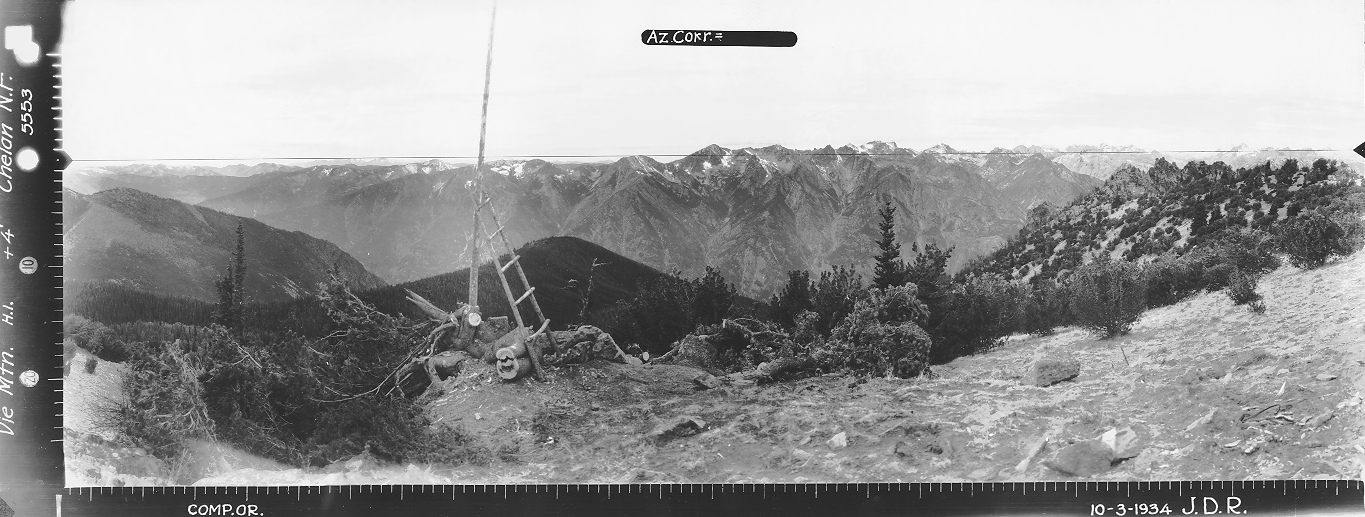

Looking North 1934
Looking Southeast 1934
Looking Southwest 1934
Supplement looking North from highpoint 1934
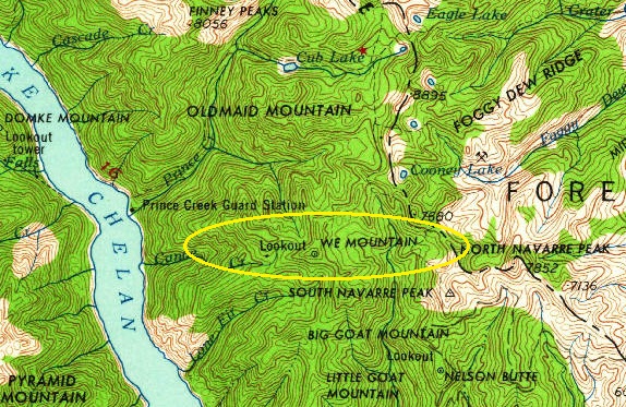
1962 showing it as We Mountain
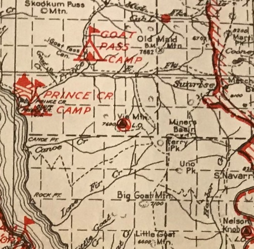
1938 Chelan National Forest
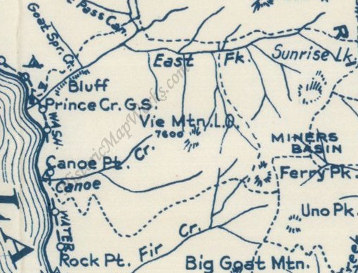
1960s Metsker Map
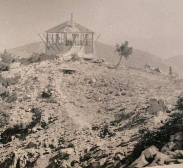
Darvill Collection
Picking a Route
There are 3 ways to Vie Mountain. I have roughly calculated all three and the route from South Navarre Campground is 2 miles shorter each way and 300 feet less total trip elevation gain. The only catch is you have to climb 900 feet back up to your vehicle at the end of your hike. On the other hand, the extra miles from the Safety Harbor Trailhead are relatively easy miles on an old roadway. Note: there is no bridge at Safety Harbor Creek crossing and this had been an issue during high water.
Lookout History
On October 3, 1934, panorama photos were taken 4 feet above ground. One extra image was taken several yards further north where you could look down into the valley. Indications in the photos appear a camp had been established.
In 1935, an L-5 cab was built.
In 1953 the lookout was burned by Forest Service.
Site Today
Some trees are overgrowing the lookout site views but there are plenty of views just a short walk up at the highpoint or along the long flat ridge. The remnents look as if untouched since the time the lookout was burned. The stove pipe, roof cap, anchors and hardware and lightning protection was all exactly where it would have been after the fire, never moved. The old trail is faint but can be found and followed the last quarter mile to the lookout site.
Driving Access
From Chelan, drive 6.5 miles on the Chelan-Manson state highway 150 towards Manson. Turn Right onto Wapato Lake Road and drive 2.3 miles to Upper Joe Creek Road for 4.2 miles where the road becomes the Grade Creek Road. Continue 22.5 miles on Grade Creek Road #8200 to Forest Service Road #155. Turn left on road #155 and go 2 miles to the Safety Harbor Creek Trailhead. For South Navarre Campground, do not turn left on 155 but continue several more miles until you are driving through the campground.
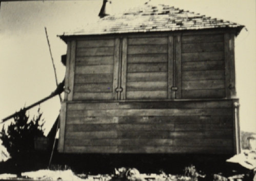
Vie Lookout in 1947
Ferry
Uno
Billy Goat
View west and Northwest from some viewpoints further west along the summit ridge.
Looking North and Northeast from the highpoint just 200 feet north of the lookout site.
Pyramid Mountain to the West from the lookout site.
West
Top of the lookout
The lightning protection rod and system going in several directions
Ferry Peak and Uno Peak
Stovepipe
Looking down on Vie Mountain from Ferry Peak
Cables, wood, hinges, glass, nails, metal
See North view 1934 image on left. Highpoint just up past those trees.


