Tumwater Mountain & Lookout Site
Towering above the Bavarian themed town of Leavenworth Washington, Tumwater is a popular destination among peakbaggers since it is the 97th most prominent mountain in Washington. But it's real charm is the history of the lookout camp near the summit. Few lookouts have the kind of history that Tumwater Mountain offers. It was in use prior to 1914 making it one of the oldest in Washington. Yet this location did not remain in use beyond the mid-1920's and the summit building that was ordered went elsewhere. If it wasn't for the Tumwater being so close to Leavenworth, we would know so little. For many years, the Leavenworth Echo newspaper reported on the lookout as if it was the local civic hall. The first reports started in March of 1914 when the local forest supervisor A.H. Sylvester announced that starting that summer, messages would be transmitted between lookouts in the National Forest by heliograph. The army had been using the device and he had ordered 5, one for Tumwater and another 4 for lookout sites to be established in the region within sight of Tumwater. Tumwater would be the central station. The other 4 would be located at Sugar Loaf, Swakane, Dirty Face, and Tip Top. If a fire broke out, they would all take compass barring (the Osborne firefinder was just being developed) and then heliograph the fire location barring to Tumwater. Tumwater would then need a phone line down to the ranger station in Leavenworth so they could relay the coordinates down to the ranger station. The rangers at the base would then plot the location on a map and dispatch fire crews.
The next year on June 18, 1915, the Leavenworth Echo reported the progress of a trail to the site, which is generally the road route we hike today from Ranger Road. "Floyd Blankenship and five men began this week on a trail to be completed to the top of Tumwater mountain, just back of town. The trail starts from the ranger station at the foot of the mountain and runs in a northerly direction to the low swag just north of town. From that point it will ascend the mountain at an easy grade on the west and north side. The ranger station to be built on top of the mountain will not be visible from the western part of town but can be seen from the east end. Ultimately it is the intention to run a telephone from the ranger office to the top of the mountain. A number of parties were watching the progress of the work yesterday morning from Front street. Mr. Sylvester says the grade will average about twelve per cent, which is not considered steep for a trail." By July 2nd, three miles of trail had been completed. By July 16th, the telephone line was in and J.A. Fernstrom was camped near the summit with a heliograph.
By August, the newspaper was happy to announce that the Forestry office at Lake Chelan had contacted the Forestry office in Leavenworth by heliograph. They did this by Chelan contacting Stormy Mountain lookout, who contacted Sugar Loaf, who contacted Tumwater, who then telephoned down to the Leavenworth Ranger Station.
The next year in 1916, the lookout was J.H. Osborn. In July, he headed up the mountain to start his lookout duty for the season with his two pack horses loaded. Just as they reached the top of the trail the horses took fright and started down the mountain recklessly , scattering his camping gear along the trail. Later that day he started up the trail with a new load reaching the summit around midnight. J.H. Osborn planned to have his wife and baby with him most of the time that summer.
In the spring of 1918, two of the "new standard ready-cut lookout houses" were ordered from Portland, Oregon. One was for Mt. Pilchuck, while the other was to go to Tumwater Mountain. But it was never placed, so who got it, that is unknown. I suspect the Icicle Ridge lookout and phone lines replaced the need for this location.
In 1920 and 1921, Tumwater was staffed by Miss Iva M. West, a young girl who graduated from Leavenworth high school just a few years before. A few more stories are in the newspapers up to the year 1922. It seems to have been no longer needed after this point.
Elevation: Lookout 4,300 feet, true summit 4,500 feet
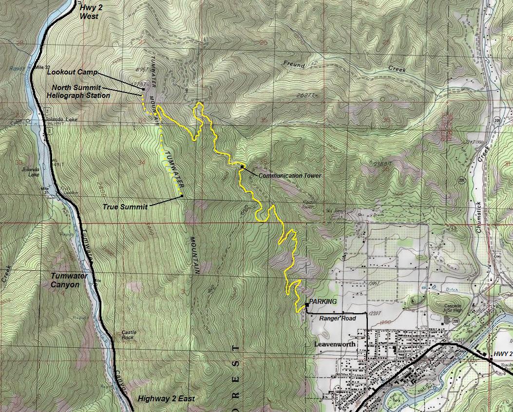
Distance: Lookout 4.5 miles one-way, additional 1 mile to true summit
Elevation Gain: Lookout 3,200 feet, both 3,500ish.
Access: Paved
Access
From Highway 2 at the West end of town, take Ski Hill Road for 0.6 miles, then a left on Ranger Road. Follow until you reach the gate in a half mile or so behind the Swiss looking Bed & Breakfast. The gate is often open in summer and fall and can be driven high on the mountain, almost to the lookout site if you have 4WD high clearance.
Washington Hiking
Using A Heliograph
The system bused for conveying messages is by means of mirrors, two of which are placed on a tripod, reflected into each other, and the flasher worked by means of a shutter, In this manner messages are known to have been transmitted up to a distance of 70 miles. The Morse code is used, the dots and dashes being worked by the making and breaking of the flashes with the shutter. Abbreviated codes will likewise be used for different signals, like 'I understand.' It is only possible to use the heliograph when the sun shines
What was the new standard ready-cut lookout houses?
The new type of lookout house adopted by the District Forester provided for a house 12 feet square surmounted by a cupola six feet square. All the house and cupola is surrounded by windows and the entire house is constructed of ready-cut material, so that it may be transported up the mountains without unnecessary trouble. The material for a lookout house weighs nearly four tons including the glass and hardware. All the pieces are numbered so that there is no time lost in putting it together and so that no extra material will be carried to the top of the mountain where the stations are located.



Point 4278
LOOKOUT CAMP
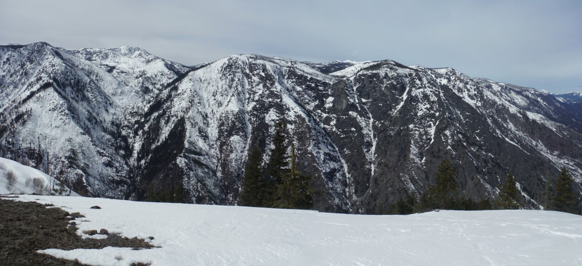
View north from the highest of the three north points, not sure which of the three had the heliograph station
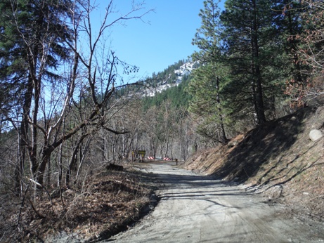
Looking up to the gate at the end of Ranger Road
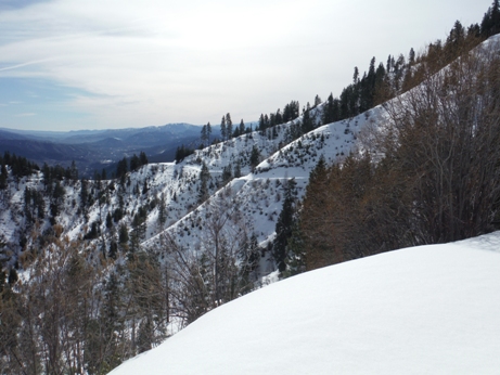
The road traversing north of the communication tower
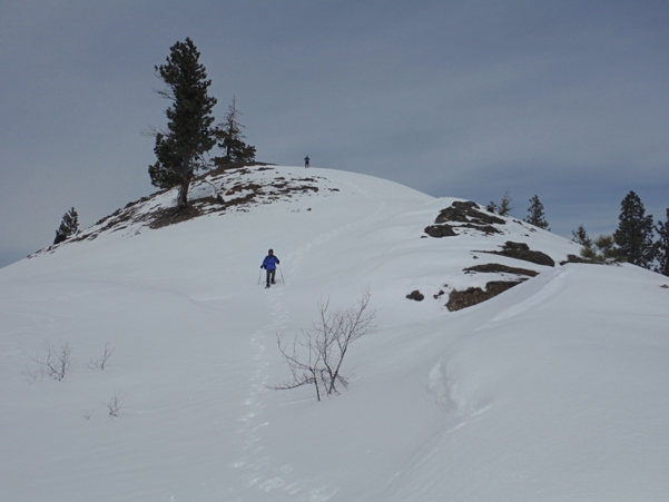
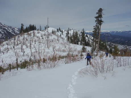
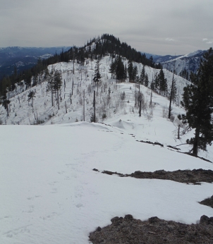
On the summit ridge, looking back at the lookout site in the distance
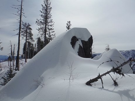
The highest point is at the top of this rock
The protected summit camp between the three points of the north summit
The final few steps to the lookout site at the north summit
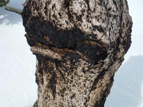
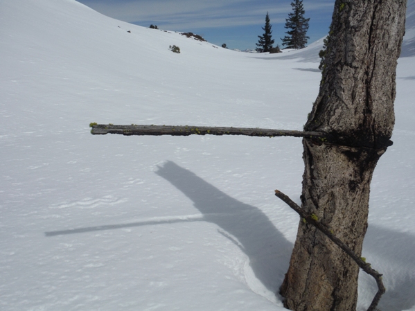
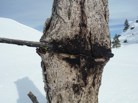
This is not a branch but a piece of wood nailed between two trees, one tree is gone and the wood piece is half burned.
The tree has grown around the piece of wood
Side angle shows the stick was nailed when the tree was quite small. Unfortunate the tree itself has died. (see 2 pictures up)
This is the view north from Point 4278 which had the best valley views
Looking south to the true summit from the lookout station area
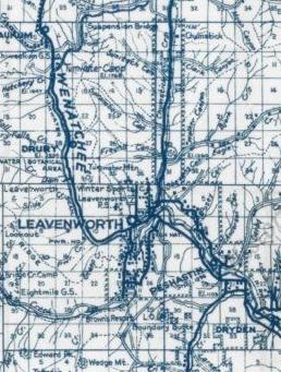
1950 map showng the Ranger Station in the area of Ranger Road at th base of Tumwater Mounain.
View west to Big Jim Mountain and The Badlands
Looking east to the Entiat Mountains and the Wenatchee Valley
