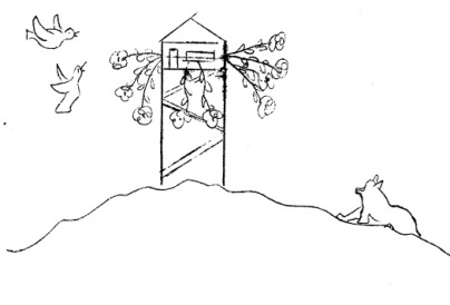
Trap Creek Lookout
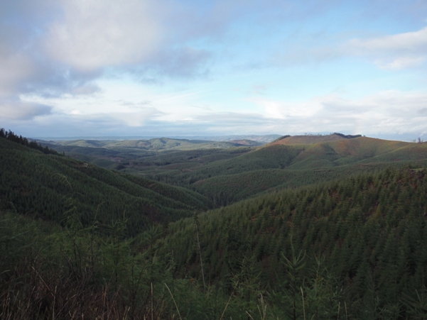
Although the elevation may seem low at 2,152 feet, Trap Creek Lookout has over 1,000 feet of prominence. The summit has huge views and feels much higher than it really is. In the distance to the West, you are looking to Willapa Bay, Long Island, Long Beach Peninsula and a distant Pacific Ocean. Recent timber harvests (2015) allow for views in all directions at the summit, except at the lookout where a patch of timber was left surrounding the former lookout site.
WillhiteWeb.com
Lookout History
In 1942, the Washington State Division of Forestry built a 42-foot tall wooden tower with 4 pole legs, and a slant-walled 8x8 foot cab on top. There was also a ground cabin for the caretakers. It looks likely that the ground cabin came in 1944 and was a surplus AWS cabin from the Willapa AWS site.
In 1961, this lookout tower was replaced with a 40-foot wooden DNR tower with enclosed cab.
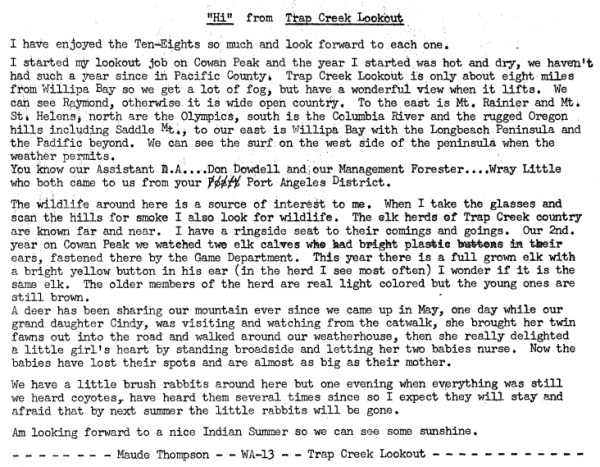
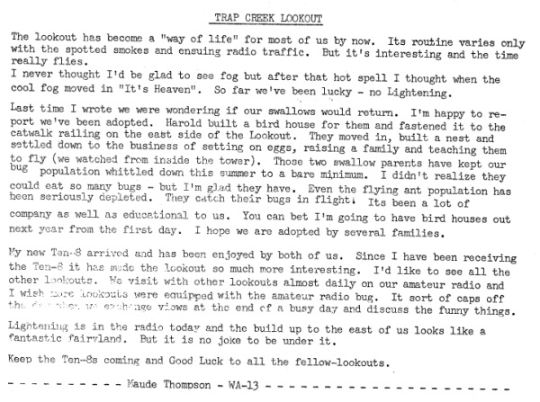
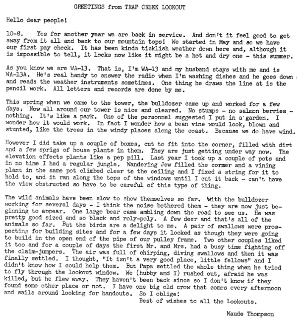
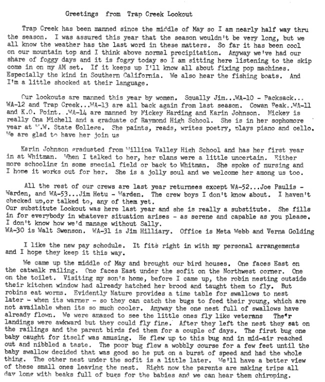
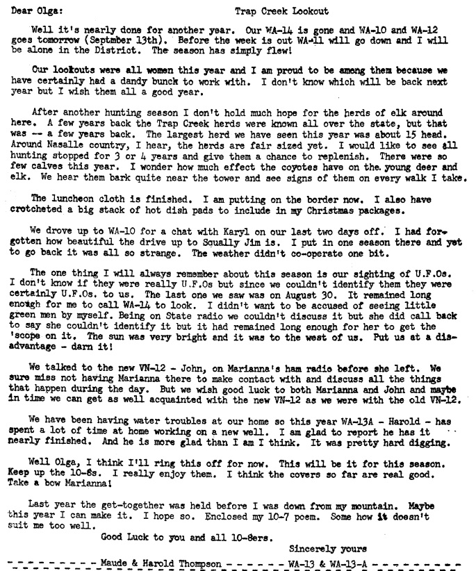
In 1964, 1965 and 1965, the lookout was Maude Thompson (see her story below).
In 1967 or soon after, it was abandoned and destroyed.
Access and Route:
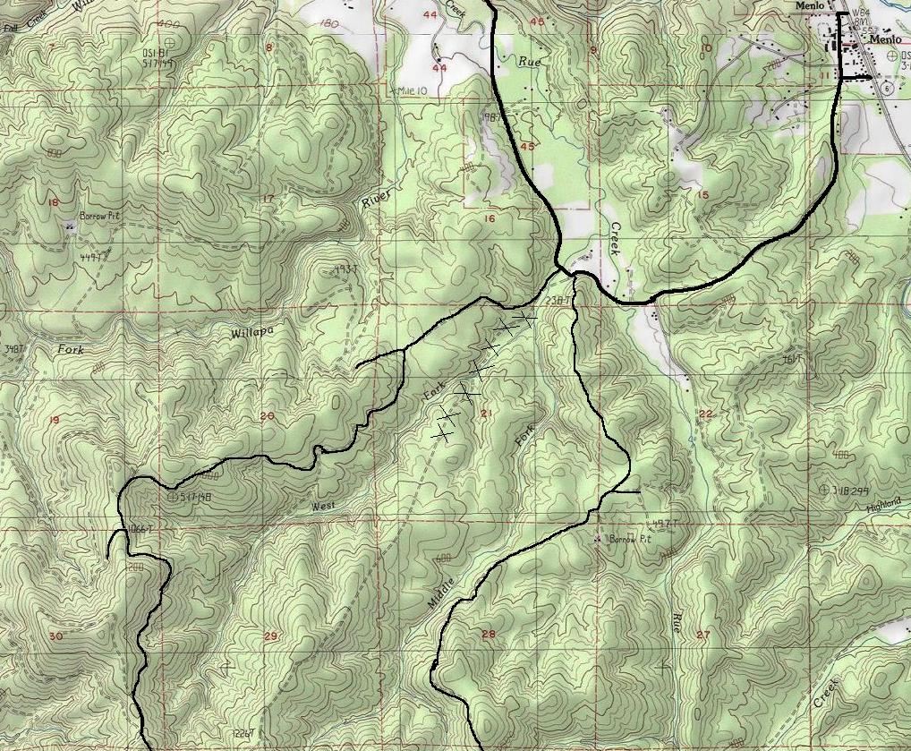
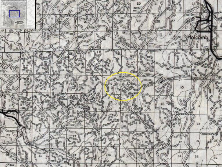
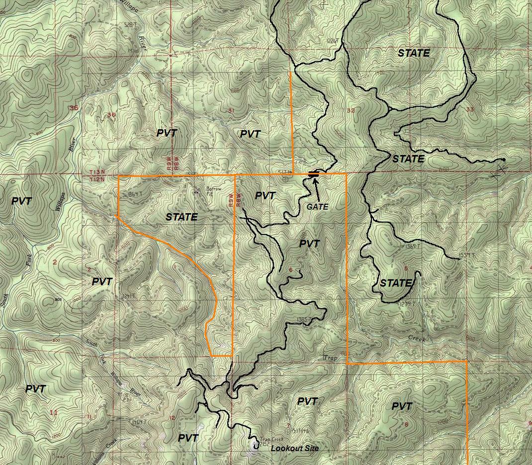
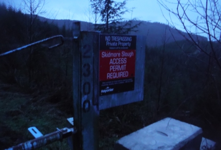
Roads converge near the summit from all directions but access is still difficult due to the summit being on private timber company lands. In 2015, it was owned by Rayonier Timber and a access permit is required to recreate beyond the gates. State land surrounds much of the area and will get you near, but still several miles distance away.
Elevation 2,152 in Pacific County
Distance: 5.5 miles
Elevation Gain: 1,000
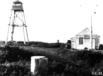
Trap Creek Lookout 1955
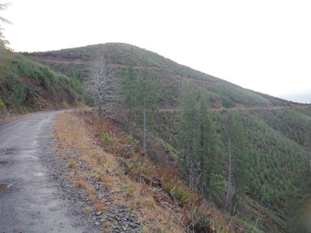
Roads in route after gate (not the summit in view)
Access permit will be required for many years
Views from the road
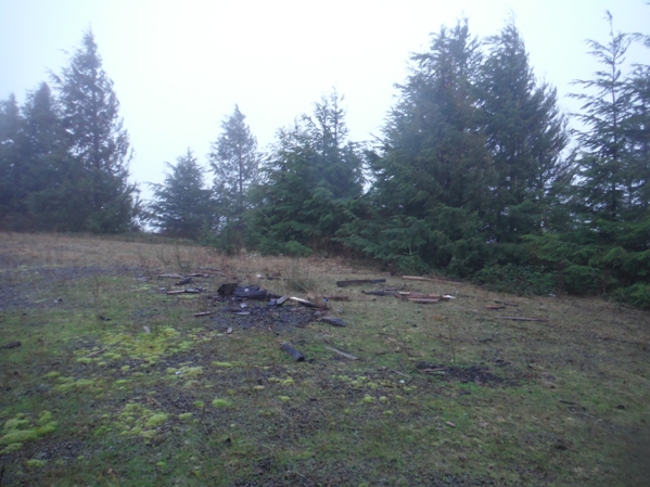
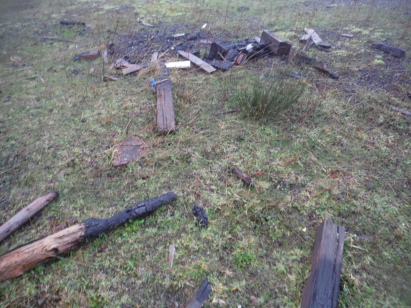
And the timeless tradition of burning fire tower timbers during summit camping outings
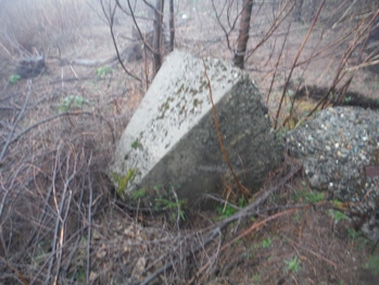
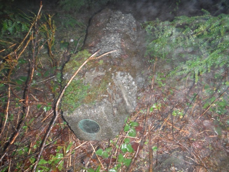
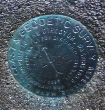
Benchmark and concrete post
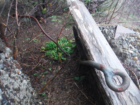
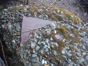
Anchor bolt and wood
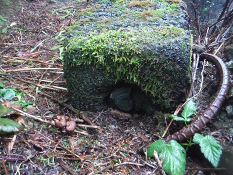
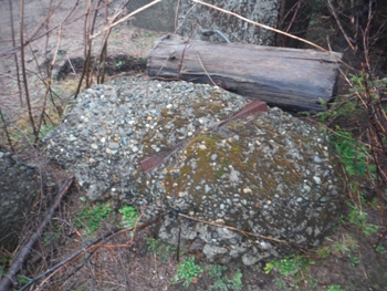
Footing
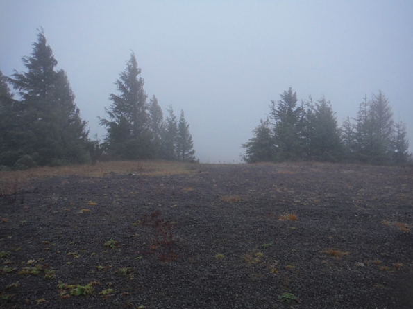
The last 200 feet up were in the clouds. Lookout area on top.
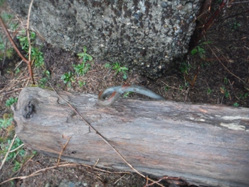
Eyebolts
The second (hidden) benchmark at the base of the concrete post
Steel in old concrete
Steel in old concrete
Trap Creek directional benchmark
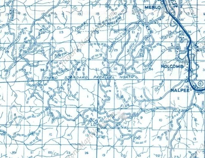
1975 Metskers Map
1980 Metskers Map
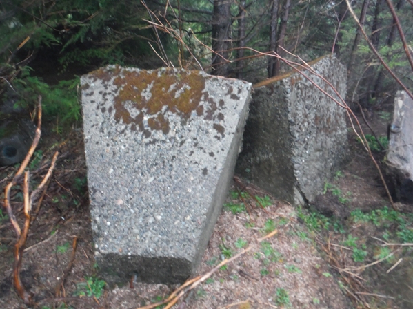
All the footings were pushed off to the side in some small trees

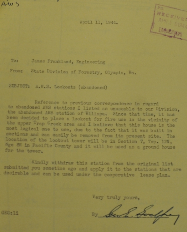
April 11, 1964 document discussing ground house
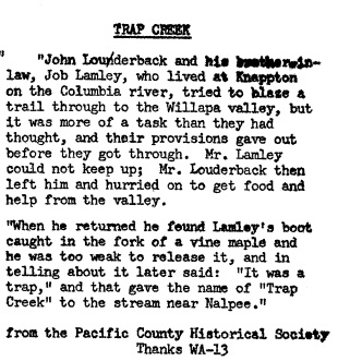
Trap Creek Name
1964 Ten-Eight publication
1965 Ten-Eight publication
1965 Ten-Eight publication
1966 Ten-Eight publication
October 1966 Ten-Eight publication


