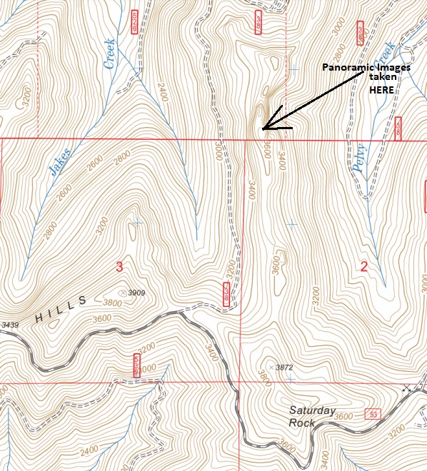
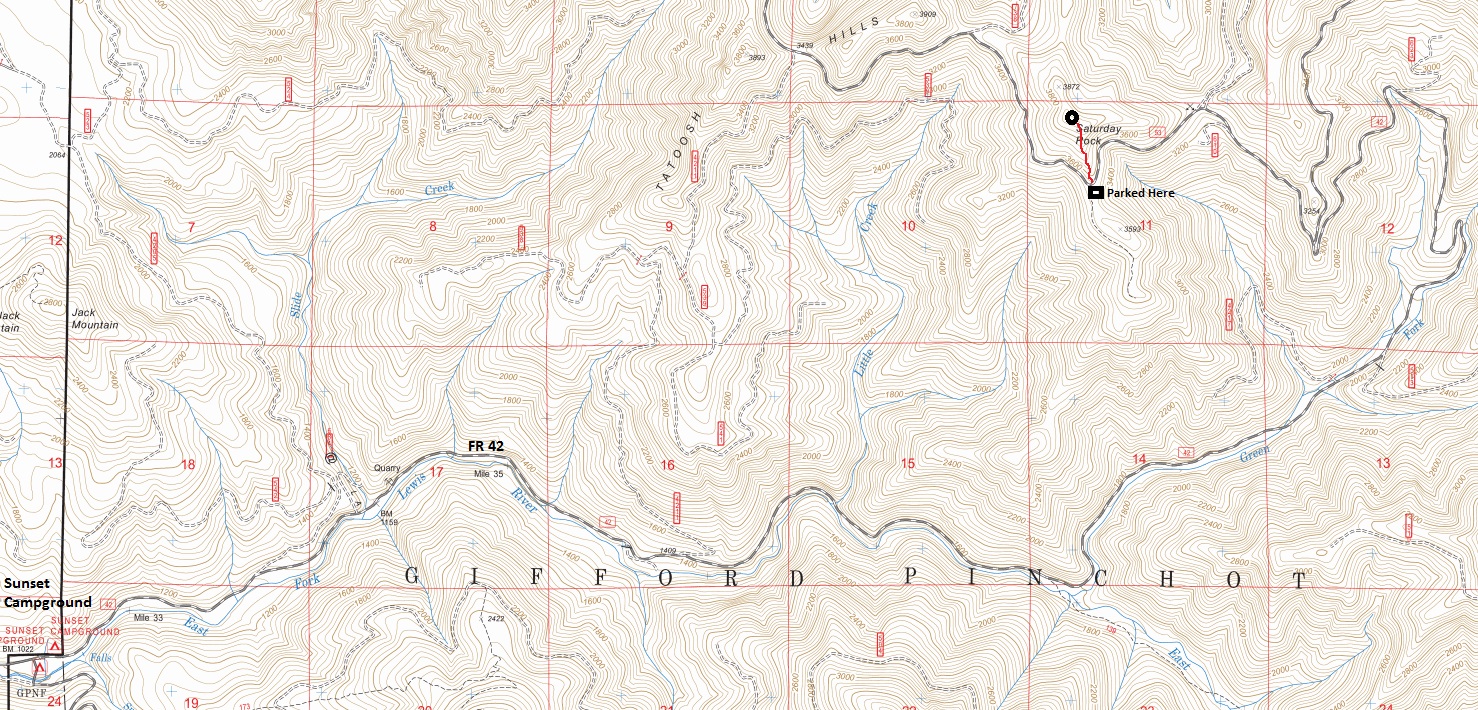
On July 12, 1934, the Rittenhouse panoramic team visited Saturday Rock to take pictures for a possible lookout site. Maps label Saturday Rock at a location much further south than where Saturday Rock is located. I visited the wrong location after not checking the panoramics. Someday I will have to go back but for now, don't make my mistake. Although, the peak I climbed does have 640 feet of prominence.
Photo Elevation: 3,680 feet (Named summit is 3,920)
Hiking Distance: Not visited actual location yet
Elevation gain: Not visited actual location yet
Access: Gravel, higher clearance best but not a must
Saturday Rock – Osborne Panoramic Site
Former Lookouts
Looking Southwest - July 12, 1934
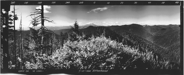
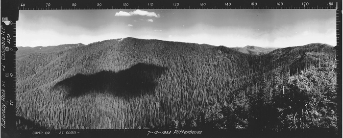
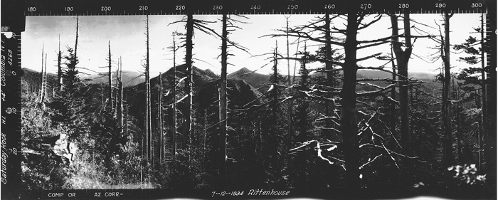



Looking North - July 12, 1934
Looking North from the labeled Saturday Rock highpoint on maps and I think the photo site is what I labeled in the picture.
Looking Southeast - July 12, 1934
Looking Southeast from the labeled Saturday Rock highpoint on maps
Looking Southwest from the labeled Saturday Rock highpoint on maps
I believe this is the location.
This is where I bushwhacked up to Saturday Rock highpoint


