Naneum Ridge Lookout Site
Lookout Elevation: 6,629 feet
Hiking Distance: Drive Up
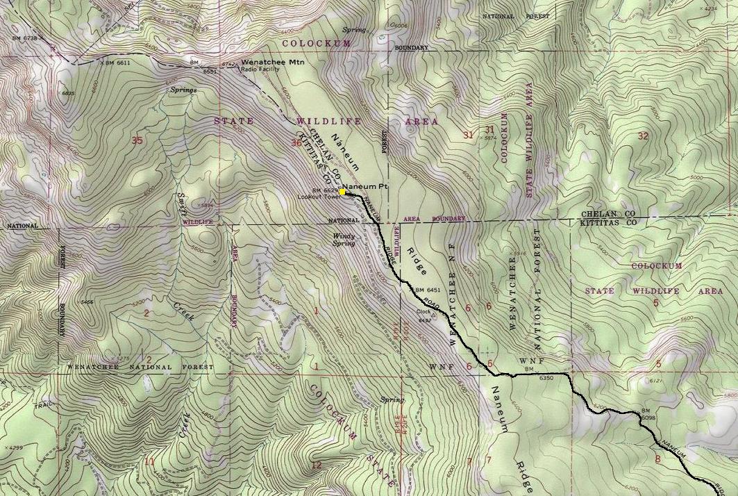
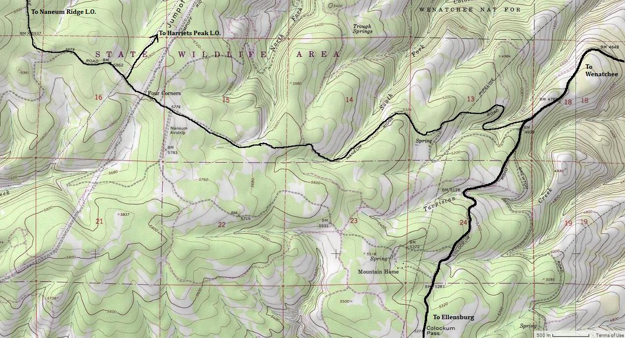
Access: Rough rocky road
County: Chelan/Kittitas
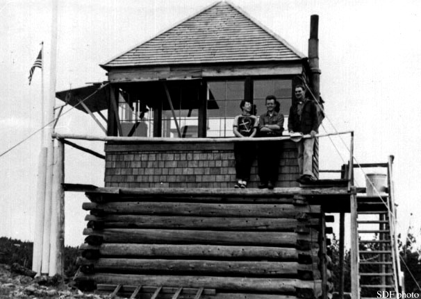
Naneum Ridge lookout or Naneum Point as shown on maps, is not the highest spot on Naneum Ridge but it is the location of the former fire lookout.
In 1945, an 8-foot log crib with a 12x12 foot frame live-in cab was built in 1945.
In 1958 a 40-foot wood tower with DNR cab was built.
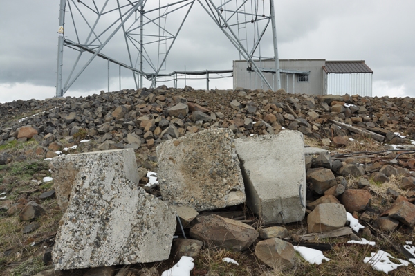
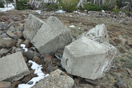
The lookout was abandoned in the late 1960's, and removed at an unknown date. The footings can now be found piled together south of the main communication tower.
willhiteweb.com
Access
The Naneum Ridge Road takes you to the lookout site. At an elevation of over 6600 feet, this is one of the highest roads in the state. Road conditions will vary depending on the season and recent rains and road grading. But, plan for roads that are slow going, rocky and potentially rutted. Most visitors during my visit were all on ATV type vehicles, and appeared to be accessing from the NE from the Wenatchee Heights/Malaga area. I came in from the southwest via Colockum Pass and Colockum Road. All roads were very rocky and slow going. Colockum Road goes from Ellensburg to Wenatchee. Both sides sucked for road conditions with the Wenatchee side being a bit shorter.
Wenatchee Mountain
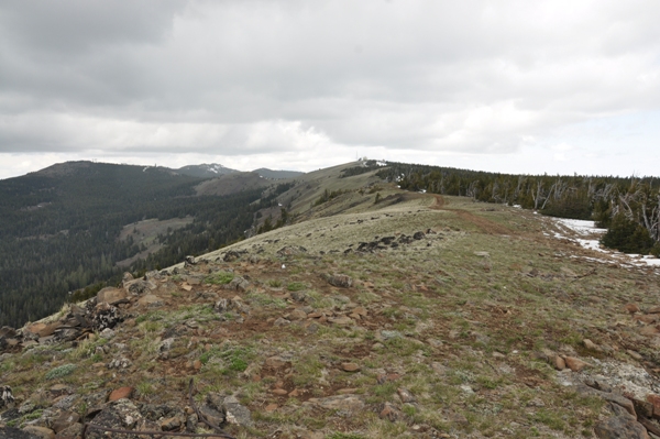
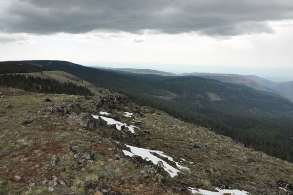
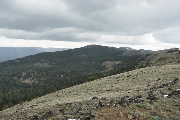
Looking south from Naneum Point
Toward Mission Peak
Lookout footings
First lookout on Naneum Ridge 1945
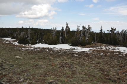
Snow just before the lookout site
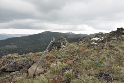
Anchor
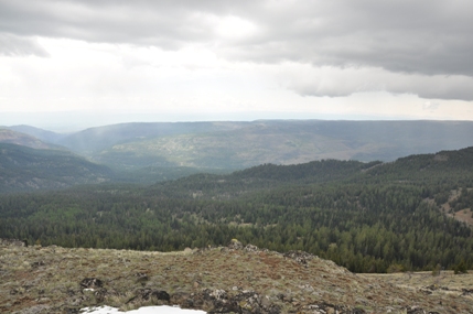
Looking east
Looking SW
Lookout footings
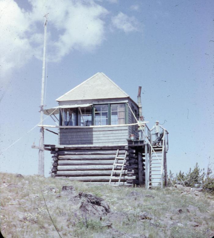
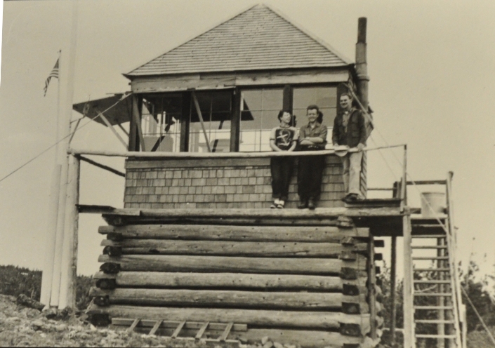
Naneum Ridge 1953
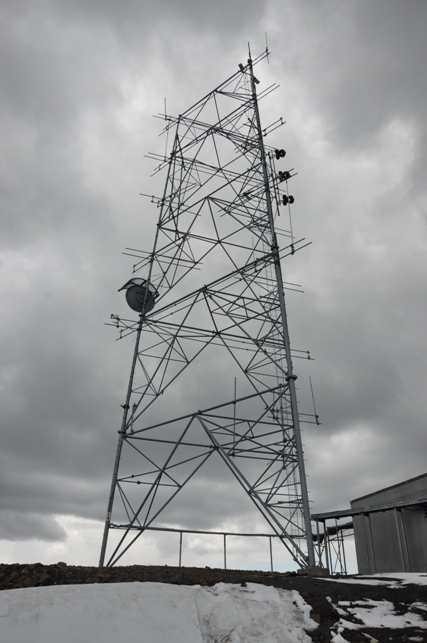
Communication towers today


