Minot Lookout Site
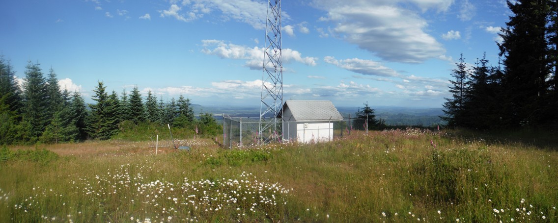
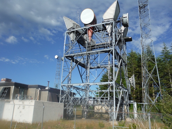
With just over 1,000 feet of prominence, Minot Peak is an attractive objective for peakbaggers. Lookout baggers will also find the location interesting as it has quite a bit of fire lookout history. Today, the summit is packed full of communication towers.
Elevation: 1,768 feet
Distance: 5.5 miles from LEM Lookout
Distance: 5 miles from Scout Camp (P-100 Line)
Distance: 1 mile if you have a motorized access permit
Elevation Gain: 450 to 1,500ish feet
Weyerhaeuser Permit Area - Aberdeen General Access Permit
Washington Lookout Sites
Lookout History
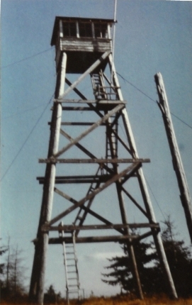
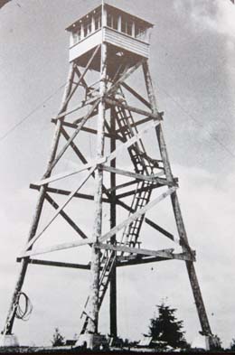
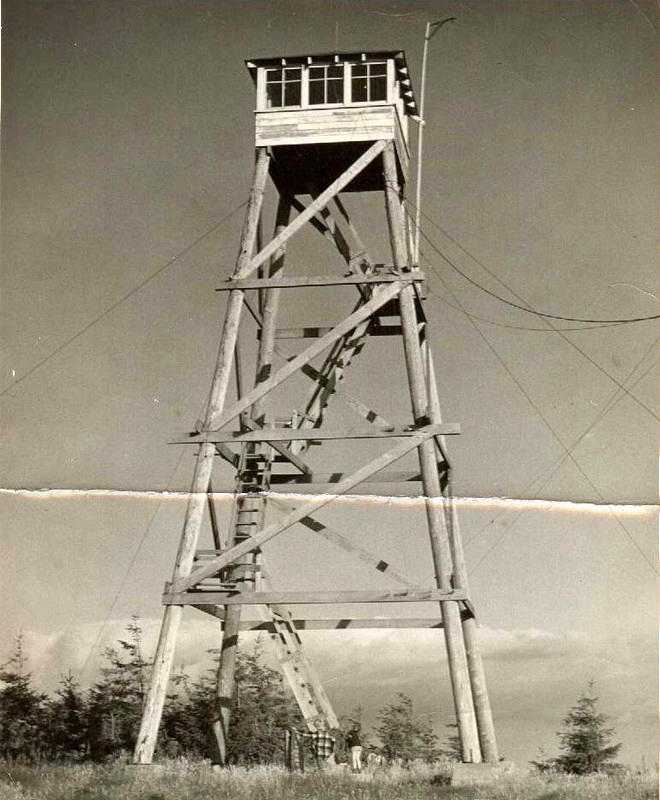
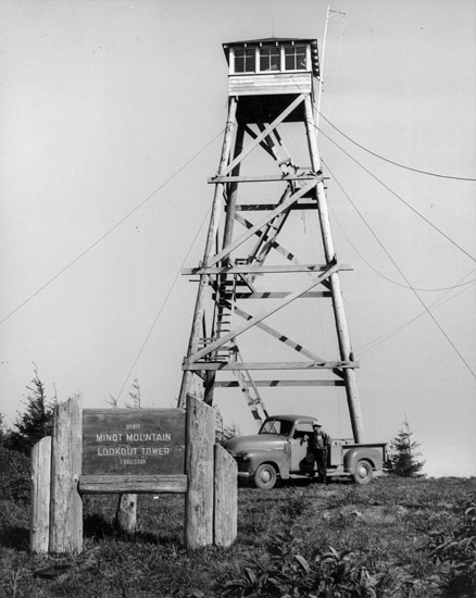
A lookout tower was erected in 1929 (22nd Annual Report of the Washington Forest Fire Association). The lookout was George M. Landon in 1930. At one point in 1930 he had to abandon his post as a fire was climbing up Minot Peak, started by campers or berry pickers. A few years later in 1933, the Minot Peak lookout spotted a fire that ended up with the arrest of the president of the Montesano Chamber of Commerce. He was burning without permit in the open air forest theater in Sylvia Lake Park. In 1935 a 50 foot pole tower and observation room was constructed. Minot Peak was used during WWII in 1944 as an Aircraft Warning Service Station. The AWS added a 12 x 20 garage to the site. At the end of service the State retained the structures to continue their use for fire detection. In 1945 "A second lookout was found necessary to replace that on Minot Mountain. This was in part because of decay in one of the leg supports and in part because it was intended to make this tower a relay station in the radio chain, and a larger cabin was essential. The tower was built during the fall of 1945, utilizing the existing anchors of the old tower for the guy lines. During the big storm of late November, when winds were registered at sea level, in gusts of 72 miles per hour, one of the eyes in the anchors straightened out and released all tension on that guy line. The second anchor bolt then pulled free, and the tower went over. It was a most unfortunate circumstance. The tower will have to be rebuilt. Fortunately, it is believed that some of the material used in construction will be usable for reconstruction." (38th Annual Report of the Washington Forest Fire Association) The following year 1946, "The Minot Lookout tower was reerected and again placed in use. The anchor bolts are set in concrete 2 feet x 2 feet x 4 feet, eyebolts are 1 1/8 inches in diameter and are galvanized for their full length." (39th Annual Report of the Washington Forest Fire Association) Ben Harner was the lookout for several years around the early 1950's, followed by Mrs. Martha Depoe of Shelton. In 1959 a new lookout was constructed with a standard 40 foot timber tower with live-in cabin. This last lookout was destroyed about 1971.
Access
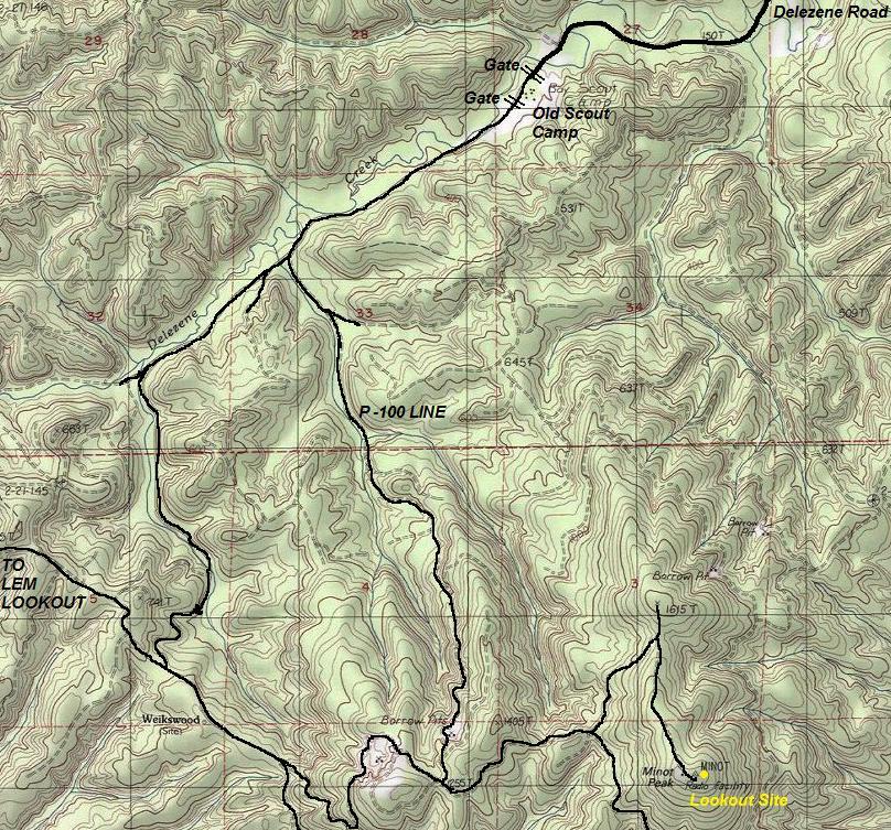
From Highway 8 going west, take the second Elma exit. Turn south off the highway onto Wakefield Road. After crossing the Chehalis River veer left, go a mile or so then turn right onto Delezenne Road. Drive until you reach the Boy Scout Camp and first gate. The last few miles are good dirt county road. I parked at the scout camp although the gates are likely open. There may also be better access from a DNR road that leaves just before the pavement ends on Delezenne Road.
My Route
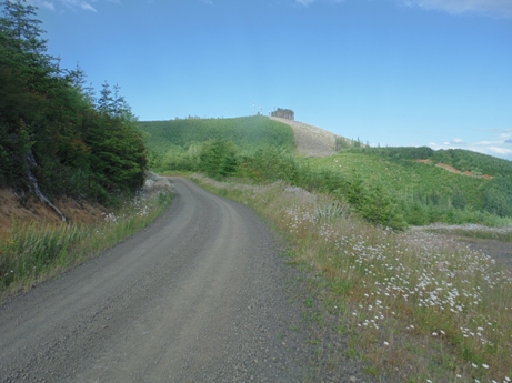
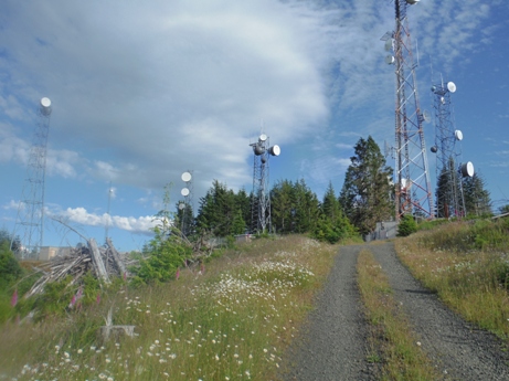
Bike or hike past the Boy Scout camp and turn left on the P100 line. A split is soon encountered, go right. Follow until you are on the ridge, then turn left. A short distance later, you can look up and view the towers. Follow road to the final gated L800 line. This is a Red Dot Road so even if you get the motorized permit, you will still be walking this L800 the final mile to the summit.
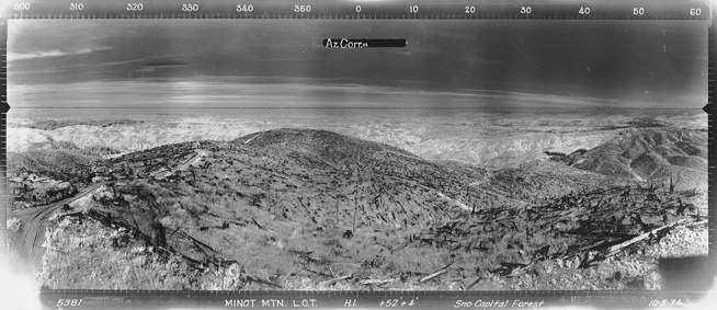
Looking North - October 5, 1934
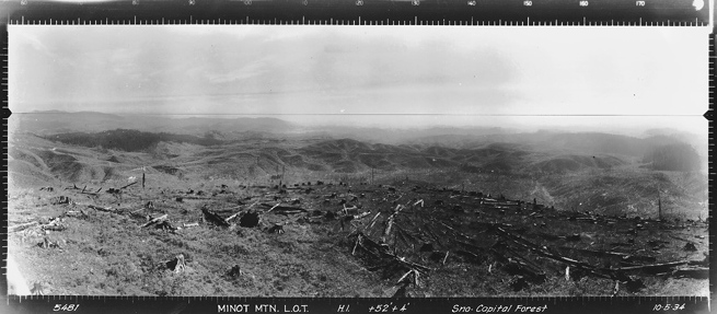
Looking Southeast - October 5, 1934
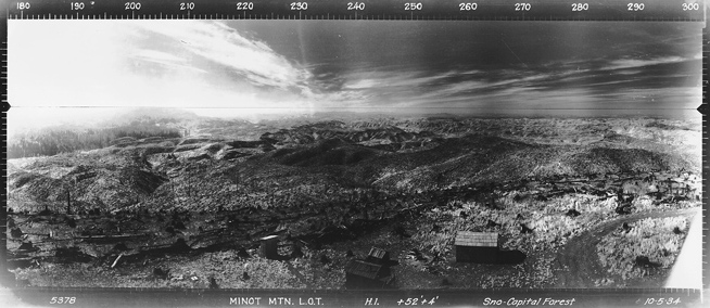
Looking Southwest- October 5, 1934
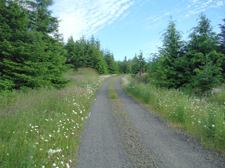
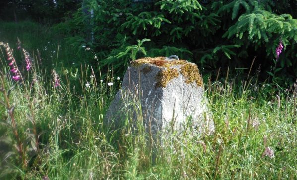
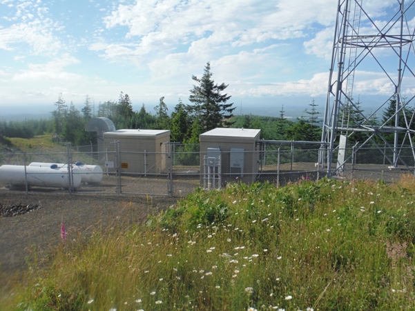
Looking North 2016
Looking Southeast 2016
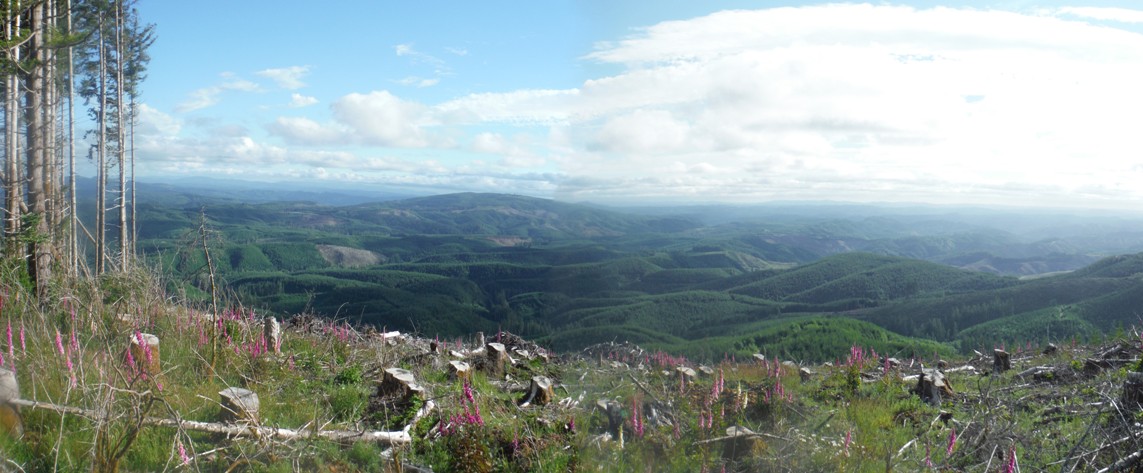
Looking Southwest from summit area 2016
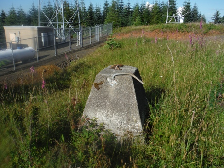
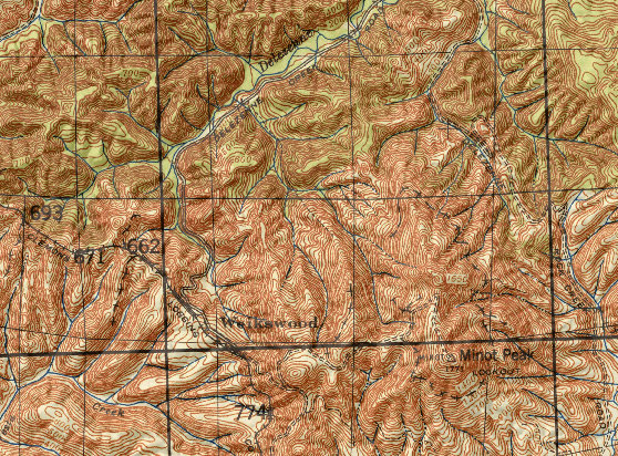
1937 Map
Ron Kemnow Collection
Boyd Church Photo
Looking up to Minot Peak in route
Nearing the summit


