
Meadow Mountain Lookout Site
Lookout elevation: 5,414 feet (Summit is 5,440+)
Distance: 1/2 mile up to 2 miles, depending on where you park
Access: High clearance for closest access
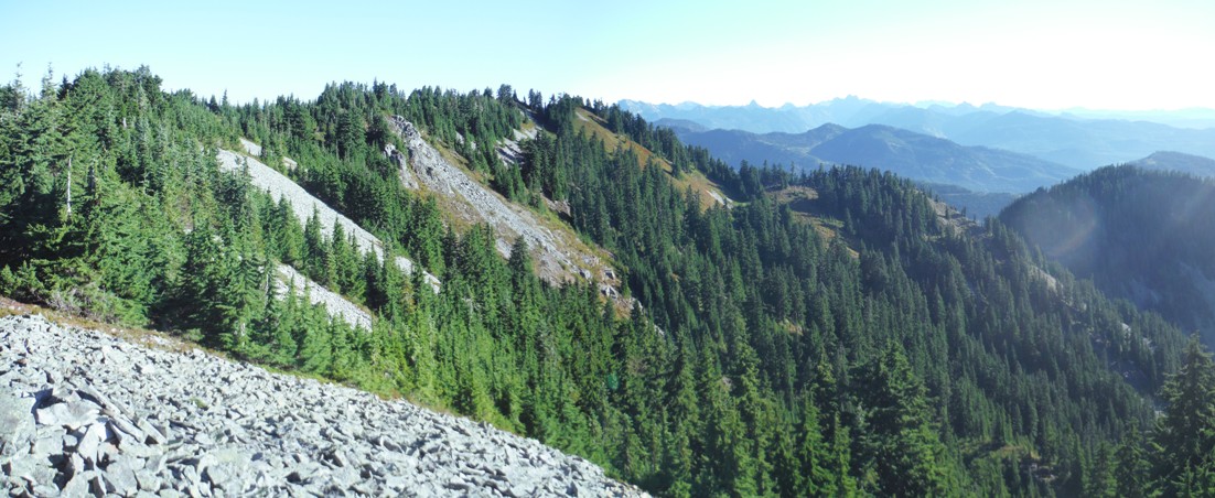
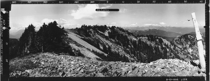
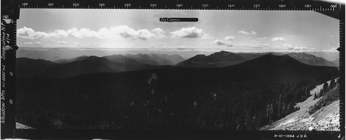
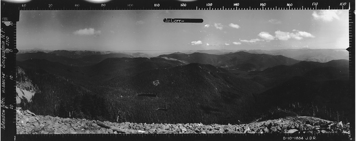
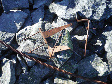
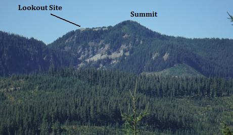
Meadow Mountain is one of just a few redeeming mountains south of Silver and Tinkham Peaks in the land south of Snoqualmie Pass. With a prominence of nearly 2,000 feet, it stands high above most the surrounding area. Meadow Mountain is most noteworthy of a former lookout site. The lookout was located at the most southern point on a prominent rock talus outcrop that can't grow trees, so the ground and view looks very similar to is original state. In 1934, panoramic photos were taken from the summit with what appears to be a lookout camp. The next year, a structure was built in 1935, it was an L-4 cab that remained until 1972. In 1958, the USGS placed a monument at the lookout site, describing the mountain as "a rather prominent mountain, more or less timbered except for the south end. There are some interesting trails from the summit in three directions. Each vanish at some point when they go into areas of harvest. But high on the mountain, they are still quite evident and fun to follow.
Washington Lookout Sites
The notes in 1958 by the USGS mentioned the lookout location is accessible by helicopter. This might be the landing location or this is for use by the Cedar River Watershed. A 5 minute walk on the ridge from the lookout site.
Access
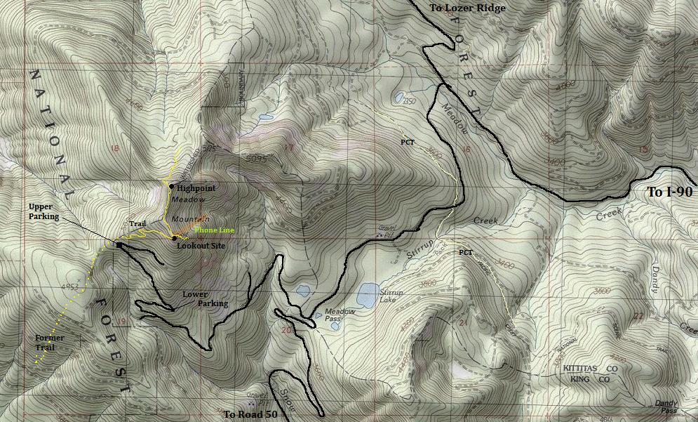
Take Exit 62 off I-90. Go west toward Stampede Pass for one mile to the end of the pavement and a Y intersection. Turn right onto 5480 signed for Lost Lake in 4 miles. Only go 1.6 miles to a road on the left, possibly signed as 5483. Take this road 3.6 miles to another left turn, possibly signed for Meadow Pass. In 2 miles, reach Meadow Pass. Now turn right and go 2.4 miles or as high as your comfort level. The map below shows two parking spots. The upper one will need high-clearance 4WD until the brush overtakes it completely, making it a trail.
Route
From the parking at the last switchback, walk the road to the first talus field. Climb up the talus, then through some trees to a second talus field. At the top of the second, hit the old trail and follow it up to the lookout site at the south point. For the north point, which may have been a patrol point, follow the trail north, immediately passing two holes that were the restroom facilities, stay on ridge, trail improves the further you go. An interesting H is in an open spot for helicopters to land. The north point is a rock outcropping with good views into the Cedar River Watershed and the backside of the I-90 corridor peaks. Returning from the lookout site on the old trail is another option but can drop you too low at the end.
These 4 phone lines drop down the mountain side, would be interesting to follow and see where they go. (see map for location)

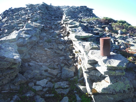
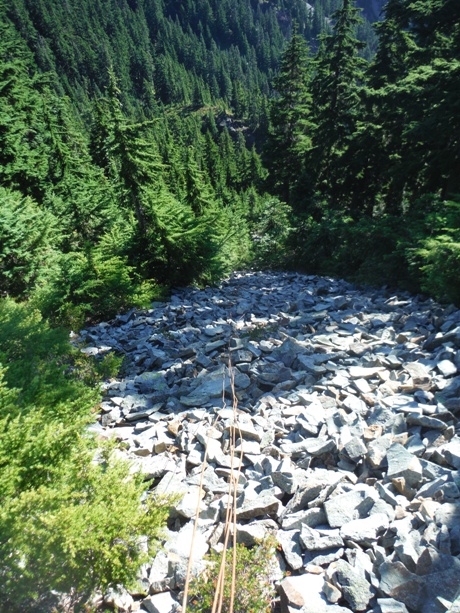
Last few feet up to the lookout site
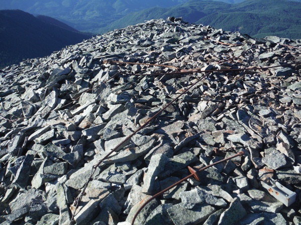
All the anchor lines are still up there
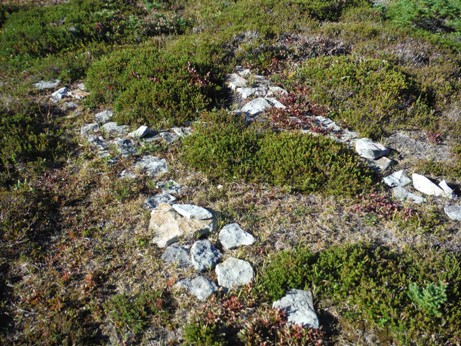
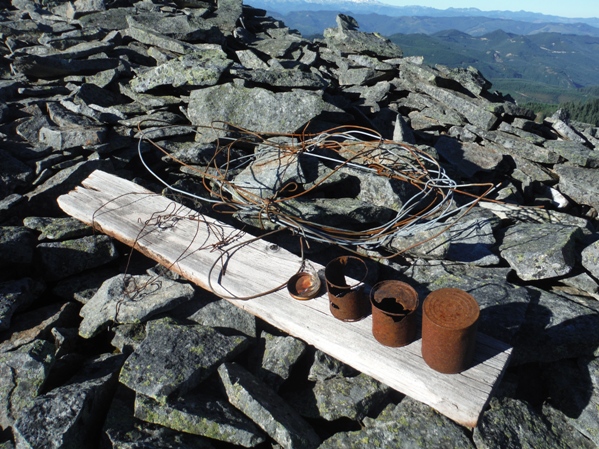
History on display
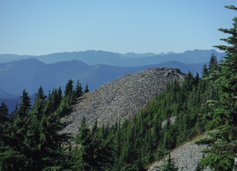
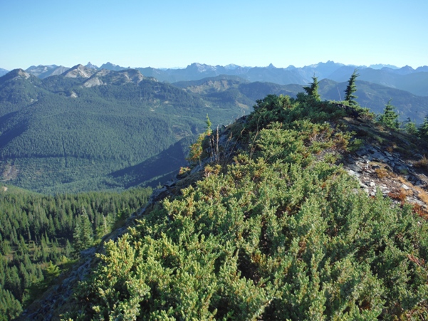
Meadow Mountain from a distance
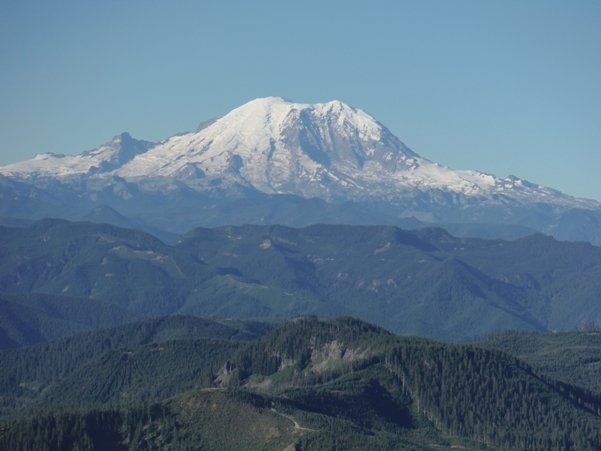
Mount Rainier
This is the north point (highpoint) that may have also been a patrol point for fire

It would have looked something like this...and maybe one day will again. Meadow Mountain would make an excellent location for a rental lookout if a spot was needed. Especially once the road becomes a trail, this will make the distance just right to keep out the trouble makers but not to far for a family to hike into. The trail from the road switchback could be connected and fixed up in just one weekend party.
Southeast 2015
Southeast 1934
North 2015
North 1934
Southwest 2015
Southwest 1934


