Little Bald Mountain Lookout Site
Fire Lookouts of Washington
Access:
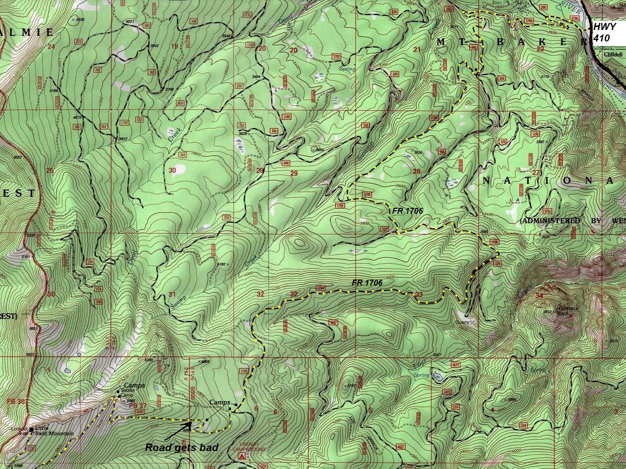
You can still drive to the summit. From Highway 410, take the exit to Boulder Cave. After 0.3 miles of paved road, turn left on FR 1706. This road is good for nearly 9 miles to a location marked on my map. From there, it gets rougher and cars with less clearance will not enjoy, although it is possible to drive. In a few miles the road splits on the ridge and it is one last rocky mile to the top. (use map provided) Many car camping spots are available in route to the summit. There is reported to be a multi-use trail (trail 961) that leads right up to the peak from the Halfway Flat campground near hwy 410. The trail is open to dirt bikes, mountain bikes, and hikers.
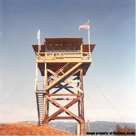
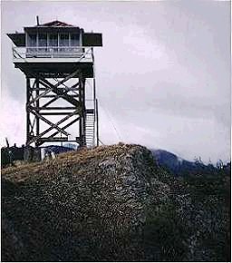
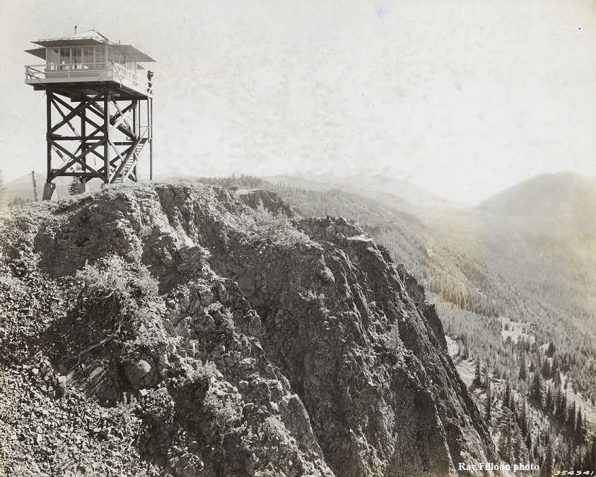
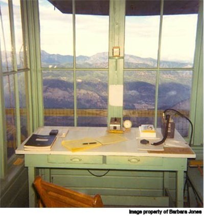
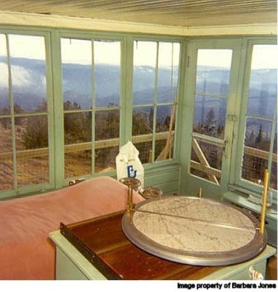
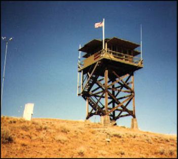
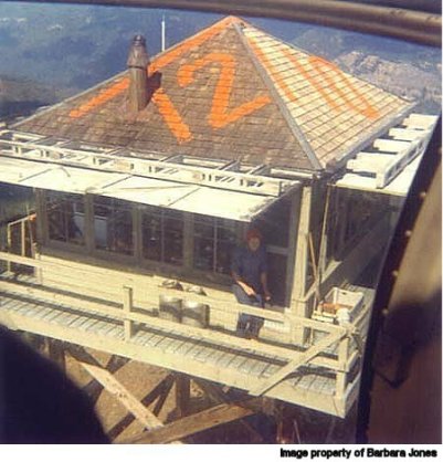
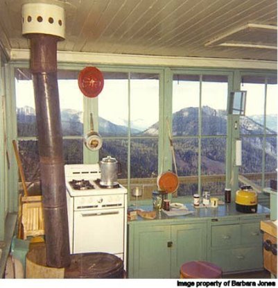
Reported as built in 1936, Little Bald was a 20 foot treated timber tower with an L-4 cab. The lookout accidently burned to the ground in 1980 during the lookout's day off. Plans were to replace it with another tower, but the Forest Service took over staffing duty at Cleman Lookout instead. A prior lookout existed before 1936 based on the 1934 panoramics that show a man on the roof of a structure. The side of the photo indicates the camera was 15 feet above ground. Whether there were one or two structures, I don't know. Little Bald is located south of Highway 410 while nearby on the north side of the highway is Bald Mountain, often called Big Bald to distinguish it from Little Bald. From various papers and blogs, we know a few of the lookouts. During the summer of 1943, one of the female lookouts was a grade school teacher, who was "slightly-built five feet three in her serviceable woolen socks." During latter part of the summer of 1958 the lookout was staffed by Tom Bigley who has written much material online about his time there. He was filling in for the regular lookout who was a student from an east coast university. He had hitch-hiked all the way across the country for the job and had to leave early to hitch-hike back for his fall term. Tom explains how groceries were delivered after they radioed their list of items to a radio dispatcher. The order was filled by a nearby store where a running account was maintained. The supplies were delivered by the next Forest Service crew that came up that way. He suspects that the propane stove was the prime suspect in the fire that destroyed the lookout in 1980. In the early 1970s, the lookout was manned by Barbara Jones. There may be a benchmark in the Northeast concrete footing.
Elevation: 6,108 feet
Distance: Drive-up
Access: Good gravel, but last 2 miles are rough rocks


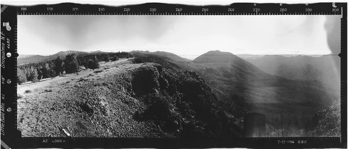
Looking Southwest 7-17-1934
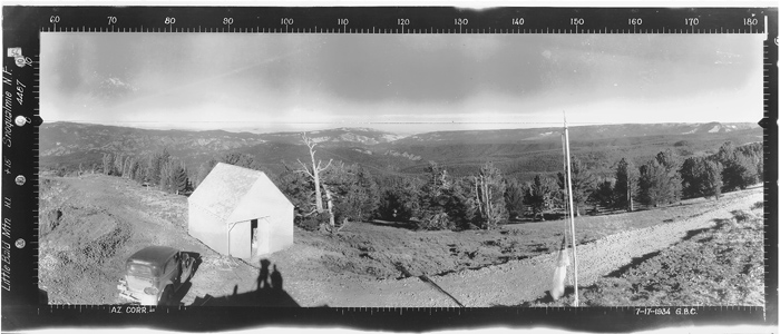
Looking Southeast 7-17-1934
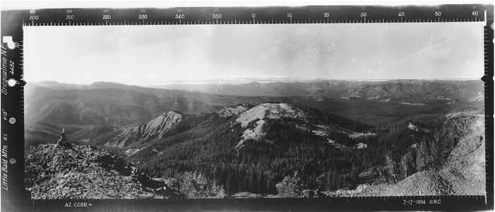
Looking North 7-17-1934
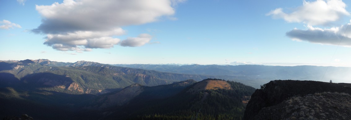
Looking North 2016
Looking Southwest 2016
Looking Southeast 2016
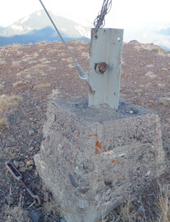
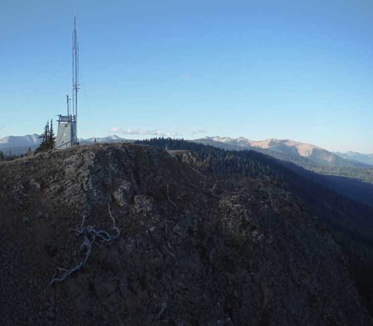
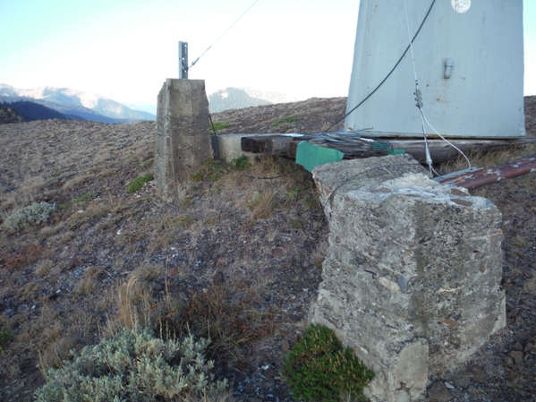
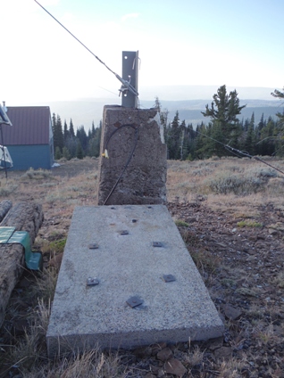
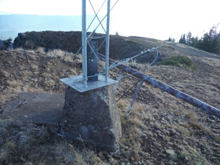
Footings now used as guy line anchors
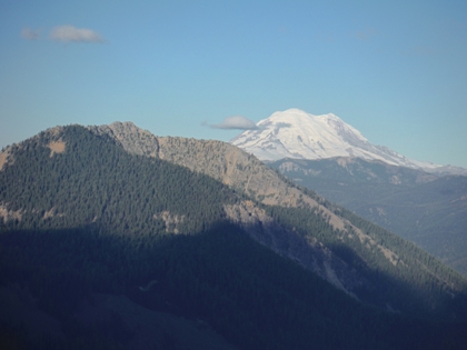
Mount Rainier to the West
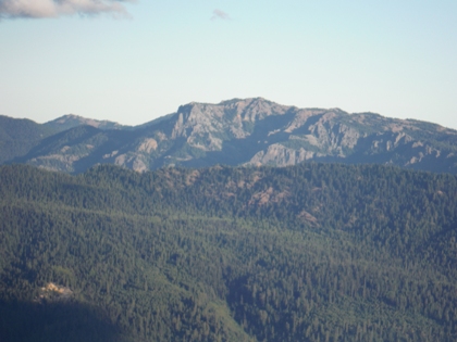
Fifes Ridge
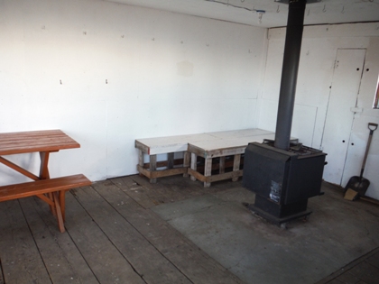
Inside the Little Bald Shelter
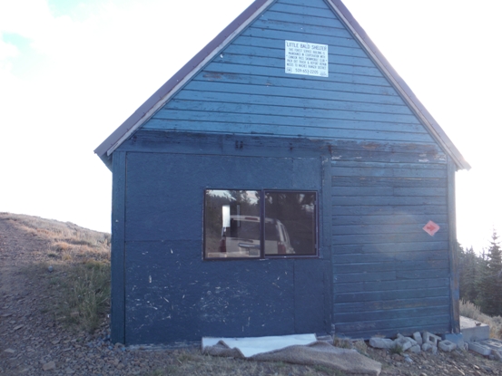
Little Bald Shelter
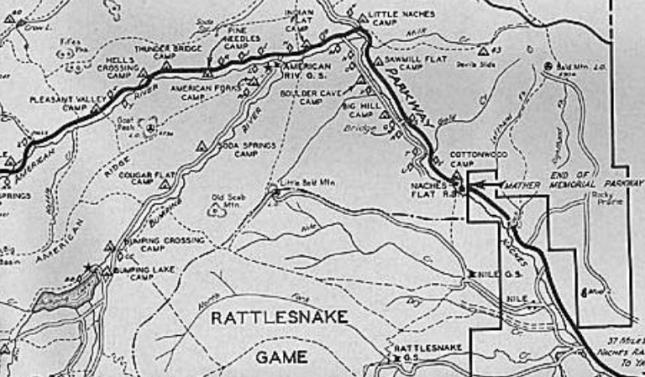
1937 Naches District Recreation Map
Tom Bigley images
1970 Little Bald Mountain Lookout
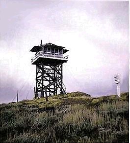
1937 Little Bald Mountain Lookout
2016 Little Bald Mountain Lookout Site


