Highrocks Lookout Site (Mount Stohr)
Lookout elevation: 1,463 feet
Elevation gain: 500 feet
Distance: 2 miles
Access: Good Gravel
Date: 2015
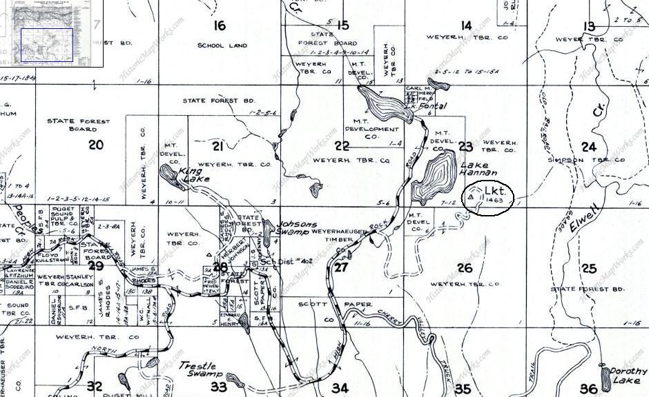
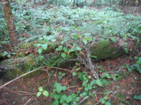
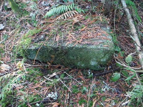
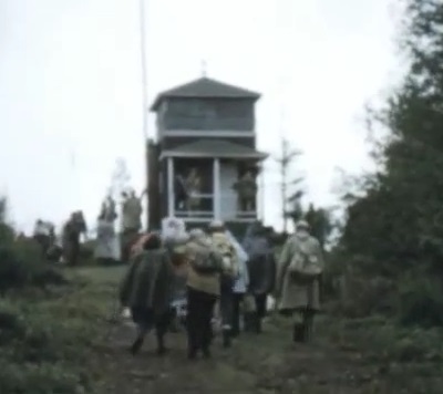
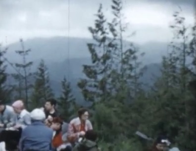
This low elevation lookout placed by the Washington Forest Fire Association served the lowlands south of Monroe and east of Duvall. The location today would be perfect for a lookout needing a new home...if the trees were removed. The lookout is on private land, owned by the Catholic Church. The entire area including Lake Hannan is part of the camp. Reports say that in 1930 the site had a 10 foot wooden enclosed smokehouse managed by the Washington Division of Forestry (DNR). The summit was benchmarked in 1937 and the lookout was mentioned. High Rock was discontinued in 1939 when the Snoqualmie Lookout was built. It was felt the area arond Highrocks was covered enough with the new Snoqualmie Lookout 12 miles south and Blue Mountain built a few years before to the north. (32nd Annual Report of the Washington Forest Fire Association) But it turns out, "the plan did not fully work out, and it was found necessary to reconstitute High Rock as a lookout point in 1944. The building is of the type which has living quarters in the base, and a ten foot square glassed in lookout house in the upper story. The type was developed by the Association in 1941 and has been quite successfully used since that date, as several were placed in use by the Air Raid Warning Service." (37th Annual Report of the Washington Forest Fire Association) The USGS revisited the site in 1952 and said the lookout at that time was a house with a cupola. It was abandoned again in 1957. We have images from May 15, 1957 (shown below) when a Mountaineers group did a day hike up to the lookout. The USGS visited in 1960 and reported the lookout house had been burned with the remnants remaining on the ground. Today (2015) all that remains is some concrete and a single old log with old bolts protruding. The camp calls it Mount Stohr.
Access
Washington Fire Lookouts
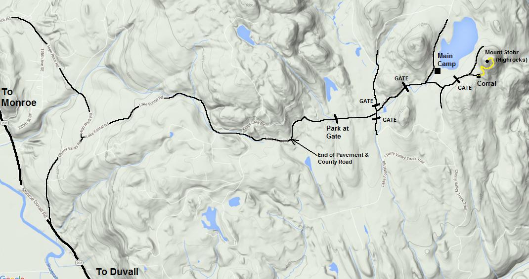
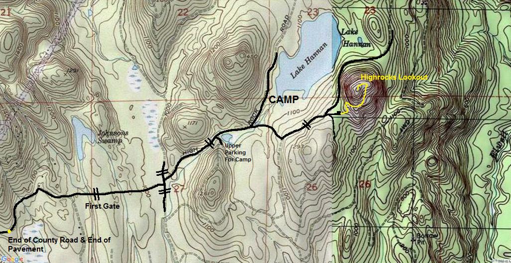
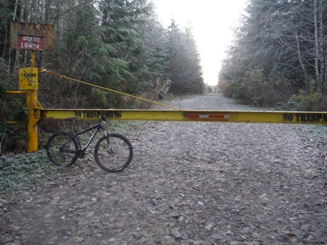
From Highway 203 in Snohomish County, take the northern Cherry Valley Road (not the Cherry Valley Road just north of Duvall). Follow to a soft right onto Lake Frontal Road. Take a left at curve as Frontal Road turns into Kayak Lake Road. (Stay on Frontal Road). County road turns to dirt. Continue to yellow gate and park. With permission, continue on foot or bike.
Route
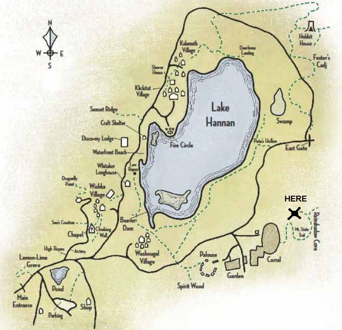
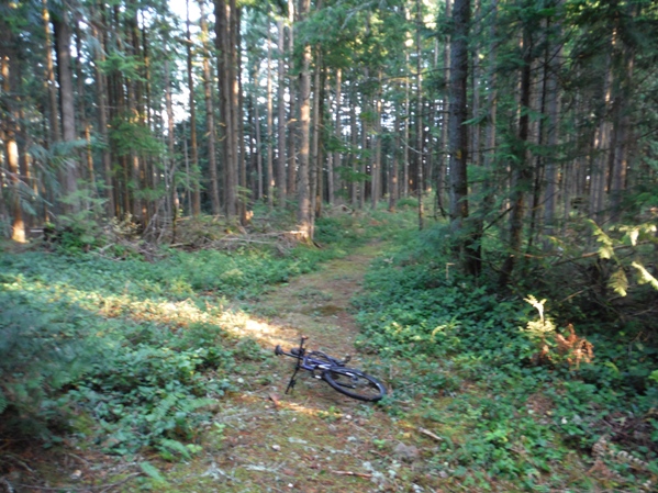
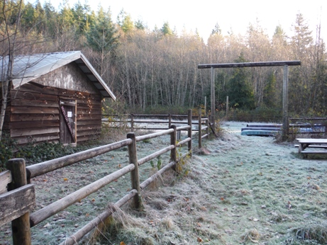
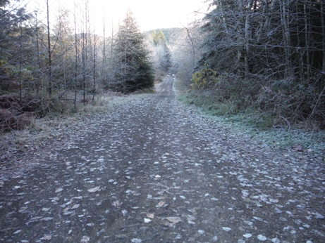
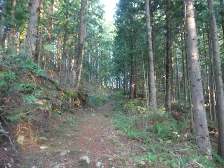
Walk or bike road to a large 4 way intersection, turn left then a quick right. Follow, passing a gate and a road on right saying upper parking and a pond on your left. A major Y is reached, left goes to Lake Hannan while you want to go right. Follow the maps provided. When you reach the Corral, pass right through it, you'll find a trail on the other side going up the old road that reaches the summit.
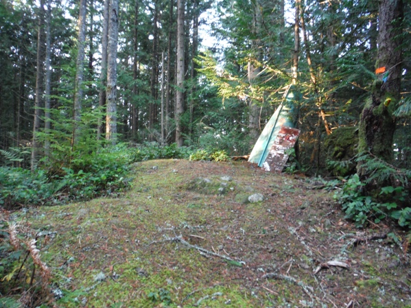
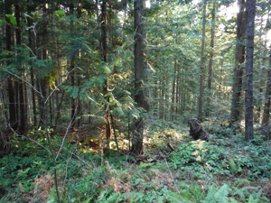
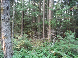
Summit of Mount Stohr with a half canoe on display
Start gate
Between the first gate and 4-way intersection
The Corral - cross and go between wood gate on far side
Old road (trail) up Mount Stohr
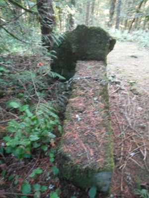
Some old concrete
Old wood log at the summit was used for something
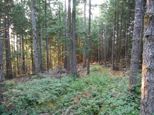
Wooded views from the summit
Very large concrete tower at the summit
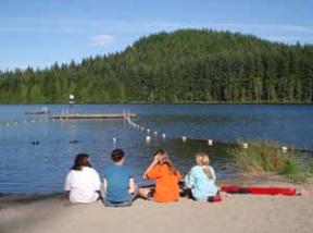
Mount Stohr from Lake Hannan
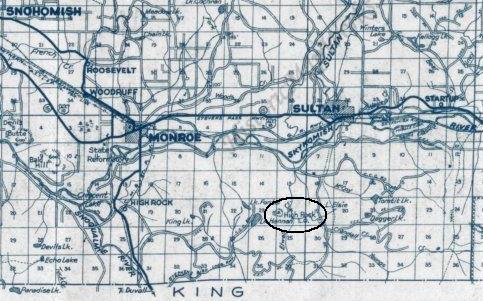
1960 Metsker Map
1945 Metsker Map
Camp Hamilton Map
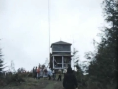
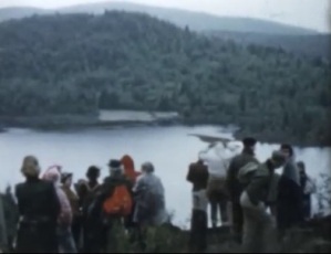
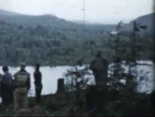
Lake Hannan from the lookout
Lake Hannan from the lookout
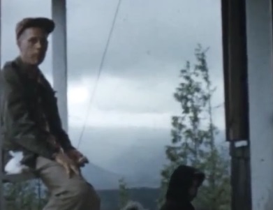
Sitting on the porch of the lookout
May 15, 1957 (the year it was likely abandonded)
Views from the lookout site
Views in 2015


