Goat Ridge Loop & Lookout Site
Lookout elevation: 6,201 feet
Elevation Gain: 1,600+ feet
Distance: 2 miles
Access: Good Gravel
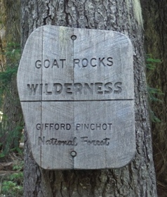
Located next to the most popular trailhead in the Goat Rocks (Snowgrass Flats), Goat Ridge gets a fair amount of visitors as well. This hike can be done as a loop and offers great views without much effort and a former lookout site along the way.
WillhiteWeb.com
Access
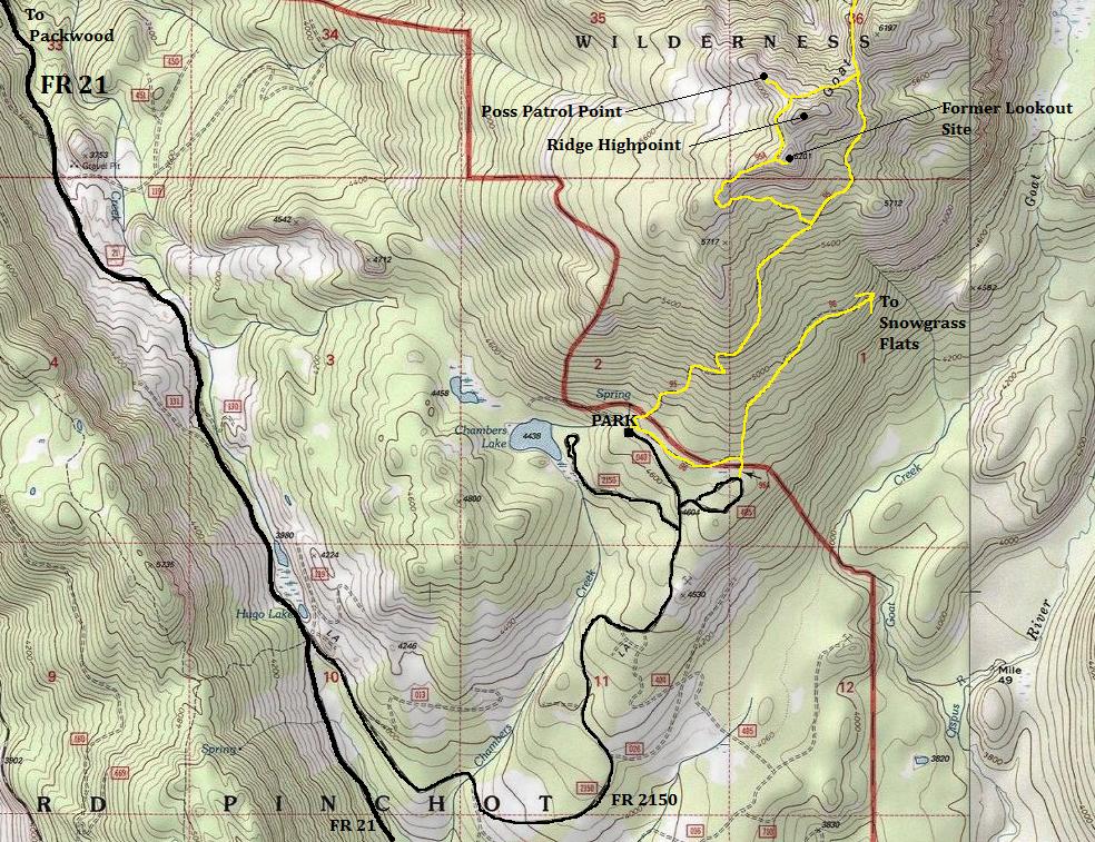
West of Packwood 2.7 miles is Forest Road 21. Follow this very good gravel road for 13 miles then take a left on Forest Road 2150. Follow 2150 for about 3 miles to the trailhead.
Route
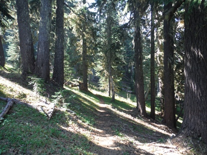
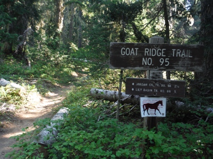
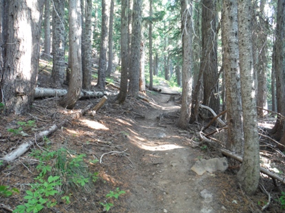
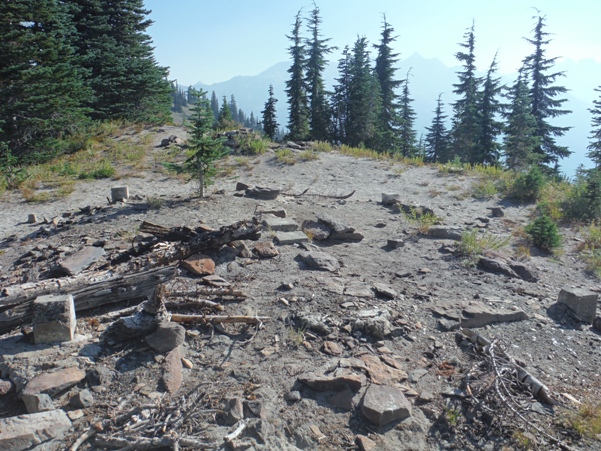
From the Berry Patch Trailhead, the trail climbs north through forest into the Goat Rocks Wilderness and to a trail split. Go left, following the trail under than up Goat Ridge. Near the top is an unmarked trail split. Right is the lookout site while left drops a bit continuing the loop. Many unsure hikers have probably stumbled into the lookout site by going right, even though it is a dead end at the lookout. For the loop, the left fork continues around the true summit of Goat Ridge and then down to trail #95 and back to the trailhead.
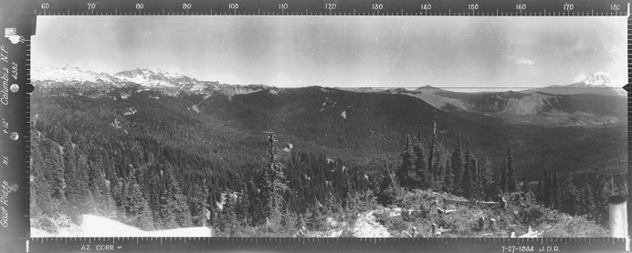
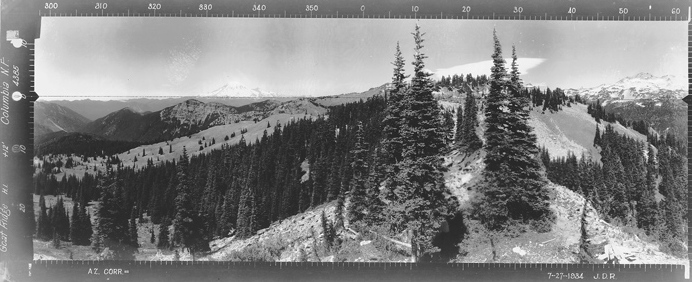
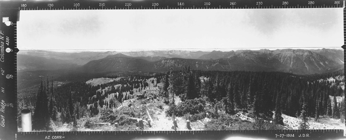
Southeast 1934
Southwest 1934
North 1934

North 2015
West 2015
On trail at about 5700 feet
Lower in the forest
Higher up forest
Mount Rainier
Goat Ridge Fire Lookout
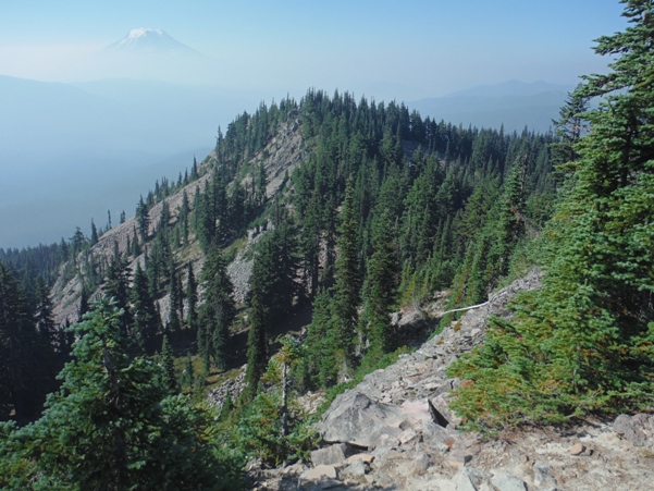
Goat Ridge Lookout site
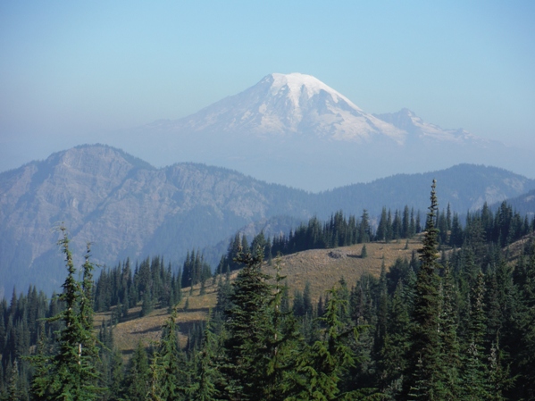
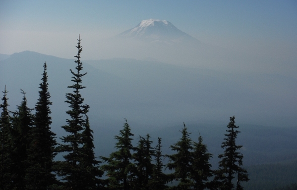
Looking south to Mount Adams from the lookout site with smoke from fires of 2015
Looking south from the ridge highpoint at 6240+, looking down to the knob with the lookout site
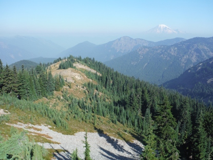
From the ridge highpoint, the NW ridge had a well defined trail leading out to what could have been a patrol point. I dropped down to the trail as it branches off the main trail, taking the ridge out and then droping a bit to some disturbed ground and abruptly ending at the most effective point to see to the valleys to the NW, views not visible from the lookout site.

Goat Rocks and the long Goat Ridge from the possible patrol point NW of the ridge highpoint
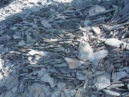
Rocks near the highpoint
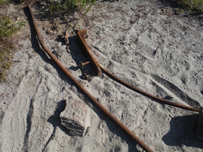
Old lookout parts
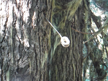
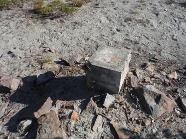
Footing
Lookout History
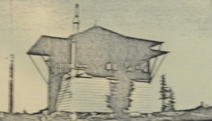
The L-4 cab lookout with a basement was built in 1933 by Oscar Boyer and other CCCs. It was built enough in 1933 to secure for the winter, with the finishing work in 1934. The lookout was still in use by the Forest Service in 1963, even getting 4 inches of snow at the beginning of July. Probably in 1966 the lookout was removed. Panoramic pictures taken in 1934 show a view similar to today without much change.
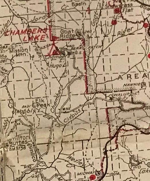
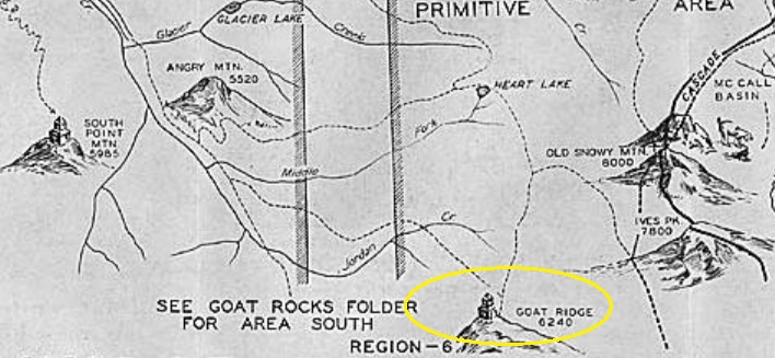
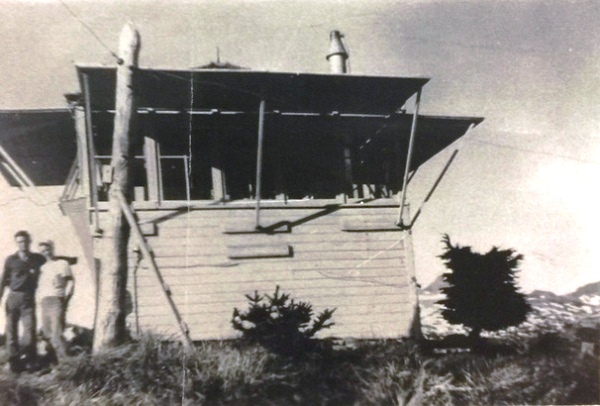
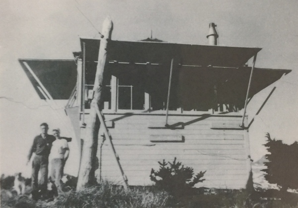

Goat Ridge Fire Lookout
Same image as above with dog cropped out but more mountains on right
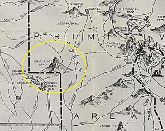
1940 Columbia National Forest
1936 Recreation Map
1937 Recreation Map
1965 Mountaineers Trip Report


