East Tiger Mountain
The highest point in Tiger Mountain State Forest is East Tiger Mountain with its communication towers dotting the summit. It is not much of a hiking destination anymore but if you like to mountain bike, the summit is part of a extremely popular loop trip. I do not have any pictures from my hike.
WillhiteWeb.com
Summit Elevation: 3,004 feet
Distance: 4 miles
Elevation gain: 1,600 feet
Access: Paved
For being one of the closest lookouts to Seattle, you would think there would be more images available. Being so close, there are many old hiking books that reference this lookout as a destination.
In 1945, the lookout tower was built. It was as 83 foot high creosoted ring connected treated timber tower with a 14 x 14 L-4 cab.
On 1967 the tower was destroyed.
Fire Lookout History
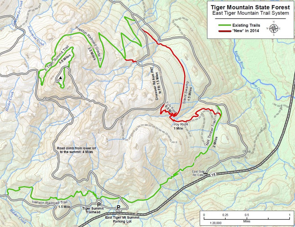
Take Highway 18 to Tiger Summit. If biking loop or no discover pass, start at the parking lot next to the highway. If hiking, there is a parking lot 2 minutes up the left road (see map).
Access
Arlene Brandal was a lookout in 1961, the lights of Puget Sound every night must have been such a contrast compaired to other lookouts.


Below: From Lookouts: Firewatchers of the Cascades & Olympics

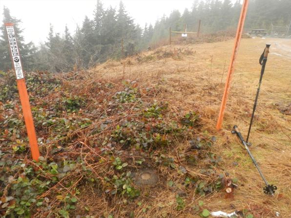
Above: Summit benchmark
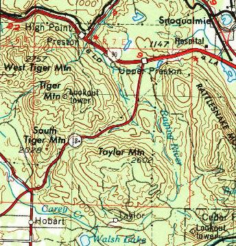
Right: 1957 USGS Map
Below: Trail map of area, start at Tiger Summit and go up roads 4 miles to the triangle.

August 13, 1961, Tiger Mountain in the Seattle Times


