Doty Lookout Site
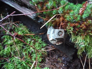
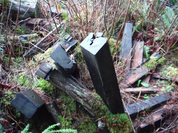
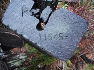
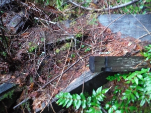
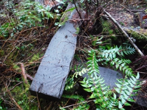
The Washington Division of Forestry built the Doty Lookout in 1942. It was a 28 foot pole tower with a 7x7 foot cab. It was destroyed in 1964. Some of the remnants can be found near the summit at the edge of the woods on the right as you reach the summit by the road. About a third of the view was available after a recent timber harvest but new trees are starting to take the view away. Mature trees block the remaining view. We learn from a 1953 USGS party that there was a ladder that lead up to the tower, and a cabin about 25 feet south of the tower. The local newspaper (The Daily Chronicle) lets us know that the Doty Lookout seemed to be a target by vandals. On July 30, 1954 its reported that Sheriff's officers received a call Thursday that three men were bothering two women lookout operators at Doty....the territory around the lookout station was declared closed, and the men warned to stay out of the no trespassing area, the officers said. The two women lookouts in 1954 were Marilee Stepp and Miss Joan Hadaller. On September 28, 1960 Lewis county sheriff's officers were investigating the breakin of the Doty forest lookout sometime early that week. Boards were knocked off of the lookout tower and a radio antenna pole ripped down. All 10 big windows in a bunkhouse were broken. On October 12, 1963, hunters determined on vandalism tiped over the outhouse and threw it in the brush 15 feet from the open hole. They also mutilated signs for the protection of life and property by shoot at them for target practice. On June 19, 1964 the newspaper reported the destruction of the Doty Lookout by vandals sometime during the past two months has left the fire lookout tower in a mess, Wayne Johnson, Chehalis district administrator, State Department of Natural Resources, reported Friday. We went up this week to ready the post for the summer fire season before a lookout is stationed there and found the shelter in a mess, Johnson said. The heavy duty cable that is wrapped around the tower to protect the shutters was removed and stolen. Entry to the post was made by forcing the door. Thirty windows in the tower were smashed. Some were shot out and others broken with rocks or poked through with sticks. A grill on a stove was ripped out and stolen. In addition, 80 feet of lightning arrester cable on the tower legs was stolen and 20 feet of copper tubing taken. The tower is subject to vandalism every year, but this year was the worst, Johnson said.
WillhiteWeb.com
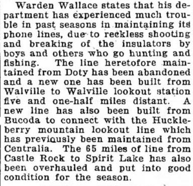
This article on June 10, 1927 in the Chehalis Bee-Nugget mentions a phone line from Doty being abandoned due to vandalism. It's not clear if they were talking a lookout or a town but the sentence finishes with saying a new line was completed to another lookout instead, so it seems likely there was a lookout camp or structure prior to 1942 on Doty.
Access
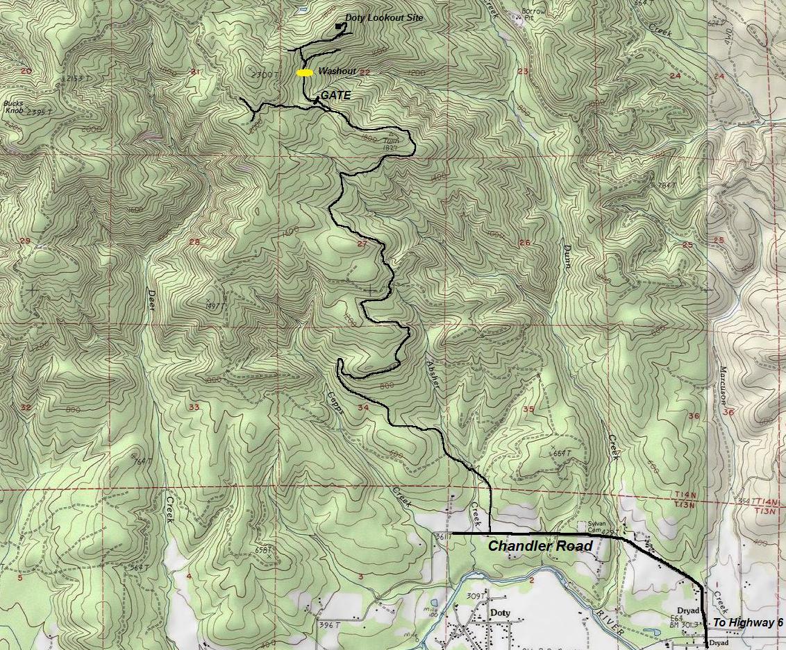
There is good access from the south on DNR roads that have not had gates for many years. All of it is on DNR lands, about 5 miles of good gravel roads. Use map below and park at gate shown on the map. Take Highway 6 east from I-5 in Chehalis. Turn off the highway near Doty, at the signs for Rainbow Falls State Park. This puts you on Chandler Road which is on my map.
Route
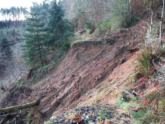
From the gate, walk a few minutes to a Y, go left uphill and immediately hit a landslide (2015). Once past, follow road short distance to ridge top and a T. Go right, follow up and just below the summit to another Y. Go left and it wraps around to the summit.
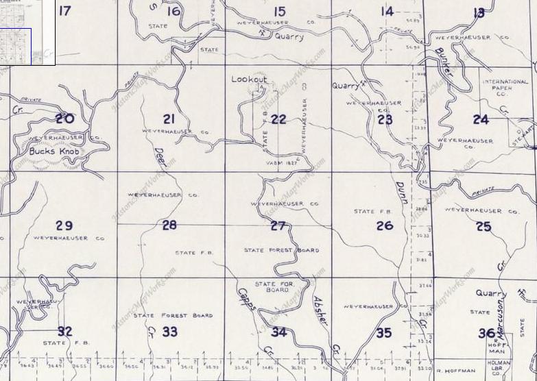
1960 Metskers Map
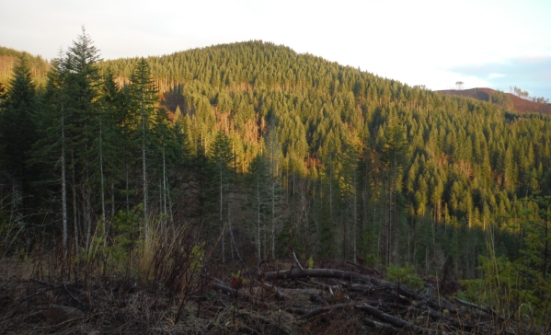
Doty Lookout from the South
Landslide that took out the road just after the gate.
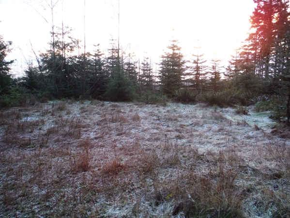
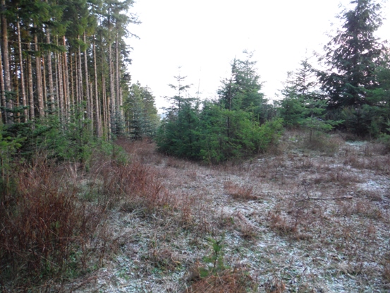
View from the lookout site standing on a high stump looking North over another new rotation of timber
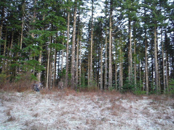
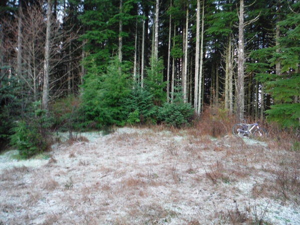
From the summit looking west
From the summit looking south
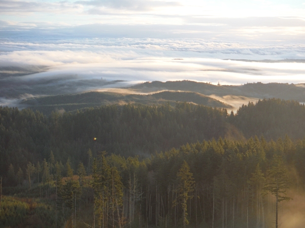


Lookout site looking NE
Old road coming up to the site, looking North
Doty Lookout
Bolt
Timbers
Timbers
Timbers
Views from clearcuts near the Turn Benchmark as you drive up to the lookout site

Elevation: Around 2,081 feet
Hiking Distance: 0.8 mile
Elevation Gain: 300 feet
County: Lewis
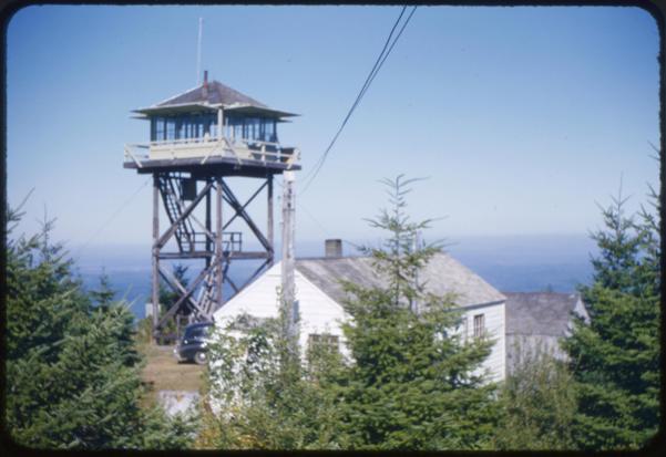
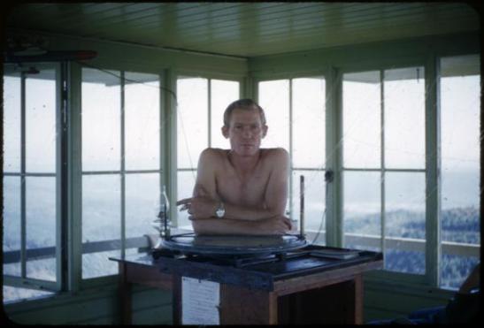
September 4, 1953


