Cascade Lookout
WillhiteWeb.com
Access:
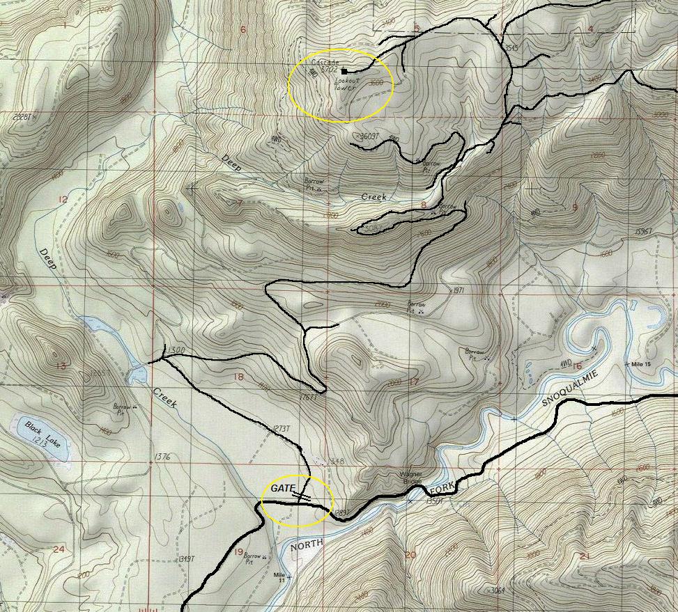
From North Bend take Ballarat Street north off North Bend Way in old North Bend. Follow this road becoming 108th St. then 428th Ave NE. At 4 miles is a left at a big Y, (go uphill) (sign says Dead End). Follow the road 17 miles or so to locked gate #31.
Located at the western prominent point of the ridge South of the Tolt Reservoir Watershed. Cascade Lookout was built to replace the Snoqualmie Lookout which was 2,000 feet lower. Cascade Lookout would watch over the Snoqualmie Tree Farm.
Elevation: 3,702 feet
Distance: 8 miles (permit holders can drive-to)
Elevation Gain: 2,500 feet (permit holders can drive-to)
Access: Fair gravel road to gate
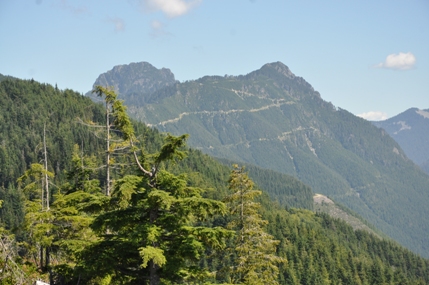
Mount Phelps to the east (taken in route to lookout)
Other Images found on the Web
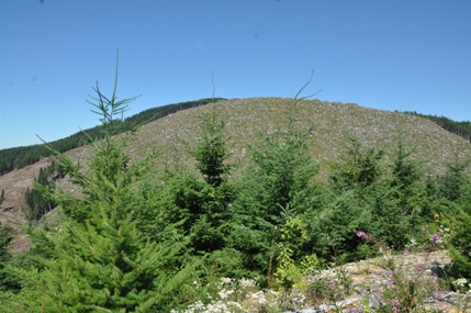
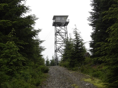
Lookout was on the forested ridge above the clearcut
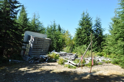
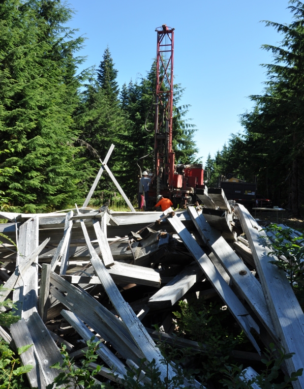
Out with the old lookout, here comes a communication tower
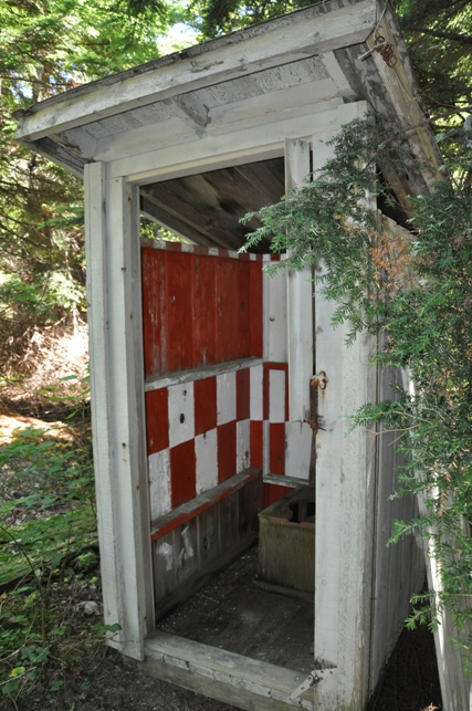
How colorful
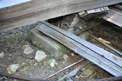
Footing
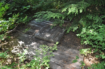
Garbage dump
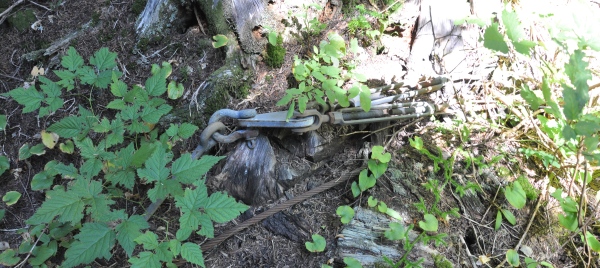
Anchors still attached
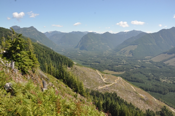
Looking up the North Fork Snoqualmie River Valley (taken in route to lookout)
Lookout site area just before lookout remnents removal
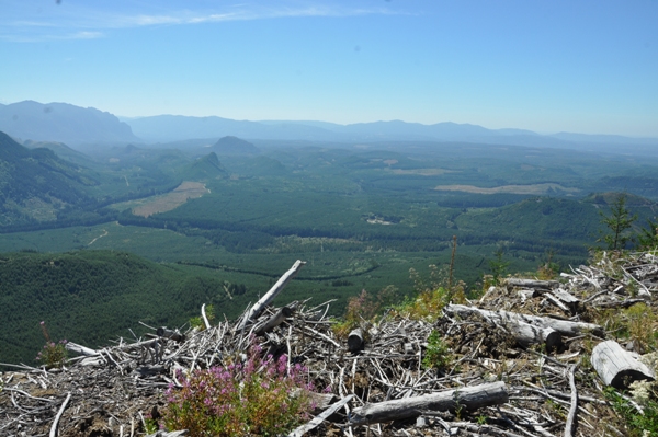
Snoqualmie Valley and Tree Farm (taken in route to lookout)
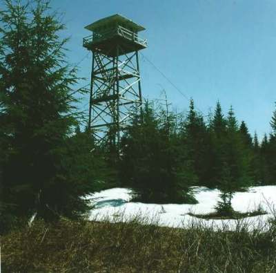
With the lookout lasting until 2008, the location was often used as a hike or bike ride for adventurous people exploring the North Fork Snoqualmie area. It was just far enough and remote to keep the vandals from reaching it.
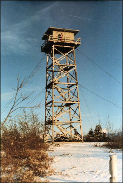
1982
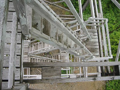
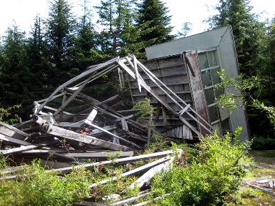
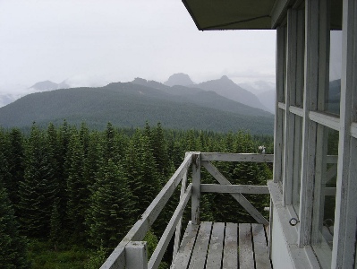
The deck rail in 2009 was still somwhat sticking together
View east to Mt. Phelps
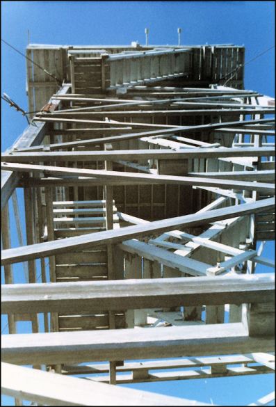
1982
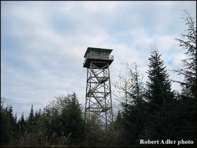
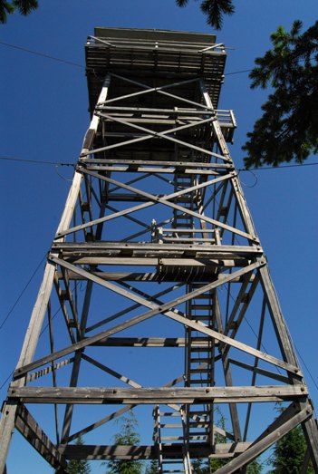
In 2006 a FFLA visit found the tower legs condemned due to serious wood rot issue within the vertical splice plates located about two-thirds of the way up the tower. In mid-July 2008, a Hancock Forestry security guard had viewed the lookout from a distance while the snow still blocked access. A few days later after the snow melted, he saw that it was no longer visible, and drove to the site to find it had collapsed.
Story from Linda Hill (Lookout in 1966)
It is possible a tower was located here before 1964. The 4th Biennial Report of the Washington Department of Natural Resources reported in 1964: A replacement lookout tower was erected on Cascade in King County. Key word being replacement.
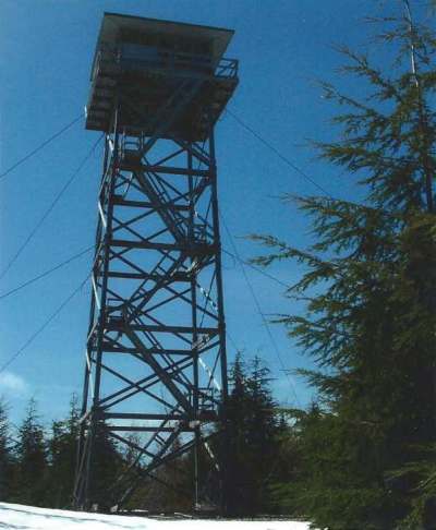
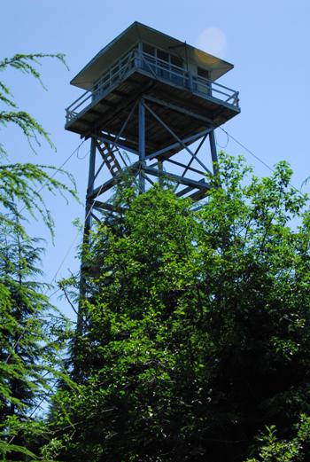
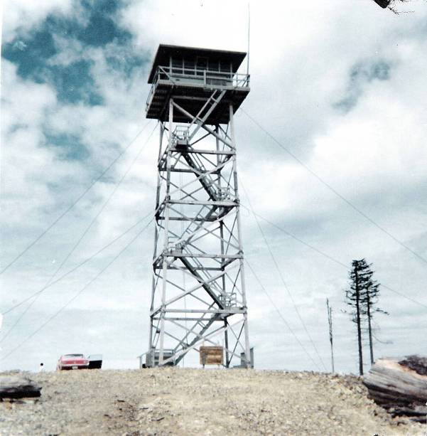
In 1964, the DNR built Cascade Lookout, a 70-foot tall tower with a 14 x 14 live-in cab, with a metal roof and surround catwalk.
In 1966, the lookout was Linda Hill. See story at page bottom.
In 1967, the lookout was Diana Justice.
In the 1970s, it was only used for emergencies.
By the 1980s, it had been abandoned.
In 2006, I was working for the DNR and received a call from the landowner timber company asking if the DNR or (anyone else) wanted the tower. Unfortunately, I was not knowledgeable about the FFLA at that time and let it slip away.
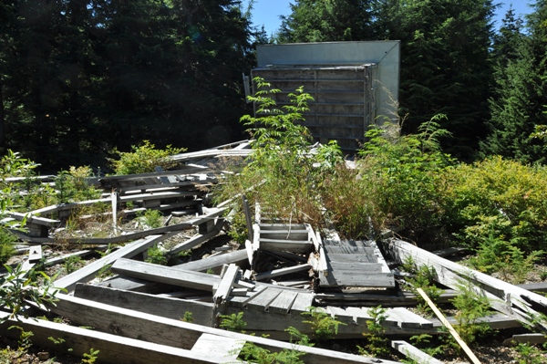
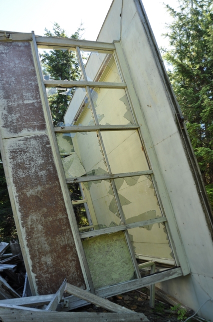
In 2008, the tower collapsed. The wood tower was broken either by wind, a heavy snow load or due to rot...or maybe all three. The guy wires were still attached to the broken tower.
During a visit in 2016, the area was being prepared for a communication tower. The plans called for the lookout remnants to be removed as the new communication tower would have nearly the exact footprint as the fire tower had. Not sure if the lookout parts were to be hauled away or shoved out of the way.
She grew up in Sultan and her dad worked for the DNR. She applied for the job in North Bend during her freshman year of college.

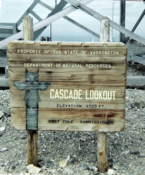
1967 Cascade Lookout Sign
2006
July 23, 2006
1967
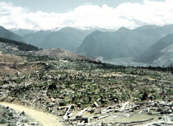
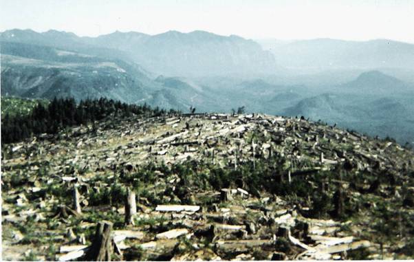
1967 view South
1967 view East


