Boisfort Peak - Baw Faw Peak Lookout Site
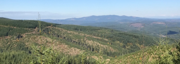
Located on the line between Lewis and Pacific Counties, Boistfort Peak has a long history with fire and communication sites. Boistfort is the highest summit in Southwest Washington. The range of vision from this point takes in all of western Lewis, Northwestern Cowlitz, Wahkiakum, Pacific, southeastern Grays Harbor, and southern Thurston counties. The peak has some notability as a high prominence peak making it on the list of Washington prominence at number 71 with 2,680 feet of prominence. The summit will likely not have views but there are many clearcuts on the way up that offer views.
Elevation: 3,120+ feet
9 miles one-way (my route)
Elevation Gain: 2,800 feet (my route)
Prominence: 2,680 feet
Access: Paved
Lookout History
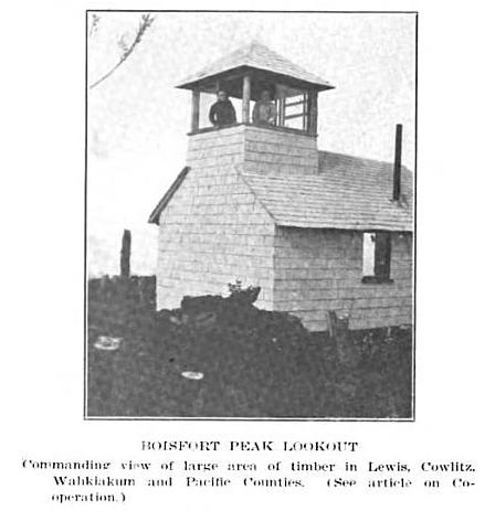
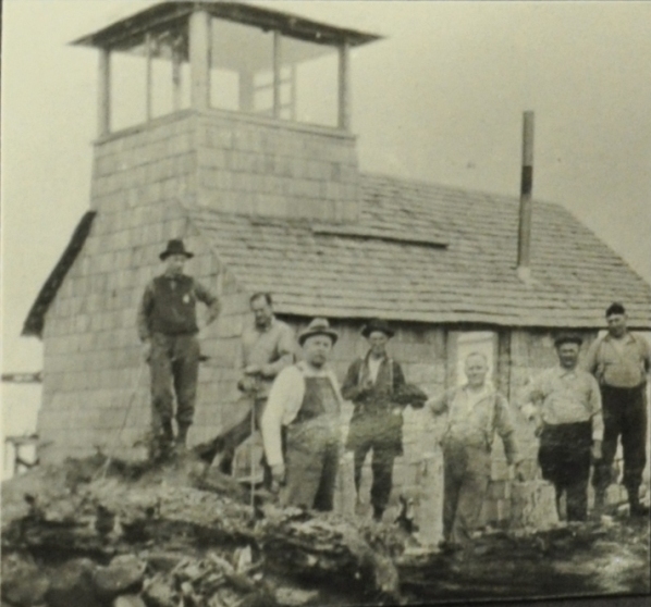
In 1919, a temporary lookout was built. The State and Forest Service contributed to this project. Five and one-half miles of telephone line was constructed connecting the lookout with the district warden's headquarters and City of Chehalis. A good trail was built with the help of the Long-Bell Lumber Company who also helped in clearing four or five acres of sapling timber in order to give the watchman an unobstructed view. The range of vision from this point takes in all of western Lewis, Northwestern Cowlitz, Wahkiakum, Pacific, southeastern Grays Harbor, and southern Thurston counties. So many fires were reported from this point that plans were quickly made into making it a permanent station and they had planned to construct a lookout house in 1920. This didnít happen but the original structure was likely improved. It was a 15x18 foot shake cabin with a 1/4 sized second floor observatory.
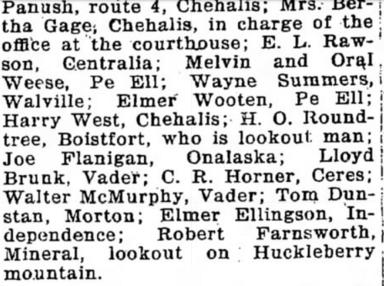
On May 15, 1925, the Chehalis Bee-Nugget reported, "Baw Faw peak, the highest peak and most strategic forest fire outlook in Southwest Washington, situated in the extreme southwestern corner of Lewis County, is to have a full fledged weather observation station, the only one outside of the cities in the state, according to George C. Joy, state supervisor of forests. Mr. Joy visited Baw Faw peak on Wednesday, meeting there with Geo. W. Alexander and O.A. Schick of the Seattle United States weather bureau, who will install the apparatus. With co-operation of the weather bureau in the scientific end of it, the station is being installed at the joint expense of the Long-Bell Lumber Company, which has great timber holdings around and south of the peak, and by the Washington Forest Fire Association. The instruments, costing about $1,000, will include a wind direction and velocity and sunshine recording instrument, a hydro-thermograph and a rain gauge. The instruments will be kept at the fire lookout station on the peak in charge of H.O. Roundtree, one of the most experienced woodsmen and fire lookouts in Southwestern Washington. Last season he located a fire clear over in the Cascades, 50 miles away, to the exact location. Daily weather reports will be made by telephone to the Seattle bureau. The station will be of especial value in registering the upper air currents, rather than mere surface indications." The station was one of 17 being established in Washington to collect data on pre-forest fire weather conditions. BawFaw also got a powerful radio receiving set. H.O. Roundtree of Klaber was also reported (in the newspapers) as the lookout in 1931, 1936 and 1937. Itís likely he served at least between 1925 to 1937.
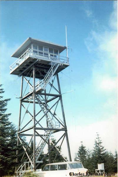
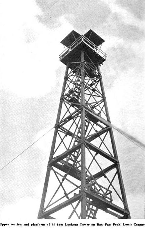
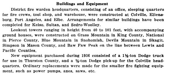
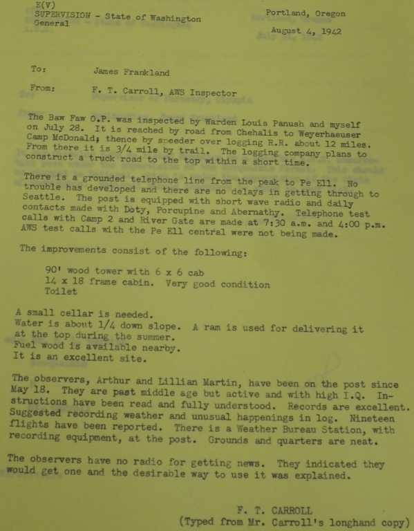
In 1936, an 83-foot treated timber tower with 7x7 foot cab was built. The original 1919 shake cabin was being used as the sleeping quarters. The ground cabin was reported in good condition in 1942 during AWS.
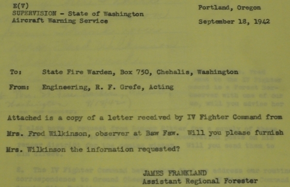
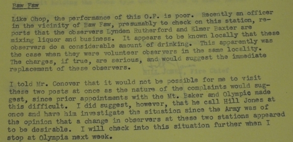
On March 4, 1942, the Aircraft Warning Service activated the site to search for enemy aircraft. The observers were Lynden Rutherford and Elmer Baxter who got busted drinking on the job. Replacement observers were Arthur and Lillian Martin, said to be past middle age, active and of high IQ. Finally, observers Mrs. Fred Wilkenson and T.F. Hardy. Access to the site was via a railroad speeder to within a quarter mile.
In 1958 the lookout is manned by Edgar Thomas. In 1961, Edgar Thomas of Seattle still maned the lookout.
In 1960, the 82 foot tower was shortened to 55 feet by a DNR carpentry crew and a live-in DNR cab was placed on top. This lookout was unusual for its time because it had running water. A spring was 100 feet or so below the lookout. A small dam was made at the spring and they put in a few mechanisms to get the water to pump up to the lookout.
The site was abandoned entirely in 1967.
Washington Lookouts
Access:



Below: Aircraft Warning Service Documents
May 13, 1932
1960s
1930s
From 1918 State Forester Report
From the 1927 Chehalis-bee Nugget
From the 1936 Forester Report
Boisfort 1919


State lookouts list provided to AWS
Access to Baw Faw during WWII
AWS observers
Change in the AWS observers
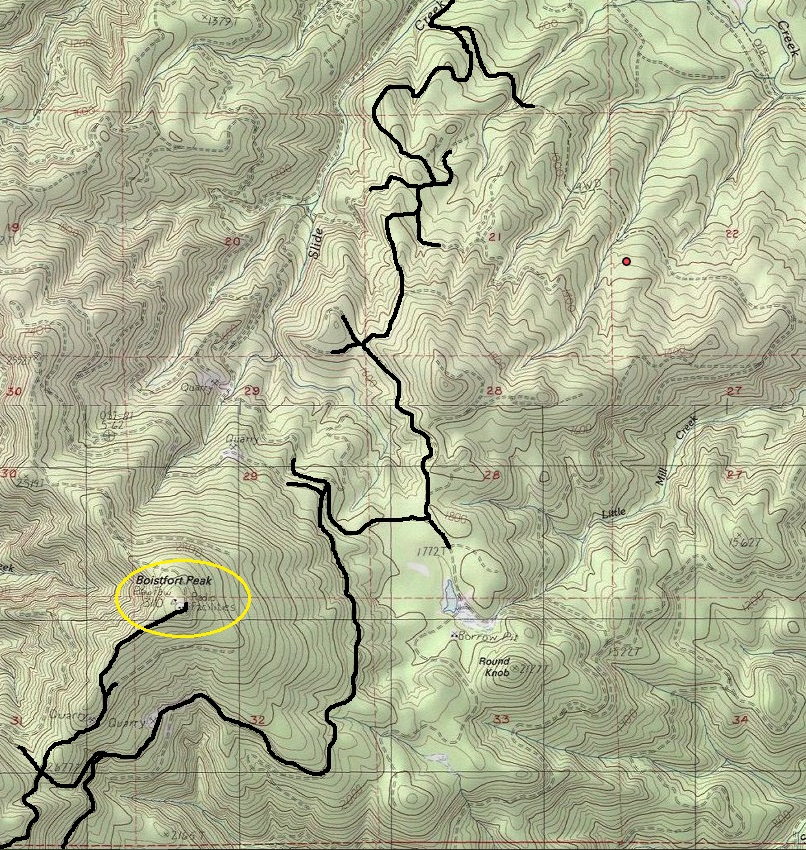
A Weyerhaeuser Pe Ell permit is required. Some have been able to drive to the top when the gate was open for logging but this is risky as the gate could be closed at any time. See my map for the route I took. Others have found different routes. The bike ride was long but was an enjoyable downhill all the way back.

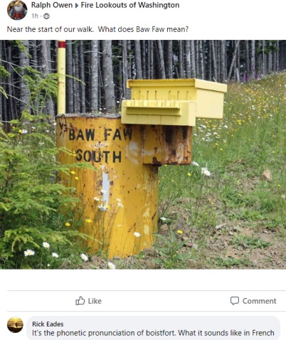
Gate on the last spur road from the south
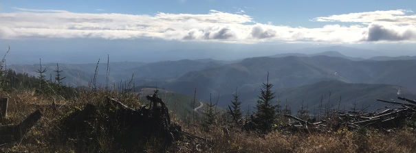
View on the way up to Walville Mountain in the distance
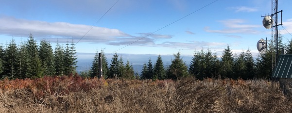
Clearing near the summit looking East
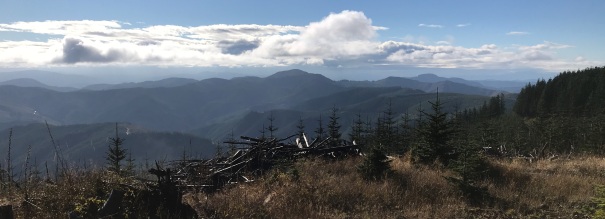
Clearing near the summit looking South
At the summit with new trees growing
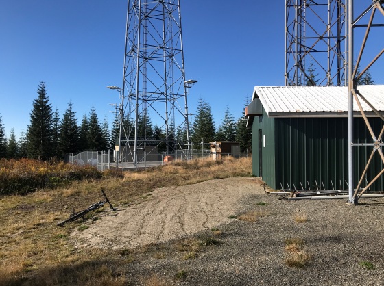
Some of the communication towers at the summit


