Big Quilcene Lookout Site
Fire Lookouts of Washington
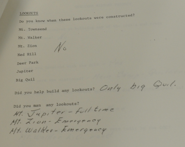
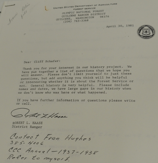
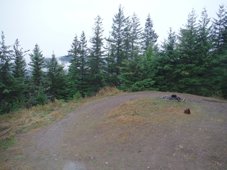
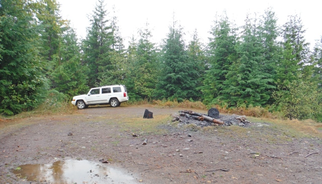
Just about the only information available about the Big Quilcene Lookout is from the Kresek Lookout Inventory, suggesting it was a Forest Service cabin during the 1930's. Go there today and it looks like the lookout could have been removed last year. The road at the summit is designed like so many other fire lookouts, it felt like I'd been there several times before. I can't image there wasn't a tower on the summit, yet I could not find any footings or guy anchors. I don't believe the road design was for a logging tower based on the design choice and there are no slash piles that would hint of this past. In 1981, a former lookout man, Cliff Schafer was asked by local rangers to write some history of his experiences. He claimed he helped build the Big Quilcene Lookout. His answers may have gone into something called the "CCC Annual 1937-1938", so maybe he did help built the 1930s cabin.
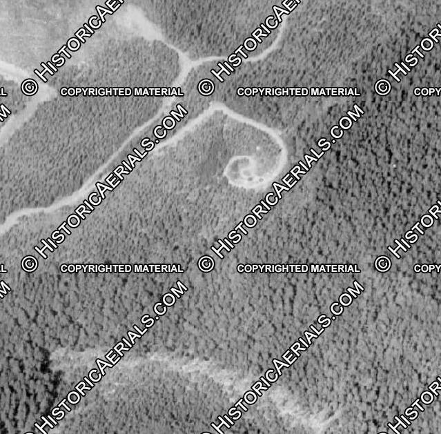
From what I can find, the first roads started showing on maps and aerial photos during the 70s. If a newer tower existed, it would have gone up around then, pretty late in the game. Even trail access to a 1930s cabin is not found on any maps.
There is also a garbage or outhouse pit in the woods nearby. Had I known this was such a mystery, I would have dug around a bit inside and looked for batteries, etc.
Elevation: 3,220 feet
Distance: Drive-up
Elevation Gain: 0
Access: Good gravel
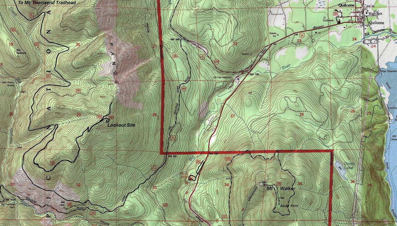
From Quilcene, drive U.S. 101 south 1.5 miles, then turn right on Penny Creek Road. At around 1.5 miles is a fork, go left. (Road becomes gravel for a bit) This is Big Quilcene River Road number 27. Follow for a few miles turning right at another junction. Use map provided. The final 2.4 miles is a good gravel road climbing up to the lookout site.
Access:
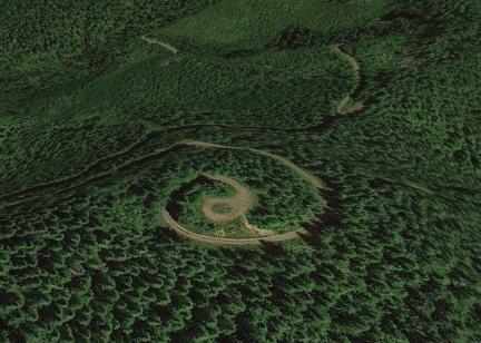
Newest Google Earth view of the summit
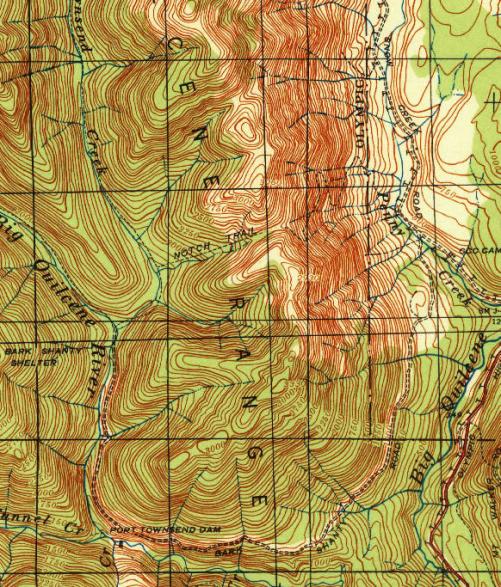
1940 map of the area
Letter to Cliff Schafer
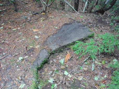
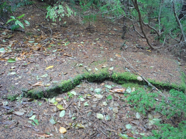
Concrete slab on the summit near the likely ham antenna tower
Concrete slab on the summit with some duff removed
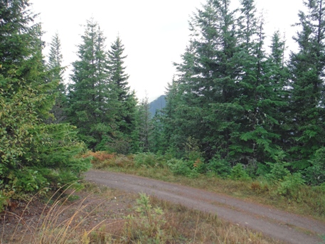
Looking north from summit area
Looking west from the top of my vehicle
Summit area
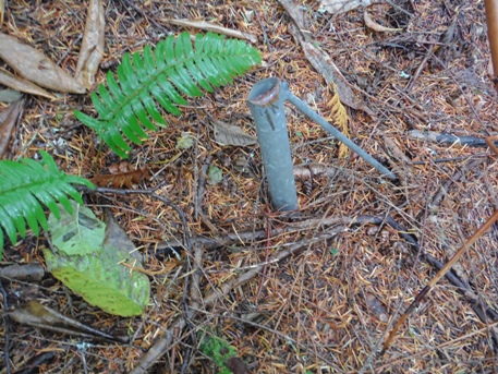
Looks to me like what’s left of a Rohn-25 antenna tower, probably erected sometime in the 1970s when ham (amateur) radio clubs were putting up the first repeater sites; or perhaps a logging company for the same. Typically, the towers were 1”EMT conduit type pipe with 3/8” round galvanized rod for the Z braces, planted in about a yard of concrete, with a concrete slab for the radio shack. (Ray Kresek)
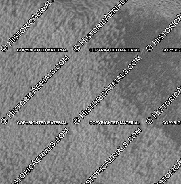
1951 aerial view not showing anything at the summit and forested
1990 aerial view showing the summit and two unknown dark objects near summit
Looking NE on the summit
Road to this summit first appears on the 1968 Olympic NF map. It doesn't appear on the 1962 USGS map or any earlier maps, so apparently was built in the mid-'60s. I've found no map showing a trail or fire lookout existed there. (Note a USArmy/USGS/USFS triangulation station QUILCENE 3726) is located on the eastern promontory of Green Mountain, 3 miles due north along the Quilcene Range. No road, trail or lookout structure there. But I read an account by a USFS retiree recalling being sent up there repeatedly on foot after lightning storms to look for smokes, so it must have a good view. And there was a large lightning-caused fire on that ridge, in the 60s. (RodF)
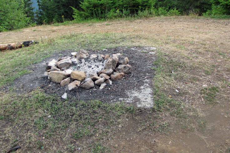
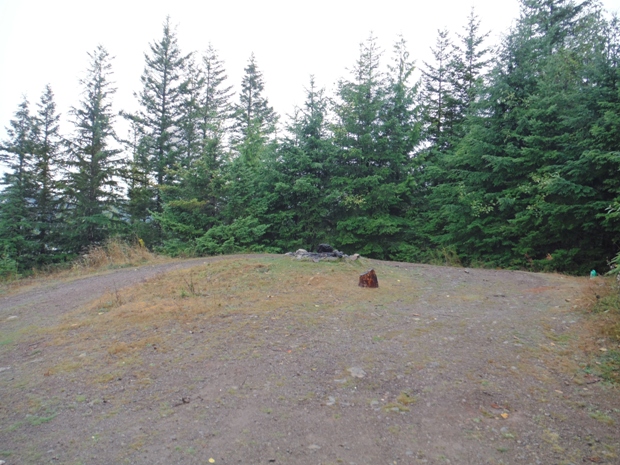
Concrete slab on the summit in the center of the turn around. This image was taken by someone several years prior to my visit.
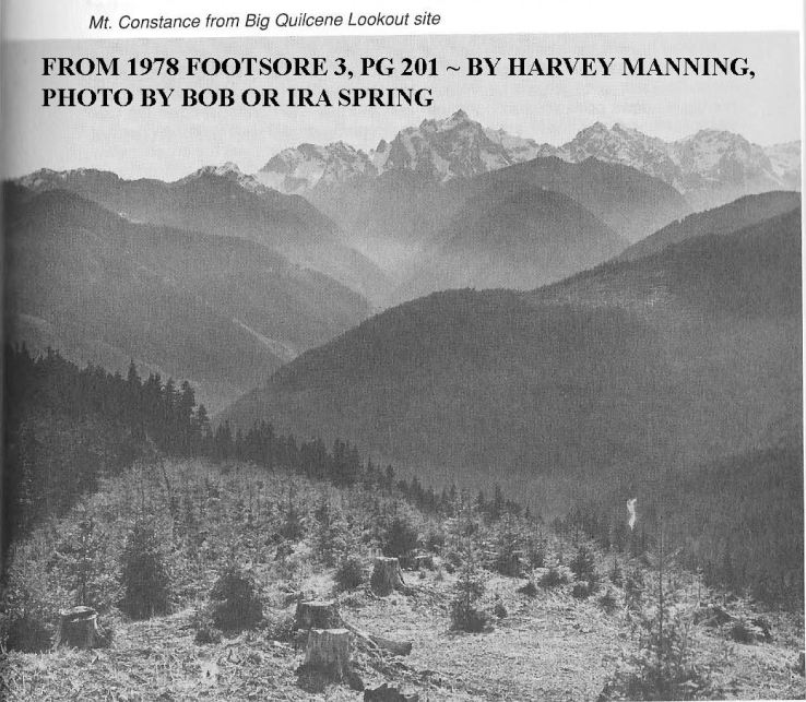
This view matches this location. So even the old Footsore books were calling it Big Quilcene Lookout Site.


