Arch Rock - Considered Site or Patrol Point
Fire Lookouts of Washington
Elevation: 5,903 feet
Distance: 5.5 miles
Elevation Gain: 1,300ish feet
Access: Any car if taken slow near end
Camera box
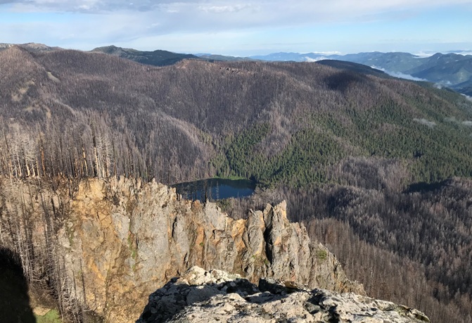
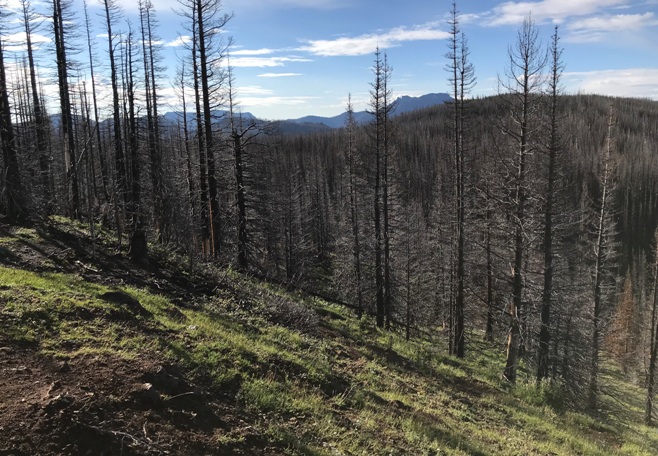
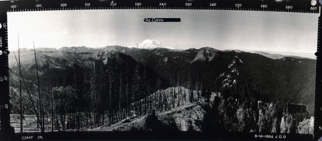
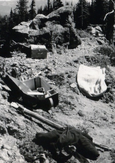
Located in the Norse Peak Wilderness, this rocky point is not on many peopleís radar. The knob is about a half mile off the PCT in an area now burned over after the Norse Peak fire of 2017. Arch Rock was considered for a fire lookout in the 1930s or it was possibly just being considered as a patrol point. Based on the 1934 photos, the last fire was in the late 1920ís burning the same area.
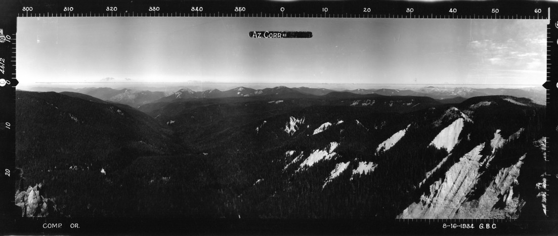
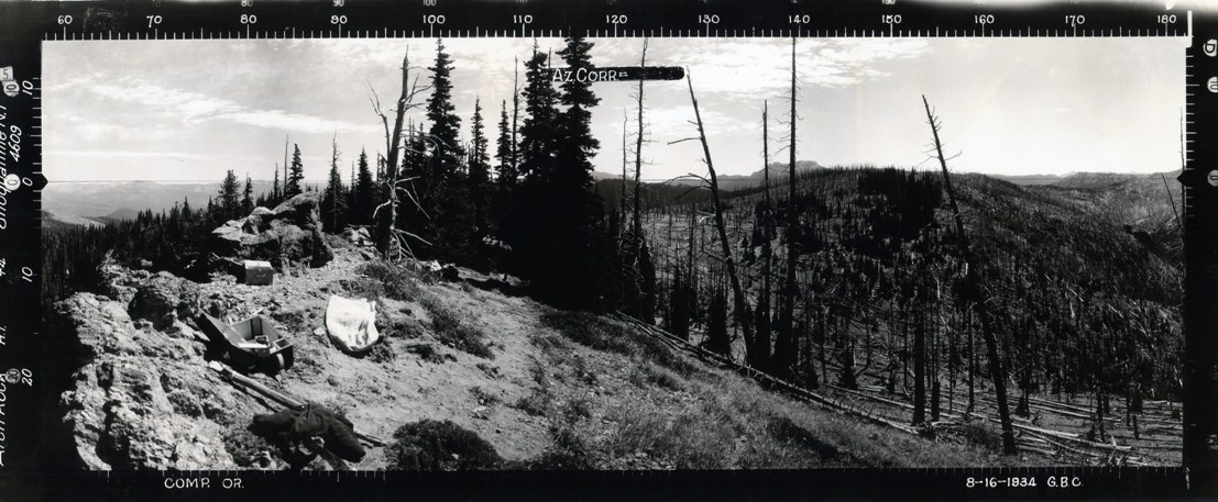
Looking North - August 16, 1934
Looking Southeast - August 16, 1934
Looking Southwest - August 16, 1934
Access:
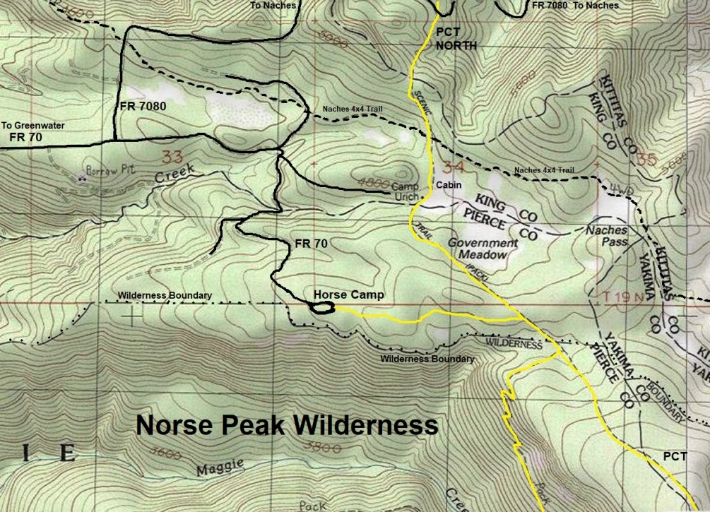
Take Highway 410 out of Enumclaw, past Greenwater a few miles to FS Road 70. Turn left onto FS 70 and follow it for 17 miles to the trailhead at Government Meadows Horse Camp. The first 10 miles are paved with the remaining miles gravel. The last few miles get bumpy but if horse trailers make it, so can you.
Route:
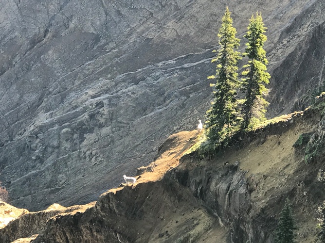
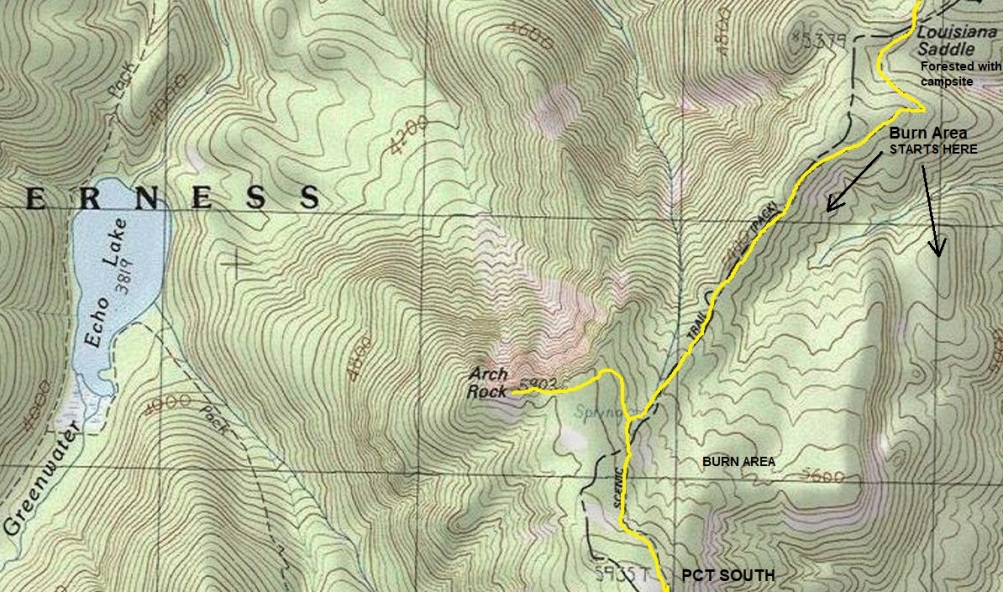
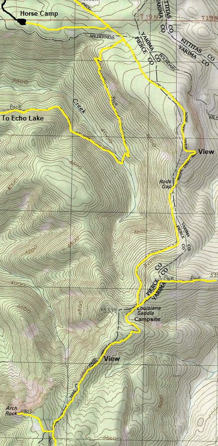
From the Horse Camp, follow the trail 3/4 mile to the Pacific Crest Trail. Turn right and follow to Rods Gap and then Louisiana Saddle. There is one campsite at Louisiana and a possible water source (early season) just before reaching the saddle. A short distance after Louisiana, you enter the burn area from the Norse Peak Fire. In 2019, the tree bark was just beginning to peal off and most of the forest floor was charcoal black. But in a few years, the trees will be bark-less, bleached and the forest floor will be full of green stuff. A bit after hitting Arch Rock Spring, the only reliable source of water in late summer, there is a small trail to the right that goes up to Arch Rock. Without the trail, it was an easy off-trail walk under a half mile up to the highest point. The north side is cliffs, eroding and sketchy but the south side is easy terrain. There was a dozen or so mountain goats near the summit when I arrived.
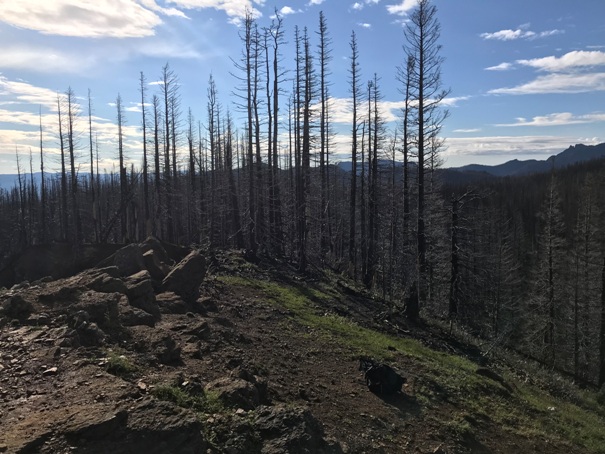
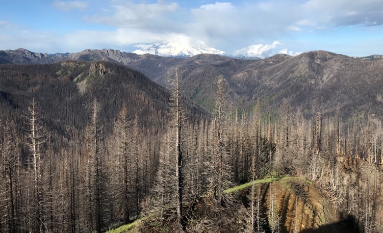
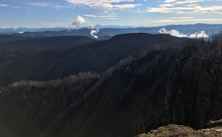
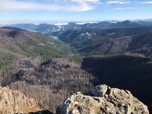
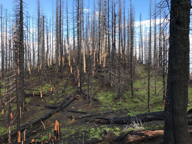
Looking Southeast - 2019
Looking Southwest - 2019
Looking North - 2019
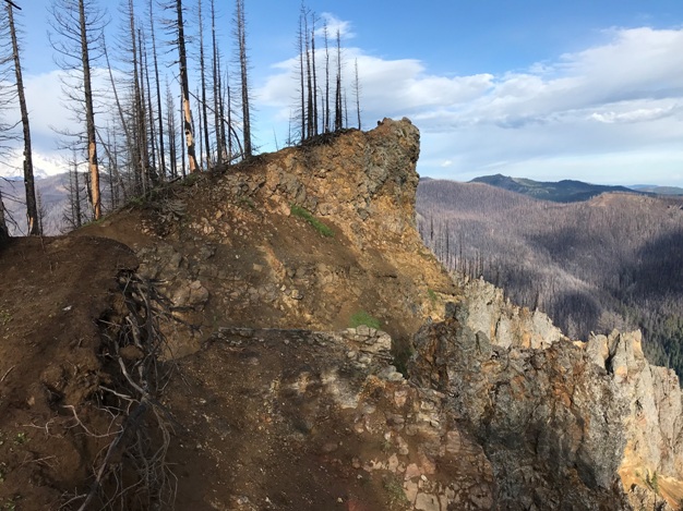
Looking North - 2019
Arch Rock
Final few feet up Arch Rock
Horse Camp Trailhead for Arch Rock access
Map showing PCT between Arch Rock and Louisiana Saddle. Burn area starts just south of Louisiana Saddle.
Goats


