Alpine Lookout
WillhiteWeb.com
Distance: 5 miles one-way
Summit Elevation: 6,235 feet
Elevation Gain: 3,000 feet RT
Access: Good Gravel Road
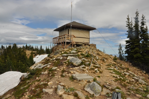
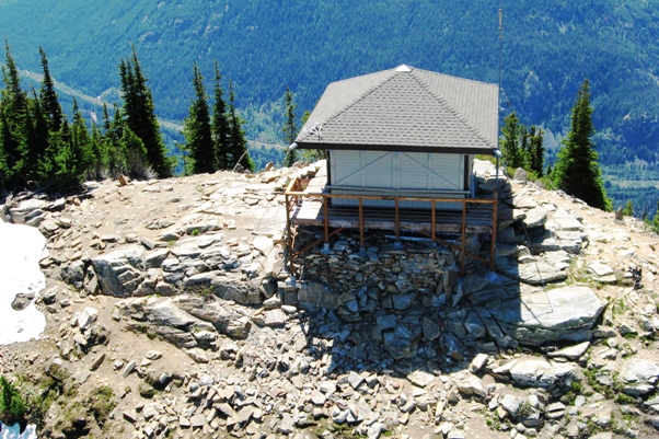
This high point on Nason Ridge with 1,150 feet of prominence has a lookout building called Alpine Lookout. Over time, the mountain is discussed more in terms of the name of the lookout than Nason Ridge, probably because Nason Ridge continues west with higher points like Mount Mastiff, Mount Howard and Rock Mountain. To add more names, the trail is called the Round Mountain Trail, named after a small summit the trail traverses while in route to the lookout site.
From Stevens Pass, drive around 17 miles east to the Nason Creek Rest Area. Just a bit further east is an unmarked dirt road. Turn left (this is FR 6910), called Butcher Creek Road in places as it passes several private driveways. After 4.4 miles along the Forest Road, there is a "Y" intersection. Go right, and in 0.1 miles is the trailhead & parking area.
Access:
The trail starts in heavy forest and encounters a small spring within a few minutes. This may be the only water depending on season. At 1.6 miles is a junction with the Nason Ridge Trail. Turn left and follow the Nason Ridge Trail for 3.3 miles to a final junction with the Alpine Lookout Trail. Hike up final 0.3 miles to the summit at 6,237 feet. Note that the majority of uphill is during the first half of the hike.
Route:
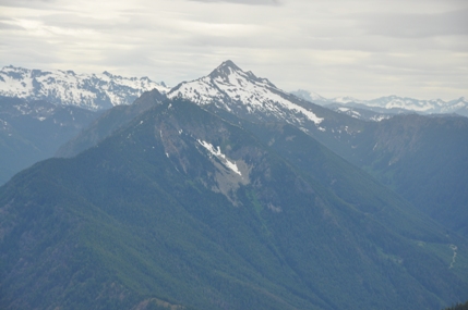
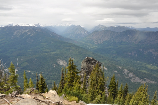
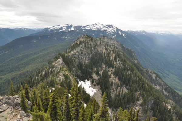
Jim Hill Mountain
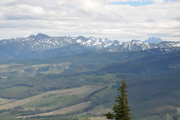
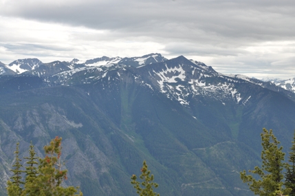
Chiwaukum Mountains
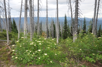
Burn area
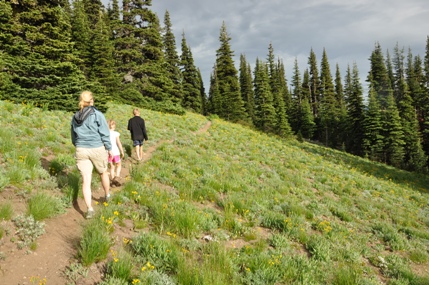
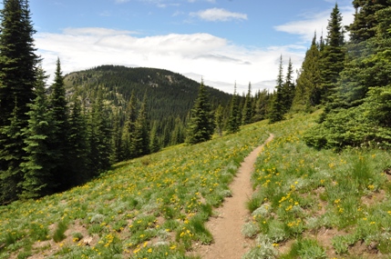
Round Mountain Trail
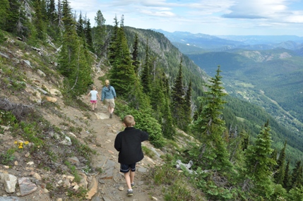
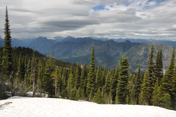
Views from the Nason Ridge Trail
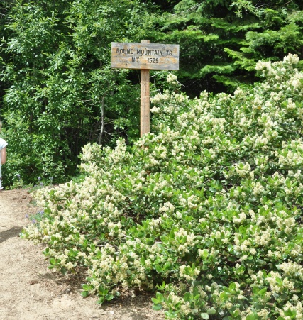
Round Mountain Trailhead
Round Mountain
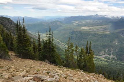
View toward Leavenworth
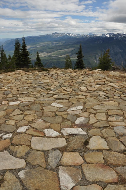
A very nice Heli-Pad on the summit
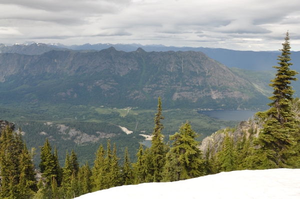
Dirtyface Peak and Lake Wenatchee
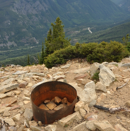
White River Valley
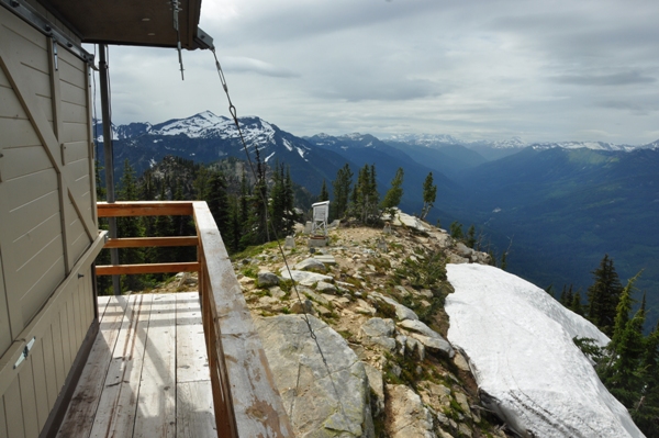
Looking west along Nason Ridge from the lookout
Chiwaukum Mountains
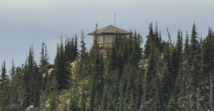
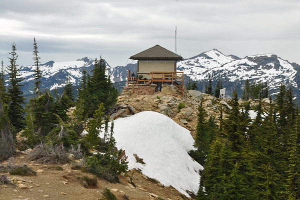
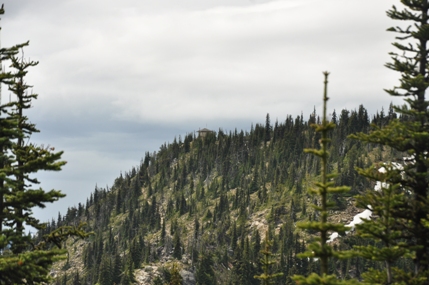
First view of lookout
In 1920, this was a camp.
In 1924, the lookout was Jim Murphy, placed by Forest Supervisor A.H. Sylvester
In 1934 panoramic photos were taken at 3 feet above ground.
In 1935, the Lake Wenatchee district got 4 short wave radio sets to use between remote points without telephone connection. Alpine got one of the sets. (Others went to Kodak Peak, a trail crew, and the fourth retained at the main station).
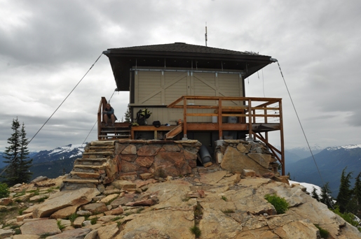
In 1936, an L-4 cab was built.
In 1975, an R-6 flat cab was built.
In 2006, the flat top leaky roof was replaced. The lookout was not staffed this year.
In 2008, the catwalk on North side was added.
In 2011 and 2012 the lookout was not staffed.
In 2013 and beyond the lookout is usually staffed, mostly by Gary Knell, who started as a relief lookout at Alpine in 2005.
Lookout History:

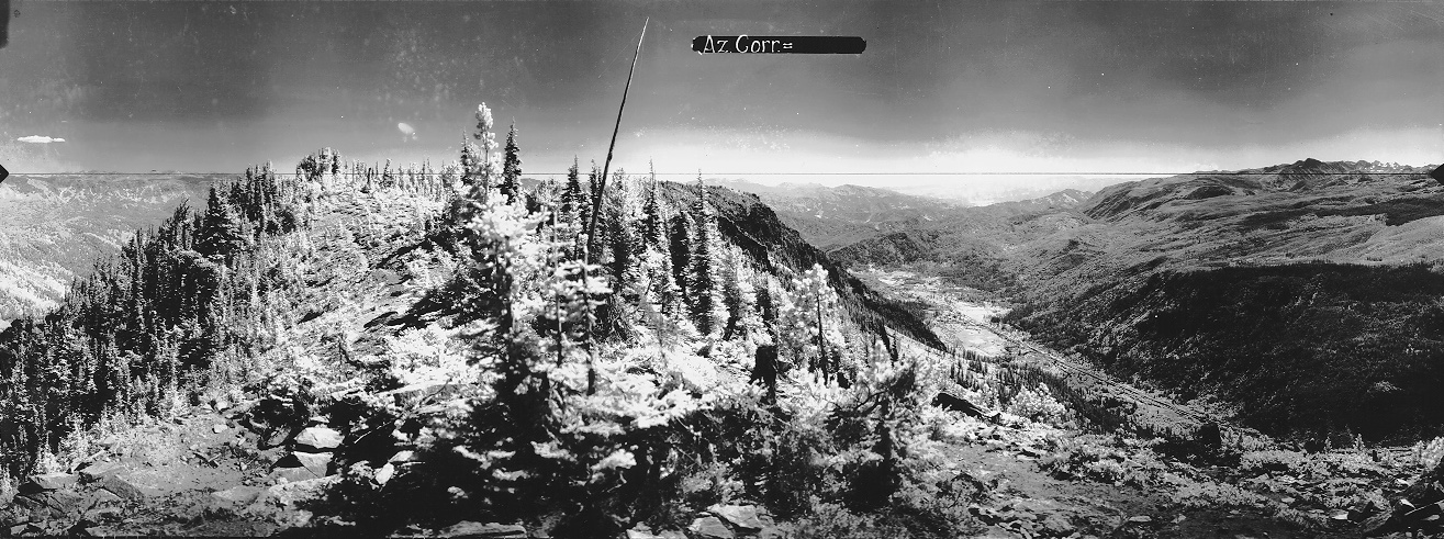
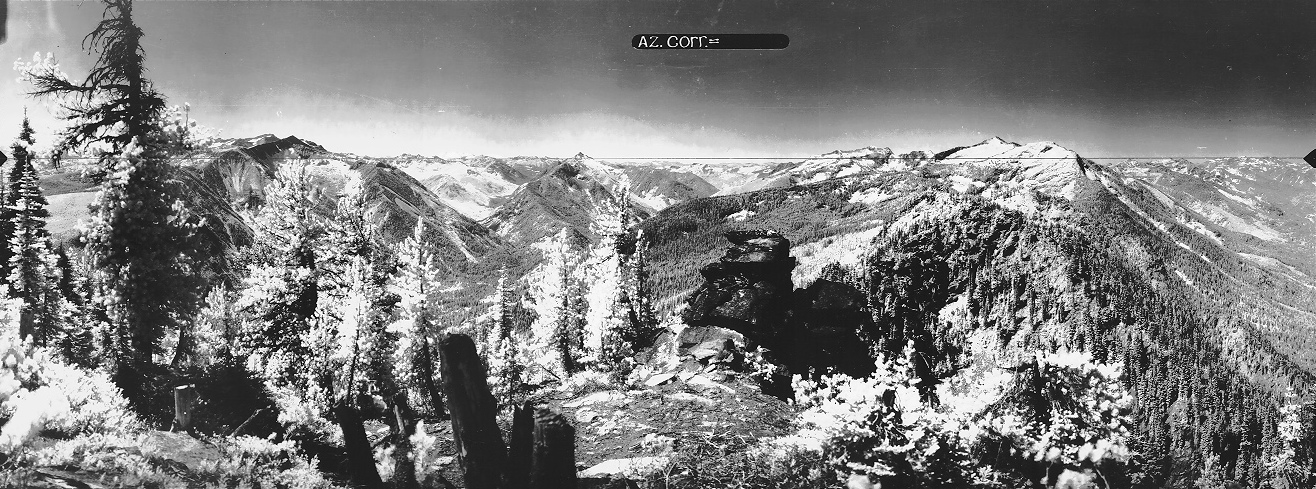
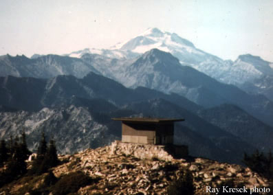
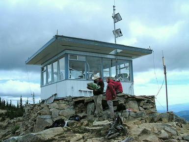
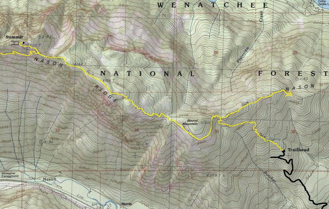
Photo taken from helicopter flight in start of the 2009 season. They used to fly us in with our gear for a one-time seasonal supply, mostly water cubies. The trend last few seasons is away from chopper support and back to using pack mules like the old days. Gary Knell
Looking North 1934
Looking Southeast 1934
Looking Southwest 1934
J. Brew 2005
1979
