Keystone Point
Wenatchee Washington Hiking Trails
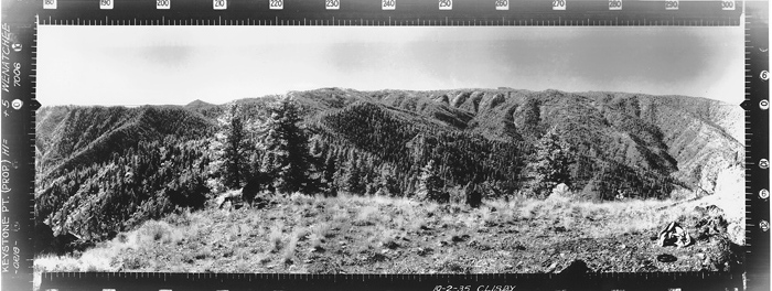
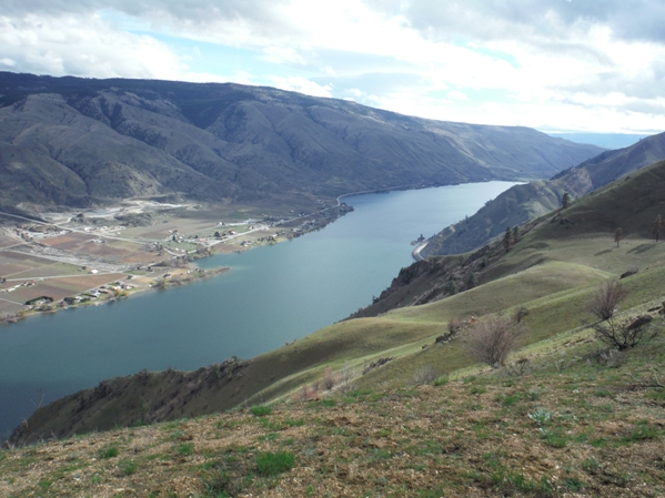
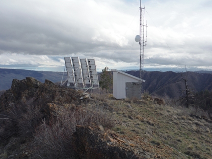
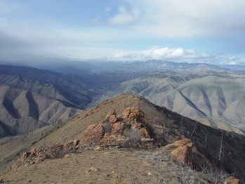
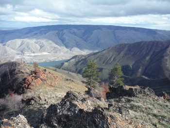
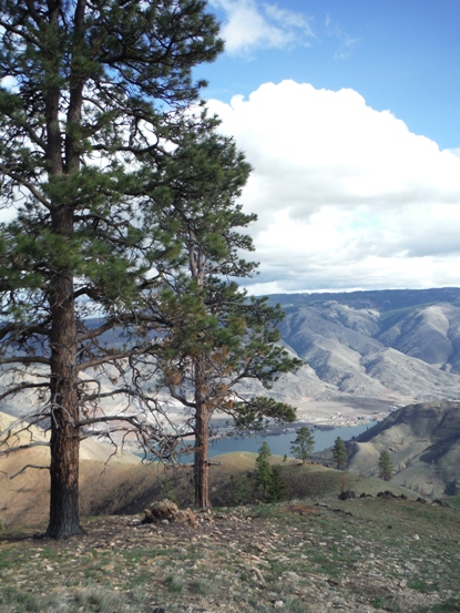
This trail has a lot to offer, the views over the Columbia River are terrific, the open grass slopes are like mountain meadows and the finish actually feels like a high summit. In reality, the ridge drops just a bit and then continues to higher points. Do this hike in April or early May and you'll find a flower garden. Do much later than that, and you will find excessive heat and plenty of snakes. If you don't mind a bit of snow, the parking lot is usually cleared all winter. Located on Keystone Point is some communication equipment that distracts from the achievement but it might provide you a windbreak or shade. The summit was once used as a fire lookout, reported as being a crows nest in 1934, abandoned not long after. The summit was photographed in 1935 but no crows nest, and no tree high enough in the summit area to warrant putting one up. I believe its safe to say there wasn't one, just maybe a camp and firefinder.
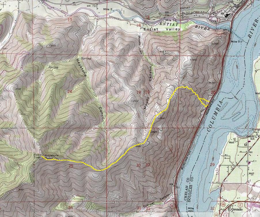
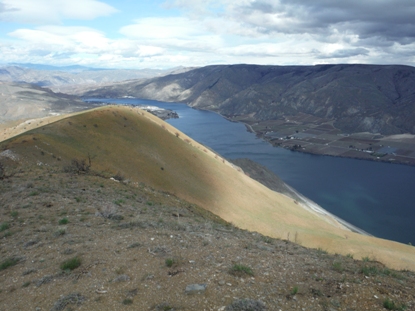
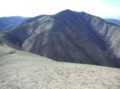
Two trails leave the parking area, one at the center and one heading to the south up to a ridge (the best choice). The trail climbs very steep up to the ridge top, around 1,000 feet in a half mile. Once on the ridge, the trail might disappear in places. Just stay on the ridge and roam upward. One could be half tempted to camp up there, looking down on the lights of homes along the river. One of the highest points on the ridge to Keystone is point 2982, which is a distinctive point when viewed from the highways below. Unfortunately, a drop of 300 feet is required to do the final 1,000 foot climb up Keystone. (There is a trail of sorts that traverses the steep hillside on the north but you probably won't see it on your ascent, just the decent.) Near the summit it gets a bit rocky but you can bypass on eithor side of the ridge. Also note that Keystone Point is just a few minutes hike from a Forest Service Road that comes from Mills Canyon and the Entiat River Road, but you miss the great views on the ridges right over the Columbia River.
Route
Elevation: 3,850 feet
Distance: 4 miles
Elevation Gain: 3,500 feet gain, 400 on return
Road Access: Paved
Keystone Point - Looking Southwest - 1935
Keystone Point - Looking Southeast - 1935
Keystone Point - Looking North - 1935
Looking Southwest - 2015
Looking Southeast - 2015
Looking North - 2015
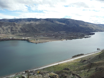
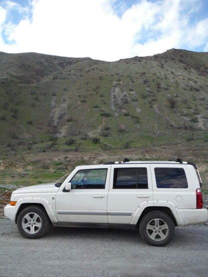
A large pullout along Highway 97A is about 1 mile south of the Entiat River bridge. Elevation 760
Access


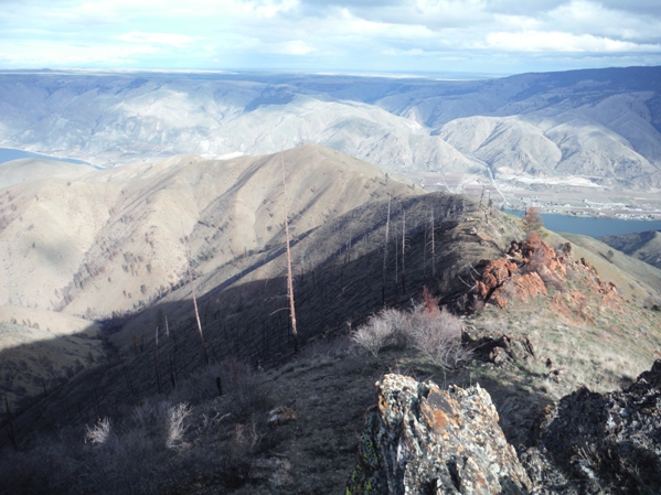
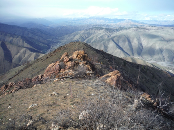
Trail goes right up the hillside to the ridge top
Dick Mesa
Keystone Point
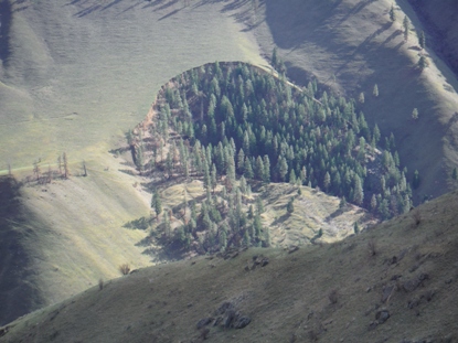
Land slumps, trees grow inside, fire misses trees
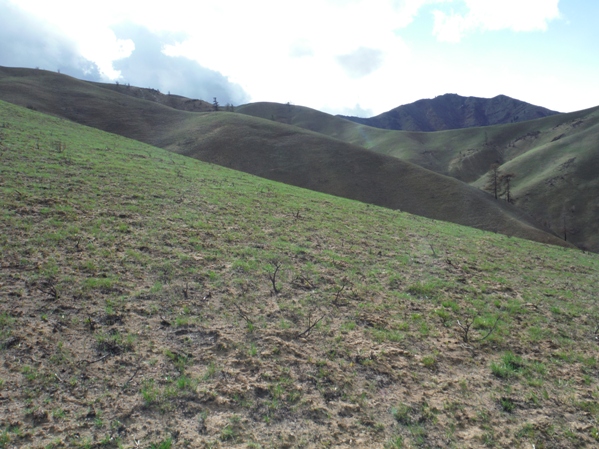
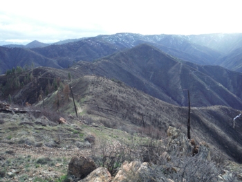
Easy walking after wildfire burned it all up
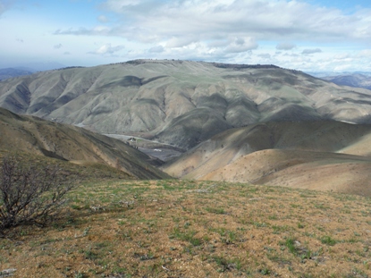
From the summit looking East
Survivers
Communication equipment on the summit
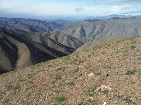
Looking North from the summit


