Wallace and Jay Lakes
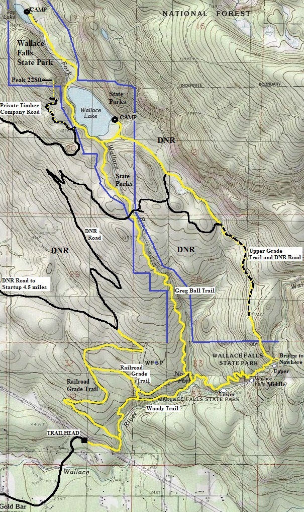
A very small number of the visitors to Wallace Falls State Park venture further than the falls. But the lakes are definitely worth visiting, at least in winter when everything higher in the Cascades is deep in snow. A bonus is that you can do a loop for a good amount of this trip. Once past the falls, follow the trail up to the upper grade old railroad trail. A right turn here will go a short distance to a big bridge over the Wallace River. After seeing the bridge, go back to the intersection and go left on the old railroad grade. Follow this which soon becomes a DNR logging road. The road and trail share the route. Follow signs until the route goes back into the State Park just before Wallace Lake. Walk the lakeshore trail a half mile and continue an additional mile to Jay Lake. The return is the same back to Wallace Lake but then taking the Greg Ball Trail back down, followed by the lower Railroad Grade Trail. This is around a 15 mile loop with lots to see. The state park is a day-use only park so get back to the trailhead before dark when the gate closes. There are many additional wanderings into logging territory if you have extra time to explore.
WillhiteWeb.com
Hiking Distance: 4 miles to Wallace Lake via Greg Ball Trail
Hiking Distance: 5 miles to Wallace Lake via Woody Trail
Elevation Gain: 1,300 feet to upper falls
Access: Paved Road

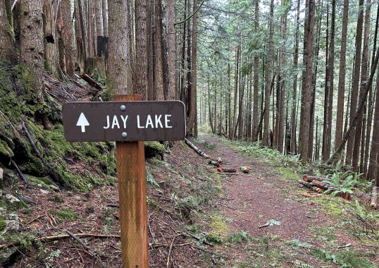
Sign at Wallace Lake
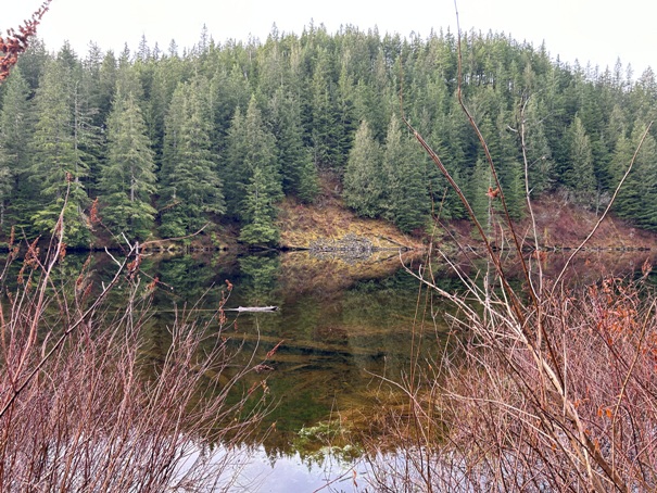
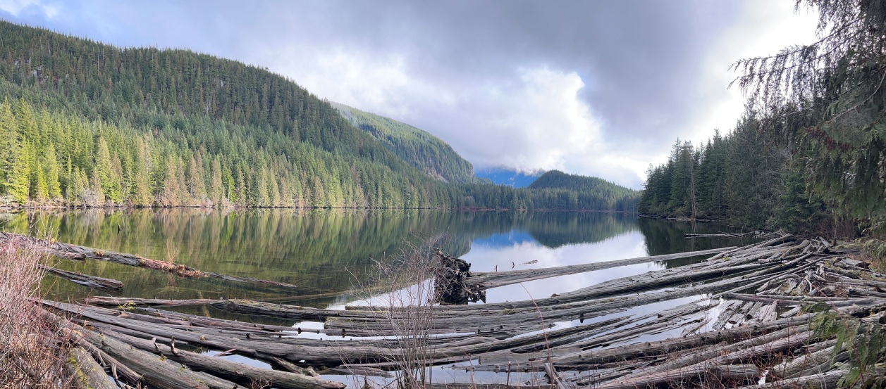
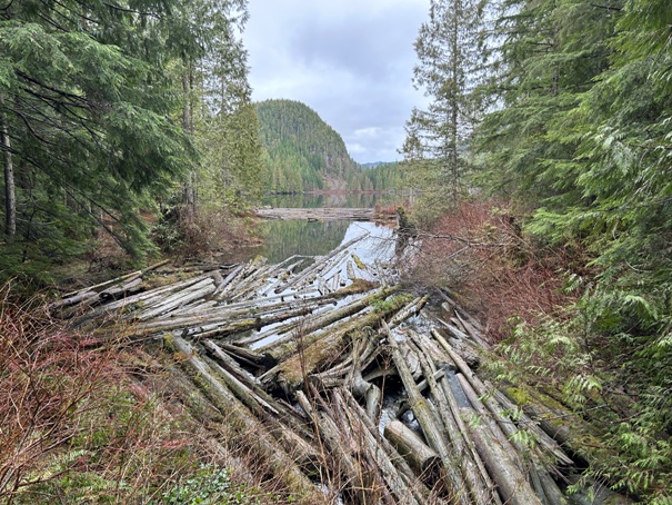
At the outlet of Wallace Lake
At the outlet of Wallace Lake
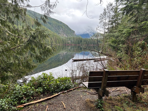
Bench along the lake
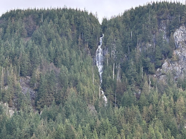
Stickney Ridge Falls
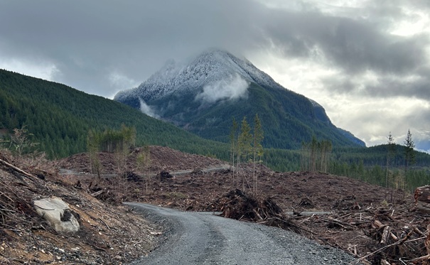
Nina Peak (from a new DNR spur road)
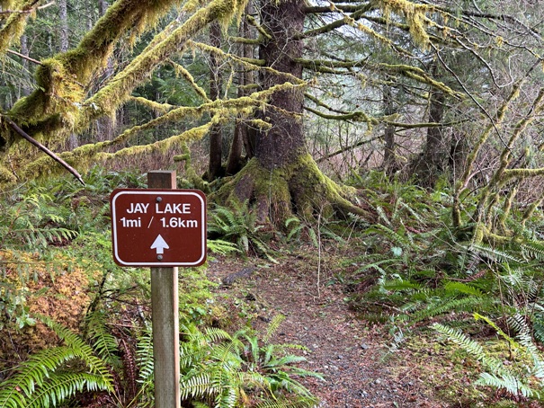
From the far side of Wallace Lake it is one easy mile to Jay Lake
Jay Lake
Campsite at Jay Lake
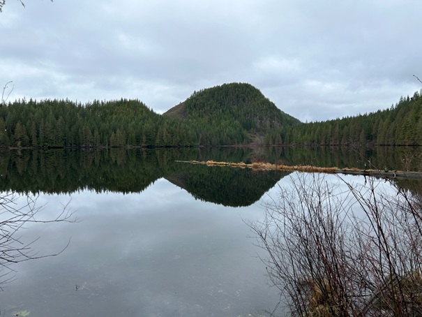
Wallace Lake from the campsite and Peak 2,280 in the distance
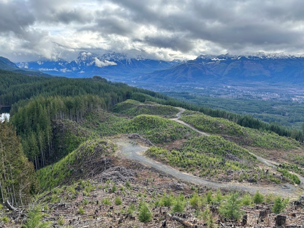
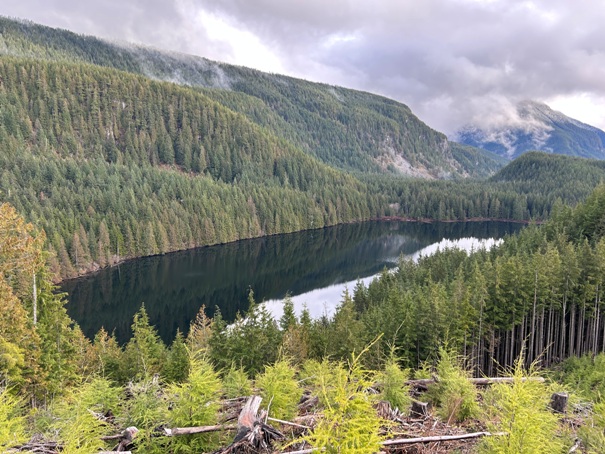
Wallace Lake from a logging cut up on Peak 2280 just outside the state park line
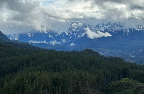
Mount Index in the distance
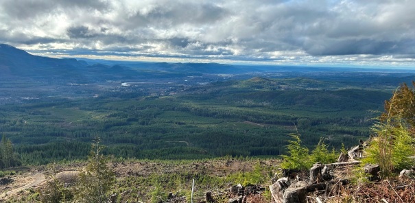
Skykomish River Valley from Peak 2280 (taken in 2023) (views should last 5-8 years or so)
Timber cut on property line, you can see Wallace Lake on the far left. From Peak 2280.
Taking the Railroad Grade Trail down
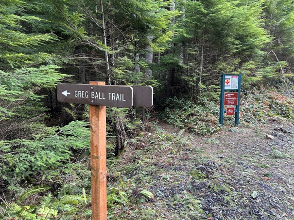
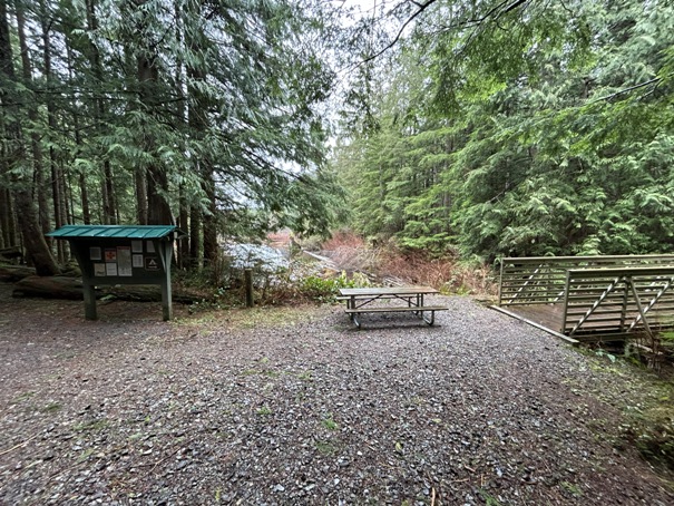
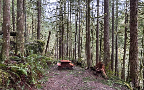
Picnic area at the start of the Greg Ball Trail
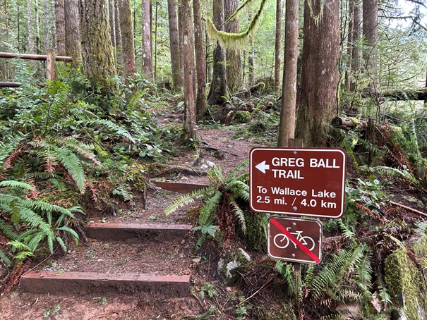
The start of the Greg Ball Trail at the top of the Railroad Grade Trail
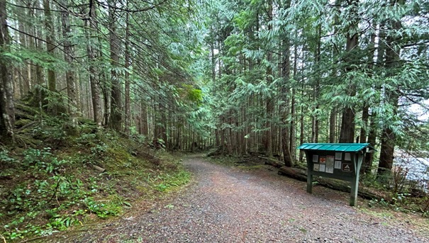
Leaving the DNR logging road and starting down the Greg Ball Trail
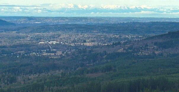
Seattle in the distance
Olympic Mountains in the distance
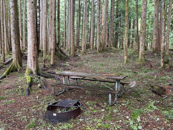
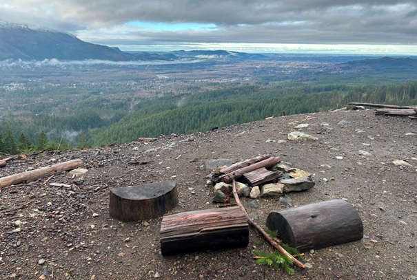
A nice place for a fire
A new logging cut (2023) in route to Wallace Lake
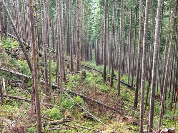
DNR section has been commercial thinned, cable line cuts every few hundred feet
Ten-Four Mountain across the valley
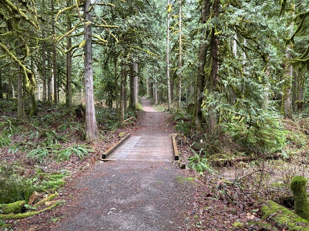
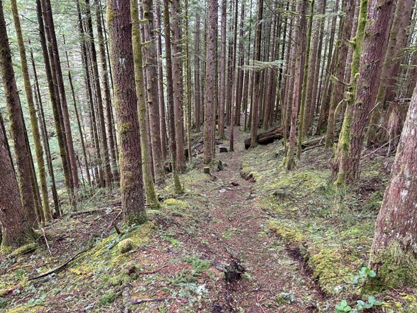
Going down the Greg Ball Trail
Blue lines show park boundary in the north section of the park
