Lake Lenore Cave Shelters
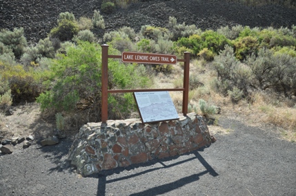
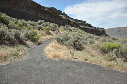
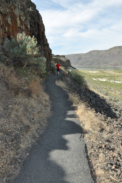
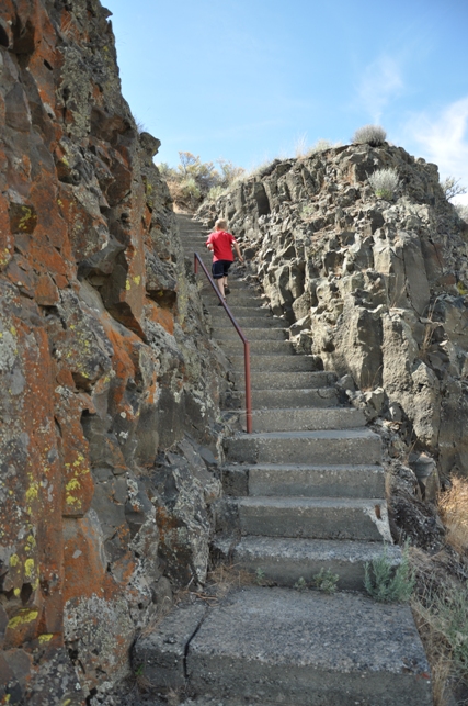
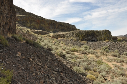
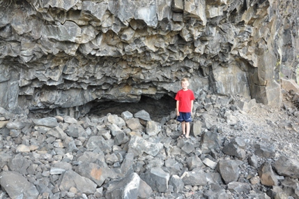
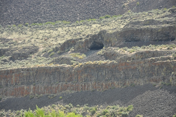
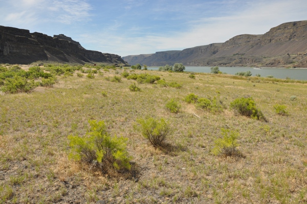
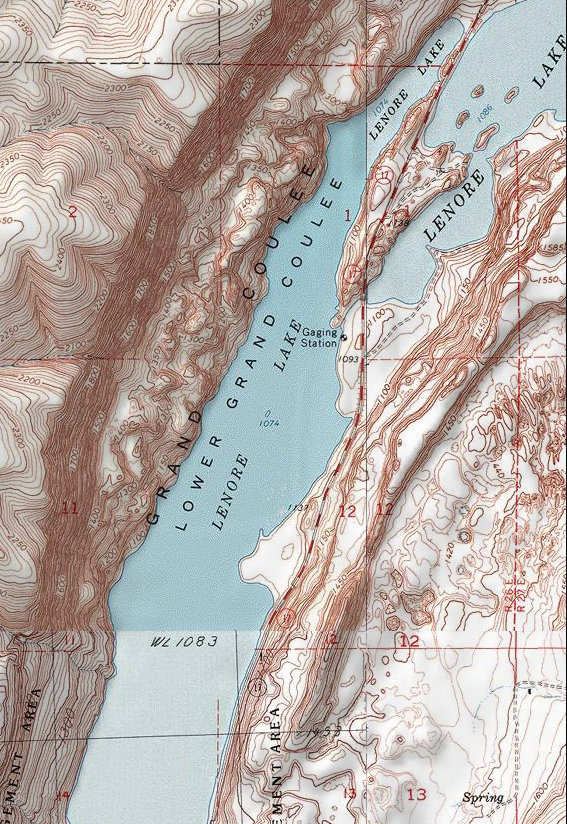
The Lake Lenore Caves were formed when melt water from the Ice Age floods plucked basalt from the walls of the coulees. The caves were used as temporary shelters and storage areas by Native Americans who were hunting & gathering food in the coulee. A well signed gravel road leads off SR 17 to the trailhead at the north end of Lake Lenore. The trail is a surfaced path with one section of stairs at the steepest part. Turn right after the stairs and keep going until you see the caves. Distance: � mile
WillhiteWeb.com - Grand Coulee Sights
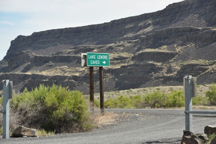
Lake Lenore Caves Sign from Highway 17
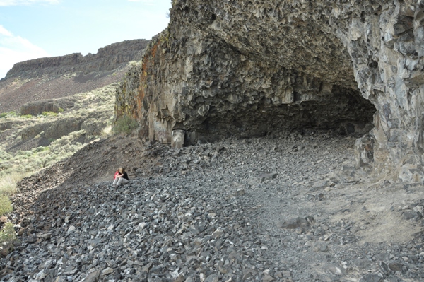
At the end of the trail but a few more caves up there somewhere
Collapsed cave
Banks Lake access point across the highway from the road to Lenore Caves
Lenore Cave Shelters from Highway 17
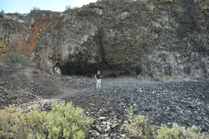
Lenore Caves
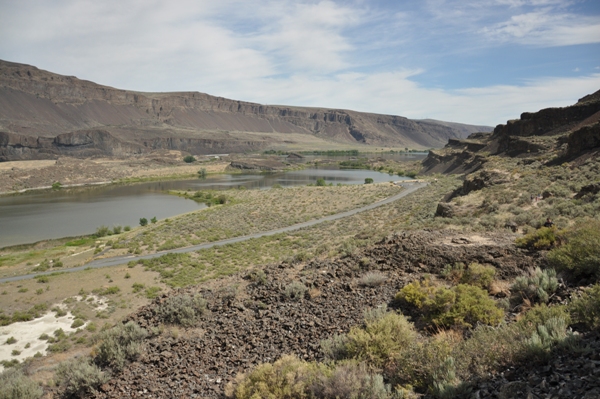
View up Grand Coulee from the trail
Stairs on the trail getting up through the basalt columns
Lenore Caves
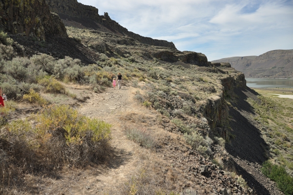
Trail to the caves
Trail to the caves
Trail to the caves
Lake Lenore Caves Trailhead


