Dry Falls Visitors Center
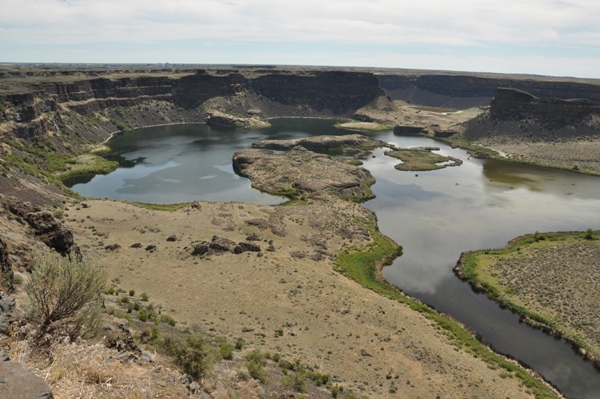
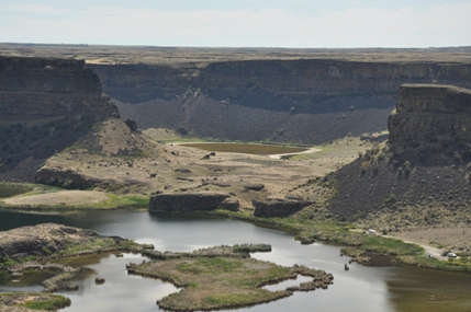
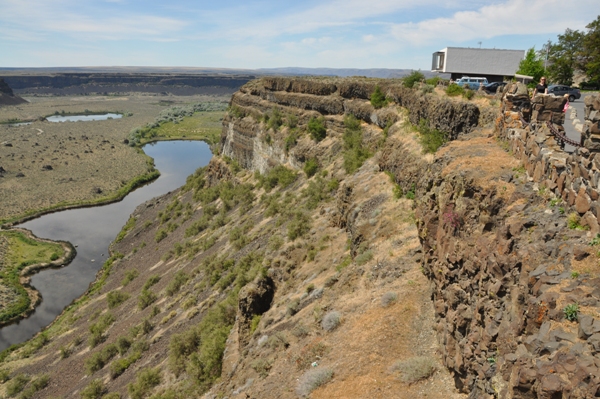
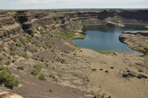
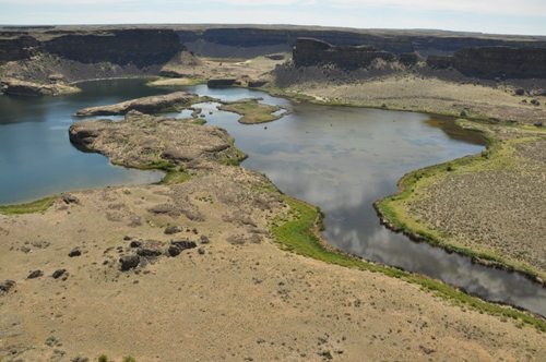
The visitors center tells the story of the geological phenomenon of the region. The history of lava flows, Ice Age floods, Native American history and the recent discovery of how Dry Falls was created. There is a short video and a gift shop. Outside has some good viewing areas and interpretive displays. Dry Falls is 3.5 miles wide with a drop of more than 400 feet. By comparison, Niagara is one mile wide with a drop of only 165 feet.
WillhiteWeb.com - Grand Coulee Sights
Miocene Landscape
About 20 million years ago, during the Miocene Epoch, the landscape of Central Washington consisted of mountains, valleys, streams and lakes. Trees, shrubs, and plants flourished in a moist, temperate climate. Sequoia, oak, elm, hickory, cypress, chestnut, ginkgo and other large trees grew in profusion.
Lava Flows
During late Miocene and early Pliocene times, one of the largest basaltic lava floods ever to appear on the earth's surface engulfed about 63,000 square miles of the Pacific Northwest. Beginning about 17 million years ago, and lasting for about 11 million years, lava flow after lava flow poured from the earth. Together these flows, one on top of another, were as much as two miles thick. The ancient Columbia River was forced into its present course by the northwesterly advancing lava. The lava as it flowed over the area, first filled the stream valleys, forming dams that in turn caused lakes. In these ancient lake beds are found fossil leaf impressions, petrified wood, fossil insects and animal bones. With the end of the outpouring of lava, tremendous forces deep within the earth began to warp the plateau in several places. A general uplift of the mountainous region in the north caused the entire plateau to tilt slightly to the south. This tilting and associated stair-step rock folds, called monoclines, in the vicinity of Coulee City and Soap Lake, played an important role in the formation of the Grand Coulee.
The Ice Age
With the beginning of the Pleistocene Epoch, about one million years ago, a cooling climate provided conditions favorable to the creation of great sheets of moving ice, called glaciers. Thus began the most recent Ice Age. During the centuries, as snowfall exceeded melting and evaporation, a great accumulation of snow covered part of the continent. As the snow depth and pressure increased, glacial ice was formed. This vast ice sheet moved south into Washington, Idaho and Montana. Near the Canadian border, the ice sheet was up to one mile thick. At its leading edge, the ice dammed rivers and created lakes. At times, the Columbia River was forced to flow through what is now the Grand Coulee. One especially large lake, covering a portion of northwest Montana, played an important role in the formation of Dry Falls. As this lake grew in size, it eventually broke through the ice dam, unleashing a tremendous volume of water to rush across northern Idaho and into Eastern Washington. Catastrophic floods raced across the southward-dipping plateau a number of times, etching the coulees or ravines that characterize this region, now known as the Channeled Scabland. As the floods in this vicinity raced southward, two major waterfalls formed along their course. The larger was that of the upper coulee, where the river roared over an 800 foot cliff. The eroding power of the water plucked pieces of basalt from the precipice, causing the falls to retreat 20 miles and self-destruct by cutting through the Columbia River valley near what is now the Grand Coulee Dam. The other major waterfall started near Soap Lake, where less resistant basalt layers gave way before the great erosive power of this tremendous torrent. As in the upper coulee, the raging river yanked chunks of rock from the face of the falls, and the falls eventually retreated to their present location.
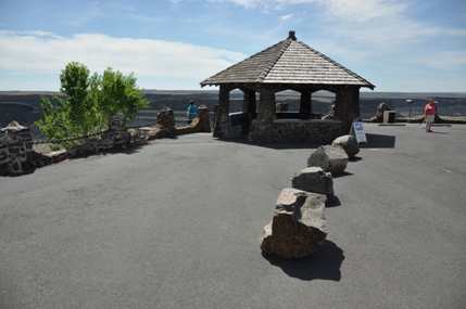
Viewing gazebo
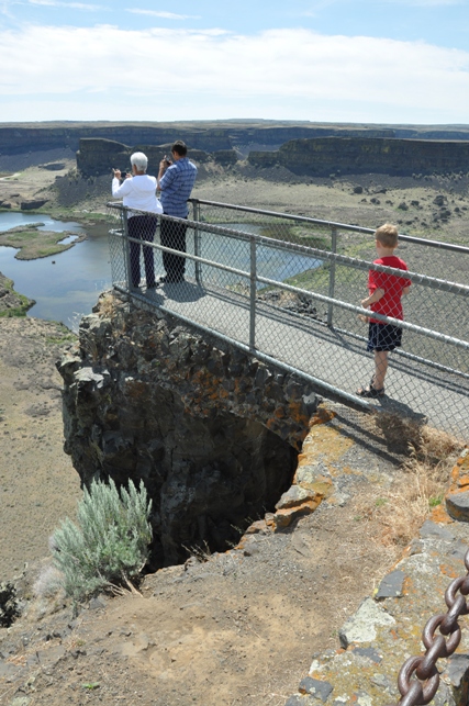
Dry Falls viewing platform
Dry Falls Lake and Green Lake
Dry Falls and Dry Falls Lake
Dry Falls Visitors Center
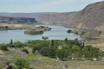
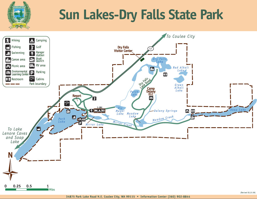
View over the Sun Lakes Resort just south of the visitors center
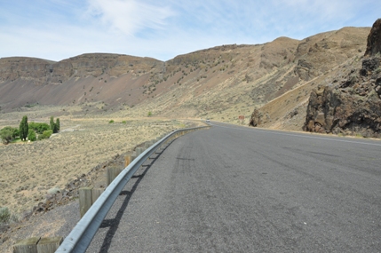
The road just south of the visitors center as it drops down into the coulee
Dry Falls
Dry Falls


