Kosmos Lookout Site
WillhiteWeb.com
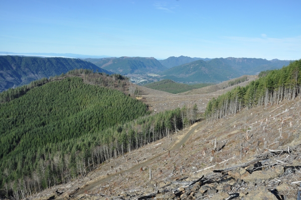
Kosmos Lookout is a prominent highpoint due east of Morton, usually not shown on maps, that has over 1,300 feet of rise. This hike offers excellent views, especially if you take scenic routes to the summit.
Elevation: 3,580+ feet
Distance: 5.6 miles (middle route) or 6.7 miles (eastern route)
Elevation Gain: 2,610 feet
Road Access: Paved
Prominence: 1,320 feet
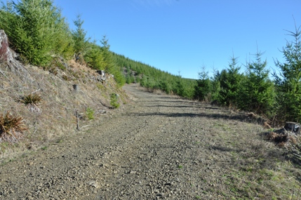
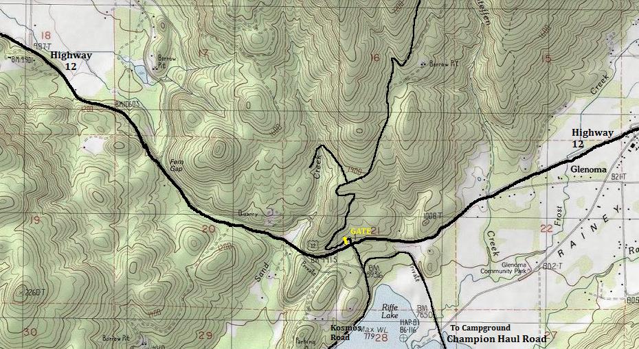
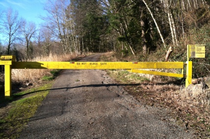
Take Highway 12 east from Morton passing farms. When the topography envelops the road, you have entered Fern Gap. Shortly beyond, the peculiar overpass of the Champion Truck Road crosses over the road. Shortly beyond this, a sign will indicate Kosmos Road turn-off on the right. But instead of right, go left onto a wide dirt road. Shortly up the road is a gate. At present (2015) it is signed as open for non-motorized use. This changes when logging is happening.
Access:
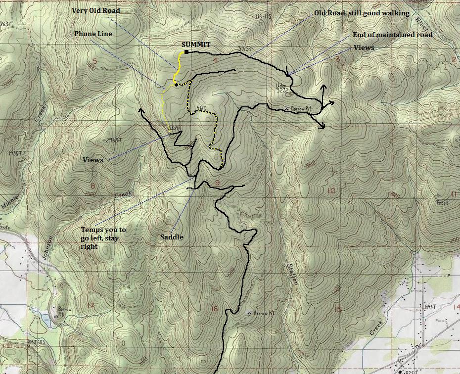
There are three options. The quickest is the middle of the three shown on the map. The east route is best for bicycles and one could pretty much bike to the summit. The west route offers views other routes do not see, has the telephone line but requires some (easy) off trail route-finding. So, from the gate, just follow the main road, avoiding spurs that look less traveled. After a few switchbacks, a new harvest area opens up. Just keep straight. Follow the map. At 2,800 feet is a junction that has a new harvest area that temps you to go left, climbing to the huge viewpoint high above. (Ok, I was tempted). The west route goes left, the other two routes continue traversing. After one more drainage, the road splits again. This time, the lesser traveled road left is what you want for quickest access to the summit. Follow it up to 3,320 feet where an old road cuts left uphill. Follow this to the end, although it does continue, it has been bermed and hiding. Turn right into the woods, get up some distance and look for the old road on your left. The road has tank traps every 100 feet, is overgrowing but goes up the remaining distance to the summit.
Route:
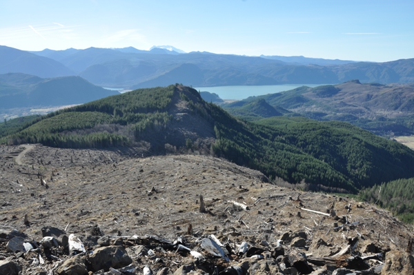
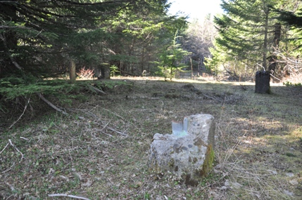
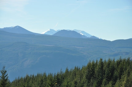
Gate near Highway 12
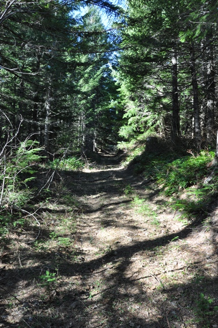
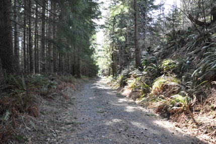
First few miles in the forest
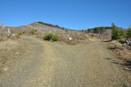
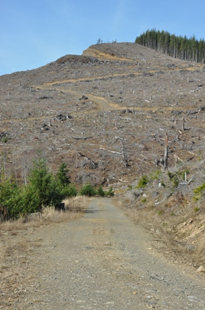
Roads up Kosmos
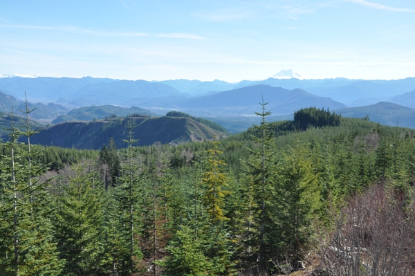
Mt. St. Helens coming into view
Left for the west route, right for the other two
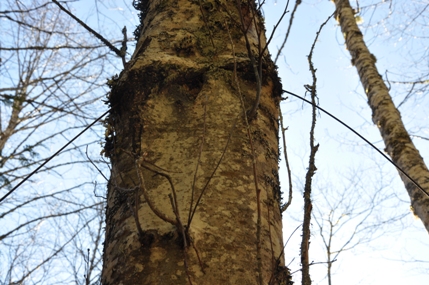
Phone line going through the center of an Alder tree
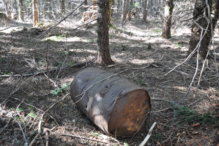
Getting near summit....oil drum
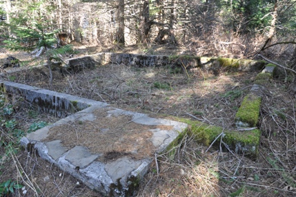
House foundation at the summit
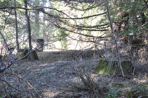
Footings for the steel lookout tower
The eastern route summit ridge road
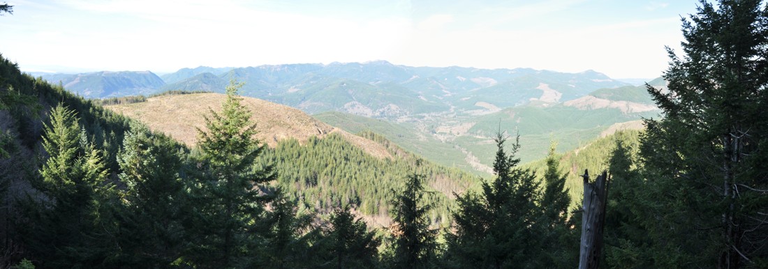
Riffe Lake from the road end on the Western route
Morton from the road end on the Western route
Coming back via the eastern route, looking at the road up the western route
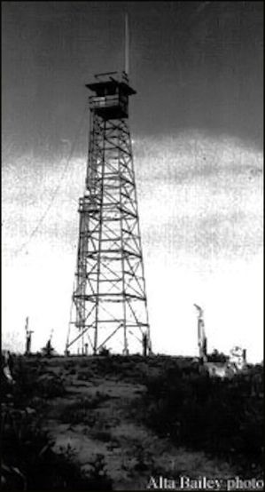
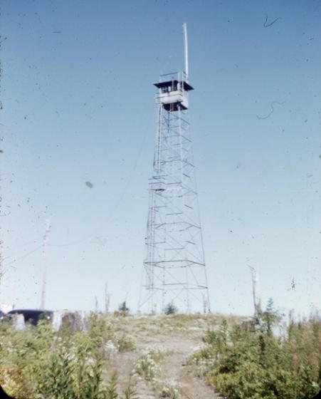
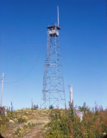
Old photo of the steel tower
Footings of the wood tower
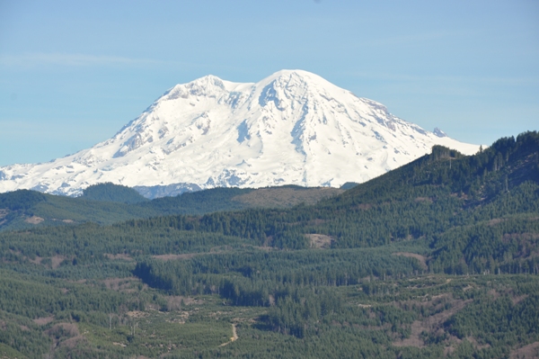
Mount Rainier from the Eastern ridge viewpoint
Mount Adams and view East from the Eastern route viewpoint
View to the NE from just below the lookout site (To The Rockies Block)
Lookout History
In 1947, a 90 foot (or 75 feet) steel tower with 7x7 foot observation cab was placed on top. It was WWII surplus. Next to the tower was a 14x18 foot house used as living quarters. The foundations for both structures are still there.
In 1963, right where the steel tower was located, a 50 foot wooden DNR live-in tower was built. This second lookout lasted until destroyed in 1968. The footings of this lookout still remain, overlapping the footings of the steel tower.
September 3, 1953


