Humphrey Mountain Lookout Site
Washington Lookout Sites
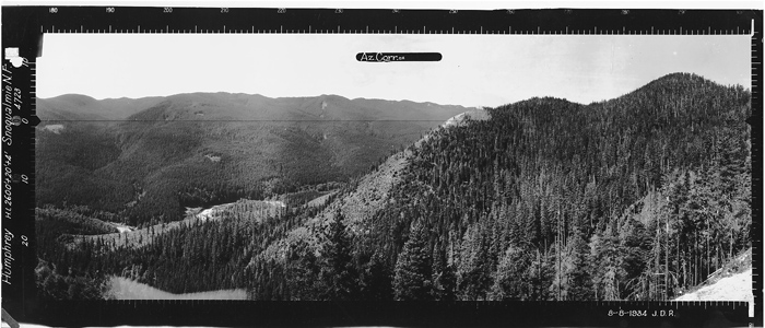
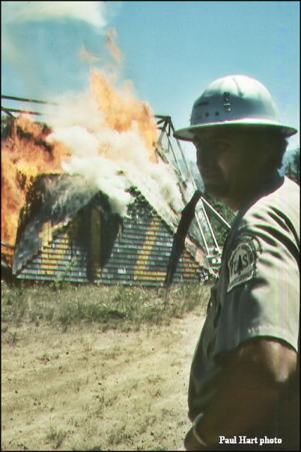
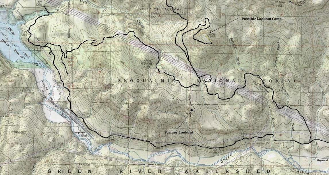
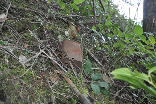
Located in the center of the Green River Watershed, the Humphrey Mountain Lookout was a lower elevation viewpoint built on the east end of Humphrey Mountain. The lookout had a commanding view to the east looking at much of the route of the BNSF Railroad route from Stampede Pass. Views West were limited due to the higher points of Humphrey Mountain. The structure was a 20 foot wood L-4 tower, probably built in early 1934. In August of that year, panoramic photos were taken from the lookout at 24 feet off the ground. In 1942, an Aircraft Warning Service cabin built on the summit. The lookout was burned to the ground in 1973. The timber at the lookout was harvested around the time of construction in the early 1930's. The next generation of timber was cut as recently as the mid-90's. Luckily, the steep south side where the garbage dump was located, was not affected by the harvest. The hillside revealed many lackluster artifacts, mostly cans, bottles, boards, batteries, glass and wire. Overall, the site could be easily walked past without any hint that such large structures were once located here.
Elevation: 2,573 feet
Road Access: Restricted
Looking Southwest - 1934
Looking Southeast - 1934
Looking North - 1934
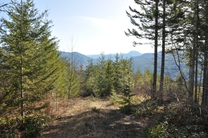
Looking Southwest - 2015
Looking Southeast - 2015
Looking North - 2015


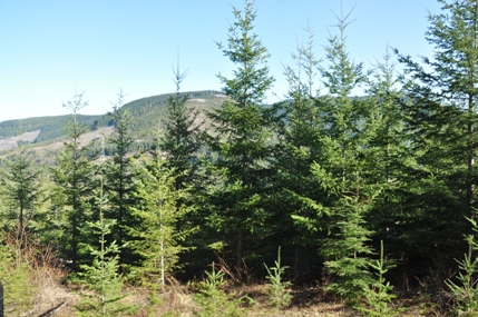
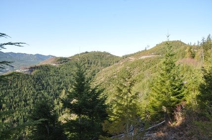
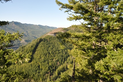
(from a cliff below the lookout site)
(from an open area west of the lookout site)
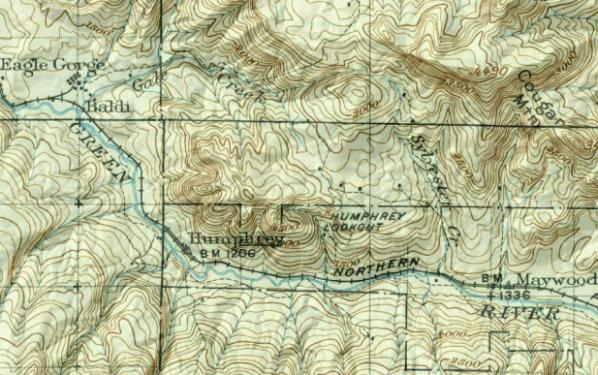
Shown on the 1937 Snoqualmie National Forest Map
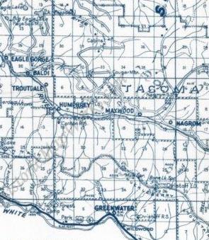
The L.O. was on the large 1940 King County Metsker map, but not on the more detailed 1926 or 1936 county maps.
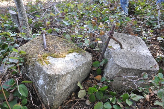
Two footings found shoved out of the way

Point 3510
Cougar Mountain
Notes on the North Panoramic
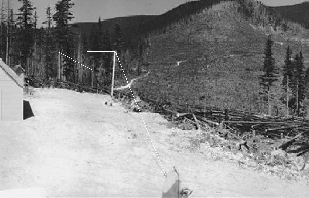
Weather Station
The 1934 panoramic photo shows a car garage, an outhouse, a weather station, and a communication line heading north. A 2015 visit found all four posts for the weather station with one still standing. This was the highpoint and some old timbers wired together below the station hint of a makeshift original lookout may have once stood at this location.
The communication line (drawn on this photo in white) is visible in the photo to the first post. Two more posts are visible heading toward the timber. This line is heading in the direction of point 3510. Point 3510 is significant as there is evidence of the summit being used as a lookout.
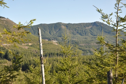
(Cougar Mountain)
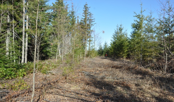
The lookout was just behind, left off the picture, the garage and outhouse would be just ahead
This photo is said to be the Humphrey Mountain Lookout
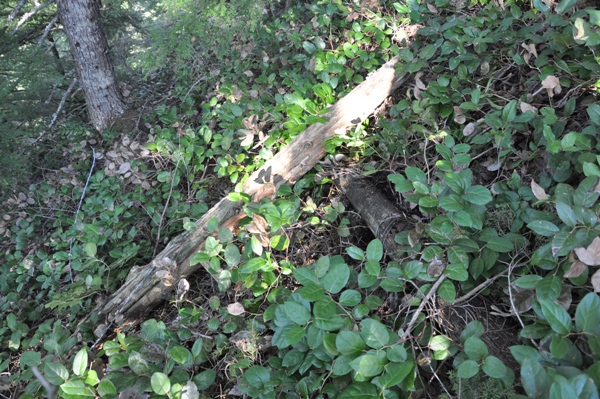
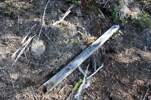
Painted boards
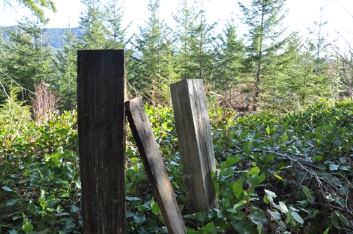
Two of the four weather station posts
Lots of these on the hillside
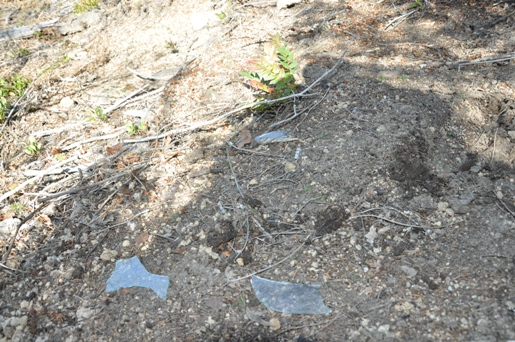
Glass
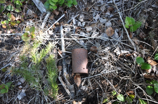
Tin Cans
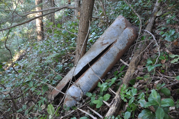
Maybe the stovepipe
Old timbers lashed together with wire below the weather station highpoint
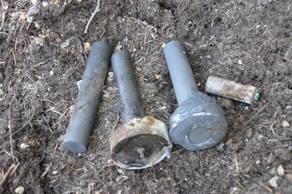
Old corroded batteries
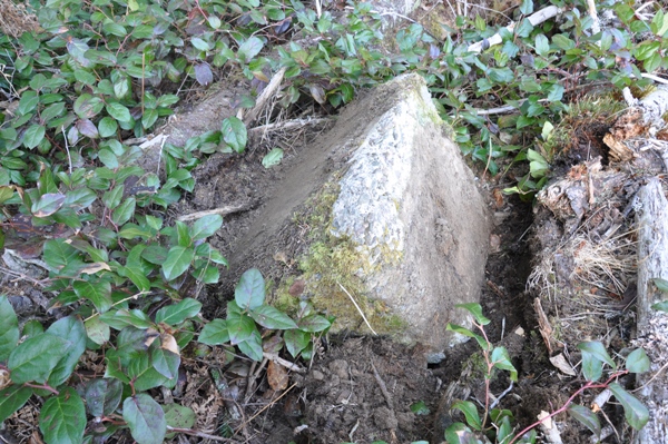
This third foundation block was upside down almost buried


