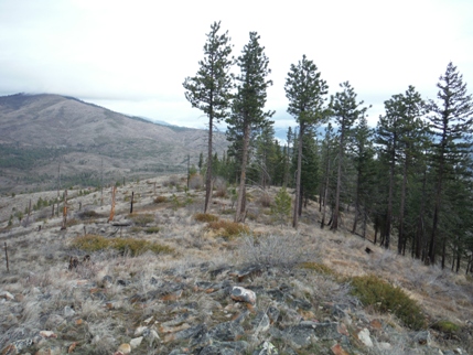
Goman Peak & Byrd Point Lookout Sites
Washington
This hike at the eastern edge of the cascades nearly starts at the Columbia River, climbing 3,000 feet to the former lookout sites of Goman and Byrd. The route is along the Oklahoma Gulch Road, part of a wildlife area that gated to motorized use during winter and spring. Activities are discouraged as they impact wintering deer but many go this time of year due to easy access. I must have saw 30 to 40 deer in just a few hours in March.
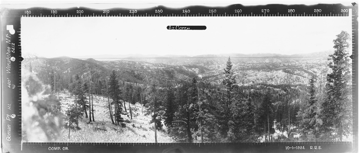
Goman Peak has good views and makes a good destination. The lookout here was reported to be a 1930's camp that was abandoned in the 1940s. One lookout book claims it was shown on 1937 forest service map. Just feet south of the highest spot, the entire summit area has been built up with rocks and leveled out. It's completely unnatural, likely the site of the camp. What isn't reported is there was some sort of Crows Nest Lookout in 1934. The panoramic photos reveal that the picture was taken 60 feet above ground. Just looking at the photos reveals three things consistent with crows nest pictures, the photo is as high as the tree tops, there is no foreground, and there are cut limbs or branches right next to the camera lens. Standing on the summit, it's ovious the shots were taken much higher. Several burned out stump holes hint of the larger trees that once stood near the summit of Goman Peak.
Goman Peak/Point Lookout Site
Elevation: 3,499 & 3,625 feet
Distance: 13.5 miles RT
Elevation Gain: Around 2,800 feet gain for one, add 500 for two
Road Access: Paved Hwy 97A (Oklahoma Gulch Route)
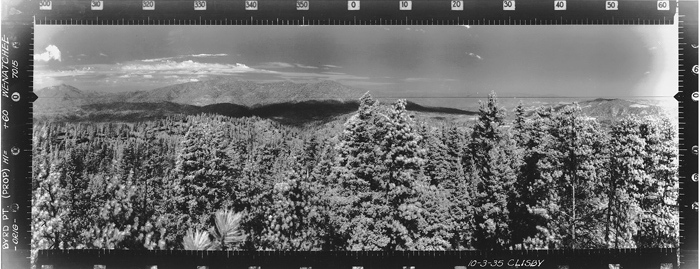
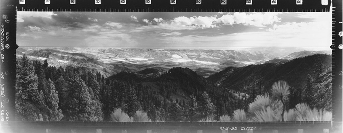
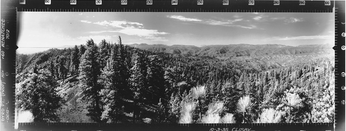
There is little information about Byrd Point but here is what I've pieced together. Previous researches found information the site was a camp in 1934, abandoned sometime in the 1930s. To figure out the exact location, we can use the 1935 photos shot during the photo survey. (Why these were taken a year after the Goman Peak photos makes me think the site was established in 1935, not 1934). At several locations along the ridge, I took 360 degree photos, the location of the lookout site appears to be at Point 3625. Another hint is that Point 3625 is not the highest spot on the 3600 contour, but explains why that corner of the contour might have been marked on maps. Although the ground around the lookout site appears to have been manipulated over the years, since the road passes so close to the site, nothing of certainty is evident from the lookout days. A metal detector is really needed if evidence was to be found at this one. Similar to Goman Peak, this was a Crows Nest, the pictures were taken 60 feet above ground and it's quite obvious in the photos.
Byrd Point Lookout Site
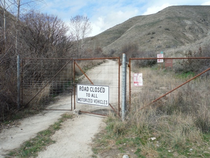
Take US 97A north of Entiat to a left turn on Oklahoma Gulch Road. Shortly up the road is a gate and parking area. Start here unless the gate is open, if so you can drive all the way up to the saddle between the two summits, Note: there are other access points to the ridge but I'm not familiar with these roads.
Access & Route
Goman - Looking Southwest - 1934
Goman - Looking Southeast - 1934
Goman - Looking North - 1934
Looking Southwest - 2015
Looking Southeast - 2015
Looking North - 2015
Byrd - Looking Southwest - 1935
Byrd - Looking Southeast - 1935
Byrd - Looking North - 1935
Looking Southwest - 2015
Looking Southeast - 2015
Looking North - 2015
Byrd Point Lookout Site


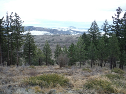
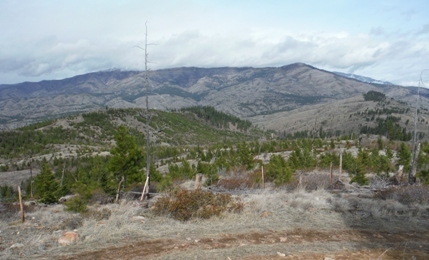
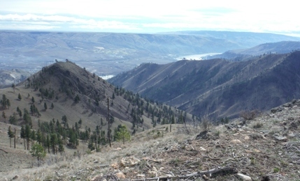
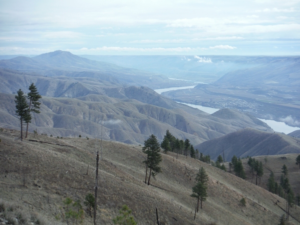
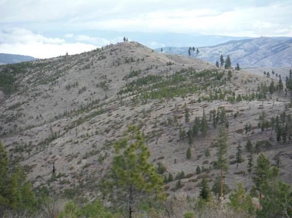
Columbia River and Chelan Butte on left
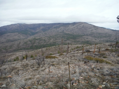
Byrd Point from the slopes of Point 3,755
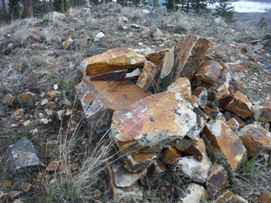
Rock chair on Goman Peak
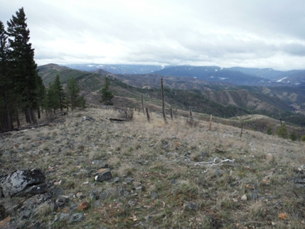
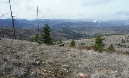
North to Baldy from Goman Peak
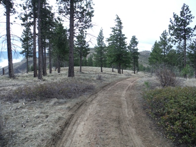
On the ridge between Goman and Byrd
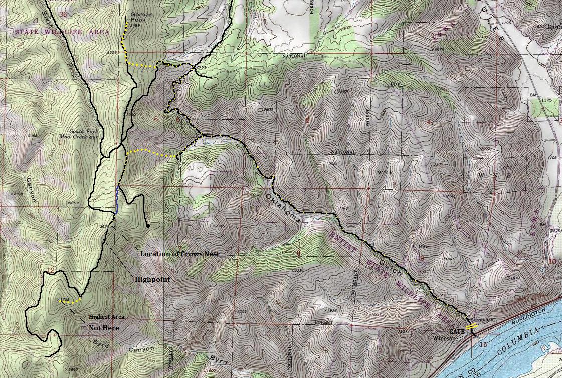
Black = roads
Blue = trail
Large Yellow Dots = off trail route
Yellow Dots on Black = road walking
Showing route taken up Goman Peak and down from Byrd Point
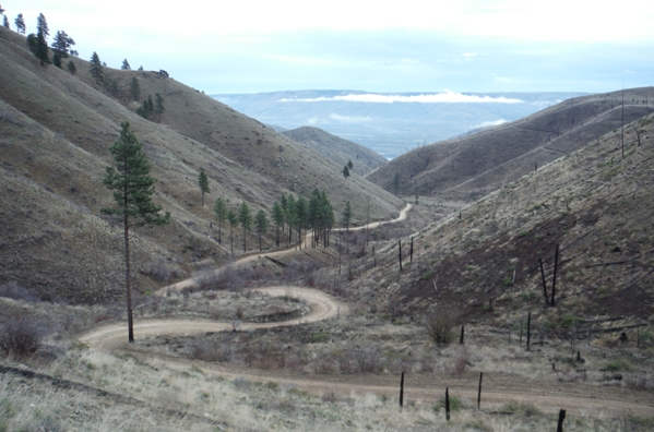
Looking down Oklahoma Gulch
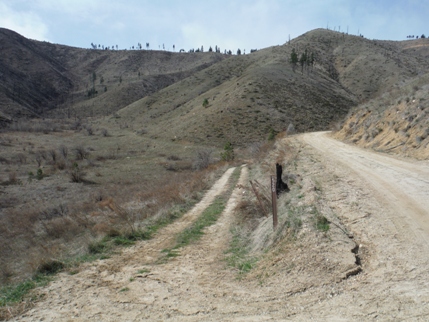
Road split in Oklahoma Gulch that makes for a round trip from here
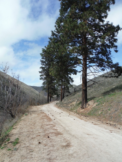
Oklahoma Gulch surviving trees
Oklahoma Gulch gate near Highway 97A


