Blackjack Ridge Lookout Site
Washington Lookouts
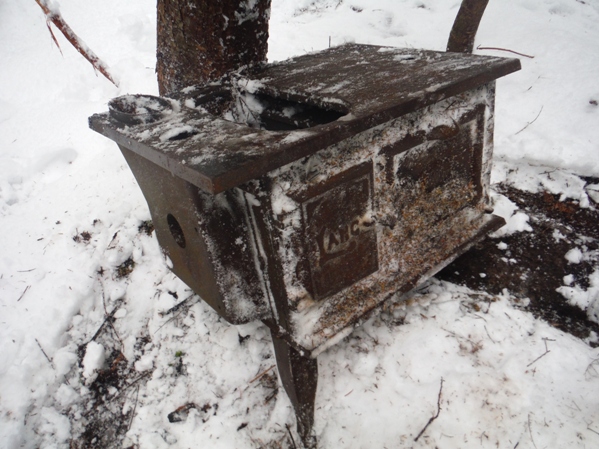
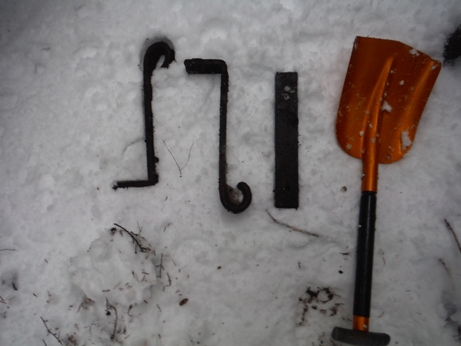
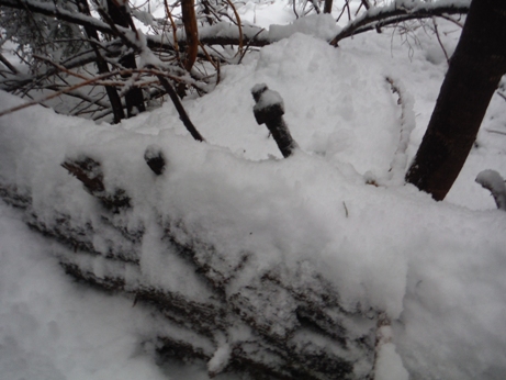
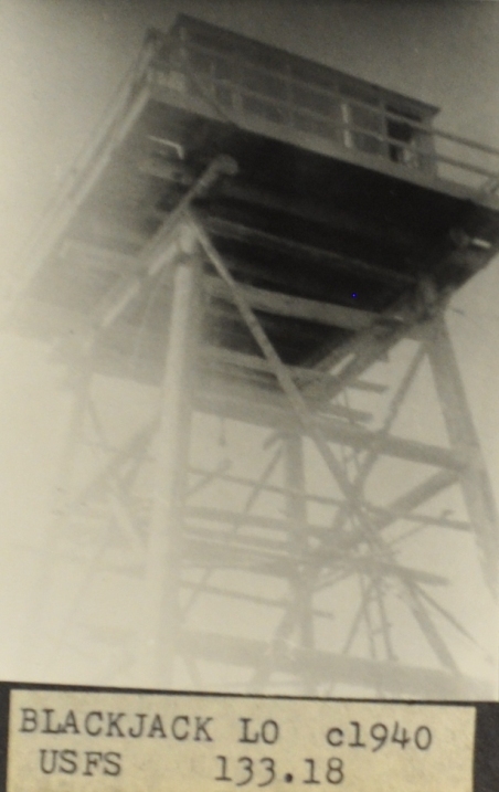
The location on Blackjack Ridge is so obscure, a small bump on a flattish low elevation ridge. Much of the site is surrounded by old-growth timber and the views were only of a specific direction. In 1935, panoramic photos were taken at 32 feet plus 4 feet above the ground. Only 2 shots were taken and only one panoramic really shows much terrain. In 1942, the site was used by the Aircraft Warning Service, activated on September 11, 1942 and deactivated on October 16, 1943. The AWS added a small storage building to the improvements. The lookout was abandoned sometime around 1950. The location on Blackjack Ridge is so obscure, there really is no reason people would come across the site since. On the lookout point is a scattering of bolts, wires, metal, the stove pipe and even the wood stove nearby. Getting to it is quite an adventure, not one for the average hiker.
From Granite Falls follow the Mountain Loop Highway east for 18 miles to Forest Road 4030 (the turnoff is just before Red Bridge and is easy to miss). Continue just under a mile on pavement to a pull-out on the left at a major bend in the road. Park here where an old road has been barricaded.
Access
Elevation: 3,100 feet
Distance: 2.5 miles
Elevation Gain: 1,700 feet
Road Access: Paved
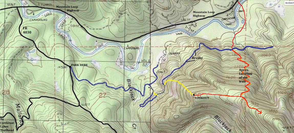
Walk the old road (now a trail) for about a mile, crossing Blackjack Creek on an old log bridge that is partly collapsing. Continue on the road as it curves right to a switchback, then a right curve to a Y in the road. The right uphill direction is the one you want (find a trail just behind the berm. Proceed up the upper road but the trail quickly leaves the road going to a hunters camp. Fight the brush for 5 minutes up the road before cutting left to cut off a super long brushy switchback (see map). Follow the upper road until you are below the ridge that leads to the lookout (shown on map). Good open 2rd growth forest can be followed up the ridge until you reach the old growth. At times, the terrain is very steep as you weave between or around forested cliffs. Follow the ridge up until you reach the flat plateau shown on contour maps at 3,100 feet. BUT, where the ridge pops you out is actually a slightly higher knob, and the lookout was on top of the knob.
Route
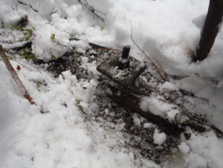
The wood stove is around 200 feet down the knob to the east. Other artifacts are in that area too.
Finding the wood stove
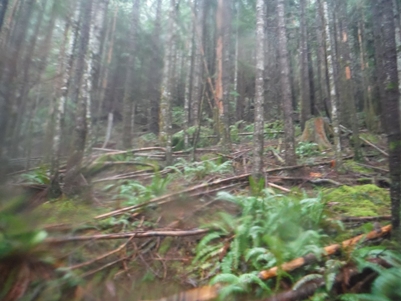
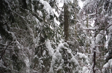
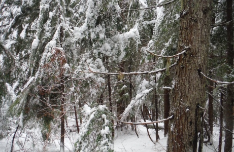
Climbing up the 2nd growth
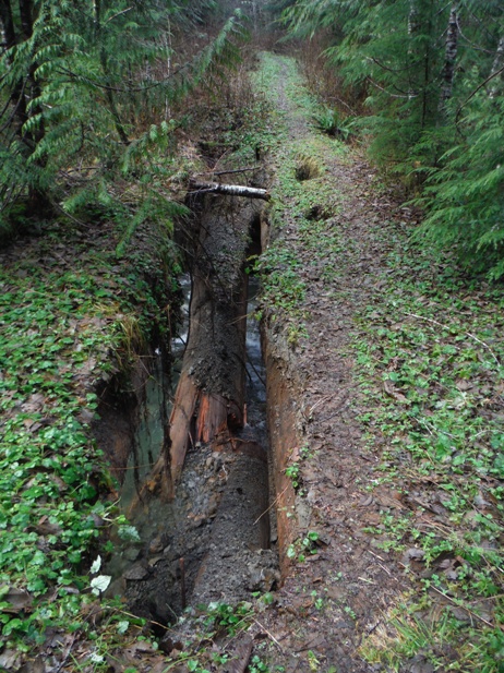
Bridge over Blackjack Creek failing
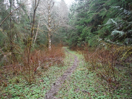
Hiking the old road near the start
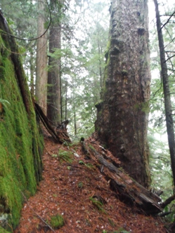
Climbing up the old-growth
North - 2014
Southwest - 2014
Black = Road Blue = Old Road Yellow = Off road
The wood stove is about 200 feet east of the lookout
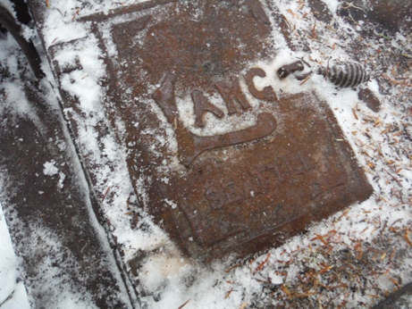
Lang Manufacturing Company of Seattle was established in 1904 by Frank S. Lang, who built his first wood-burning stove in 1880 for the Alaskan Gold Rush camps. In 1907, the first patented Lang stove was produced to serve the U.S. Navy transporter - SS Dix. The company thrived by providing the highest-quality, affordable cooking and baking equipment on the market, while serving some of the most demanding customers.
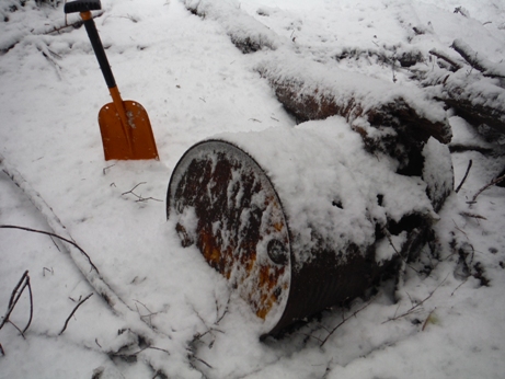
Oil drum about 150 feet from the site
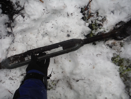
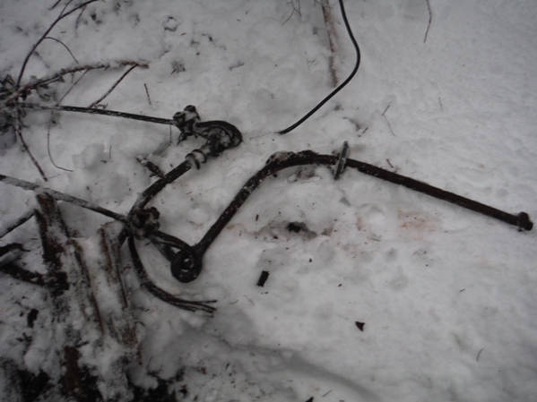
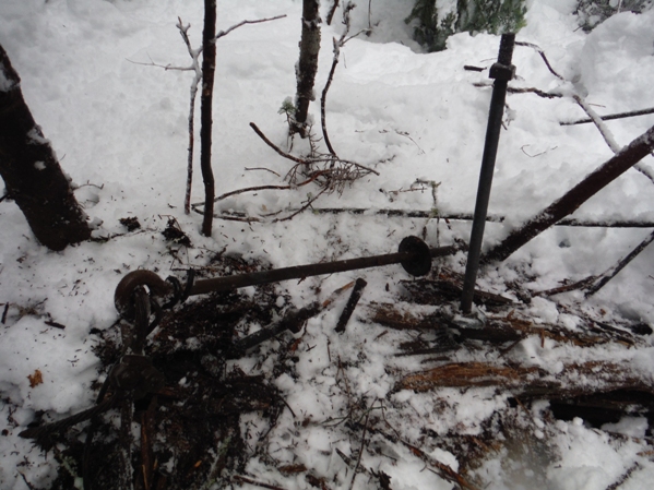
I followed a thick cable to this huge tightner that was 30 feet down the ridge I came up
Metal work
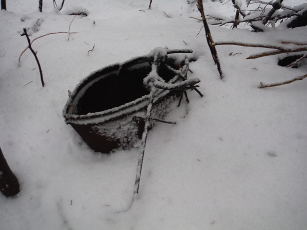
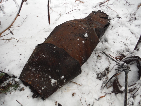
The stove pipe
Bucket
Our crew was put to work helping to prepare Blackjack Lookout for year-round occupancy. We spent several days installing a high-level telephone line that would clear a heavy snow accumulation, as well as cutting a big stack of wood. An old-time miner named Manley, and his wife, were to spend the winter at Blackjack, isolated except for the telephone and radio. The Manleys must have been approximately seventy years of age – a hardy couple who had staked a mining claim and built a cabin close to the Sunrise Trail that wound up to Headlee Pass, near the head of the South Fork of the Stillaguamish. They were an ideal pair to serve in such an isolated location because they understood completely the rigors of the job.
From the book Switchbacks, by Andy Holland, pg. 114.


Looking North - 1935
Looking Southwest - 1935
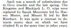
1948 mountaineers trip report
1942 AWS map
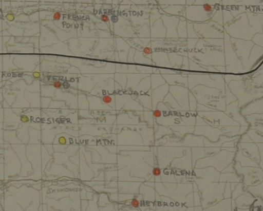
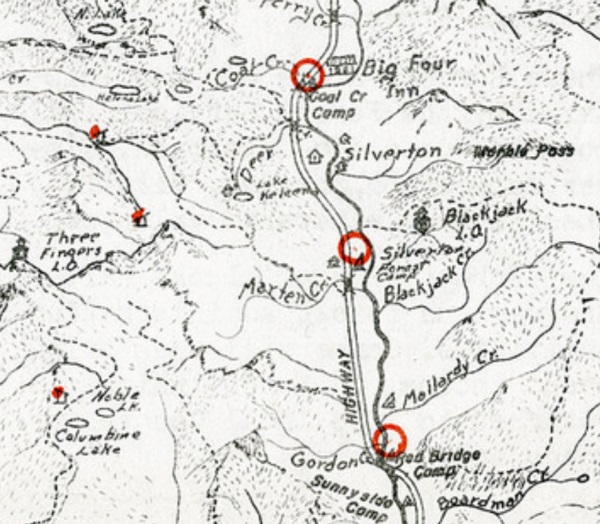
Old recreation map showing lookout
AWS list
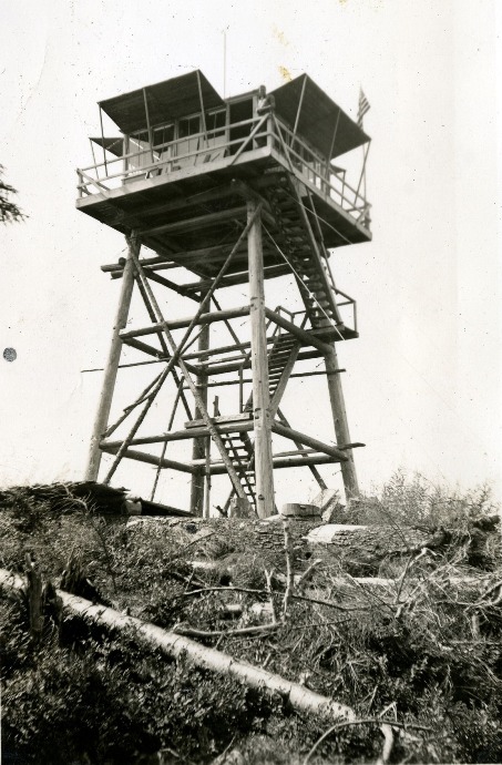
Labeled as Blackjack Lookout 1938 by Charles Hadd


