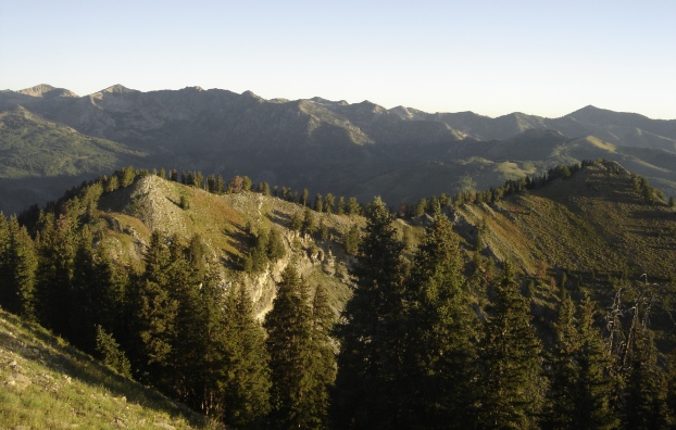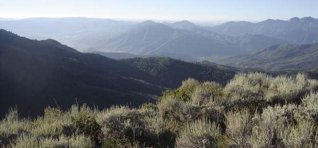
Mill Canyon Peak is a nice hike up the backside of the Wasatch Mountains. The peak is fairly prominent but few know its name or that it makes a good hiking trip. From the top, you get a super view of the Heber Valley and you are looking at the backside of all the more popular Wasatch peaks.
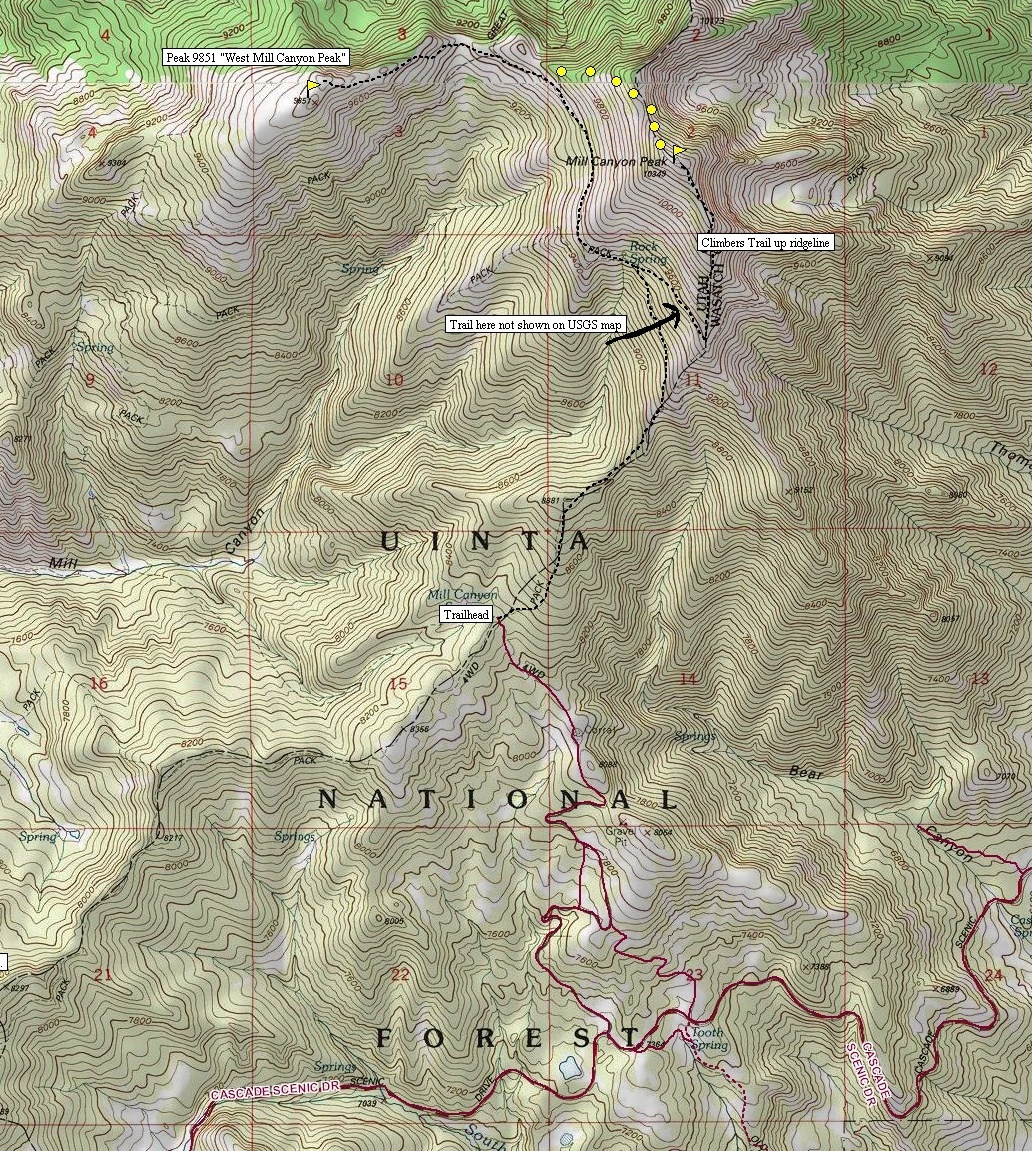
From the parking area at 8,300 feet, a maintained trail works up an old jeep road. This section is a bit steep and open but the views are nice. Around 9,200 feet the trail traverses the side of the mountain as you now enter the shade of trees. This seems to be a newer section of trail as the old trail just charged up the ridgeline. Soon the traversing trail splits at Rock Spring. Take the switchback working your way back to the east and onto the south ridge of Mill Canyon Peak. On this ridge, look for a climbers trail that goes up the ridge all the way to the summit.
From the top, you can grab a bonus peak by dropping off the north side and then the west ridge to meet the Great Western Trail. From this pass, a motorcycle trail climbs all the way to the summit of the West Mill Canyon Peak. Although the peak itself is not anything special, it has spectacular views and is considered an official peak with over 300 feet of prominence. Return by way of the Great Western Trail skirting underneath Mill Canyon Peak making a loop back to the first trail split at Rock Spring. See map.
Distance: 2.5 miles to Mill Canyon Peak
Elevation Gain: 2,000+ feet
Summit Elevation: 10,349 feet
Access: Most cars, walk if needed.
Mill Canyon Peak & Peak 9851
Access:
Route:
The southern trailhead is reached by a rough dirt road off Cascade Scenic Drive. Get on the Alpine Loop Highway 92 that goes between the two Mt. Timpanogos Trailheads. At some point along the route, a signed paved road heads east to Midway and Heber City. Follow this down looking for the road on your left. As there are several dirt roads, you'll need a few maps to get the correct one. The road is possible for 2WD but this depends on conditions and how much you like your car. The worst hill is at the very end and one could park below it and walk up.

WillhiteWeb.com

Mill Canyon Peak from Cascades Springs Road
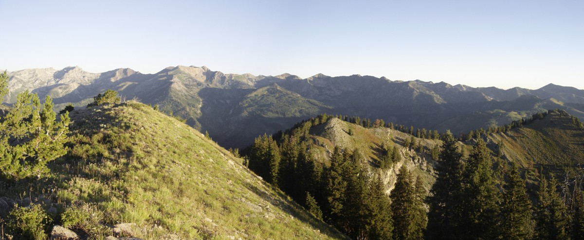
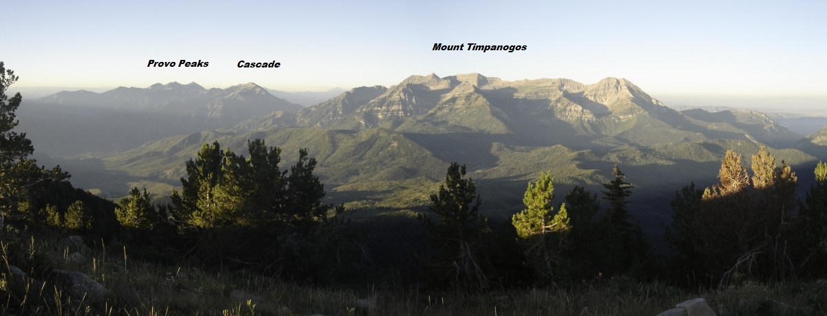
Looking to the South
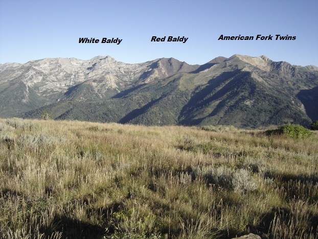
From the summit of Mill Canyon Peak, looking North and West
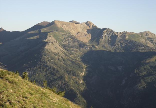
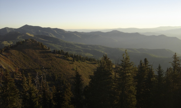
Looking Northeast toward Clayton Peak
American Fork Twins and Hidden Peak on right
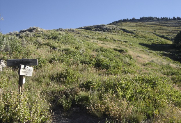
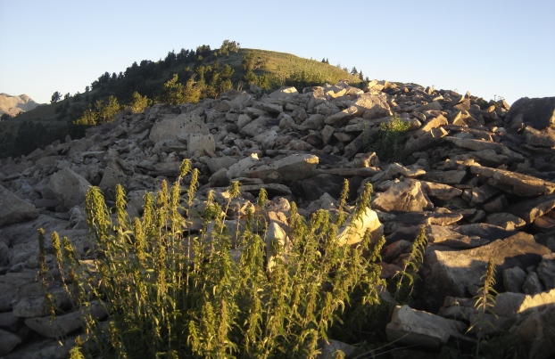
Getting close to the summit
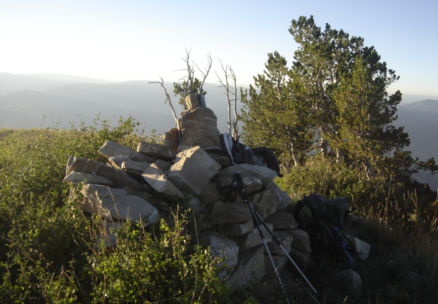
The summit cairn
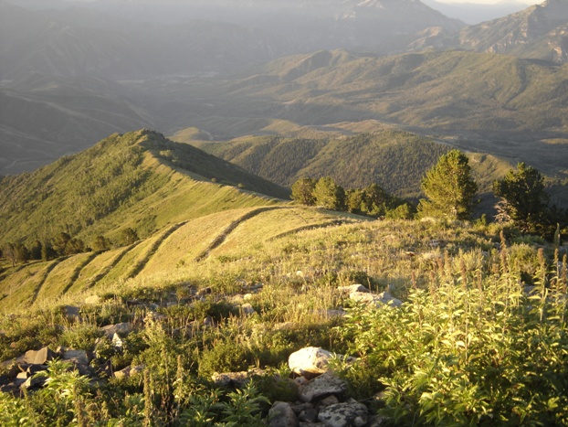
Looking down the south ridge at sunrise
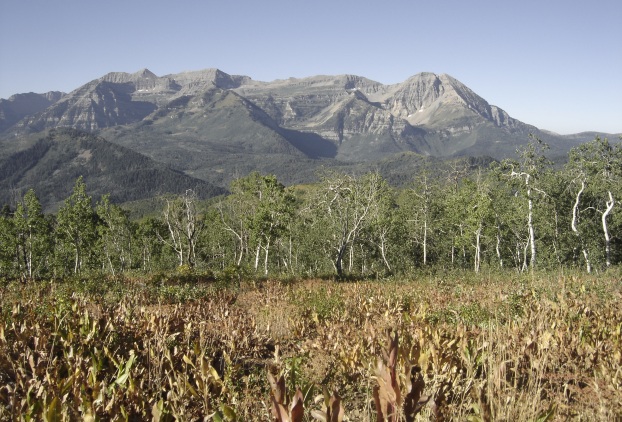
View north from Peak 9,851, West Mill Canyon Peak
View of Timpanogos most of the way back down
