Upwop Peak
Distance: 5 miles
Elevation Gain: 4,300 feet via the Pfeifferhorn
Summit Elevation: 11,137 feet
Access: Paved
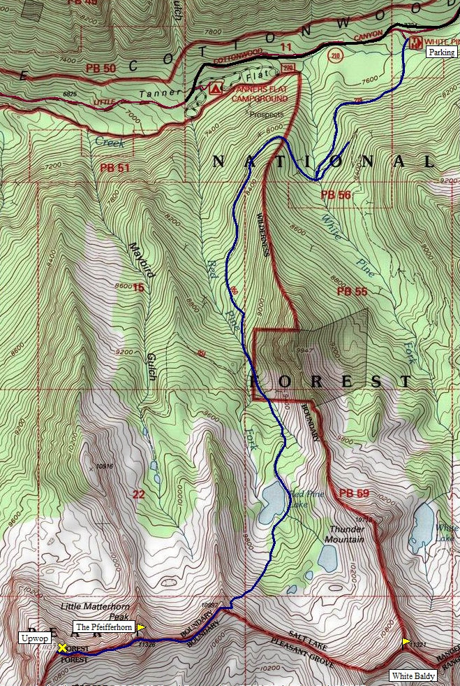
From the White Pine Trailhead, walk one mile through forest to a trail split and large sign. Go right to Red Pine Lake. In 2.3 miles of trail hiking, you reach the lake. The trail continues along the east shore of the lake then crosses a few camps on the other side. Climb through the forest on a minor climbers trail avoiding any boulder fields. The climbers trail will go up a small rib all the way to the ridge top at 10,600ish. Once on the ridge, you'll now see the summit of The Pfeifferhorn as well as the big peaks to the south like Box Elder Peak and Mt. Timpanogos. Traverse under point 10,897, coming to a sharp rock ridge that can be scrambled below on either side or traversed across the top. Beyond, the final 600 feet of climbing up to the summit looks intimidating, it is rather easy, especially since so many before have formed a trail up much of it. One can also traverse the south side of the Pfeifferhorn about 100 feet below the summit to avoid extra gain. Drop the 400 feet to the saddle on the west side then climb easily 200 feet to the top of Upwop.
Route:
Access:
Upwop Peak is hardly a mountain but a nearby satellite peak with little prominence off of the Pfeifferhorn. But it does have many names and is known in the local hiking community as a mountain. For this reason, I decided to run up it since I was in the area. To further insult this mountain, it's name used by many is an acronym for Un-named Peak West of Pfeifferhorn. Doing Upwop is usually combined with the standard route up the Pfeifferhorn. It was only a 15 minute side trip over to the summit.
Drive up Little Cottonwood Canyon around 5 miles to the White Pine Trailhead (signed on the right).
www.WillhiteWeb.com: Your online resource for hiking, climbing and travel
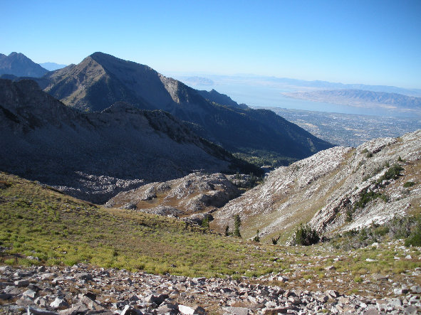

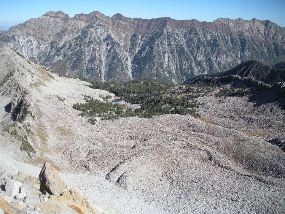
Panoramic to the north and east from above Red Pine Lake
The west ridge of the Pfeifferhorn
The west ridge of the Pfeifferhorn
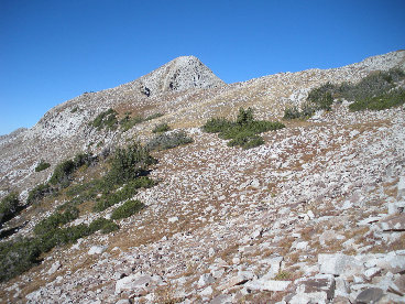
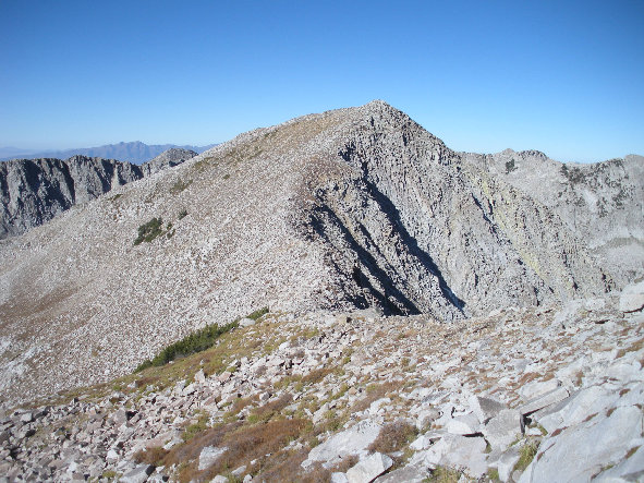
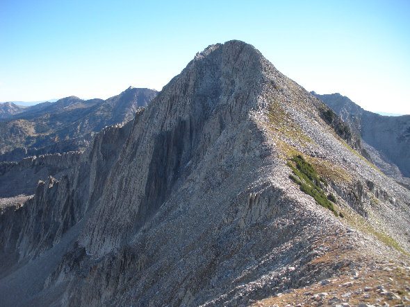
Upwop Peak from near the saddle between Pfeifferhorn
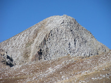
The east ridge of Upwop Peak
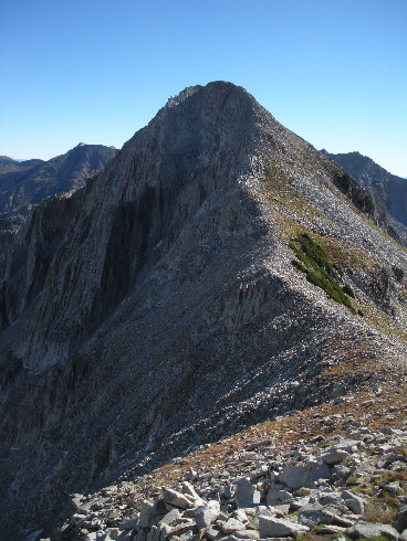
The east side of the Pfeifferhorn
Box Elder Peak and Utah Lake
First view of the Pfeifferhorn
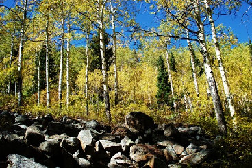
Changing colors on the trees
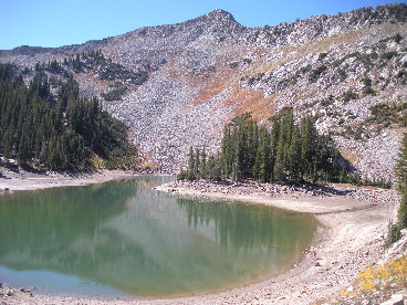
Red Pine Lake
Maybird Gulch headwaters


