
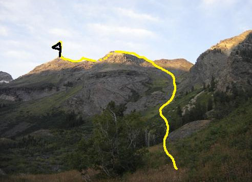
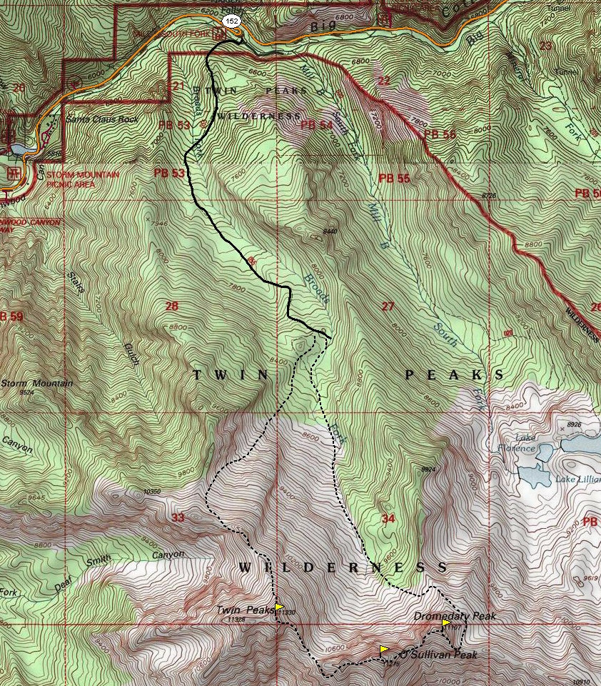
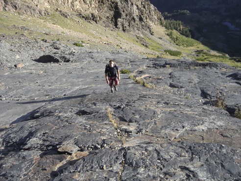
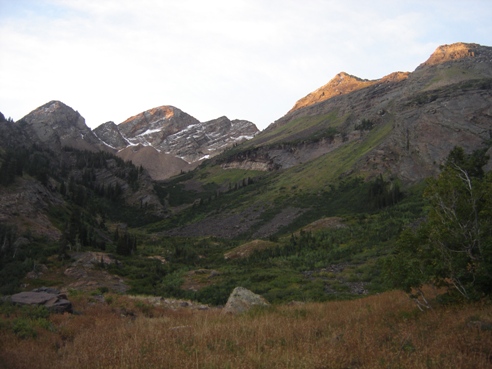
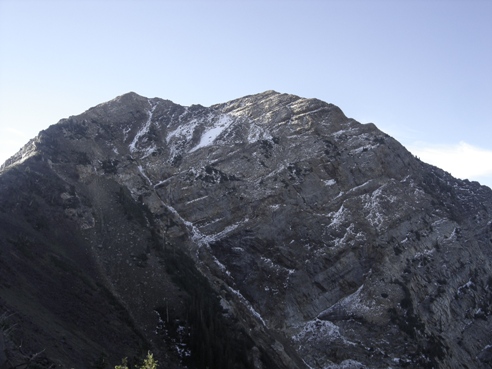
Hike 2.5 miles up the Broads Fork trail to some meadows at 8,200 feet. Here you'll hit a trial split. Go right, up the hill following the trail as it takes you below a mostly brush free slope that goes up to the northwestern ridgeline of the Twins. Leave the faint trail wherever you want to start up. This slope is mostly dirt and small scree down low. Up higher, it becomes rockier. We headed for a notch in the ridge to the south of the lowest point on the ridgeline. This took us across some steep rock slabs but it was a bit quicker than traversing over from the lowest spot on the ridge. Hiking the ridgeline to the base of the summit was easy class 3, now with amazing views of the Salt Lake Valley. The climb up to the summit had some really bad spots with very steep rock covered in loose dirt. This only lasted about 100 feet but was not pleasant. From above, it looked like a better route may have been on the western side of the north ridge. On top, we rested before continuing down the southeast side. Along this section, you hit a difficult rock area I had been reading about. There is an almost vertical 20 foot section that we had to down climb. There was a nice wide crack for doing this. We did belay each other with rope tied around our waists but it was only for comfort. The climbing is not too difficult. If you were coming up, the crack would only become visible after traversing a 12 inch ledge for about 20 feet. Once down to the saddle between Twins and Sunrise, we found minor climbers trails traversing up and around Sunrise Peak. We took these but they quickly disappeared in the big rocks. We climbed up class 3 rock to the false summit west of Sunrise. From there, it was a short drop and climb to the highest point. Nothing too exciting on the summit so we continued down the other side working toward Dromedary Peak. At times, it was hard to believe there would be an easy way down but there always was. The climb up Dromedary Peak is uneventful, the view not nearly as nice as the other two. To get down Dromedary was a ridge scramble to the southeast until an easy gulley reaches up from the Lake Lillian basin. Then it was a traverse around the east side and over the north ridge of Dromedary to drop back into Broads Fork Canyon. All this was cross county work until we hit the trail that goes up to the Twin Peaks/Sunrise Peak saddle. Hike out.
Distance: 10+ miles RT
Total Elevation Gain: 6,000+ feet
Highest Summit Elevation: 11,330 feet
Access: Paved
Broads Fork Twin Peaks, Sunrise and Dromedary Peak
WillhiteWeb.com: Hiking, Climbing and Travel
Access:
Route:
Drive up Big Cottonwood Canyon 4 miles to the Broads Fork Trailhead at the big S curve. This place gets packed in the summer so get there early.
From Rocky Mouth Canyon Peak
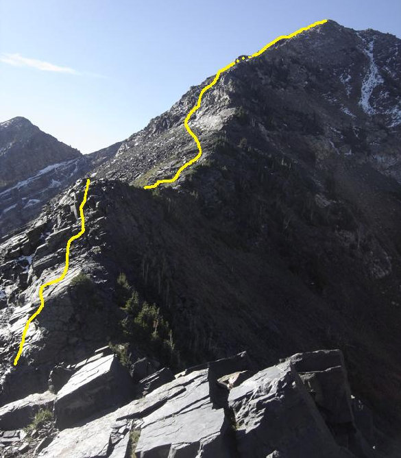
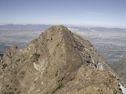
Took the yellow line up the draw to the notch...where we were on a mostly class 3 scramble route along the skyline to the summit
View from the meadows
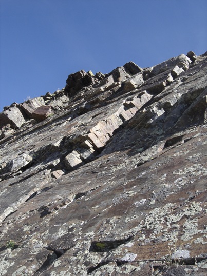
The Slabs around 10,000 feet
Twin Peak North Ridge Route
Sunrise
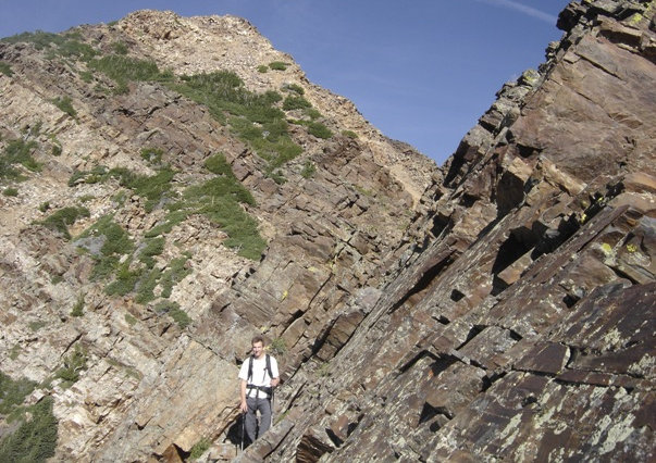
Bad Class 3 area
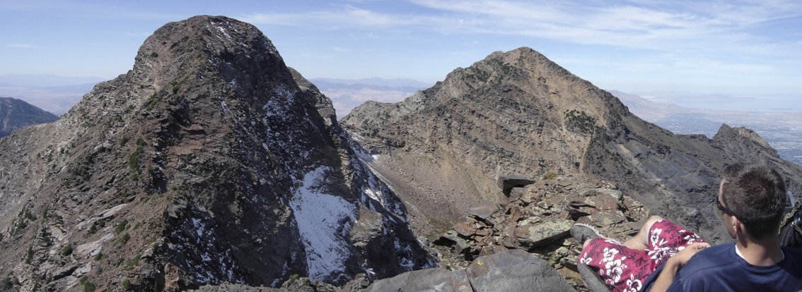
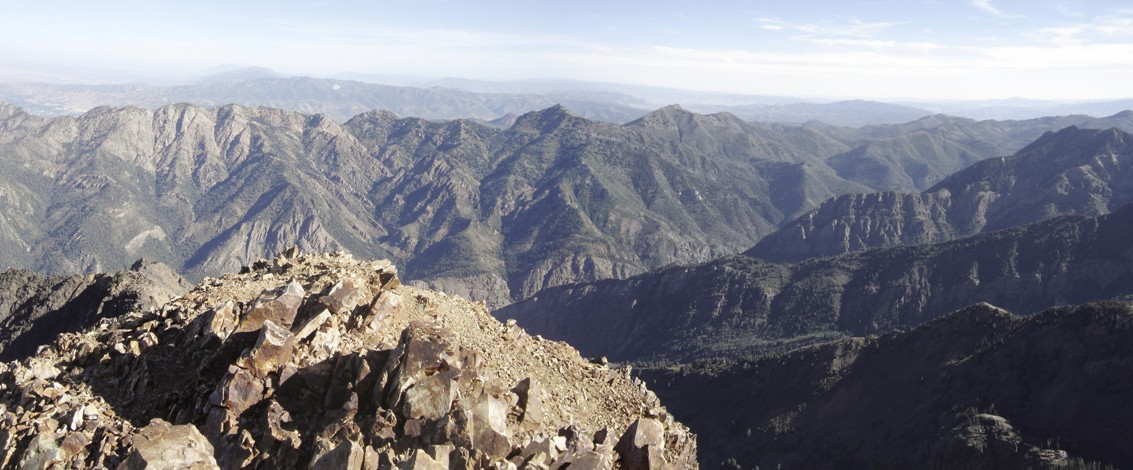
Looking north from the summit of Broads Fork Twin Peaks
The Twins from the north ridge
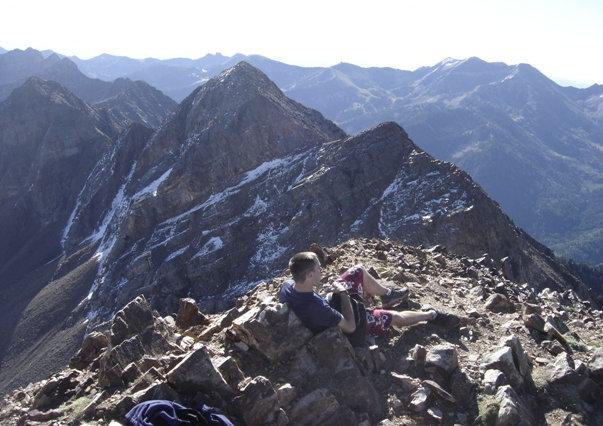
Sitting on Dromedary looking at Sunrise and Twin Peaks
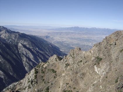
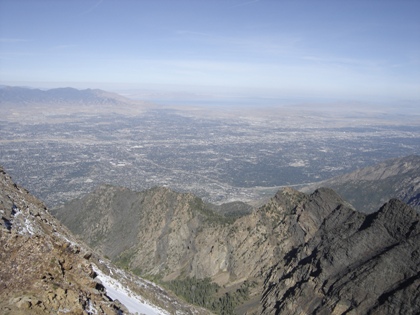
South Salt Lake Valley from the Notch
The west summit is 2 feet lower
North Salt Lake Valley from the Notch
On the summit of Twin Peaks
Red Baldy
White Baldy
Pfeifferhorn
Lone Peak
Upper Bells
Thunder Mountain
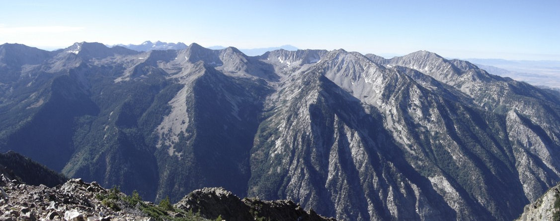
Looking south from Twin Peaks
Here is the wide crack you must climb for 20 feet or so
At the bottom of the crack
Twins
Dromedary Peak
Sunrise Peak
Summit

The Twin Peaks of Utah are made up of the Broads Fork Twin Peak and the American Fork Twin Peak. While at the summit of either
one, you can easily see the other. Broads Fork Twin Peaks are the highest and most prominent mountain on the eastern skyline
in the Salt Lake Valley. With an elevation of 11,330 feet, the rise is nearly 7,000 vertical feet above the valley floor. Sunrise and
Dromedary are two other 11,000 foot peaks are on the same ridgeline. All three are class 3 climbs and all 3 can be combined in one
trip eliminating the need to ever climb back up to this area, however nice it may be. Broads Fork Twin has a reputation for having
a difficult section so I waited to do this trip until a climbing partner was in town.
From Rocky Mouth Canyon Peak
Summit
Looking north from the summit of Broads Fork Twin Peaks


