

Box Elder Peak is the large peak between well known Mt. Timpanogos and Lone Peak. The summit is over 11,100 feet making it popular with peakbaggers. Several trail routes access Box Elder, all seem to be popular and the one I describe seemed to be the easiest when I made my choice of route. To the south of the peak are two additional bonus peaks that can be climbed if you have time and want to do a loop trip.
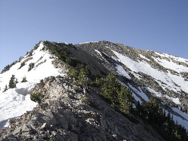
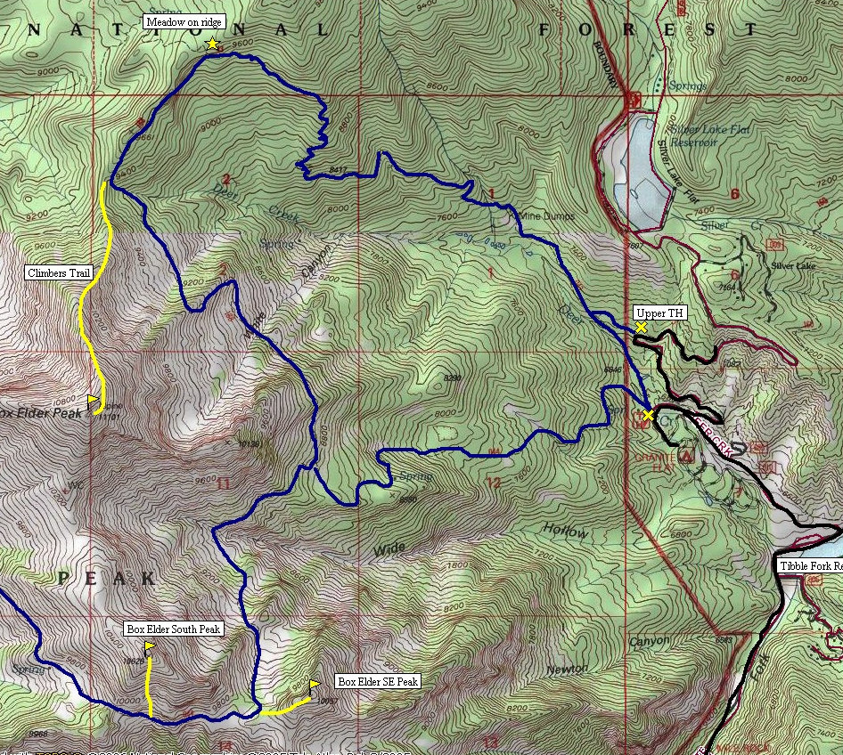
Hike about 5 minutes down the trail where the lower trailhead route will join. Continue up the easy trail through forests, then some openings along the valley bottom. Around 7,400 feet the trail begins its long climb up to the ridge to 9,600 feet. The trail is well built so the hike is not too painful. The views of Box Elder Peak gaining the ridge are great and once on the ridge, the meadows and forests are really nice hiking. Work south along the ridge until the real climbing begins on Box Elders North Ridge. I found a decent climbers trail most of the way up (class 2). The summit has a huge cairn and a huge view.
For the bonus peaks, continue down the south side (even easier terrain) to the summit of Box Elder South Peak, then drop down to the trail and over to the base of Box Elder Southeast Peak. Of course, the trip could be done in reverse order or especially if thunderstorms are predicted and you need a whimp-out peak instead.
Distance: 4+ miles
Elevation Gain: 4,100+ feet
Summit Elevation: 11,101 feet
Access rating: Level 1
Box Elder Peak
www.WillhiteWeb.com: Your online resource for hiking, climbing and travel
Access:
Route:
Exit Interstate 15 on exit 287 and head East towards Alpine on SR 92 for 8 miles to the mouth of American Fork Canyon. Continue 0.5 miles to the fee Station and another 4.7 miles to a Y. Take the left onto SR 144 (North Fork). Drive this road north for 2 miles to Tibble Fork Reservoir. Just past the reservoir is a sharp left hand turn, go left and continue ahead for � mile. Here the road to Silver Lake takes off to the right. Drive up this to the switchback shown on the map and small parking area, maybe 3 cars total. A lower option is to stay left at the last intersection towards Granite Flat Campgrounds. Continue through the guard station � mile to the trailhead on the right.
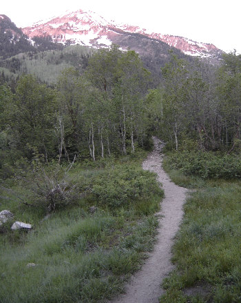
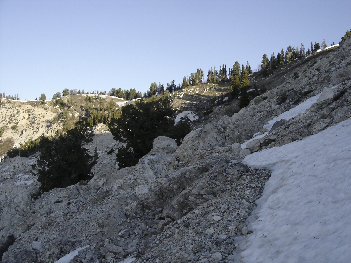
Hiking the trail to Box Elder Peak
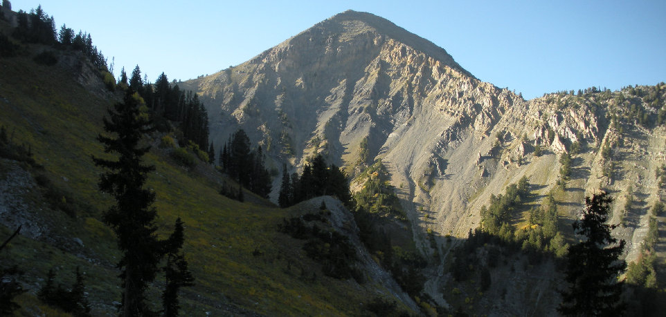
Box Elder Peak from approach trail
Trail working toward the pass
Mt. Timpanogos
Box Elder SE Peak 10,057
Box Elder South Peak 10,626
Trail hits ridge here
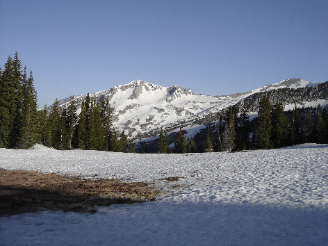
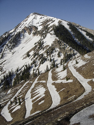
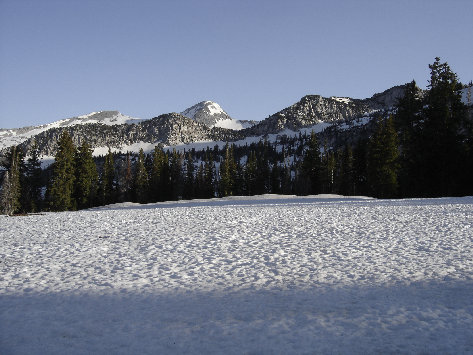
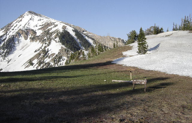
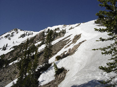
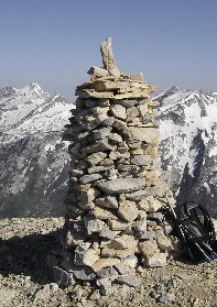
South Thunder Mountain area from the saddle
The Pfeifferhorn from saddle
Classic Wasatch erosion bars
Box Elder Peak from the saddle
Summit Carin
Working my way up the ridge
Getting near the summit
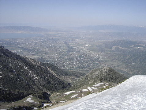
Looking West to north Utah County
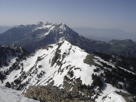
Looking to the South Peak 10,626 and Mt. Timpanogos
Looking north from Box Elder Peak


Above: From the basin below the SE Peak of Box Elder
From the South Peak looking to Box Elder Peak
From the trail below the south and southeast peak


