Hole-in-the-Rock Road
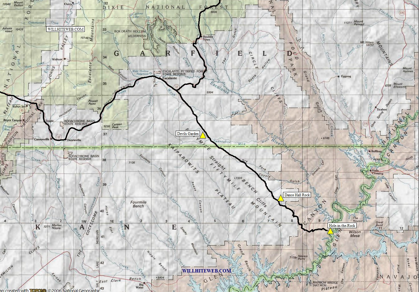
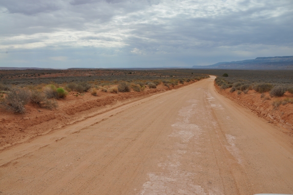
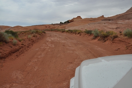
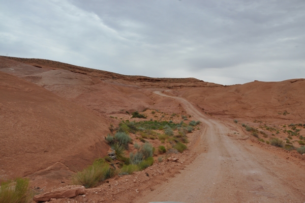
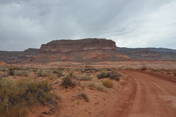
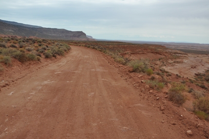
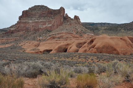
The road to Hole-in-the-Rock has a reputation. Although it is not a difficult road to travel, the road is a long way to go on gravel, dirt, wash basins, tanks, and slickrock. Because the road is traveled by many in passenger vehicles, it can be a real adventure for visitors looking to get a peek at the famous Hole-in-the-Rock. The afternoon rains can change the conditions of the roads within minutes, so many travelers have been stuck, trapped or stranded leading to many stories told about the route to Hole-in-the-Rock. The worst of the washes now have culverts, allowing the water to easily flow under the road, but not all washes are done. Along the way, there are a few great sights to see. One would be the Devils Garden, a collection of rock formations that are uniquely different than other Hoodoos in Utah. Another is Dance Hall Rock, a historic location where a natural acoustic alcove allowed early pioneers to have large dances. Other side roads shoot off to various locations, including slot canyons but most roads are best reserved for 4WD vehicles. As the road gets closer to the objective, the better the views get. The entire 56 mile length of the road is paralleled with Fiftymile Mountain on the right side. Near the end, it gets quite dramatic, even offering an arch near the summit, called Hole-in-the-Rock arch of course. Other arches exist near the end of the road but require a off-trail hike in the Glen Canyon National Recreation Area. Below are the links to the top three things to see along the Hole-in-the-Rock Road.
WillhiteWeb.com - Utah Sights
Some History:
In March 1879, Mormons from Cedar City were called by their church to settle the San Juan River basin in southeastern Utah. Since no direct wagon routes connected the two regions, leaders of the San Juan Mission decided to create a shortcut. That fall, 234 men, women, and children set out in 83 wagons loaded with their worldly possessions. From Escalante, they traveled southeast, building a road through increasingly rough terrain. When they finally glimpsed the Colorado River, it lay 1,800 feet below them. Undeterred, they set about blasting a trail down a steep crevice. On January 26, 1880, the first wagon descended the 25-45 percent grade of the Hole-in-the-Rock. By February 1, all 83 wagons had reached the river safely.
The Longest Shortcut:
"Before we left our homes we were told that the country had been explored, and that the road was feasible. But now we found that someone had been mistaken." Samuel Rowley, member of the Hole-in-the-Rock Expedition.
Though the pioneers had overcome immense obstacles to reach the Colorado River, huge challenges still lay ahead. A maze of canyons stretched before them, requiring two more months of grueling travel. By April 6, 1880, worn out and anxious to plant crops, they stopped 18 miles short of their destination of Montezuma and settled the community of Bluff. Their journey, planned to last six weeks, had taken nearly six months.
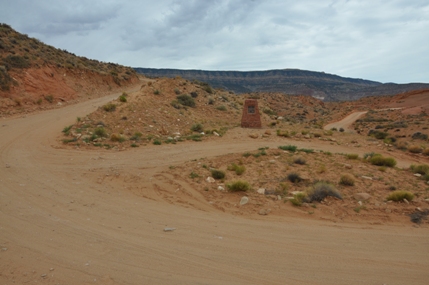
Just prior to the creation of Lake Powell, a party of 49, including Explorer Scout Post 36 from LDS Pleasant View 3rd Ward, Provo Utah, set out on an expedition to run the Colorado River rapids between Hole-in-the-Rock and Glen Canyon. Riding in an open truck, they reached this point at approximately 3:15 on the afternoon of June 10, 1963. The truck stalled as it ascended the grade on your left, and its breaks failed. Rolling backward, it overturned and rolled down the steep embankment on the other side of the sharp curve from this monument. Seven scouts and six adults lost their lives in this tragic highway accident, the third worst in Utah's history.
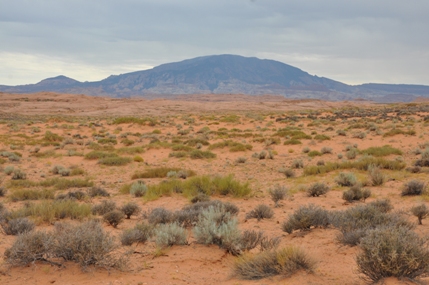
To the south is the rounded form of Navajo Mountain. Known geologically as a laccolith, this mountain was formed by igneous magma (molten rock) which pushed up under already-existing sedimentary layers.
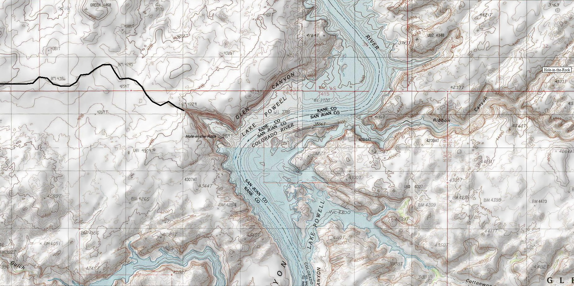
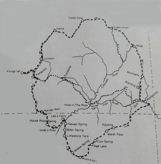
The short-cut instead of going around north or south
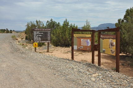
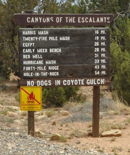
Signs at the start of the Hole-in-the-Rock Road
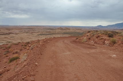
Near the end in the final few miles
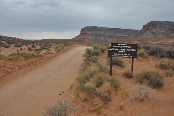
Entering Glen Canyon National Recreation Area


