
Dry Mountain
Distance: 2 miles
Elevation Gain: 2,800 feet
Summit Elevation: 9,865
Access: Ok road
www.WillhiteWeb.com: Hiking, Climbing and Travel
Access:
Route:
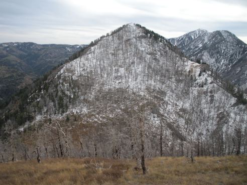
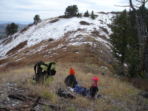
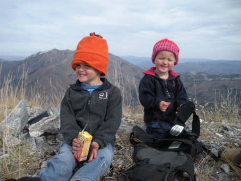
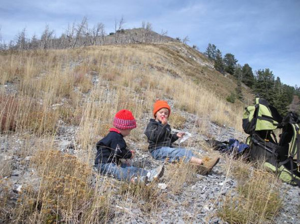
Few know where Dry Mountain is located but it's very prominent above I-15 and the town of Santaquin. It's also one of the more famous mountains in Utah as it gets quite a bit of exposure in the movie Footloose. Dry Mountain is number 97 on the top 100 prominence peaks of Utah list. This usually means the views should be outstanding, they are. Access is easy and the route quick enough I even carried my 4 and 2 year old up...a 80 pound suffer fest. A register placed in early 2009 revealed the peak received around 10 visitors by late fall 2009 (mostly local hunters and prominence chasers). County.
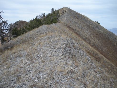
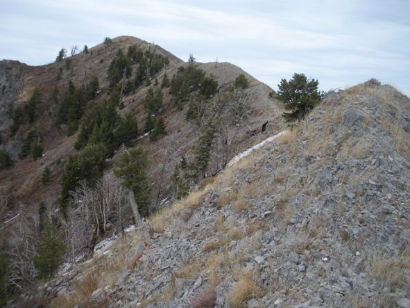
From the parking at the end of the road, walk through the gate saying the trail is open to everyone (including motorcycles) except ATV's. The trail is the old 4WD road until it reaches a flat saddle and trail split. Turn left and start up 4 switchbacks to reach the saddle between Dry Mountain and it's southern peak "Dry South". This is where the trail ends, although a trail is shown on USGS maps all the way up from this saddle to the summit. In a few sections, I did find the trail but it is almost gone. The terrain is mostly open and I was able to follow hunters/climbers/animal trails through all brushy sections. After 700 vertical feet of climbing and a false summit, you traverse a ridgeline that is surprisingly narrow at times. After some ups and downs (more ups), you reach the summit and hopefully a register.
There are two possibilities. The fastest is to take exit #244 (Highway 6 Eureka exit). Go east under the freeway taking a right on Highland Drive. Highland Drive will parallel the freeway going south about a mile. You'll hit a stop sign at Canyon Road. Go left here and travel up into the canyon. The pavement will end at Tinney Flat Campground. From here, a nice dirt road continues all the way up to the paved Nebo Loop Scenic Byway. To reach the trailhead, follow the dirt road past the campground about 1.7 miles. At Santaquin meadow, an unsigned rougher dirt road will branch left. Follow this road 0.5 miles to the end and the trailhead (or walk it).
If coming form the Nebo Loop Scenic Highway, turn off at a sign for Santaquin and Tinney Flat Campground. Follow the graded dirt road 2.9 miles to Santaquin Meadows and then turn right for the final half mile on the rougher dirt road.
Dry Mountain
Bald Mountain
Nebo
From West Mountain
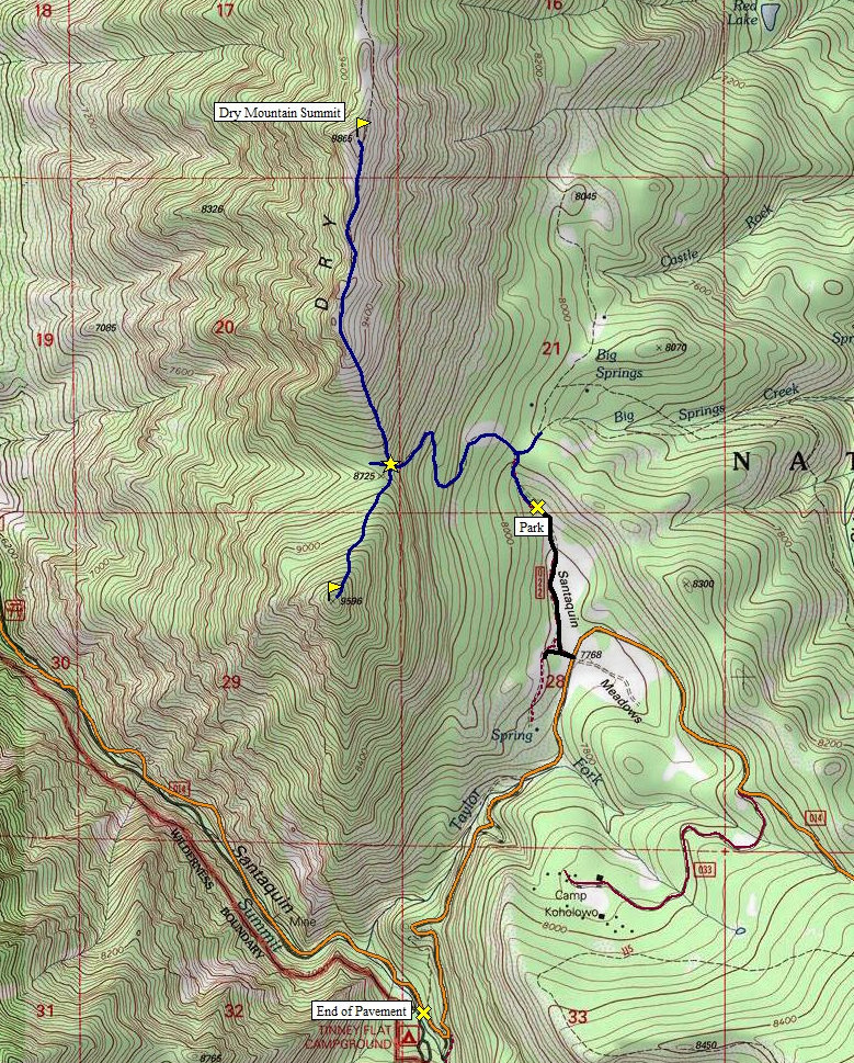
Map also shows easiest route up Peak 9596 "South Dry Mountain"
"Yes, our 125th summit in Utah!"
Loafer and Santaquin Peaks
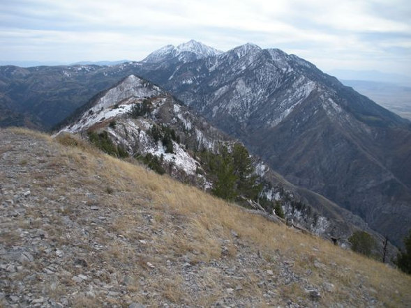
South to Bald Mountain and Mt. Nebo
The final ridge
Panoramic shot to the north with Utah Lake in distance
On the ridgeline
Working toward the true summit
Peak 9596 "Dry Mountain South"
Just above the 8,725 foot saddle, looking up to the false summit
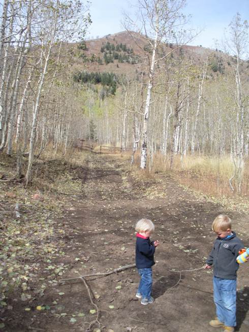
Kids on the trail...only made it to second switchback.
At the trailhead with the false summit in view
Spanish Fork Peak
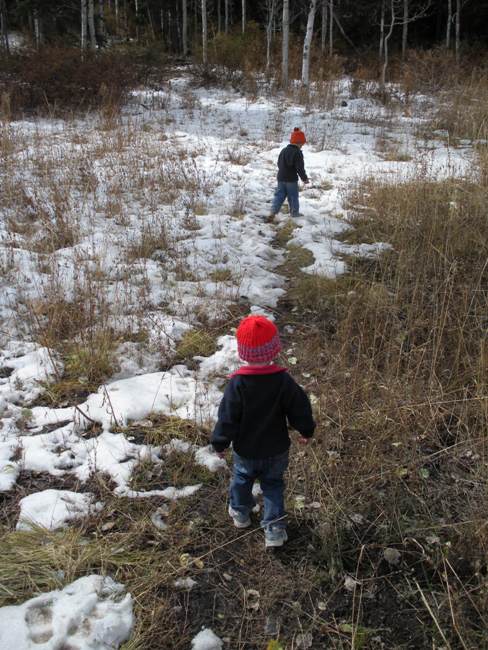
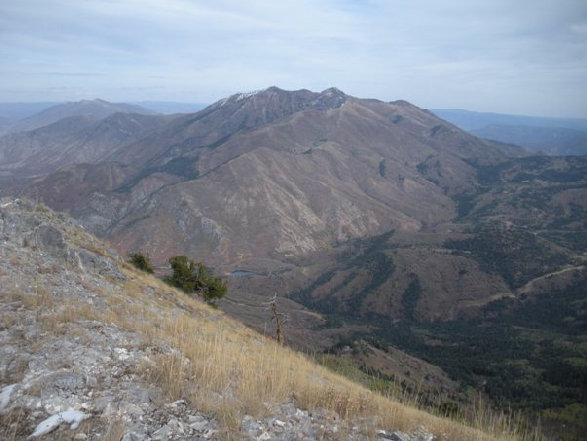
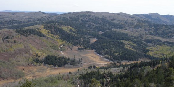

Looking east


