Chair Hill
Distance: 1.0 miles
Elevation Gain: 730 feet
Summit Elevation: 6,194
Access: Paved
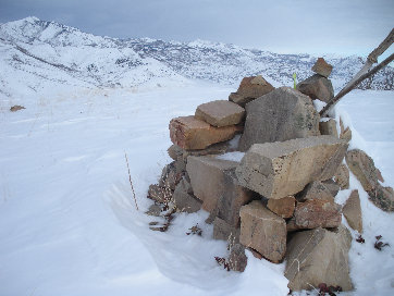
Few would consider this a mountain but it does meet the prominence criteria to count as an official summit in Utah. Thousands of people drive around this hill daily between Provo and Heber City as highway189 almost circles around it. This is a good winter trip because of good access, little avalanche danger and summer offers other much better options. If the snow isn't too deep, the summit has a really neat chair made out of stone.
Cross Highway 189 (the most dangerous part of the climb) to the access road to the Wallsburg Picnic Area. Walk up the road, past the picnic tables to the end of the developed area. You'll first have to go up and over a small mound before tackling the bigger one. Hike up East Ridge until you are at the summit. In summer, there is less brush on the south face and you can start the climb in the picnic area of course.
The Route:
www.WillhiteWeb.com: Your online resource for hiking, climbing and travel
Access:
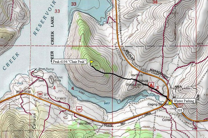
Take Highway 189 east from Orem or west from Heber City. When in the area of Deer Creek Reservoir, pull out the map and stop at the Wallsburg Picnic Area. In winter, park across highway 189 from the picnic area on the east side where Highway 222 (Main Canyon Road) goes east.
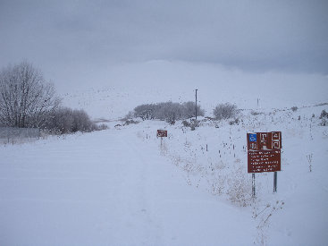
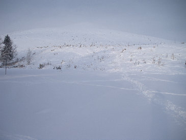
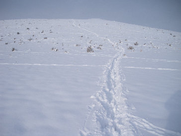
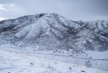
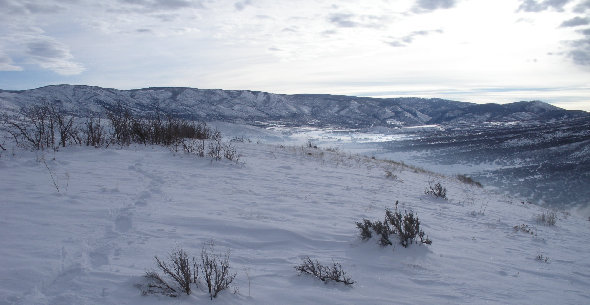
Road into the picnic area
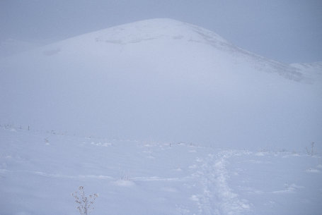
View from the end of the picnic area
Snowshoing over the first hill
On top of the first hill, looking at the summit
The summit chair with Mill Canyon Peak in distance
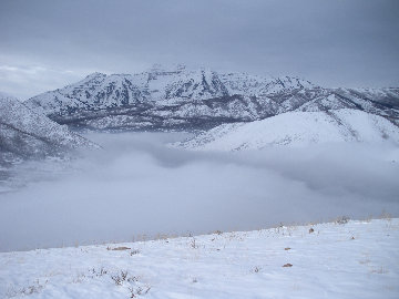
Mt. Timpanogos
Wallsburg Ridge
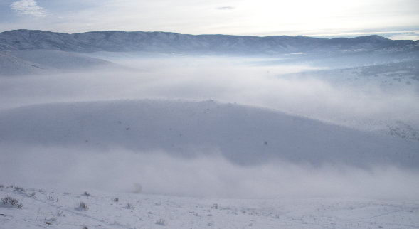
Looking down at the first hill you go up and over
Looking east from the summit into the Main Creek Valley


