
Corral Mountain is a 10,460 foot peak on the ridgeline south of Provo Peak. It is very visible from relatives in Mapleton, so it was on my radar for over 10 years before moving to Utah.
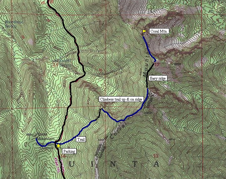
From the parking area, follow the ATV trail east as it climbs and traverses NE toward Corral Mountain. Eventually the trail will disappear while climbing massive erosion bars. Work your way to the north to a prominent ridgeline descending west. Because the other side of the ridge is quite steep, a hunters/hikers trail has formed here going all the way to the top of Corral Ridge. The trail continues north along the ridge most of the way to the summit. My climbing partner continued on to Provo Peak from Corral in 45 minutes, then descended 7,000 feet all the way down to Provo in time to attend a BYU game. Not a bad morning for him.
Distance: 2 miles
Elevation Gain: 2,000 feet
Summit Elevation: 10,460 feet
Access rating: Level 3 maybe 4
Corral Mountain
www.WillhiteWeb.com: Your online resource for hiking, climbing and travel
Access:
Route:
Drive up Provo Canyon (Highway 189) looking for a sign for Squaw Peak Road (near mile marker 9). Follow this narrow paved road until it splits. A sign points to the right for a city view overlook. Go left, road becomes gravel shortly after. Follow this until Rock Creek Campground where the gravel road now becomes rough. Continue around 2 miles up to a pass and trailhead parking for Provo Peak and Lion Head. From here, you'll see another pass over a mile away to the south. Drive to that pass and park in the large parking area on the east side of the road.
Corral Mountain from Horse Mountain
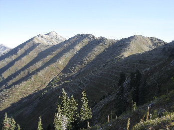
Corral still a bit far away
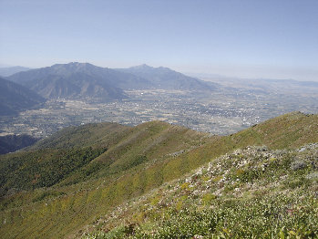
Looking south
Loafer
Nebo
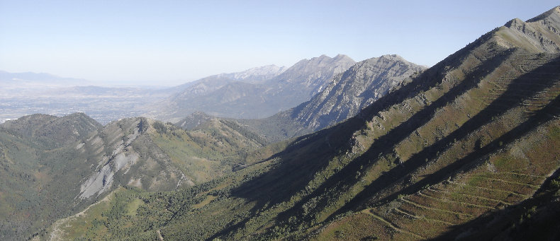
View BM
Y Mountain
Lion Head
Lone Peak
Mt. Timpanogos
Cascade Mountain
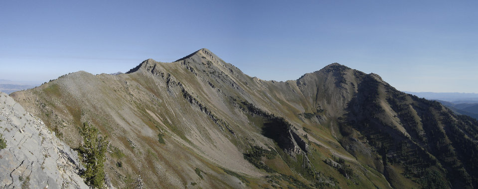
Provo Peak and East Provo Peak from Corral Mountain


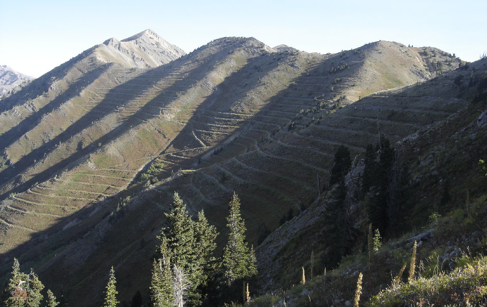
Look at all them terraces, Corral and Provo Peaks


