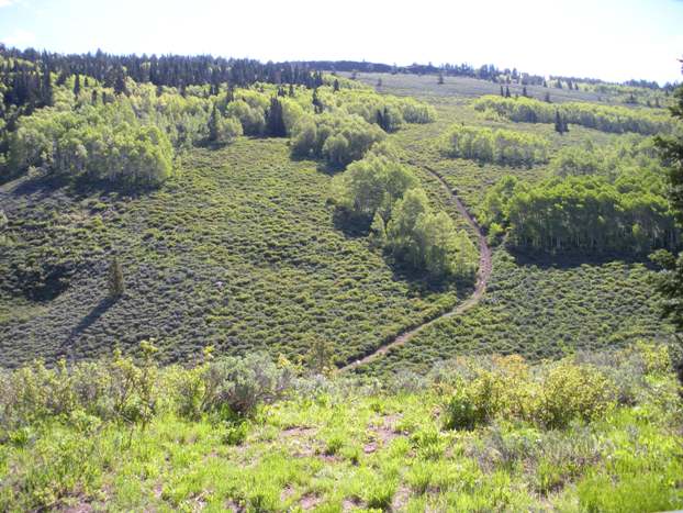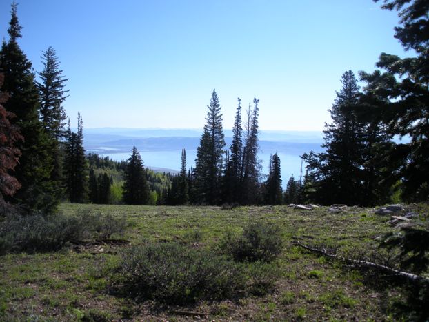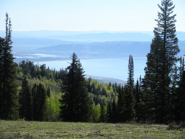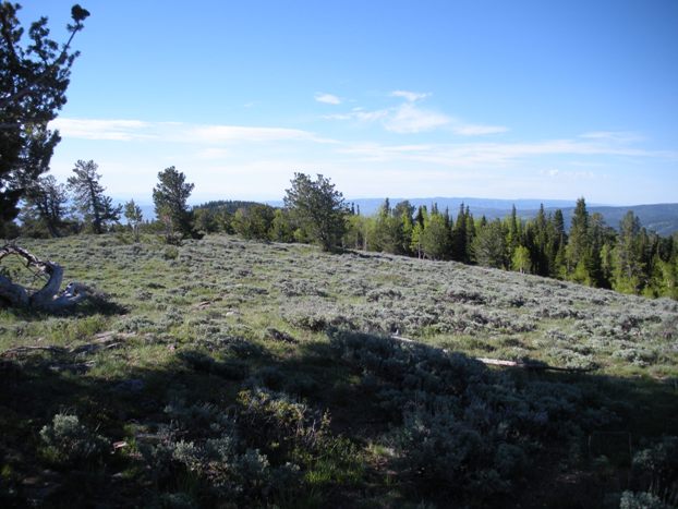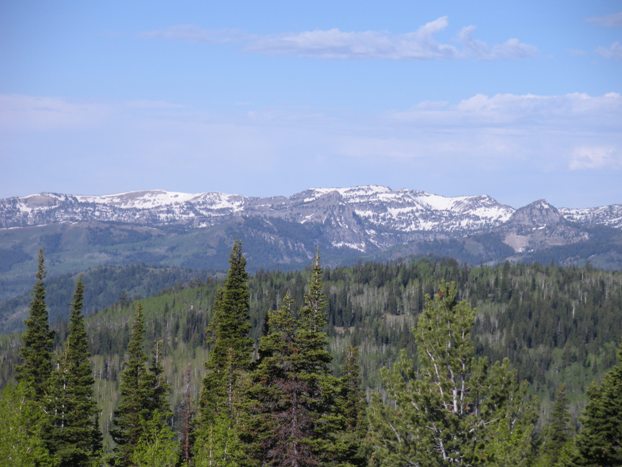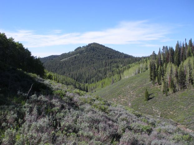
Bridger Peak is one of the most climbed mountains in the area because it is the Rich county highpoint. The summit is only feet shy of the Idaho border. Bridger is the lowest elevation county highpoint in Utah. But, it is the highest of the lowest for each of the 50 states! Although the summit has trees blocking views, the route up has views, especially east to Bear Lake and west to the Bear River Range.
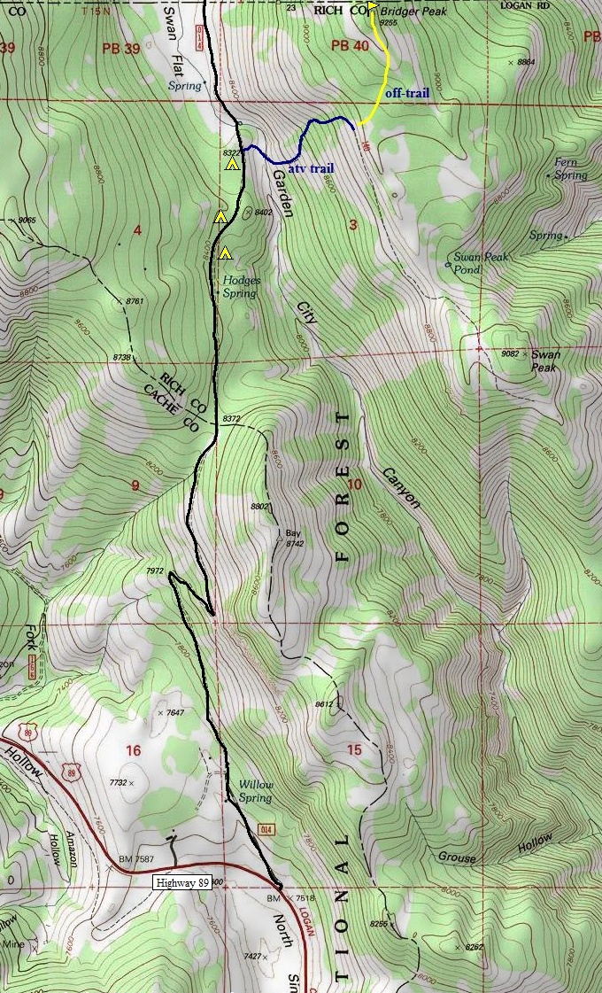
Take highway 89 out of Logan into Logan Canyon. Around 27 miles about three miles past the turnoff for Beaver Mountain ski area, watch for a UDOT road maintenance facility. After this, turn left on Swan Flat road. Take this dirt road for 3.5 miles. As the road is dropping downhill, you'll see some campsites on the left and just as you enter an opening, some small forest service signs on the right. Park anywhere here. An old road blocked by boulders takes off into the scrub brush on the right. This is the route.
Bridger Peak - Rich County Highpoint
Distance: 1 mile to summit
Elevation Gain: 1,100 feet
Summit Elevation: 9,255 feet
Access: Paved
WillhiteWeb.com
Access
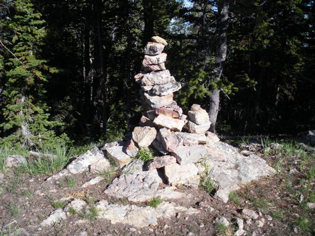
The ATV trail drops about 100 feet at first into a creek drainage. Then it climbs steeply out. This would be brutally hot if in the summer sun. But, the trail soon enters the forest and is shaded most of the way to the summit ridge. The trail will climb steeply to 8900 feet, then start leveling out as it works south to a ridge. As it does this, you can begin a cross-country trek to the north-east. Steep at first, then just a slight uphill rise until you reach the summit ridge. Much of this ridge is open. Keep going until you sense you are on the highest point. Look around for a big cairn. Find a large summit register inside. Also, take note on some features on your way up as the terrain looks similar all around.
Route
The ATV road near the start of the route
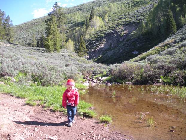
The creek crossing near the start
Summit cairn
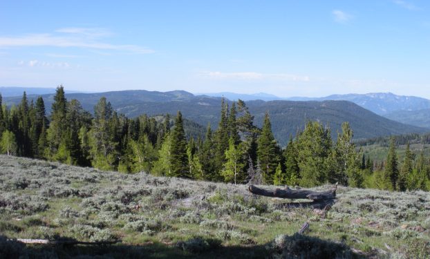
Looking south down the summit ridgeline
Looking southwest toward Temple Peak
Looking west to the Naomi Peak Wilderness
Bear Lake from the summit
Bear Lake
