Drive west from Salt Lake City on I-80 towards Wendover. Take exit 62 (Lakeside Military Area) and go north towards the Military Area on a paved road. You reach the Military Area in around 15 miles. About a mile before hitting the first signs of the base, look for a BLM sign on the left saying "Grassy Mountains, German Valley Well". Turn left on this gravel road. You could park at any point along this road to access the peak. As the map shows below, I drove west a bit, then cross country on easy terrain to within a half mile of the top.
This easy little hike offers big views over the Puddle Valley to the south and Hill Air Force Range to the north. It's appeal is in late fall or early spring when it should be snow free and has a paved road accessing it. The terrain is very easy so kids should have no problems here. Just minutes to the north of the summit is the fenced boundary of Hill Air Force Range so maybe you'll see some jets having a dog fight or something. Mostly, you'll get a great view and perspective standing between the Lakeview Mountains and the Grassy Mountains.
Peak 4895 "Puddle Valley Peak"
Distance: Half to one mile
Elevation Gain: 500 feet
Summit Elevation: 4,895 feet
Access: Any vehicle
www.WillhiteWeb.com: Your online resource for hiking, climbing and travel
Access:
Route:
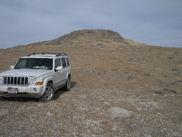
I chose to hike up the southwest side out of view of the pavement....just in case some military police had an issue with it. But, you could park off the pavement and hike up if the gravel road was snow covered. Whichever way you go, the terrain is easy. Near the top the hill gets steeper but still easy enough.


That's Hill Air Force Range facilities, you can see the base line in the foreground
Looking south across the Puddle Valley with the Lakeside Mountains on the left and my car down below
Looking west across German Valley to Round Mountain
Looking SW to the Grassy Mountains
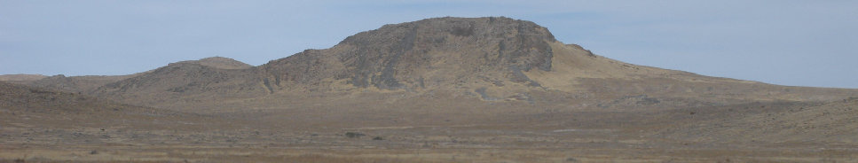
"Puddle Valley Peak" from the south
Hard to get lost finding your way up
Looking south