
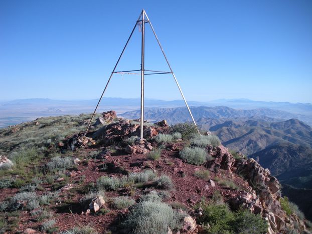
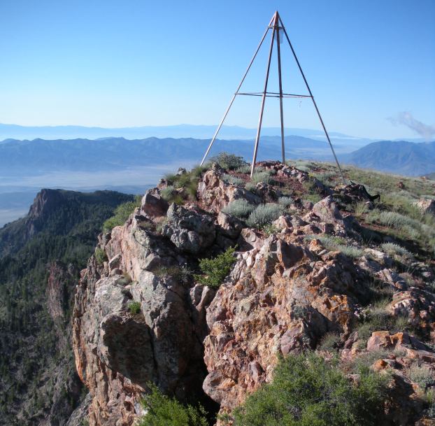
Just west of I-15 in central Utah near Scipio is the Canyon Mountains. The highest peak called Fool Creek Peak has a commanding view with over 3,700 feet of prominence. I was really impressed with this peak. It has a hiking trail to the summit so it gets a fair amount of visitors. An old survey triangulation station is on top as well.
Although everyone I know has been approaching from the south up North Walker Canyon, the north trail route up Buck Hollow could very well be the shortest route now.
Access:
Fool Creek Peak & Buck Peak
Distance: 3.3 miles
Elevation Gain: 3,200 feet plus 500+ if you do Buck
Summit Elevation: 9,712 feet
Access: Good for most vehicles
WillhiteWeb.com
Route:
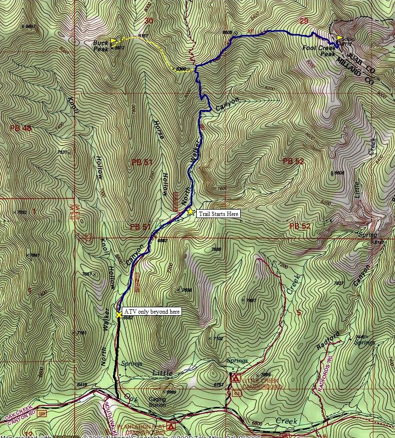
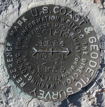
Follow the road that would be drivable had it not been for the road blocks. Shortly after the rocks, go left at the Y in the road. In about a mile, you reach the trailhead where even ATVs must turn around. The trail is gentle at first but quickly gets climbing and does not stop until it hits the pass at 8,200 feet. This is the saddle between Fool Creek Peak and Buck Mountain. A trail drops down the other side, the access from Buck Hollow. Views here hint of what is waiting on the summit. Follow the trail east as it climbs along a ridge. Here the trail goes up and even a few small downs. It is possible to even loose the route here as the trail often splits or disappears. If so, just look around, you will bump back into it. Once you reach 8,600 feet you enter a nice forest and have a shaded hike 1,000 feet until an open area just below the summit. Nearby forests almost to the summit could be a retreat if storms are in the area, so this can be a good hike if they are predicted. On top, veer over the east summit hundreds of feet straight down. Looks like something you could base jump. I think someone stole the main Scipio Benchmark.
For more adventure, back at the saddle head over to Buck Peak. It is a good steep scramble and I placed a register for you to sign. Game trails make most of the route easy enough.
From Oak City on the West side of the mountain range, take Center Street east into the mountains. Follow until the pavement ends at Oak Creek Campground. There is also a gate here that is probably the winter closure point. Continue on a nice dirt road 1.7 miles to an unsigned turnoff on the left. This is road 1653 and there may be a sign with that number. If you miss the turnoff, you will soon come to Plantation Campground, an amazing camping area among large pine trees. (I would love to know the history here...so unusual looking for the area I am guessing it was a plantation at one time). Back on road 653, you should be heading north into North Walker Canyon. After a mile or so your progress is blocked by boulders placed so no vehicles can pass....just ATVs. There is a sign warning about the narrow access just before a creek crossing. Park here where there is room.
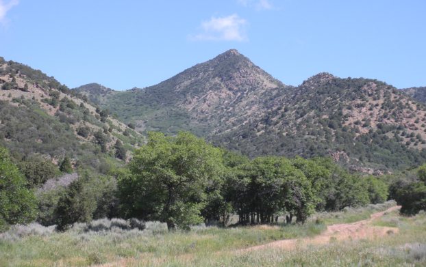
Buck Peak from near the start of road 1653
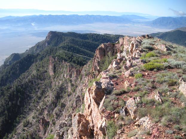
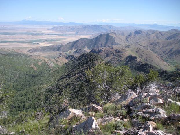
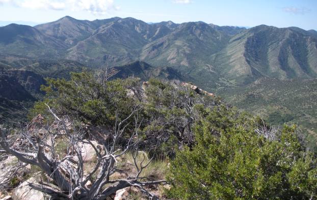
Looking south off the summit of Fool Creek Peak
Looking northwest to northeast off the summit of Fool Creek Peak
Looking south to northwest off the summit of Fool Creek Peak
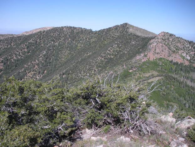
Fool Creek Peak from Buck Peak with saddle in center right of picture
The triangulation structure on the edge, looking south
The triangulation structure, looking north
Buck Peak from just above the saddle on way down from Fool Creek Peak
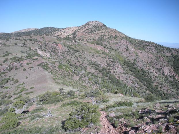
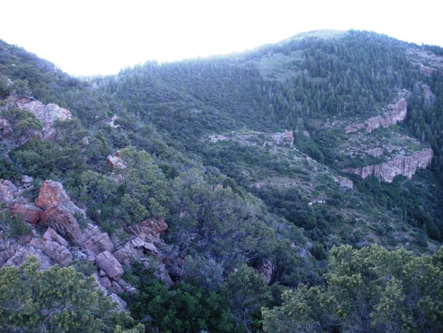
On the ridgeline working up Fool Creek Peak
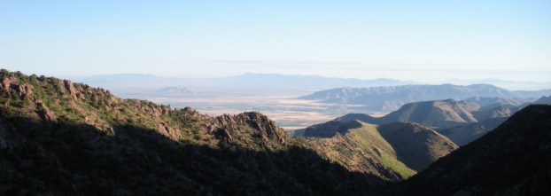
View south from the saddle
View north from the saddle
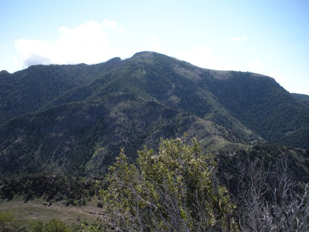
Fool Creek Peak from Highway 125


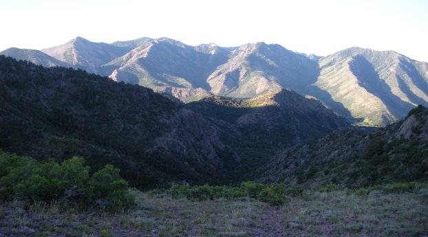


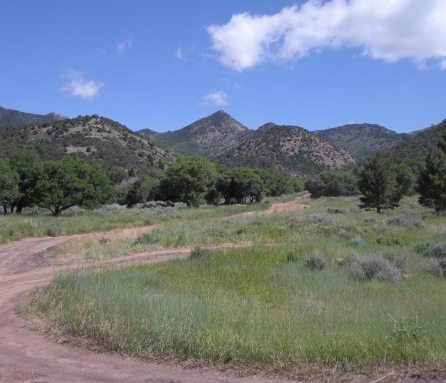
Buck Peak from the road
Scipio directional benchmark


