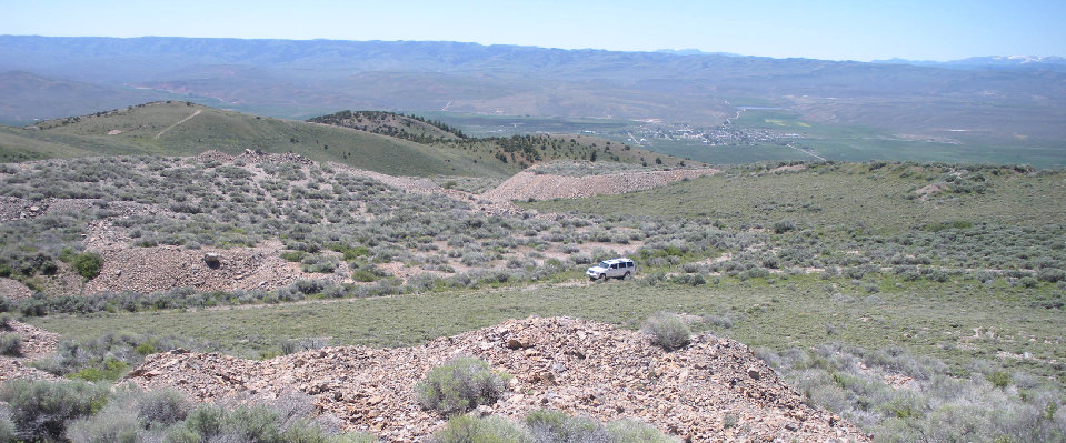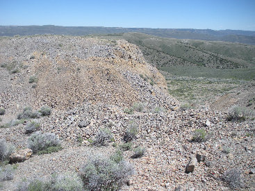
The highest point in the Crawford Mountains of Utah and Wyoming is Rex Peak. With 1,246 feet of prominence and no trees, the views are quite distant. Unfortunately, the nearby views aren't very good although they are a bit interesting. The summit area has been strip mined. The entire summit area is one big tailings pile so the peak is probably much higher than 7,996 feet now. A good road most any car could handle will take you within feet of the summit. Warning signs suggest walking around the Crawford Mountains with all the unstable mining slopes in the area isn't wise. The short trek up to the summit though looked safe.
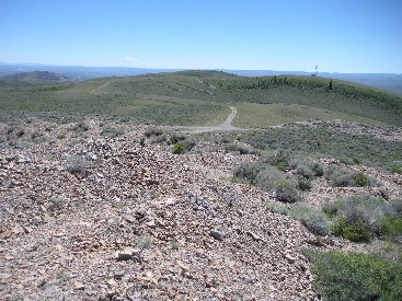
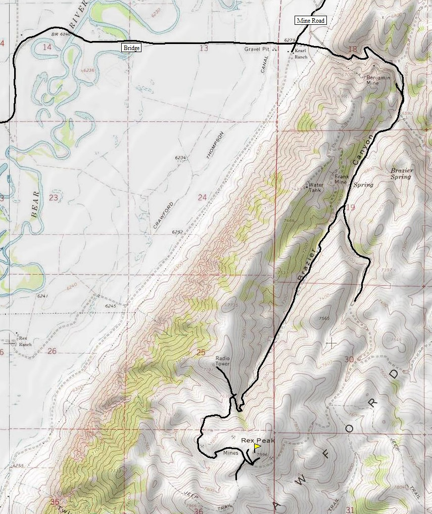
Just north of the town of Randolph Utah on highway 16, look for a sign saying Crawford Mountain Road. Follow it east toward the range for 5 miles. At the base of the range at 5 miles, cross Mine Road heading up into a canyon. Continue another 1.9 miles to a Y intersection. Both roads look good, both I believe go to the summit. I went right following this branch to the top. From the highest point on the road the summit is just feet to the north although the highpoint to the south with a tower will look higher.
Rex Peak
Distance: Drive-up
Elevation Gain: Drive-up
Summit Elevation: 7,996 feet
Access: Most vehicles
www.WillhiteWeb.com: Your online resource for hiking, climbing and travel
Access
Rex Peak from south of Randolph


Burdneau Peak
Mt. Elmer/Jardine Peak area
Naomi Peak area
Looking west to the Bear River Mountains
Looking north
The route from the car to summit, looking SW to Randolph and the Monte Cristo Range
Looking south to a plateau slightly lower
Summit mine tailings
Looking south with the distant Uinta Mountains and Narrows Reservoir in Wyoming on the left


