Timms Hill, Wisconsin
State Highpoints
Distance: 300 yards
Summit Elevation: 1,951 feet
Elevation Gain: 130 feet
Access: Paved
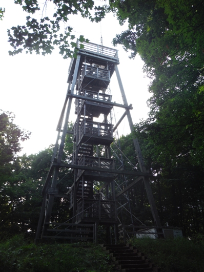
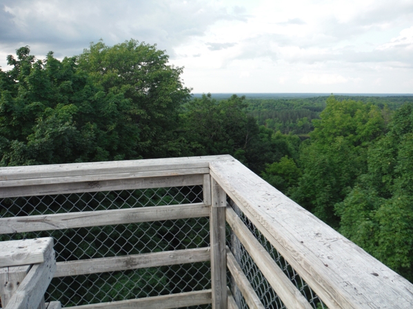
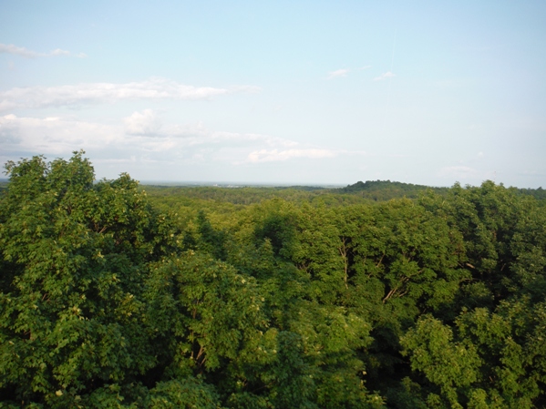
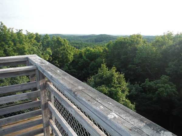
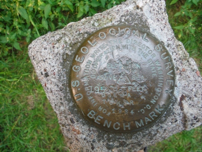
The highest point in Wisconsin is reached by a short trail but long drive from anywhere. At the top is a wood observation tower that reaches views just above the forest canopy. There is also a metal tower. The USGS benchmark is located under the metal tower. Timms Hill is the only state high point that is a county park. It also boasts being half way to the North Pole. The hill is named for Timothy Gahan who owned a logging camp on nearby Timms Lake. Timms Hill was last logged in 1944. Price County purchased much of the area in 1978 and completed the park by 1983.
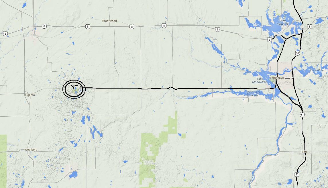
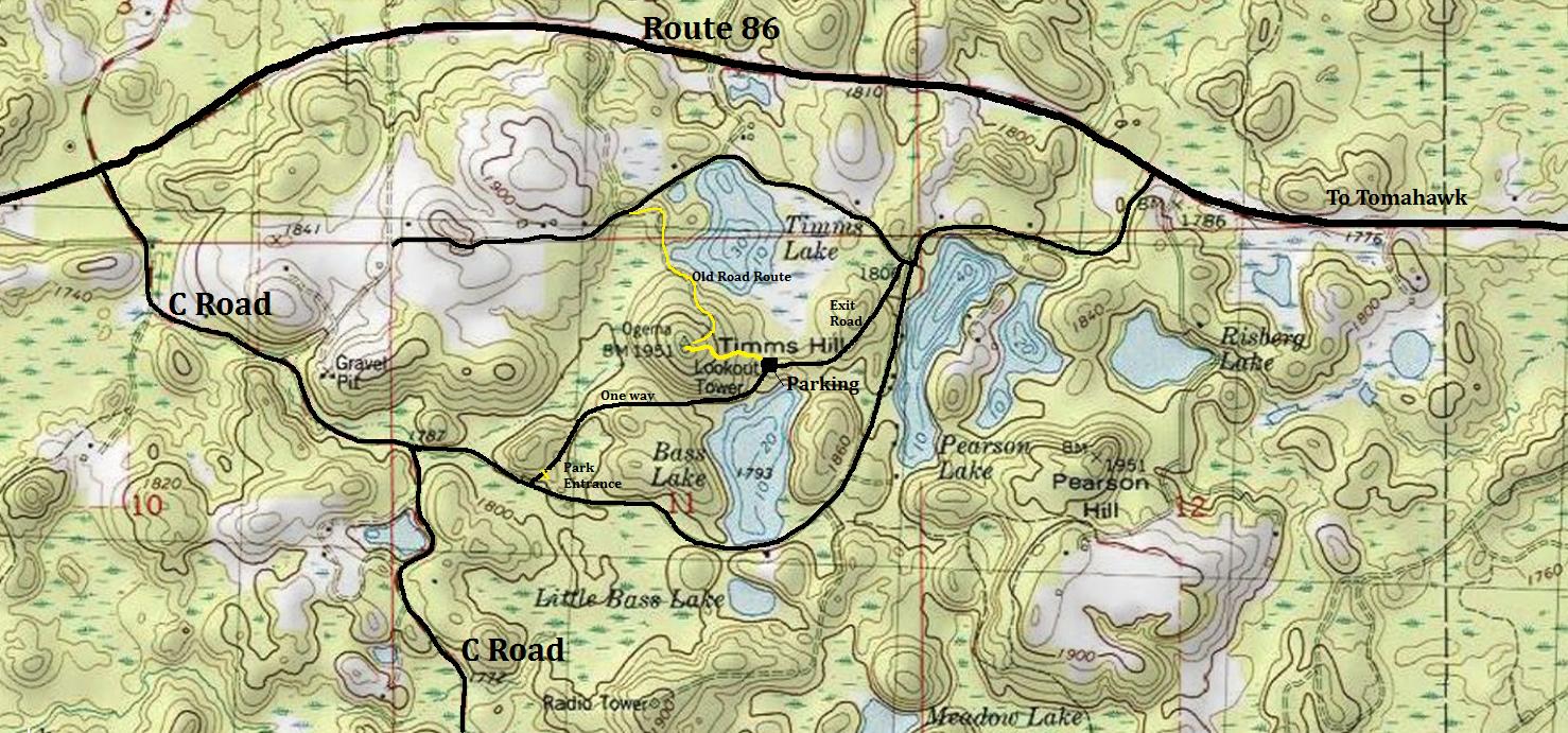
From Tomahawk, take route 86 roughly 26 miles to County Road C. A sign points to Timms Hill County Park. Follow Road C to a signed left turn towards the park. Another left shortly after is the entrance and gate for the park. Drive up to the parking area. The park is open from around 8 a.m. to dusk, when it is gated. In winter, you can ski or snowmobile up the roads within the park.
Access:
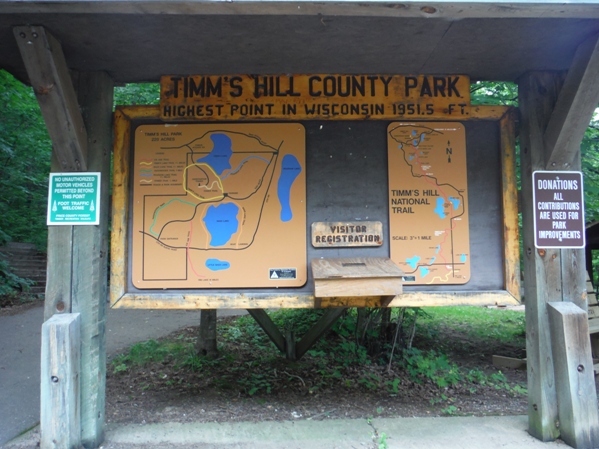
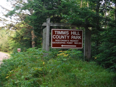
Entrance sign for Timms Hill County Park
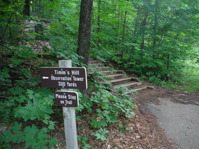
Trailhead to Timms Hill tower
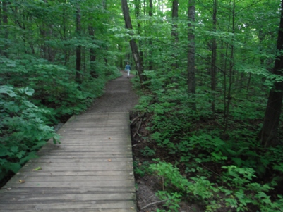
On the trail
USGS marker
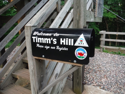
Summit Register in 2014
Wooden observation tower


