Eagle Mountain, Minnesota State Highpoint
Minnesota State Highpoint
Distance: 3.5 miles
Summit Elevation: 2,301 feet
Elevation Gain: 600 feet
Access: Good Gravel Roads
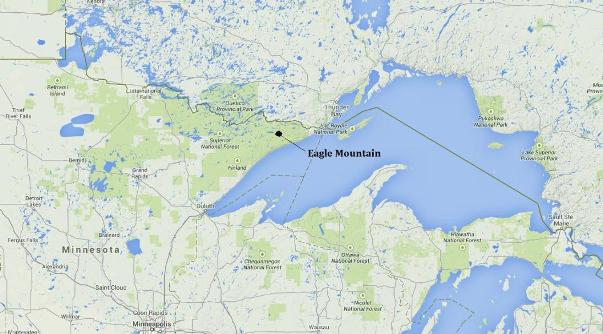
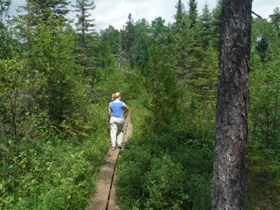
The highest point in Minnesota is located near Canada in the Boundary Waters Canoe Wilderness. It is the northernmost highpoint in the 48 contiguous states. Although reaching this state highpoint is a long drive, at least it is a scenic one on the north shore of Lake Superior. Eagle Mountain is reached by an easy 3.5 mile trail through some mosquito infested territory. Even hiking at full speed, we were bitten many times (we forgot our repellent). Along the way, the trail passes Whale Lake, several marshes, and a few viewpoints, between trees of spruce, birch and balsam. The summit itself has no views but does have a large plaque on a rock. Good views can be found just before reaching the summit. The trail through the bogs is on boardwalks so with tennis shoes, we stayed dry and clean on an August trip. Whale lake looked to have some campsites on the opposite side, although in summer a permit is needed to camp.
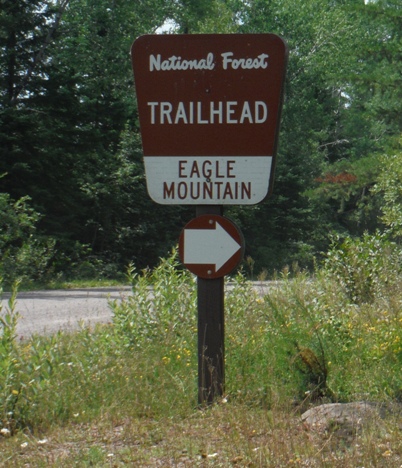
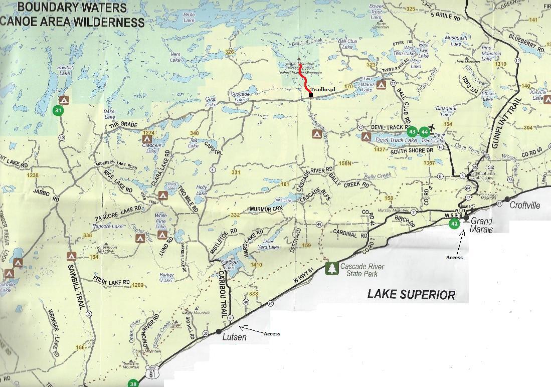
A good recreation map of the roads is at the bottom of this page. On the north shore of Lake Superior are the small towns of Lutsen and Grand Marais. Both have roads nearby that go into the forest and reach the trailhead. We took County Road 4 (the Caribou Trail) one mile north of Lutsen for 18 miles to a T intersection at FR 170. We turned right on Forest Road 170 and in 3.8 miles found the sign and trailhead for Eagle Mountain.
Access:
Just follow the trail to Whale Lake. After walking along the side of the lake for a distance, there is a trail split. Go left and follow it up to the summit. At the top are several social trails. One leads a short distance to the plaque at the very highest point.
Route:
When Newton H. Mitchell, Minnesota's State Geologist and Ulysses S. Grant (the President's son) surveyed this area in the 1890's, they concluded that a peak in the Misquah Hills was the state's highest point. Using an aneroid barometer, they set the elevation as 2230 feet. Later comers argued that Eagle Mountain, which Mitchell and Grant did not measure, and which can be seen from the Misquah Hills, was higher. In 1961, a United States Department of Interior survey team remeasured, using aerial photographs and controlled bench marks. They found Eagle Mountain's elevation to be 2301 feet making it Minnesota's highest point. They also determined that the first Misquah Hills highest peak is surpassed by another unnamed summit 2266 feet above sea level located in section 19 of T63 N R1 W in teh same western Cook County area. The state's lowers point is on Lake Superior which has an elevation of 602 feet. The igneous rock composing Eagle Mountain is as old as Duluth gabbro which geologists estimate at over a billion years in age.
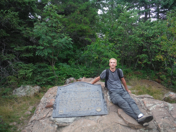
Plaque on top says:

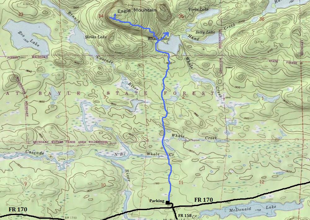
Trail is approximate
Location of Eagle Mountain
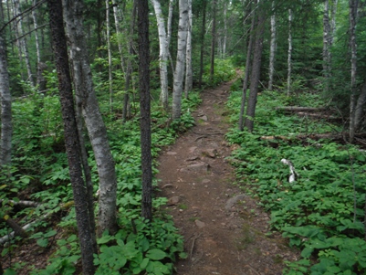
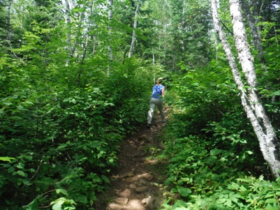
Trail through the forest
Trail through the marsh
Trail through the bog
Lots of underbrush
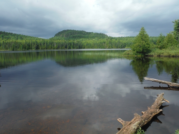
Whale Lake
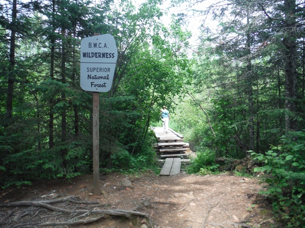
Entering Boundary Waters Canoe Wilderness
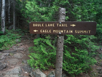
Sign at the trail split at Whale Lake
On the summit
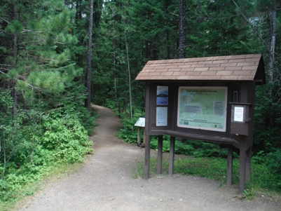
Eagle Mountain trailhead
Sign for the trail up Eagle Mountain
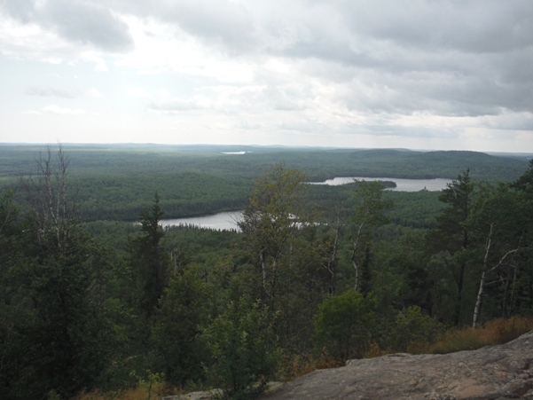
Views near the summit
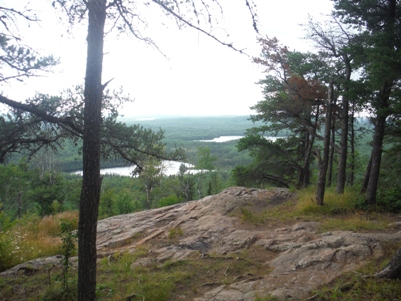
Viewing rocks


