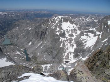
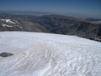
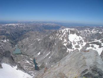
Gannett Peak is the highest peak in the Rocky Mountain range outside of Colorado and is considered by some to be the most difficult state high point except for Mount McKinley in Alaska. It's also surrounded on three sides by four different glaciers; Gannett (north side), Minor (western side), Dinwoody and Gooseneck (southeastern side). Gannett Peak is also the most remote state highpoint in the lower 48 states, situated deep in the Wind River Range. There are two main routes to the mountain, the easiest is longer but avoids having to climb up and over a large steep mountain pass. The route I took was the faster "standard" route but the pass turned out to be a real pain. For most, it is a 2 day hike to the base of the pass, then a day to climb the peak, followed by another day or two out. I only had 3 days so it was 18.5 miles in the first day in order to ascend the mountain the following morning.
Find your way to Pinedale, Wyoming. On the east end of town at the road bend, is Fremont Lake Road heading north into the Winds. Take this road 14 miles to the end at the large Pole Creek Trailhead and Elkhart Ranger Station and campground.
Gannett Peak - Wyoming Highpoint
Distance: 52 miles RT (Titcomb Basin/Bonny Pass Route)
Elevation Gain: 6,000+ feet RT
Summit Elevation: 13,804 feet
Access: Paved
WillhiteWeb.com: Hiking, Climbing and Travel
Access
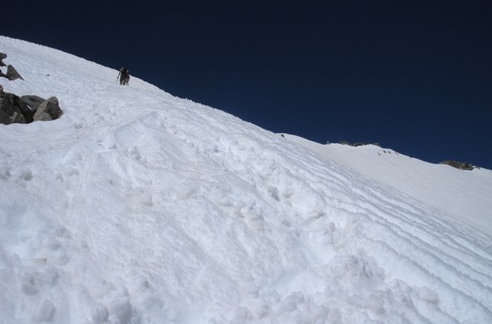
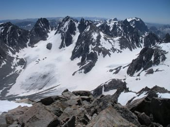
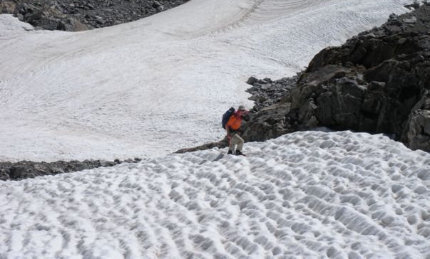
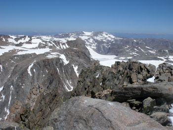
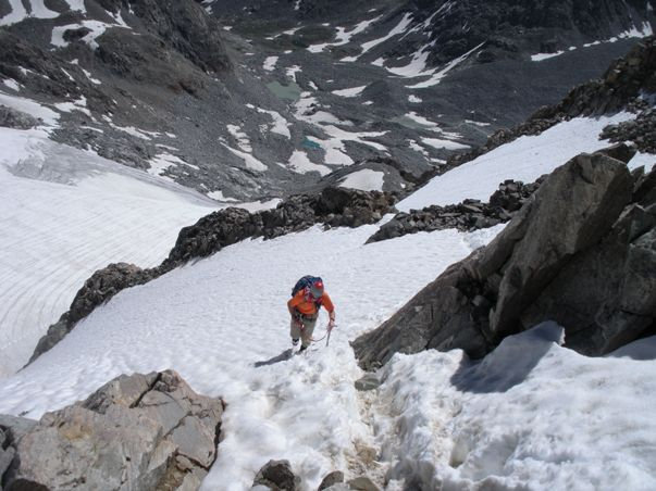
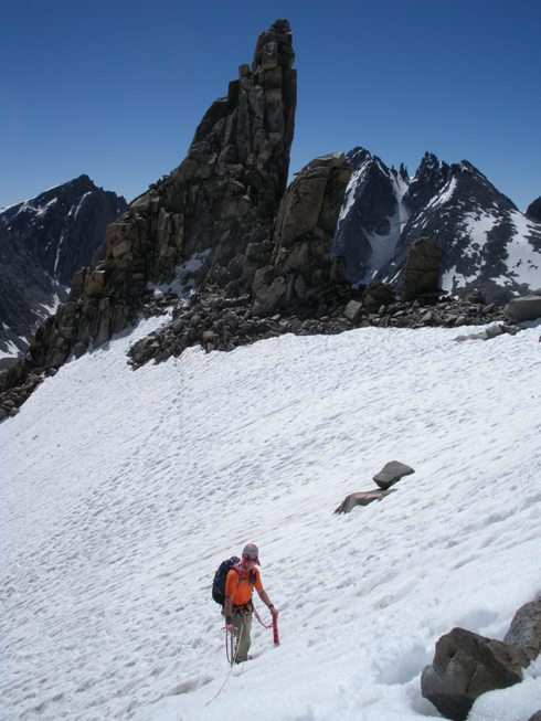
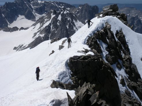
The trail will take you through forests for several miles before it begins opening up to numerous lakes and meadows. The trail goes over several passes, none to large but you will be doing some slow hiking back over them on the way back. As you get closer to the climbing route, the trail just becomes more and more scenic until you end up in Titcomb Basin, a massive amphitheater full of rocky cliffs, spires and snowfields. Because summit day is long, climbers start at all hours of the night working their way up and over Bonney Pass. The pass was snow filled for us on July 24th with steep hard snow at the top end. Crampon and ice axe experience a definite necessity. From the pass, the route drops down 1,100 feet to the Dinwoody Glacier. Few crevasses to deal with made for quick travel. The route finally begins climbing toward the summit between the Dinwoody and Gooseneck Glaciers on Gooseneck Ridge. This was fairly easy mountaineering terrain. The crux is always reported as a burgschrund just below the Gooseneck Pinnacle on the NW side of the ridge. Turned out the schrund wasn't even separating except one spot and you could have walked out if you fell in. Once on the ridge just west of Gooseneck Pinnacle, it's an easy ridge scramble to the snow on the summit ridge. This was our crux. It wasn't difficult but one mistake and you would have about 2 seconds to self arrest or death. The summit was roomy and safe to walk around.
Route
Given the conditions, I would have easy been able to solo the route as many have done. Even if the burgshrund was bad, the rock didn't look that difficult to get around and several repel sites are just above the burgschrund. No permits are needed to climb. Most climb in July or August, many have turned back in June if they encounter too much soft snow on the approach. I was extremely skeptical beforehand that this climb was harder than Rainier and considered the second most difficult state highpoint. Now I would have to agree, considering the approach into the outing, Gannett would be harder overall.
Other
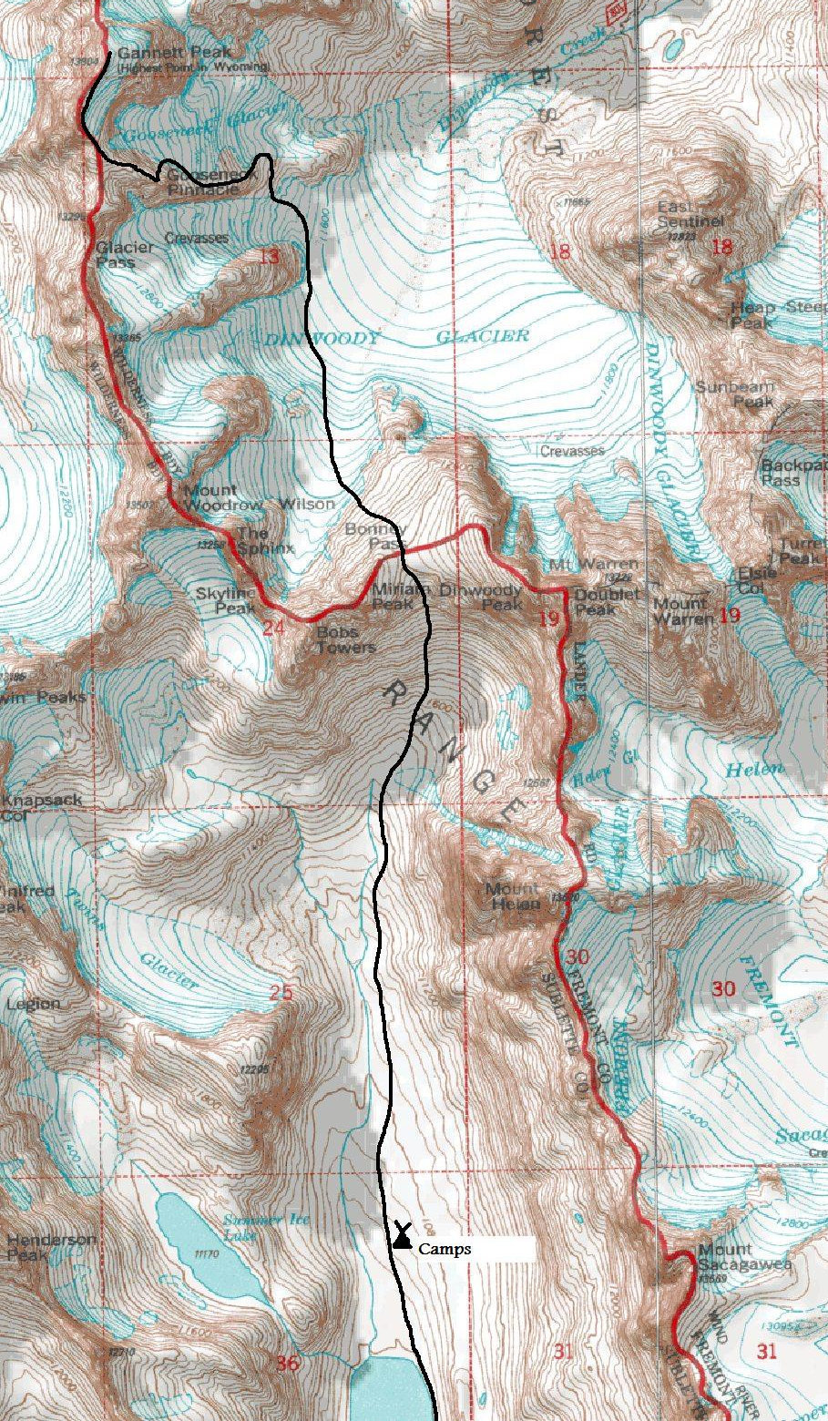
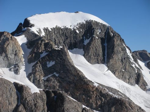
Gannett Peak from Bonney Pass
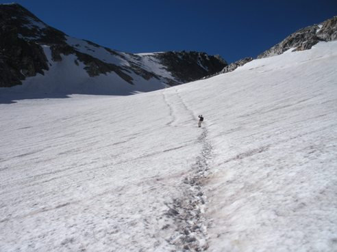
On the Dinwoody Glacier looking back at Bonney Pass
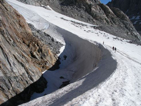
At the head of the Dinwoody Glacier
Gannett Peak, Mount Woodrow Wilson and The Sphinx from Bonney Pass
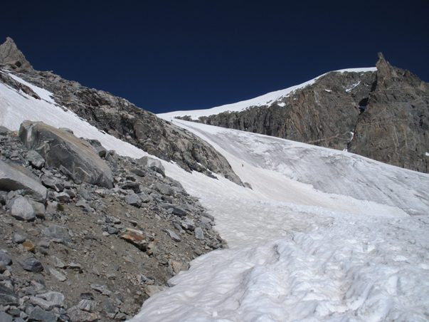
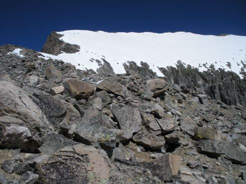
Looking up from Gooseneck Ridge at 12,000 feet (2 climbers on glacier on left)
At 12,300 feet ascending snow (came down class 3 rocks on right)
Above the bergschrund with Gooseneck Pinnacle behind
Reaching the ridgeline west of Gooseneck Pinnacle
Upper Gooseneck Ridge with summit on far right (2 climbers on snow upper left)
Final snowslope to the summit ridge
3 climbers going down the summit ridge, photo from the summit

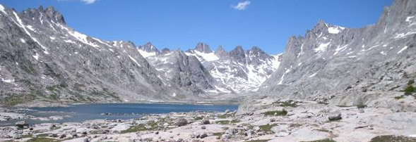
On the approach to basecamp
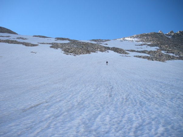
Climbing down over Bonney Pass
