
Vickory Mountain
Hiking Distance: 4.5 miles
Elevation Gain: 3,850 feet
Summit Elevation: 10,330 feet
Access: Paved
WillhiteWeb.com
Access:
Route:
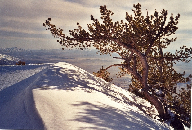
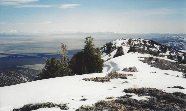
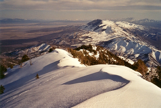
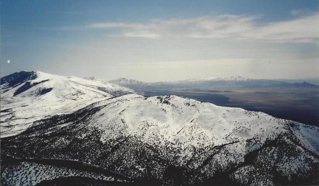
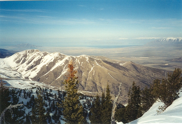
Long before I ever moved to Utah, I found myself driving toward the Stansbury Mountains looking for something to climb. It was winter. I was unfamiliar with the area but found that paved highway 199 accessed Vickory Mountain from the south. This south ridge route ended up a long hike but the views the entire time (to a Washingtonian) were unlike anything I had ever experienced. Vickory Mountain is the southern most peak in the Stansbury Range and this route probably is not the fastest but it makes a nice winter option.
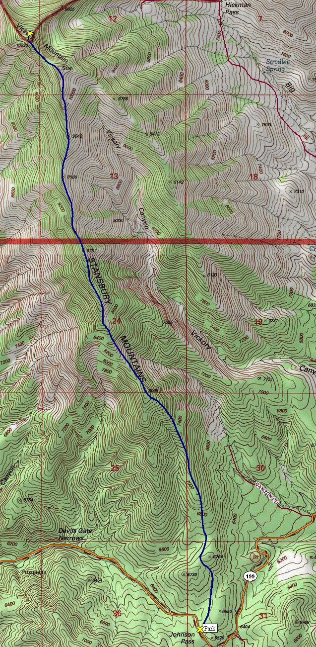
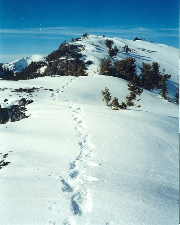
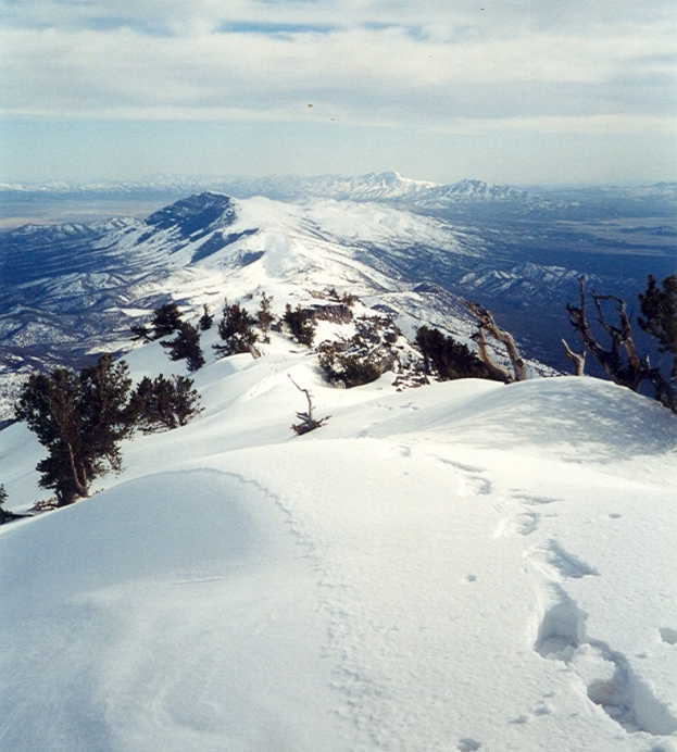
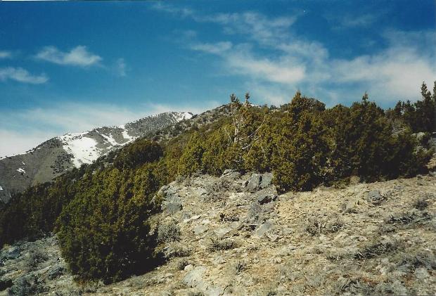
Starting at Johnson Pass 6,480 feet, climb up through junipers over or around a minor hill. Continue climbing as the ridge slowly narrows into a nice defined ridgeline. In winter, at some point you will need to strap on your snowshoes as the ridge gets lots of snow. There are a few false summits before reaching the top.
Take Hwy 73 east out of Lehi or Hwy 36 south out of Tooele. Follow Hwy 199 west through Rush Valley up to Johnson Pass. Park wherever; the ridge could be accessed from any point near the pass.
Looking south to the Onaqui Mountains
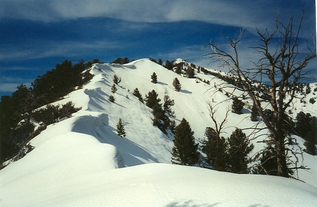
Hiking the ridgeline
A long snowshoe
Oquirrh Mountains
Northeast to Bald Mountain
Looking back to the summit
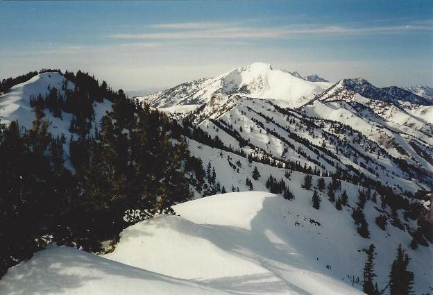
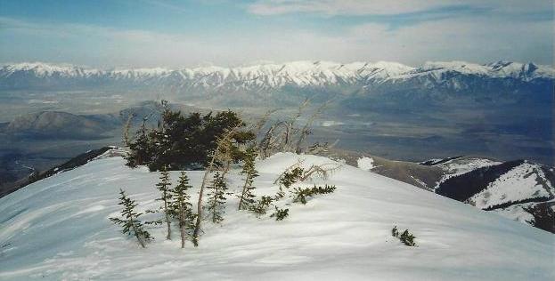
Looking north to Deseret Peak
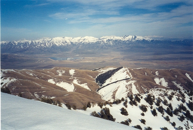
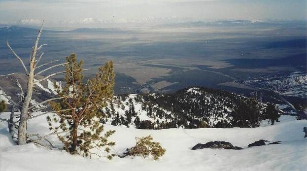
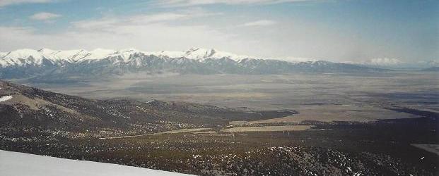
Looking south to Onaqui and Sheeprock Ranges
Rush Valley and Vickory Mountain
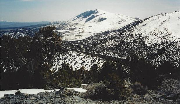
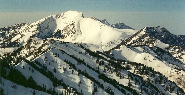
Looking down to Johnson Pass
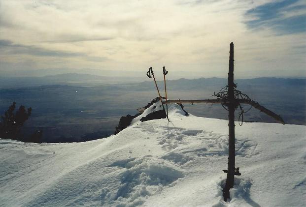
The summit of Vickory Mountain
Onaqui Mountains
Near the highway below the snowline


