
Named for the small town at the north end of the Stansbury Range with it's limestone quarries, Flux Peak is the most northern peak in the range. Flux doesn't have much going for it. Access is long, the terrain isn't that nice and the whole mountain was burned bad in a fire several years ago. So the highlights are a fairly remote climbing experience and a summit with an outstanding view of the Great Salt Lake and surrounding ranges.
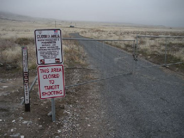
From Salt Lake City, take I-80 east toward Reno passing the north end of the Oquirrh Mountains and the Stansbury Mountains. Once that is done you see signs for the highway 196 Timple Exit. Go under the freeway and go south for 5.9 miles. There on the left is a BLM road going up Muskrat Canyon. At this time it is gated at the highway (due to fire damage restoration) so the route description will start there.
"Flux Peak"
Distance: 4.7 miles
Elevation Gain: 3,700 feet
Summit Elevation: 8,003 feet
Access: Any vehicle
www.WillhiteWeb.com: Your online resource for hiking, climbing and travel
Access
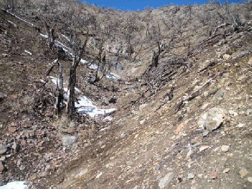
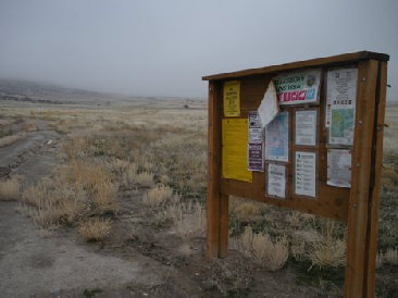
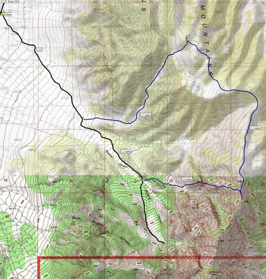
Walk the road a quarter mile to a power station. Look for the BLM road out of it's parking lot. Not much further you'll pass a BLM kiosk. The total distance needed to walk on the road is 2.25 miles. There you should see two draws separated by a small ridge (see map). Take the left draw going cross country through easy terrain for almost a mile until the draw curves north and narrows. Fortunately, much of the creek has a nice side path so the going is easy. Everything burned here so the brush is minimal. The draw will guide you up steeper and steeper until you reach a pass just below the summit. Snow in this section would make the scree easier and the terrain more scenic as it has a moonscape look. From the pass, drop 50 feet and climb an easy 500 feet to the summit.
Route
Flux Capacitor Loop
If you've got 1.21 gigawatts of extra energy, a scenic loop for great views of the east side of the Stansburys can be done as shown on the map below. The access ridge out of the valley to point 8625 goes over a bit of class 3 rock with minimal exposure. This route was intended to access Onaqui Benchmark but proved to be a bit more than we were looking for that day.
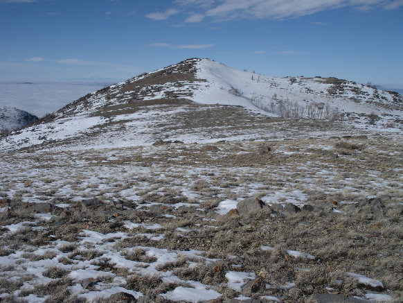

From the southeast
Gated road from the highway (under fog layer)
BLM sign
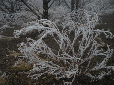
Below the fog layer everything had rime
The route described, it's one ugly climb
Final climb to the summit from the east
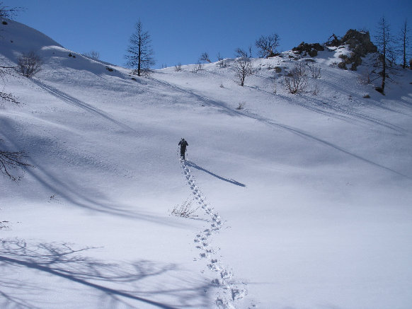
The pass 500 feet below the summit, we are on our way down
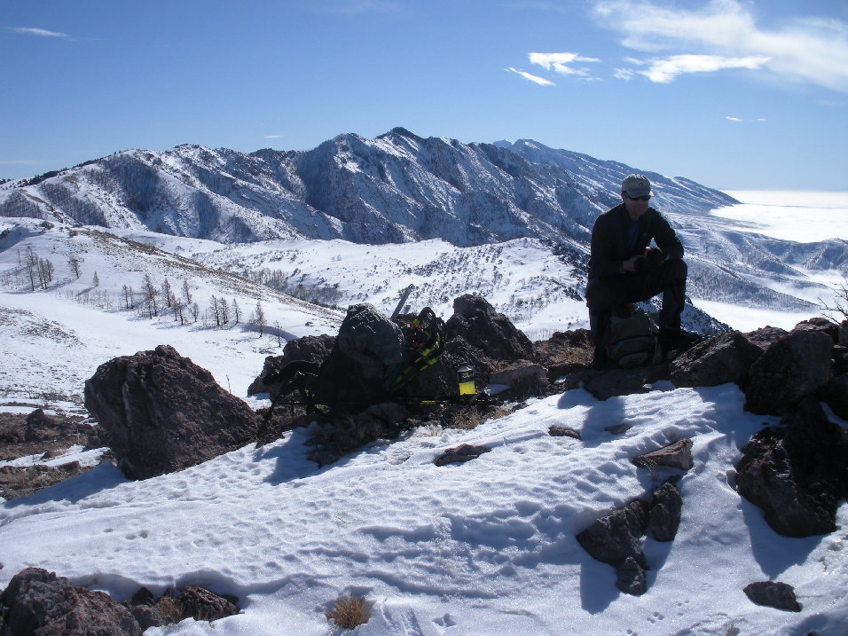
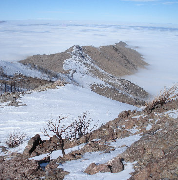
From Flux, looking at the very north end of the Stansburys
Point 8625
Onaqui Benchmark
View of the west slopes of the Stansbury Mountains from the top of Flux Peak
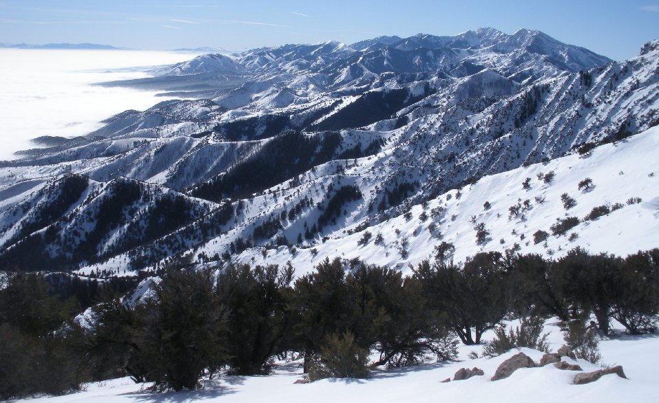
View of the east slopes of the Stansbury Mountains from the top of Point 8625
Oquirrh Mountains and a sea of clouds from near Point 8625


