1936 Tract deeded to State by the White River Lumber Company
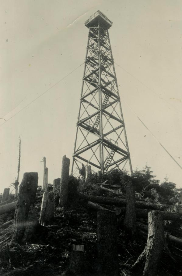
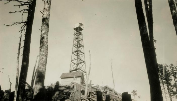
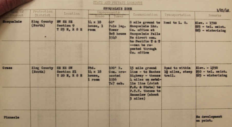
1937: 105 foot wooden tower was erected with 7x7 cabin. The ground house was one room 14 x 18 feet.
1938: Rodney Ruflroyd worked 6/4/38 to 9/25/38
1939: Rodney Bootfhroyd worked 6/15/39 to 9/22/39
1941: Merline Barker worked 7/2/41 to 8/3/41
1942: Howard & Tholmia Bealieu worked 3/1/42 to 10/16/42 & AWS
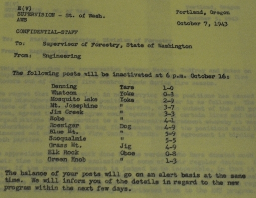
1942: Cicil & Mabel E. Tibbets worked 10/20/42 to 12/6/42. The army used the site for AWS during the war,from March 7, 1942 to October 16, 1943. The AWS added a portable 14 by 32 cabin. There was a road to within 1.5 miles of the top.
1943: Mabel E. Tibbets worked 1/1/43 to 2/26/43
1943: Daniel & Vivian Bigelow worked 2/1/43 to 5/26/43 including AWS 7/31/43 to ?
1943: Claude & Lillien Frost worked 3/1/43 to 7/18/43 including AWS
1943: Jacob & Elma Griss worked 7/16/43 to 9/30/43 ICA
1943: Ralph & Helen Matthews worked 9/19/43 to 9/30/43 ICA
1943: Gertrude Beeber worked 6/7/43 to 6/12/43 ICA
1943: Corrine Linder worked 7/24/43 to 7/31/43
1943: Bessie Mckinley worked 8/1/43 to 8/31/43 ICA
1945: Harold B. Sulton worked 7-5-45 to 9-5-45
1946: Mary Roberge worked 6-14-46 to 9-30-46
1947: M. Ethal Fetch worked 5-20-47 to 9-30-47
1948: Orril E. Matson worked 6-1-48 to 9-30-48
1949: Orril E. Matson worked 6-1-49 to 10-6-49
1950: Hestor Harr worked 5-15-50 to 9-14-50
1951: Orril E. Matson worked 4-14-51 to ?
1952: Orril E. Matson worked 5-1-52 to 10-21-52
1953: Albert Miller worked 5-13-53 to 9-30-53
1954: Albert Miller worked 6-1-54 to 9-28-54
1955: Albert Miller worked 5-25-55 to 10-10-55
1956: Albert Miller worked 4-27-56 to 10-10-56
1957: Evelyn Olson worked 6-6-57 to 8-30-57 (drowned later in a swimming pool)
1957: The ground house building from 1935 was very weathered.
1958: Frank Furnish worked 9-7-50 to 10/15/58
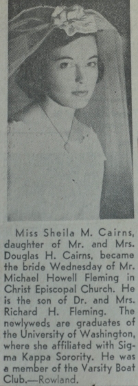
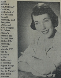
1958: Sheila Cairns worked 7-9-50 to 9-7-58
1958: July 2nd, Tower was cut to 70 feet and a DNR live-in cab was added on top.
1959: Sharon Hanson worked 6-22-59 to 9-20-59 (UW gal)
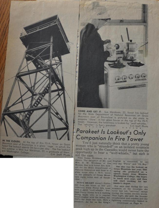
1960: Susan Weidman worked 6-11-60 to 9-21-60
1960: New Privy, painted tower
1961: Susan Weidman worked 6-13-61 to 8-26-61
1961: Ester Heusel worked 9-3-61 to 10-4-61
1962: Joyce Griffith worked 6-6-62 to 9-13-62 (SDA gal)
1962: Ground house was sold and torn down to make way fro FAA Tower.
1962: Painted tower
1963: Lynn Struve worked 6-12-63 to 9-20-63 (Auburn UW 4.0 student of Chinese)
1964: Margaret Guthrie worked 6-17-64 to 9-20-64 (from Burien)
1964: Repaired Counterweight, painted tower & treads
1965: Margaret Guthrie worked 6-14-65 to 8-26-65
1965: Painted inside cabin & decks sanded
1966: Joyce Broyson worked 6-16-66 to 10-14-66
1967: Joyce Broyson worked 5-22-67 to 10-15-67
1968: Joyce Broyson worked 5-31-68 to 10-15-68
1969: Margaretha Lindwod worked 6-13-69 to 10-15-69
1970: Margaretha Lindwood (Greta) worked 10-15-70 to 10-10-70
1970: Jan Hisey worked 6-11-70 to 9-25-70
1970: Painted outside, new toilet
1970: Jan Hisey worked 6-11-70 to 9-25-70
1971: Jan Hisey worked 6-9-71 to 9-18-71
1971: Rict Wedemeyer to 10-2-71
1971: Puget Sound Power & Light installs ground power instead of over head line.
1971: New Steps and parking
1972: Jan Hisey worked 6-12-72 to x
1972: DNR Lands Division suggests site will be better served as a communications tower lease.
1973 Patricia (Trish) Peterson
1974: Patricia Peterson
1975: Sue Gunn was last full time L.O. (from Tacoma)
1980: Tower felled into canyon toward Lynn Lake, last one in the district.
For over half decade, hiking up to Grass Mountain on the Weyerhaeuser logging roads was an enjoyable hike, often done spontaneously by curious travelers along Highway 410. Then came Hancock Forest Management who decided to charge a fee to have access to their forests. Around 2013 the Muckleshoot tribe purchased the White River Tree Farm but as of 2016, Hancock was still running the pay permit system for them. The bright hope is that King county was purchasing an easement (approved in 2012) meant to allow the public continued recreational access to the forest for activities such as hiking, horseback riding and other recreational activities. The Grass Mountain Ridge has many highpoints, this one is the highest, has the most communication towers. In 2016, I was able to visit the lookout site with the equipment operator who felled the tower in 1980.
WillhiteWeb.com
Grass Mountain Lookout Site
Distance: 8 miles
Summit Elevation: 4,382 feet
Elevation Gain: 2,900 feet
Access: Paved
Access:
Take Highway 410 east out of Enumclaw. At the last big curve before the road turns toward Federation Forest State Park, there is a large pullout with a gate. Park out of the way.
Route:
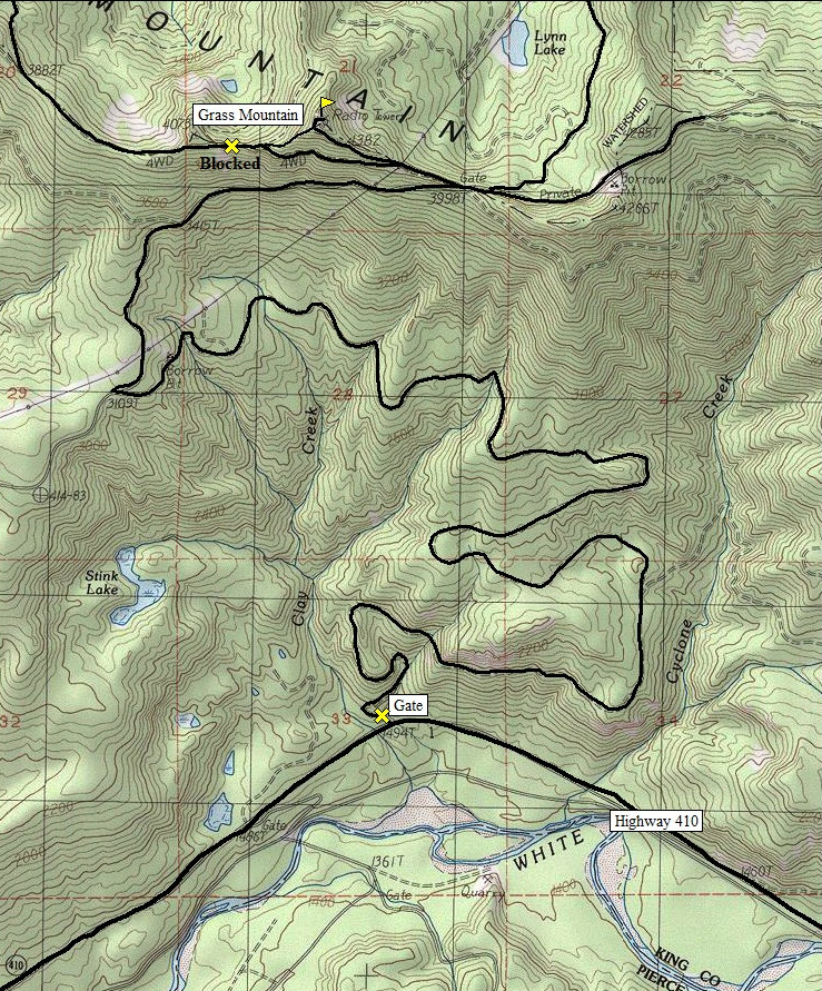
The entire route is on logging roads. Most of the route has no views so a bike might make this area go faster. Follow the roads as shown on the map. In 2016, non-motorized daily permits cost $15 for families and $8 for individuals and are good for one-day only.
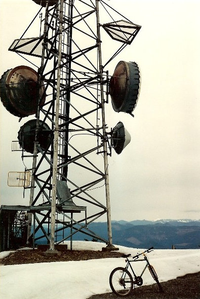
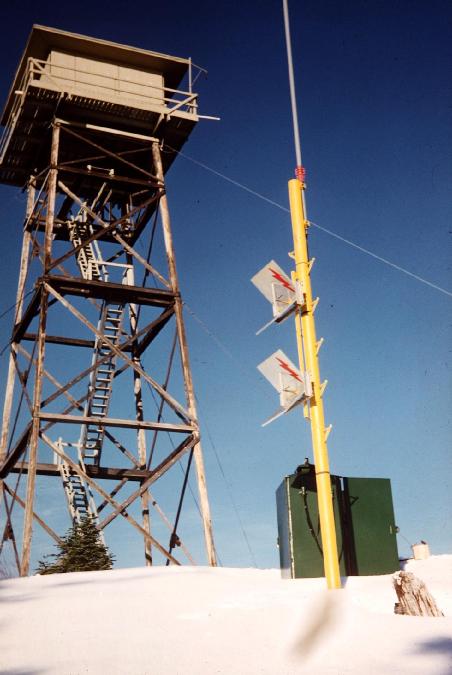
Communication tower on top (during first visit late 80s)
Looking over to the western peak above Enumclaw
Looking downslope at the lookout tower
I've also been up Grass Mountain from the north side, see trip report here:
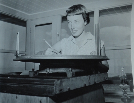
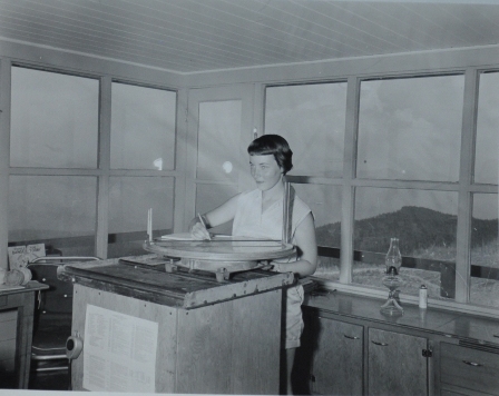
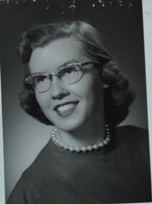
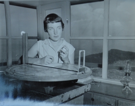
Sue Weidman - Lookout 1960-61
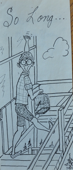
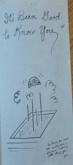
Art by Sue Weidman
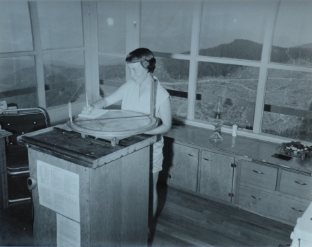
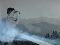
Sheila Cairns photos 1958 lookout
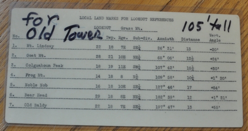
Original height said to be 101 or 105 feet tall
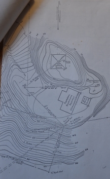
Grass Mountain Lookout was at highest contour
Local land marks for lookout references when tower was 105 feet tall
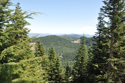
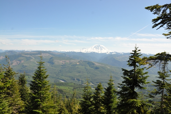
Mount Rainier from near the lookout site
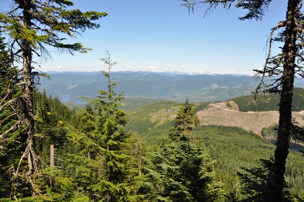
Looking north toward Snoqualmie Pass from old footing down the hillside
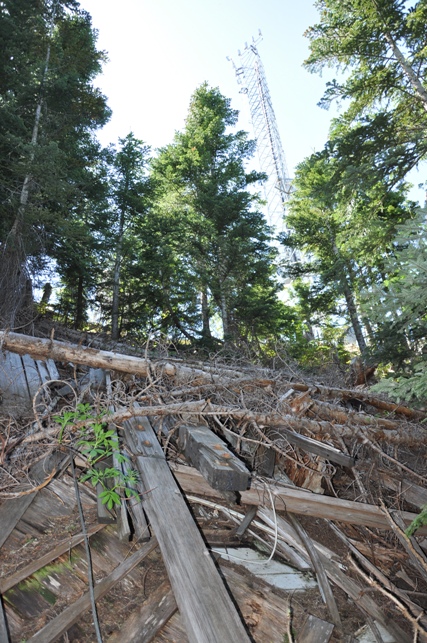
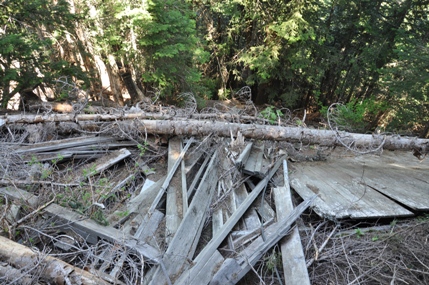
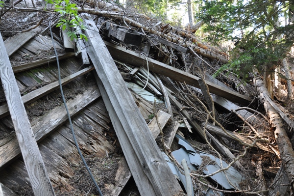
Looking upslope at the lookout tower
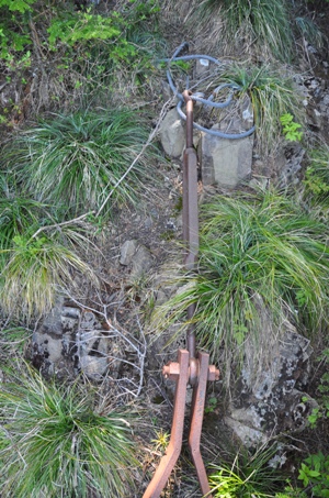
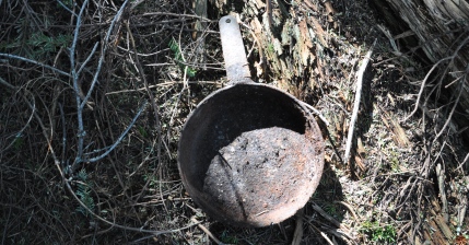
Found a frying pan, tea pot and lots of other cooking stuff
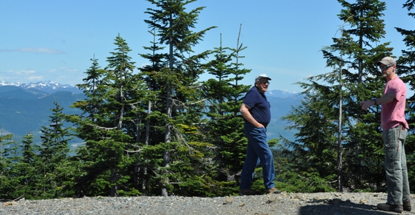
Discussing how the tower was fallen 36 years later with Wally who fell it
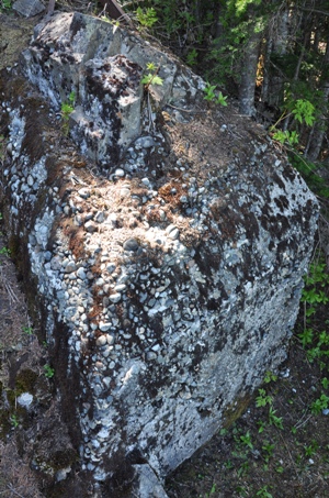
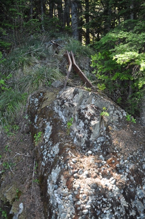
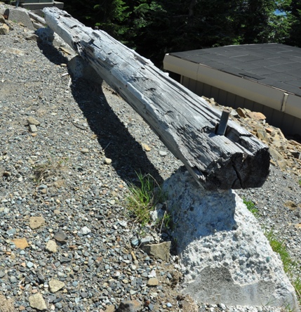
This huge anchor was poured concrete around a rock outcrop. It is located 200 feet down the hill and was used for the original 105 foot tower
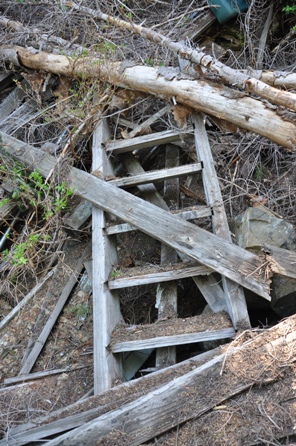
Stairs
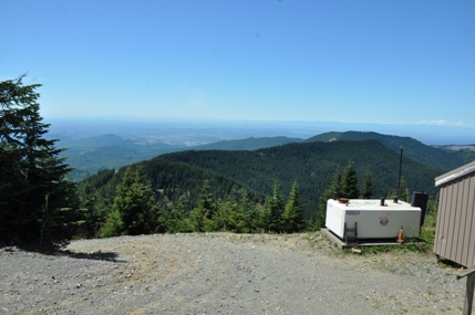
Footings for the tower now used for parking
Views east with trees starting to block views
Lookout History
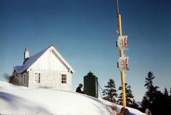
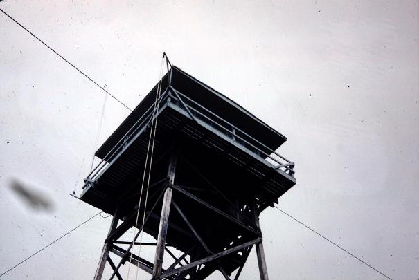
After the crop


Labeled as Huckleberry Mountain Lookout
State lookout inventory in 1942
AWS document 1943
AWS document 1942
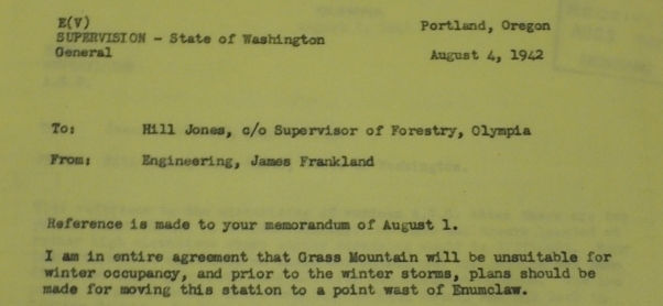
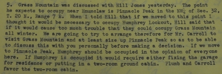
AWS document stating that Grass Mountain was not a good place to access in the winter, Goodwater location better.
AWS document
AWS Observers
Access in 1942
Pinnacle Peak was too close to a civilian observation post so the winter AWS site for Grass was placed at Goodwater.


