It's not the highest point in Sundance, I'm not sure it's entirely inside Sundance, but the best access is through the resort. This is a well hidden little peak. No chairlifts go up it's little slopes, so even in winter, it should have some solitude. If your looking for a winter snowshoe with low risk of avalanche, give this a try (before the lifts start, Sundance doesn't like you there on foot during ski season). Best time to visit is just after the resort closes. You'll have hardpack snow to walk with views of the surrounding mountains in snow. These pictures are from a fellow hiker who went up a few months after me after the snow had melted (I had forgotten my camera).
Sundance Peak
Distance: 1 mile
Elevation Gain: 1,000 feet
Summit Elevation: 7,093 feet
Access: Paved
www.WillhiteWeb.com: Your online resource for hiking, climbing and travel
Access:
Route:
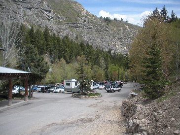
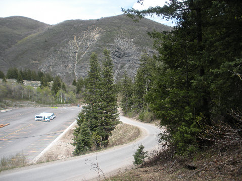
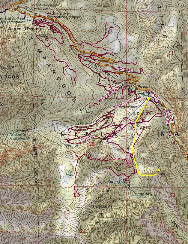
Go up Provo Canyon (HWY 189) looking for a sign to the left for Sundance and the Alpine Loop Road (just after the tunnel). Drive up that road a few miles to the resort. There are 2 parking areas. If you can, access the upper lot and you will save a 150 vertical feet or so of climbing.
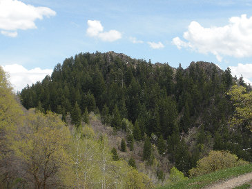
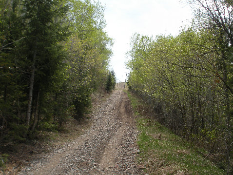
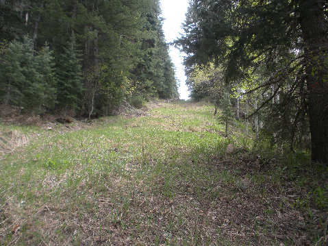
Hike up the ski slopes or service roads staying left, working toward a valley between 2 large hillsides. Once you are between them at 6700 feet, there is a reservoir with Sundance Peak standing beyond. You don't see the peak until this point. In winter, the safest route is to snowshoe up its west ridge. In summer, a trail works around the east side of the reservoir.
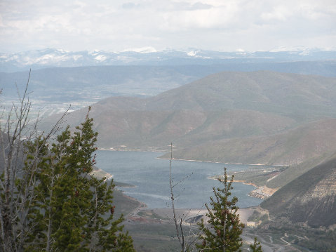
Deer Creek Reservoir
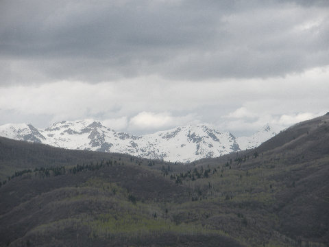
Looking North
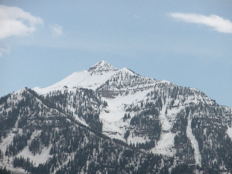
Cascade Mountain
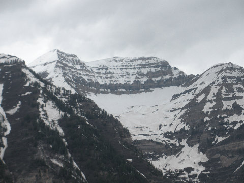
Mount Timpanogos
Another service road lower on the mountain
Service road above the parking area
Upper parking area
Lower parking area
Sundance Peak from the reservoir
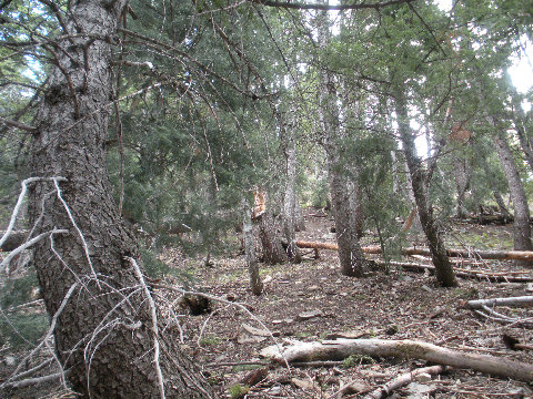
Trees near the summit


