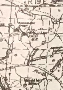

Bunker Hill Lookout Site
The gentle slopes and meadows surrounding Bunker Hill are rarely visited anymore. The remoteness make Bunker Hill one of the best locations to visit if you want some peace and solitude. Recent fires have made access even more difficult. But the Boundary Trail does cross the summit so there will always be a small number of folks trekking across east and west.
Elevation: 7,239 feet
Distance: 26 miles from Billy Goat TH via Sand Ridge
Distance: 22 miles from Billy Goat TH via Dean Creek (closed)
Elevation Gain: Better not knowing
Access: Good Gravel
WillhiteWeb.com
Access:
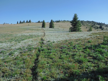
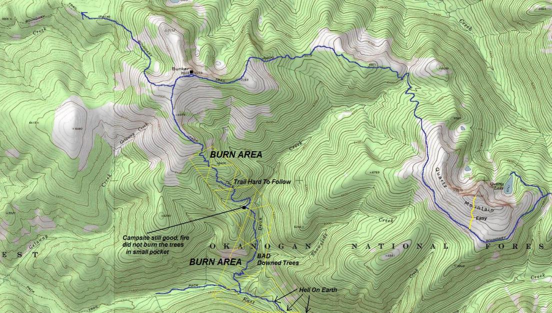
Three trails access the mountain but where you start could be a number of places, even Canada. Fire has damaged and eliminated much of the Dean Creek Trail up from the East Fork Pasayten River (original route). The trail from the East on Quartz Mountain also has a few issues but should get brushed and cleared in the next several years. The trail west of the summit I did not hike.
Lookout History:
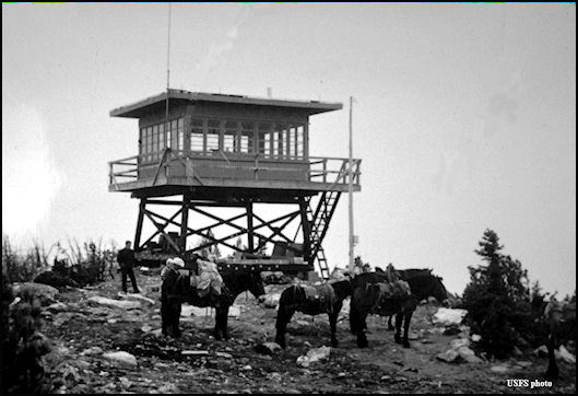
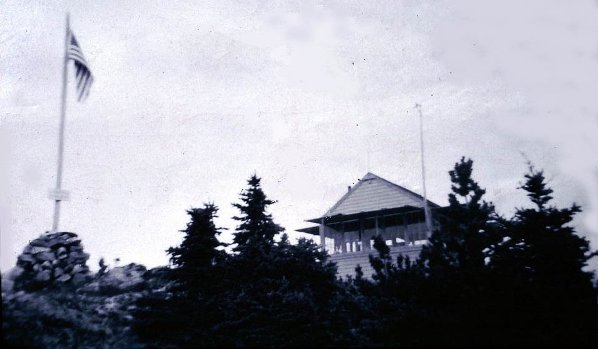
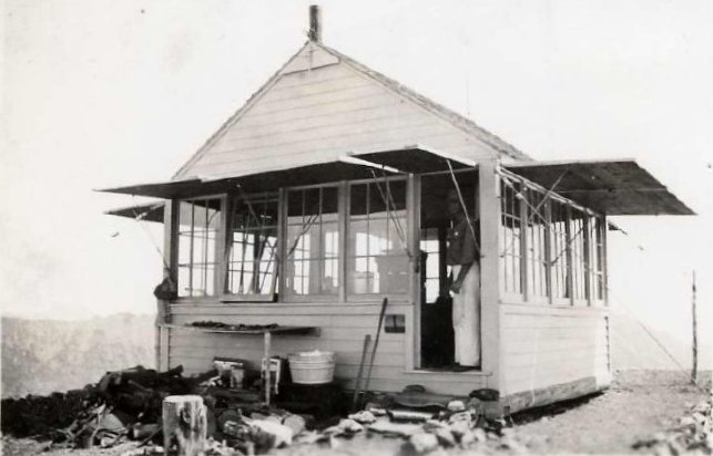
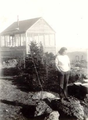
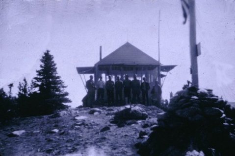
In 1930, a L-4 cab with gable roof lookout house was constructed on Bunker Hill. Materials were packed in 25 miles from Billy Goat Corral.
In 1932, the lookout was Al Anderson.
In 1934, panoramic images were taken.
In 1942, the AWS used the site. Activated: July 12. Deactivated: Sept. 18.
In 1959, the lookouts were using a wall tent after the cab was accidentally burned down, likely in 1958 but no date known.
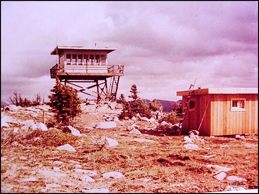
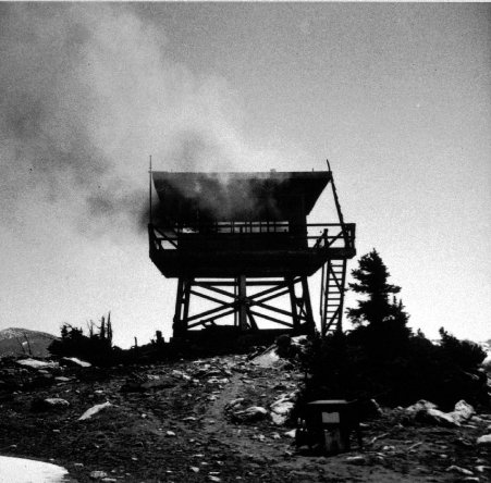
In 1960, the lookout was replaced with a 10-foot treated timber R-6 flat tower. The tower was last used in 1966
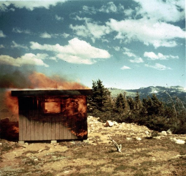
In 1973, the lookout was burned.
Note: there is another former Bunker Hill Lookout down on the border near Oregon as well.
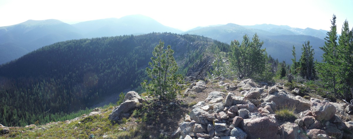
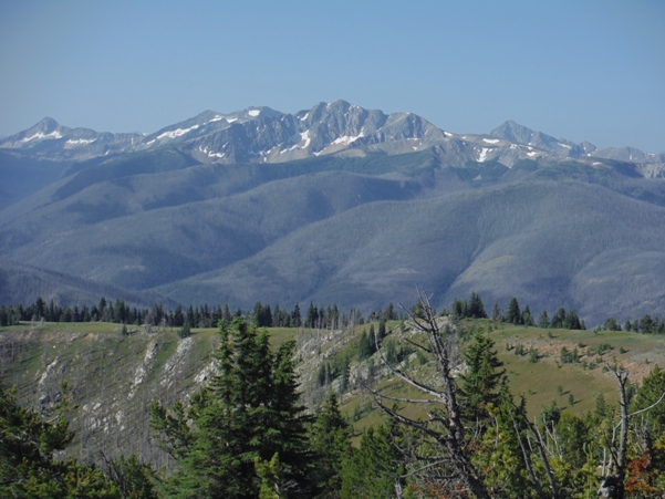
Looking Southeast 2016
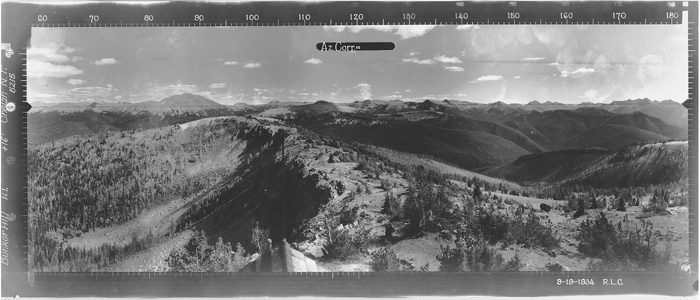
Looking Southeast Sept 1934

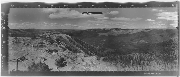
Looking North Sept 1934
Looking North 2016

Looking Southwest 2016
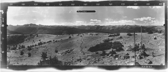
Looking Southwest Sept 1934
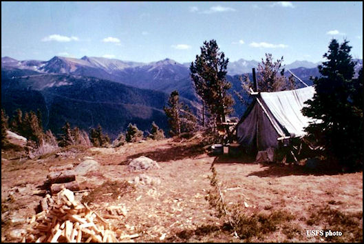
Bunker Hill Tent in 1959
Bunker Hill 1960 tower and cab
Bunker Hill 1973 - year of burning
Bunker Hill Lookout burning in 1973
Bunker Hill after the burn in 1973
Sheep Mountain
Quartz Mountain
Helicoptor landing near the summit
Last mile of trail up from the East Fork Pasayten River
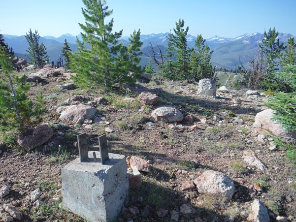
Nice footing...looking north
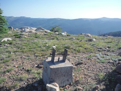
Three footings showing a wide base
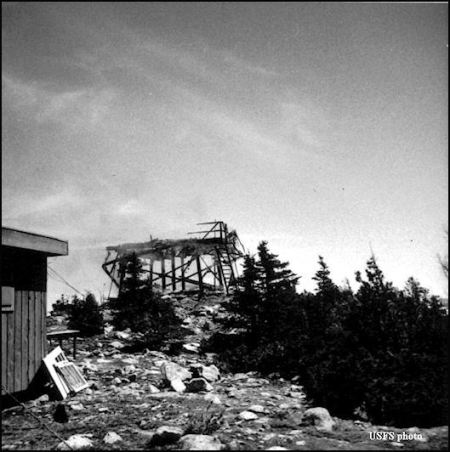
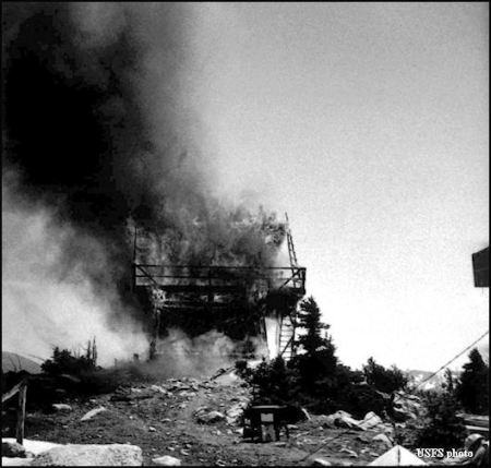
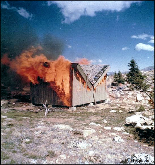
Shed burning in 1973
Osceola, Carru, Lago
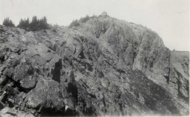
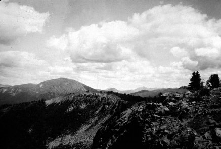


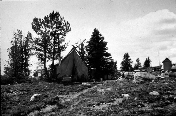
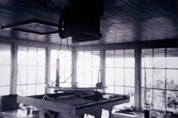
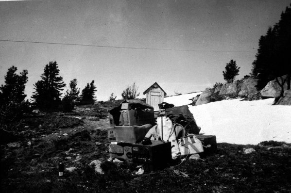

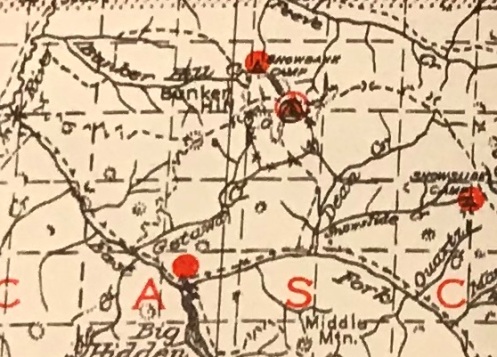
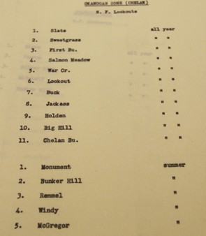
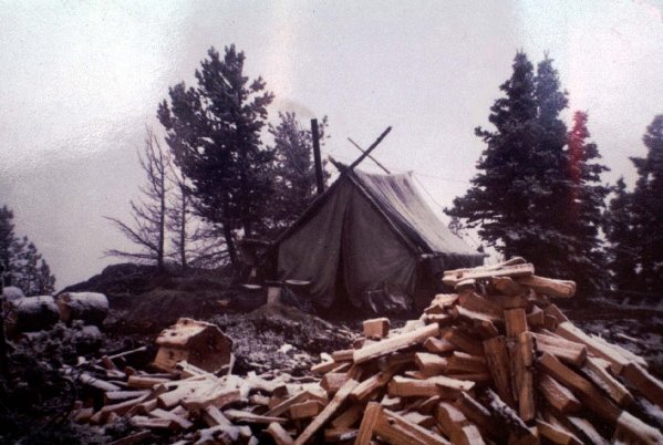
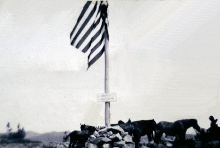
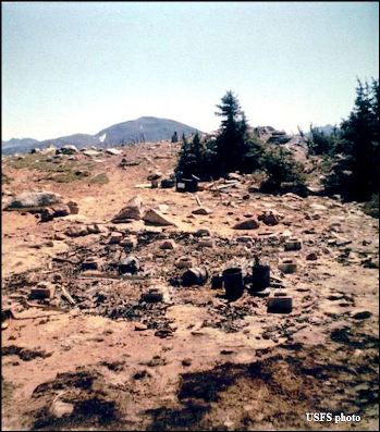
1959 camp after lookout burned down
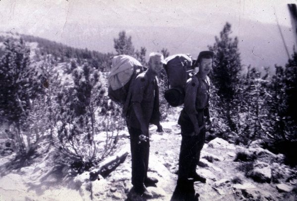
Boy Scouts visiting in 1950
Lookout on the summit
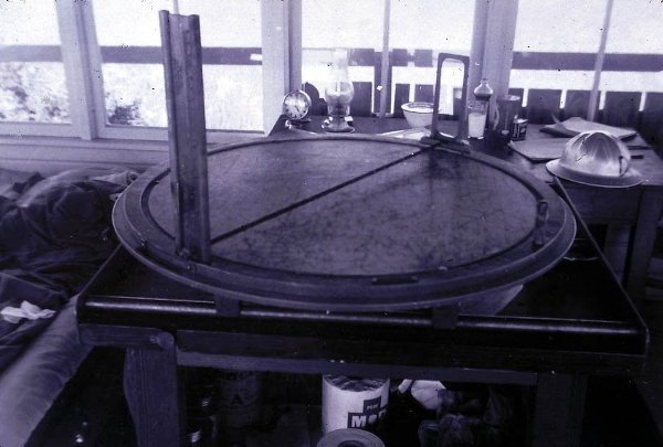
1950 Inside
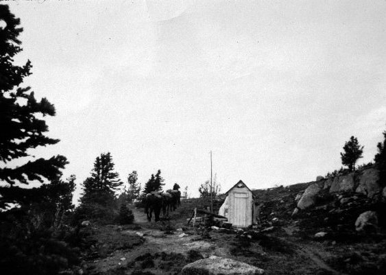
Pack string in 1950
Boy Scouts in 1950
Shed burning in 1973
Summer AWS station
Bunker Hill access in 1942
Removed from winter use after someone explained the situation to the Army
Lookout supplies brought by horse
Bunker Hill Tent in 1959
1959
1950


