www.willhiteweb.com - Hiking, Climbing and Travel
These two peaks are not the most exciting places but in order to wrap up all the peaks in the Wasatch, they were required visits. Both have some issues with access. In time, the location of "Homesite Hill" will be under the foundation of another huge Park City luxury home. "County Line Benchmark" could end up with the same fate although it appears it might be spared, just having the homes really close by.
County Line Benchmark & Homesite Hill
Distance: 1.5 miles and 0.2 miles
Elevation Gain: 340 feet and 50 feet
Summit Elevation: 7,624 & 7,685 feet
Access: Paved
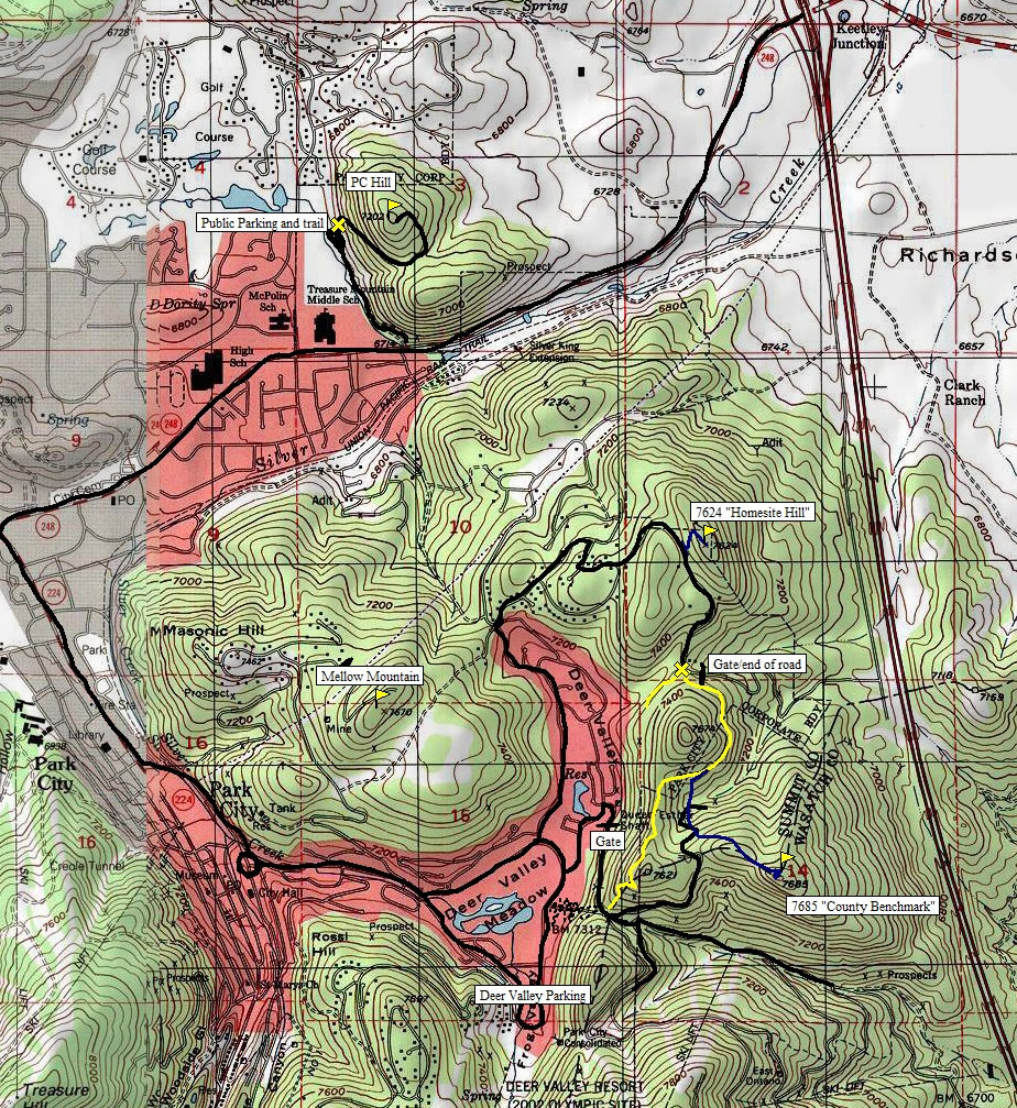
Follow the map as shown below. The key intersection is the 4 way stop at the north end of Deer Valley on Solamere Drive. Take a right turn on Sun Ridge Drive, follow to Oak Wood Ct. Take Oak Wood Ct to a left turn east onto Rising Star Lane. Near the crest of this road is the access point to Homesite Hill. Park below. For County Line Benchmark, follow Sun Ridge Drive downhill to it's end. There you will find a trailhead with the Solamere Loop trail going in two directions.
Getting There:
Homesite Hill Route:
Just park your car below and walk up the dirt road to the summit. Try to pretend you are looking at the property. I wore a nice shirt and slacks. If one of the few homeowners in the area calls the cops, and they get there before you can get up and down, you'll have a better chance talking your way out of a trespass if you are dressed nicely.
County Line Benchmark Route:
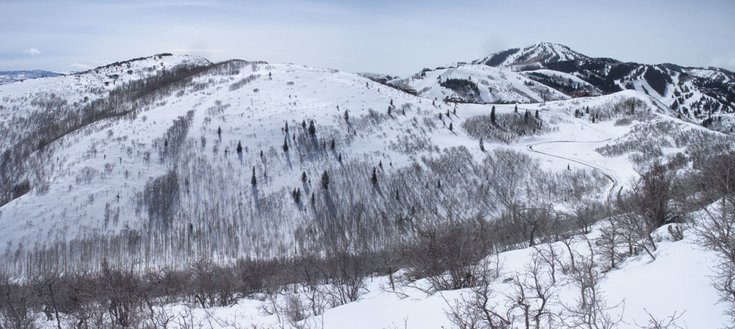
This made for a nice one hour roundtrip snowshoe hike. From the cul-de-sack at the end of the road, locate the gated road that continues down the hill (next to the private gate). Above the south side of the road, the trail contours around the knob east, then south. Follow this nice hiking trail (or snowshoe) until you come around to the south side. There you will have an excellent view of the summit across a small valley. Leave the trail on the south side, drop to the paved road and walk up the road toward the ridge. (When this area is fully developed, this route will no longer be any good.) You will see homes on the south side of this ridge. Stay on the north side to be out of view. Traverse east and up to the ridge hopefully gaining the ridge beyond the home sites. The true summit is a short distance to the east. (These roads are gated far below and part of the exclusive Deer Valley Resort. If you can gain access, the hike would only take minutes.)
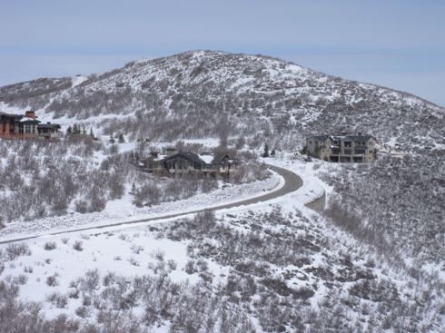
This is Homesite Hill and the road between the two peaks, from Solamere Loop Trail
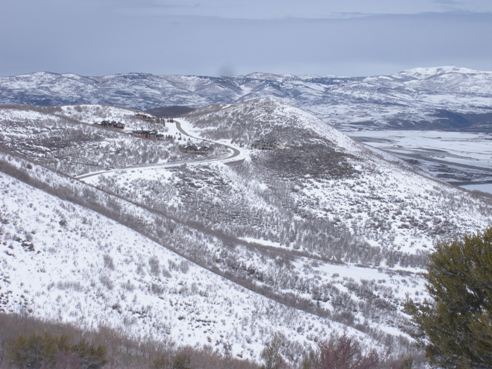
Another view of Homesite Hill with the highpoint where you start from
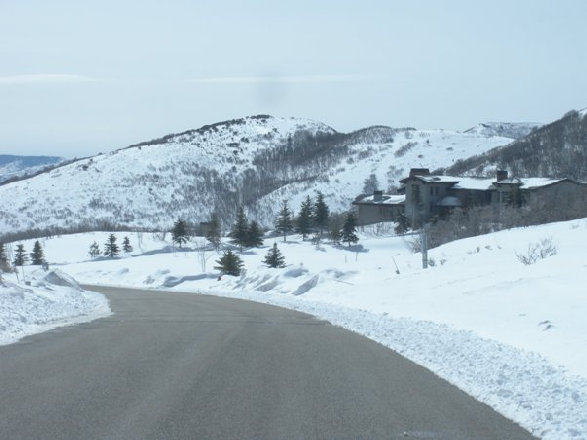
The first view of County Line Benchmark as you come over the highpoint near Homesite Hill
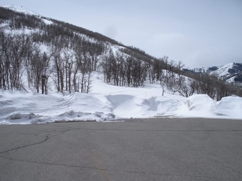
The parking area for the trailhead, old gate is left of picture
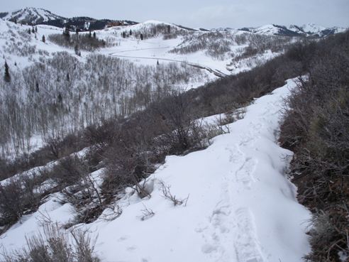
The first view of County Line Benchmark as you hike around the first knob
First view of the road as it comes over the ridge
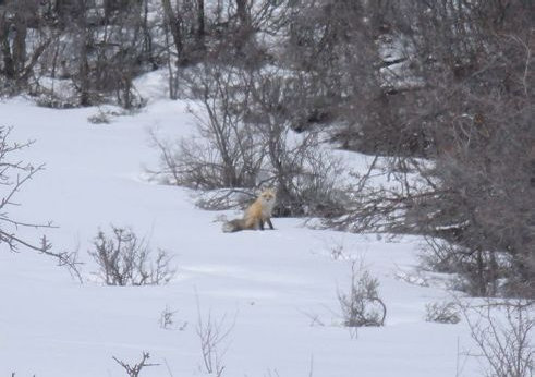
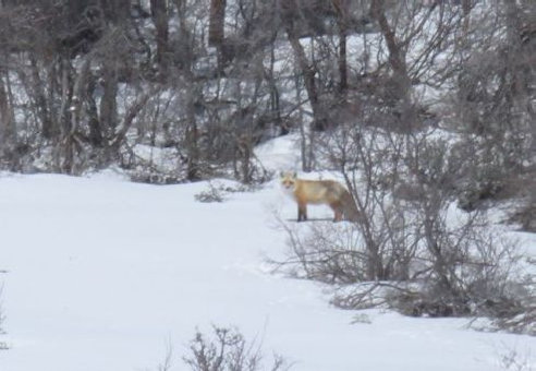
I believe this was a red fox

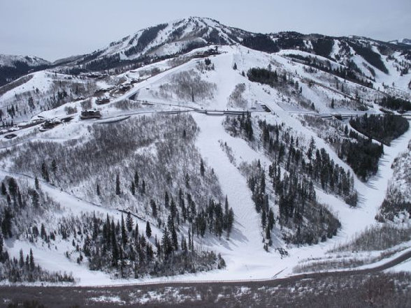
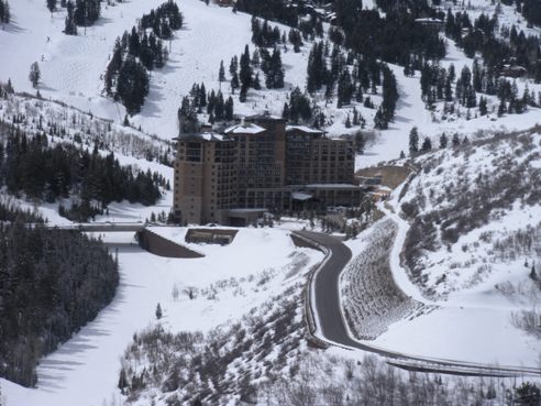
Deer Valley Resort from the summit of "County Line Benchmark"
Red Fox
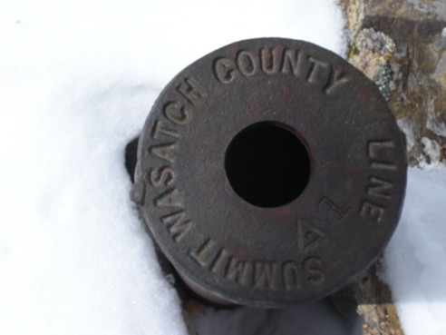
Summit marker
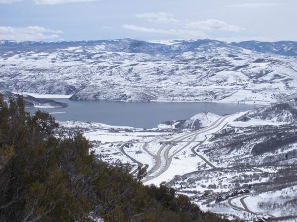
Jordanelle Reservoir and Interstate 40
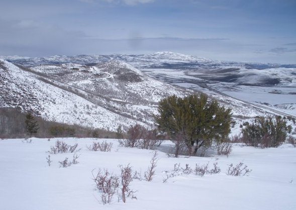
Looking north to Homesite Hill and a distant Lewis Peak
St. Regis Resort Deer Crest
Panoramic shot looking south and west from the summit of "County Line Benchmark"
Black is roads, yellow is a trail, blue is off trail
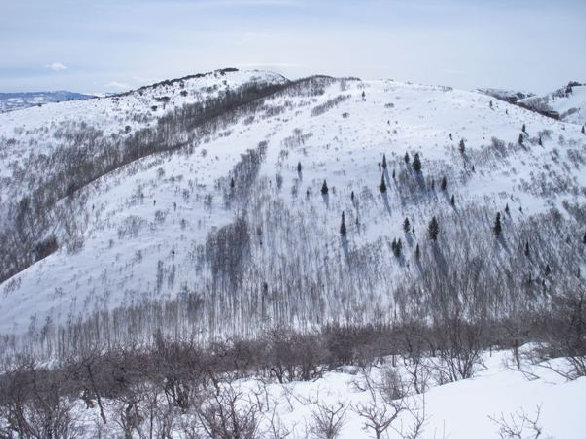
Higher than the trail, near the top of the first knob, looking over at the summit (on left), with the road down on the right and the homes on the ridgeline. Route shown from road to summit


