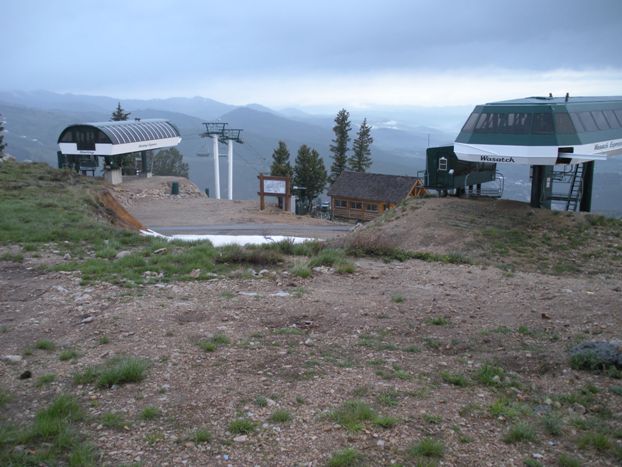
Park Benchmark and Bald Mountain crown the popular Deer Valley Utah ski area. Bald Mountain has four ski lifts terminating at the summit so Bald Mountain is one of the most topped peaks in Utah. Park Benchmark is an easy stroll from there on open slopes down 346 feet than up 363. If you do not ski or just don't like the price of a Deer Valley Ski Area ticket, hiking will be your best bet. Better yet, bring a mountain bike....there are trails everywhere. The entire route shown could be done on roads and bike trails. While hiking back among all the bike trails, I realized the ski lifts up Bald would be how bikers are getting up there.
Distance: 2.5 miles up both
Elevation Gain: 1,000+ feet
Summit Elevation: 9,363 & 9,346 feet
Access: Good Gravel
Park Benchmark & Bald Mountain
WillhiteWeb.com
Access:
Route:
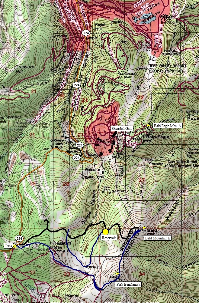
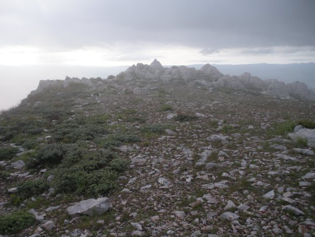
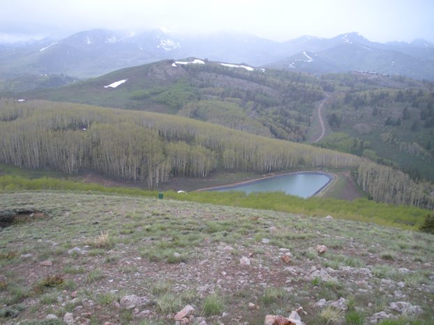
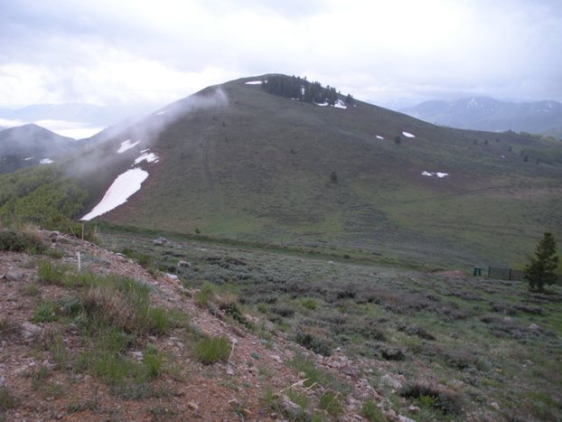
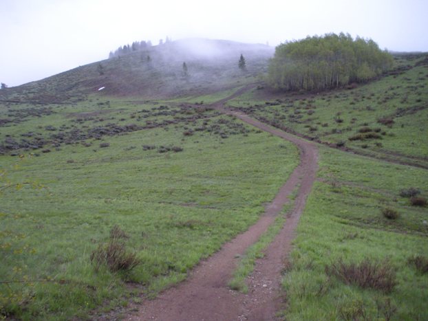
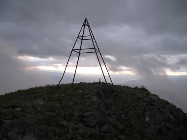
The new paved road going east just below the ridge has no trespassing signs. Follow the ridge top east above the road, it has several older roads and trails. This route will take you up and over Flagstaff Mountain. This peak is shy of the needed 300 feet of prominence but is named so worth a visit. Climb down the backside or avoid the summit by a old road on the south side. Drop down to the saddle between Flagstaff and Park Benchmark. The terrain is open and trails are everywhere. Follow the trail up Parks west and south sides or just go straight up. The summit of park has a survey triangulation marker. From Park, drop down the north side to the saddle between it and Bald Mountain. As you climb Bald, you have to wonder why 3 separate trails climb the same slope. Bald Mountain is full of buildings and lifts but the highest point is a bit to the east, a small rocky point. Because of incoming weather, I returned a different route, following the road down the west side of Bald until I hit the visible reservoir. Follow the trail along the north fence line until you come to a 6 way mountain bike trail intersection. Here I chose a route that traversed at about the same elevation back to the road with no trespassing signs (see map). On could just continue at the reservoir to follow the road but some elevation is lost and gained. The trail option was nice hiking in forests. The private road was only followed for a short distance.
From Park City, follow state route 224 up towards Guardsman Pass. When you hit the ridgeline where you can see south for miles (you'll know when), park in the dirt on the west side of the road. From Heber City, take 224 until you can see forever to the north and park.
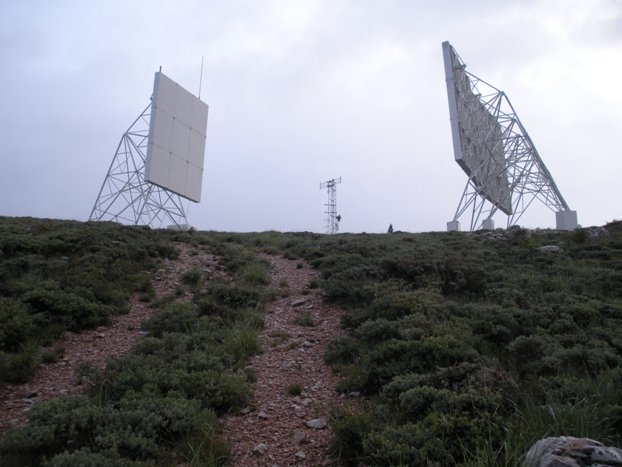
Climbing up to the relay station on Bald Mountain
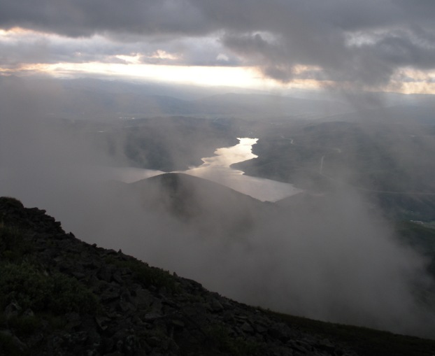
Flagstaff Mountain & the reservoir from Bald Mountain
Bald Mountain Summit
Looking at Park Benchmark from Bald Mountain road
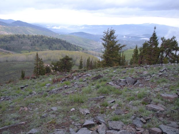
North to the Park City area from Park Benchmark area
The summit of Bald Mountain
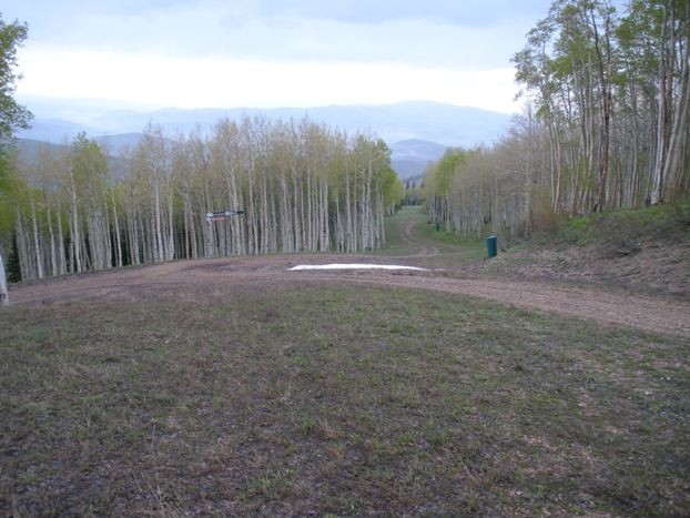
Hiking down the ski runs from Bald Mountain
Summit of Flagstaff Mountain
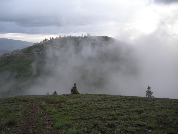
Bald Mountain from Park Benchmark
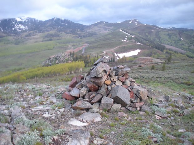
Triangulation structure on Park Benchmark
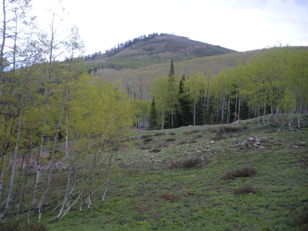
Park Benchmark from below Flagstaff Mountain
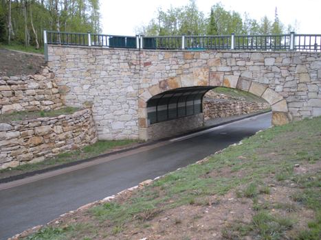
Hiking out past expensive road building
The cheepest Park City home I've seen yet!
Sunrise over the Jordanelle Reservoir
Map shows Bald Eagle Mountain as well but it's not in this trip report
Bald Mountain from west of the reservoir
