Mount Jefferson - Whitewater Glacier
Mount Jefferson is the second highest peak in Oregon. Jefferson is considered to be the hardest peak to climb in Oregon. The summit area has a dangerous snow crossing and the summit pinnacle has a class 4 to 5 rock climb. Jefferson has 5,797 feet of prominence making it one of the 57 ultra prominent peaks in the lower 48. The mountain is also one of the major Cascade volcanoes, drawing many climbers, even though the routes have some really crappy rock scrambling. It was named for President Thomas Jefferson by the Lewis and Clark Expedition. One of the most popular routes on the mountain is the Whitewater Glacier route, described below. It is a long route, more ascetically pleasing to the eye and feet than the quickest route, which would be from Pamelia Lake. The Whitewater Glacier route takes you around 3 sides of the mountain. The fourth side can be viewed on the approach hike so you really experience the whole mountain.
WillhiteWeb.com - Oregon Hiking & Climbing
Access:
From Highway 22, several miles east of Detroit, take USFS Road 2243 to the Whitewater Trailhead.
Distance: 8.5 miles
Summit Elevation: 10,497 feet
Elevation Gain: 6,500 feet
Access: Good Gravel Road
Route to High Camp:
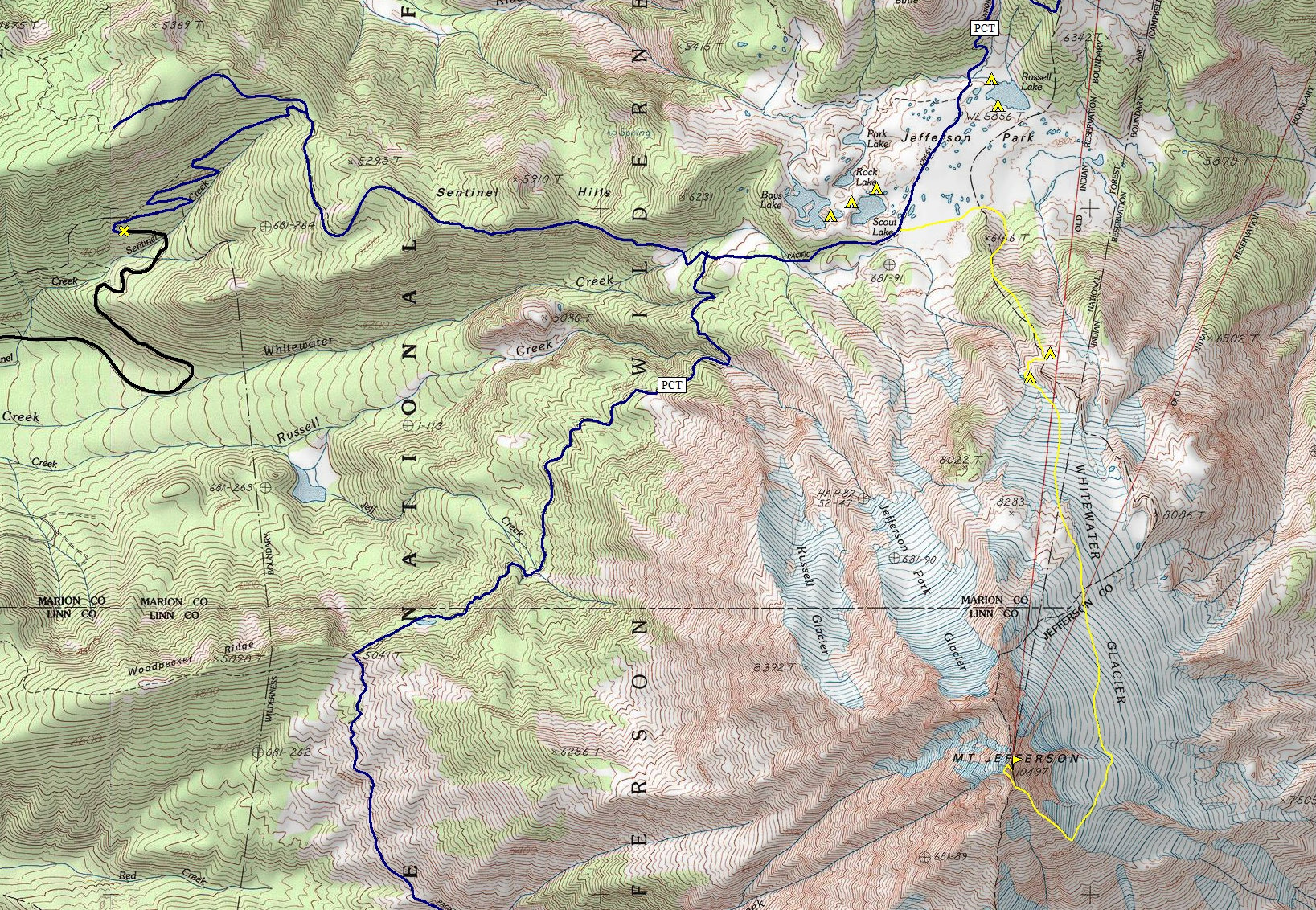
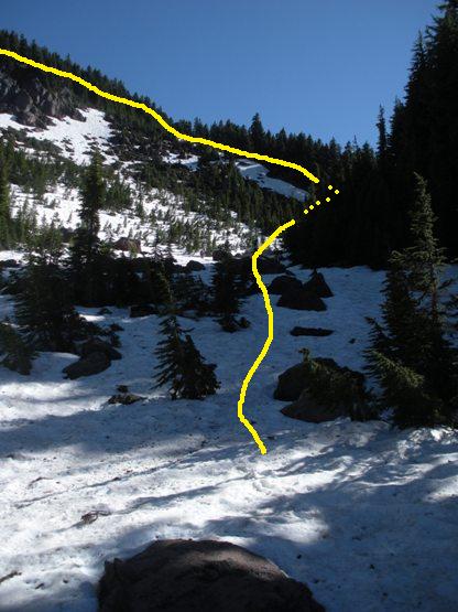
Follow Whitewater Trail for 1.5 miles to an intersection with Jefferson Park Trail. Follow the Jefferson Park Trail east 2.5 miles to a junction with the Pacific Crest Trail. Take the PCT uphill around a half mile into Jefferson Park. Once you know you are in the park, you can find numerous camps at every lake. To continue, at the first meadow or further along the PCT, leave the trail and work around the east side of point 6166. Then gain the ridgeline at the saddle behind 6166. Climb the ridgeline following faint climbers trails either at the forest edge or just inside the tree line in the woods. Climb up the ridge until the trees end at a large flat bench. Camps are here at 7100 feet but only snow (if that) exists for water. Another camp with water is around the moraine that is towering above the bench. You can traverse the right side of the moraine at bench level to reach the pond shown on the USGS maps. A few tent spots exist there and is the location we camped. Other camps exist with water but they are up around 8000 feet much further to the SE.
Route from High Camp:
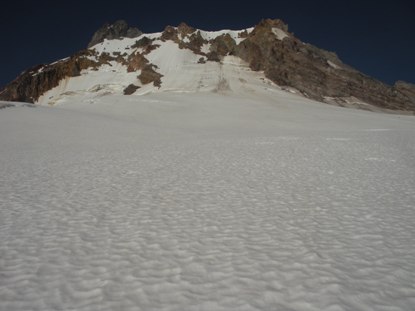
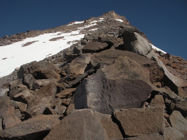
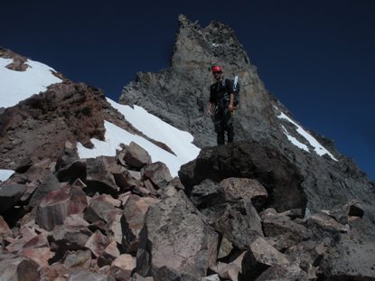
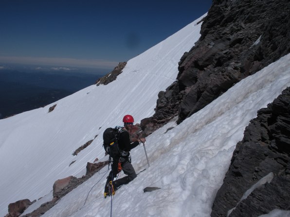
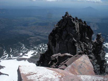
Climb up the Whitewater Glacier which at first climbs the north ridge some, then is more of a traverse below the East Face. The glacier can become quite crevassed so conditions vary depending on timing of your trip. The goal is to reach the SE Ridge around 9,000 feet. Once on the ridge, there is a 1,000 feet or so of steep boulder & scree scrambling to reach Red Saddle. Once at Red Saddle, the steep traverse comes into view. The traverse is snow and ice for most parties except late in the season. Most parties will need to place pickets for safety, the run-out is awful looking. Once past the traverse, it is a steep and somewhat exposed scramble to the north ridge then back west a bit to the final summit pitch, around 30 feet of class 4 rock. If you rope up, there are rocks for wrapping runners or a few nuts will work. The top is airy with only enough room for 3 or 4 people.
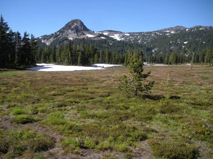
Park Butte & BM from Jefferson Park
Route up east side of Point 6166 and up the ridge
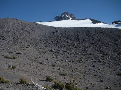
From the Bench at 7100 with the moraine blocking view of the glacier
From our camp with the backside of the moraine and the end of the glacier
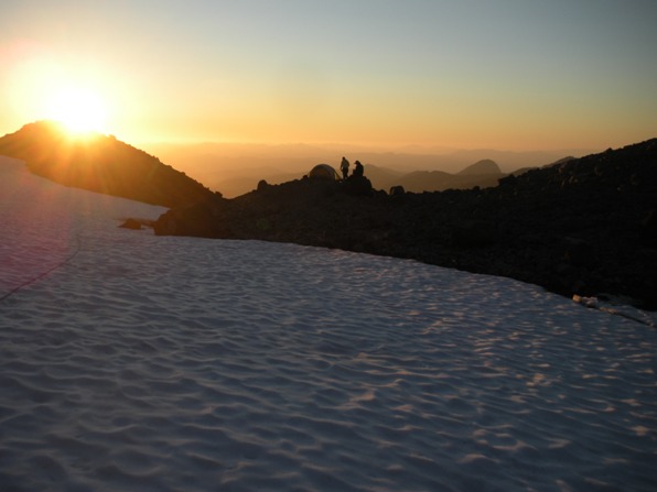
View of camp at sunset
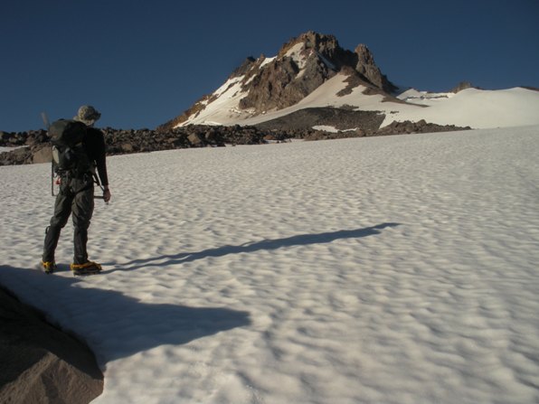
Looking up at the north ridge of Mount Jefferson
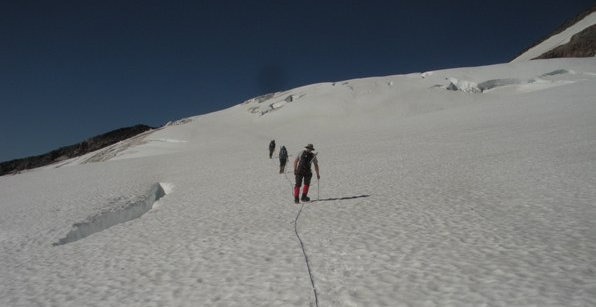
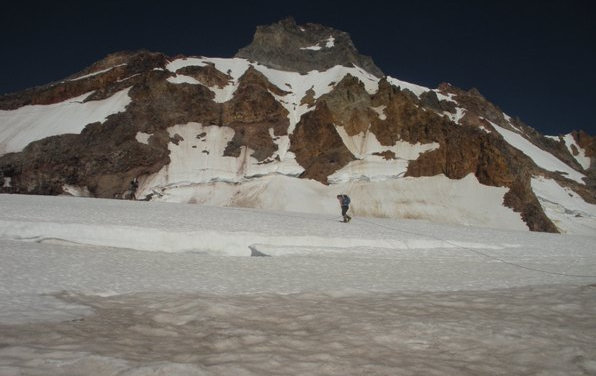
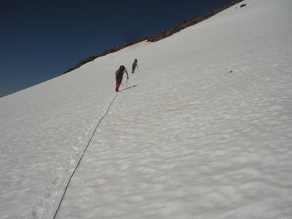
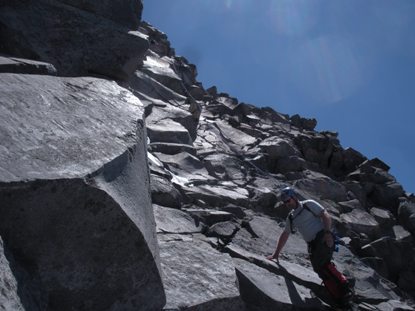
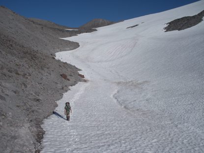
Climbing up to the SE Ridge off the Whitewater Glacier
East Face of Mount Jefferson
Getting close to Red Saddle
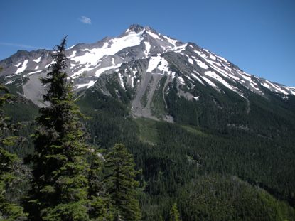
West side of Jefferson on the approach
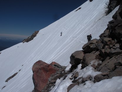
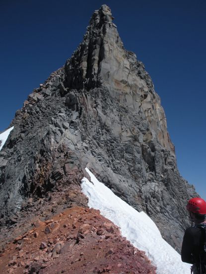
Looking up the SE Ridge
The steep snow traverse
Crossing the snow traverse
Scramble near the summit
Summit from Red Saddle
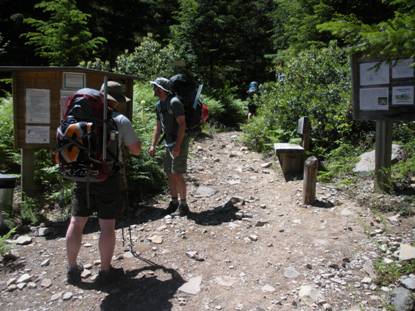
Trailhead
Second night sunset
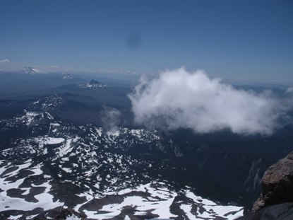
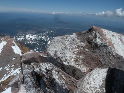
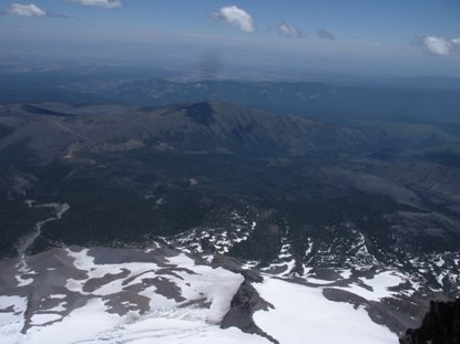
Looking north to Mt. Hood from the summit
Looking east from the summit
Looking SE from the summit
South from the summit to Three Fingered Jack, Washington, Three Sisters
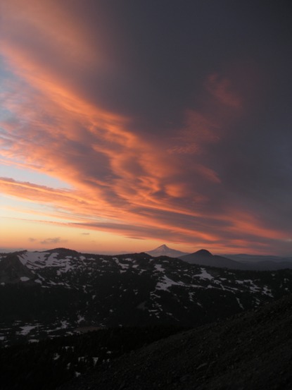
Evening light on the clouds over Mt. Hood
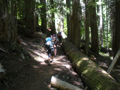
Trail starts out in nice big trees
On the Whitewater Glacier


