Mount Walker Viewpoint & Lookout Sites
WillhiteWeb.com
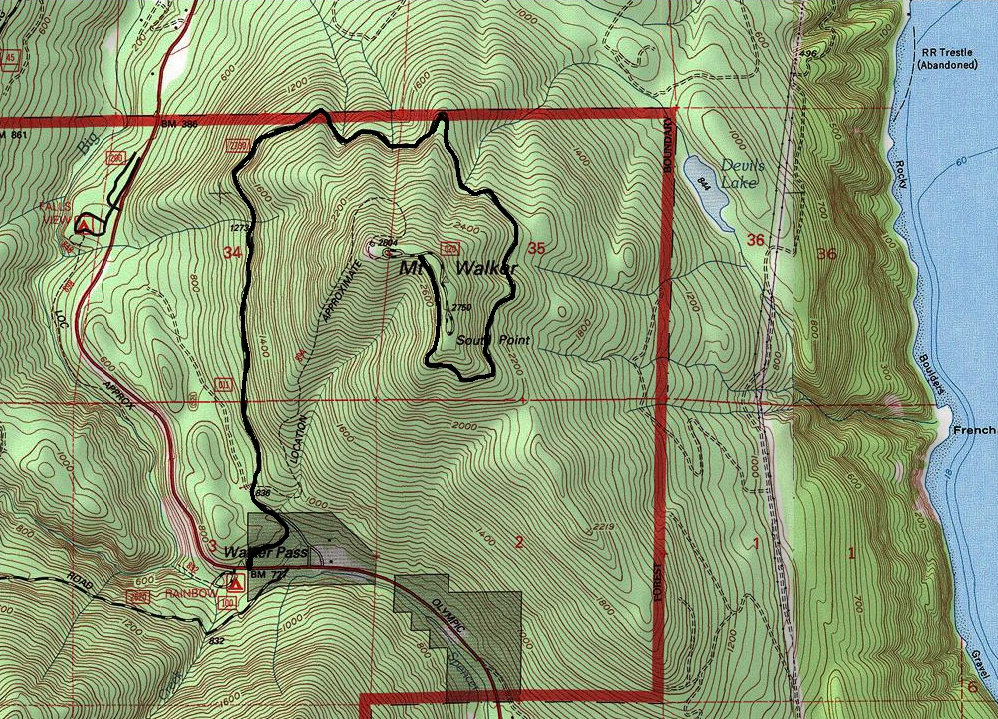
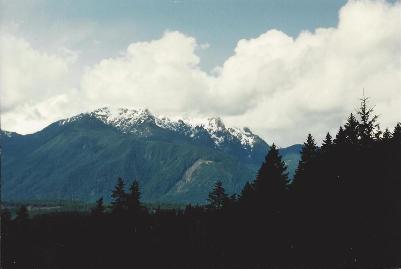
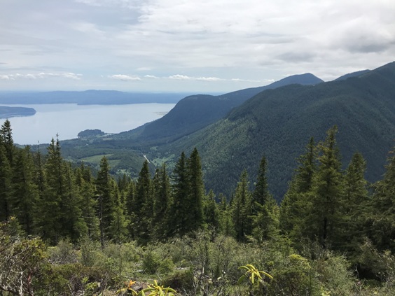
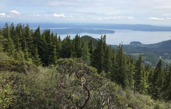
Mount Walker is well known for having a road to the summit. This is such a rare thing in the Olympics, it should be celebrated. For most, the drive up Highway 101 is limited to scenic beaches on Hood Canal. Mount Walker gives drivers a vantage point high above sea level and a glimpse into what the Olympics really are, an amazing mountain range. From the two summit vantage points are excellent views of Hood Canal, the Seattle skyline, Mt. Constance, Mt. Jupiter and east to Mt. Baker. For hikers, Mount Walker makes for a great winter trip since it is low elevation but has a good 2,000 feet of elevation gain. The road is gated in winter, walk the road or take the hiking trail.
Distance: Drive-up or 2.5 miles
Summit Elevation: 2,085 feet
Elevation Gain: Drive-up or 2,000 feet
Access: Good dirt roads
Access:
Drive 5 miles south of Quilcene on US Highway 101. Turn east onto Mt. Walker Viewpoint Road (built by the CCC). In summer, drive up. In winter or if you just want to hike it, park at the gate and follow directions below.
Route:
Step over the winter gate and go a short distance until you see the sign for the trailhead on the right. The trail takes you through an old Douglas-fir forest. The hike is 2 miles to the first viewpoint and a half mile further for the south viewpoint.
Lookout spot
Hood Canal - Looking South
Mount Elinor & Mt. Washington
Hood Canal & Toandos Peninsula
Lookout History:
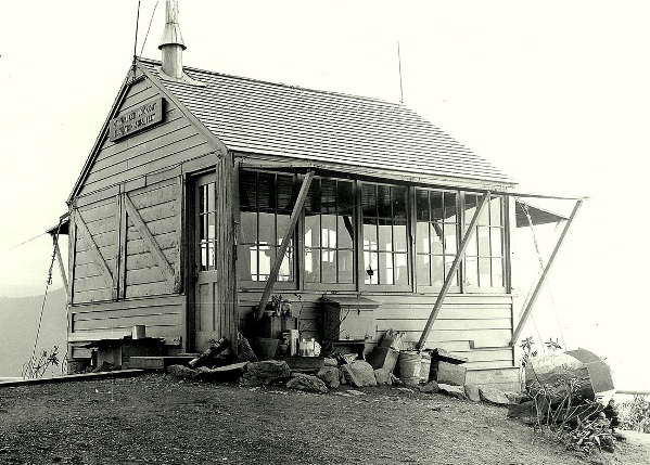
In 1931, a gable roof L-4 cab ground house was constructed.
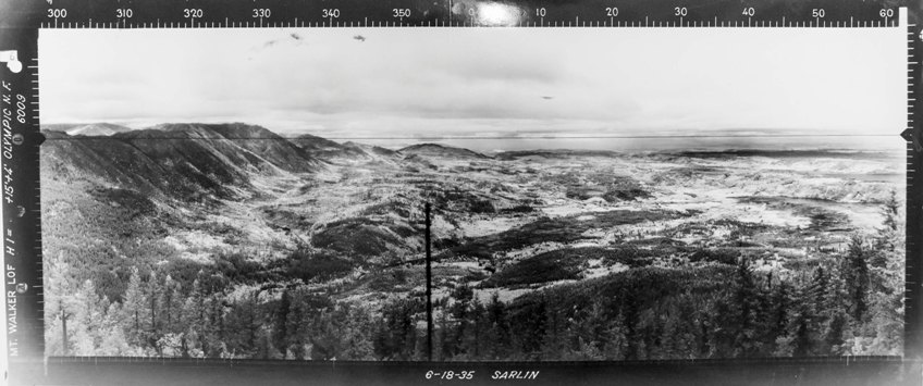
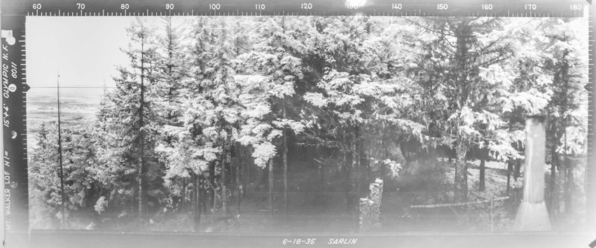
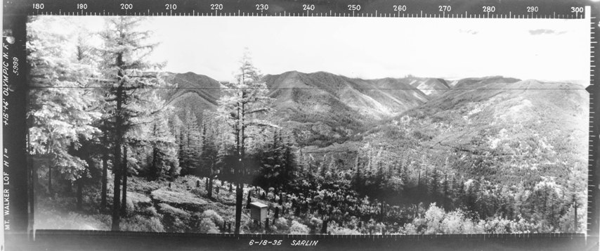
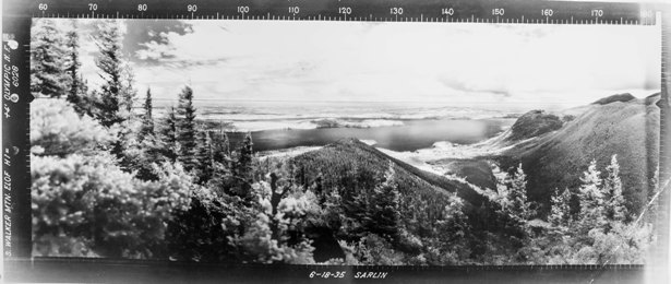
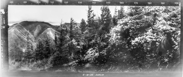
In 1935, panorama photos were taken including images from the south point that was being used as a patrol point from the northern point lookout.
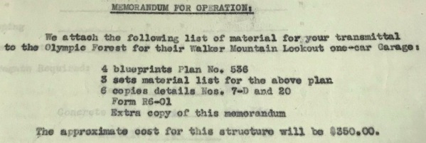
In 1939, a one-car garage constructed.
In 1942, Mount Walker served as an Aircraft Warning Service Station during WWII, using existing facilities owned by Olympic National Forest but also added a 12 x 18 garage.
In 1956 the lookout was still being used based on a news article on May 18.
In 1967 the lookout was destroyed.
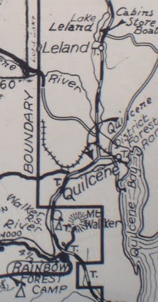
1932 Trail Guide
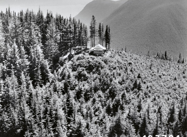
Walker Lookout aerial shot taken by Leland J. Prater 7-18-1957
July 19, 1957 National Archives - Leland J Prater photo
North - June 18, 1935
Southeast - June 18, 1935
Southwest - June 18, 1935
South - June 18, 1935
Southwest - June 18, 1935
Images were also taken from the patrol point at South Point
(stovepipe and firewood)
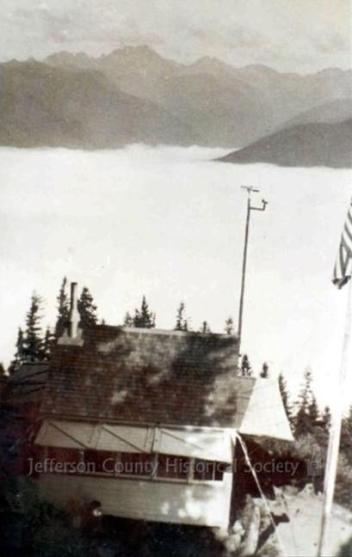
(weather station)
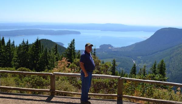
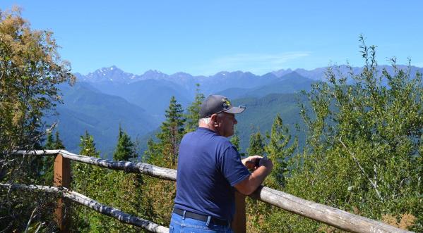
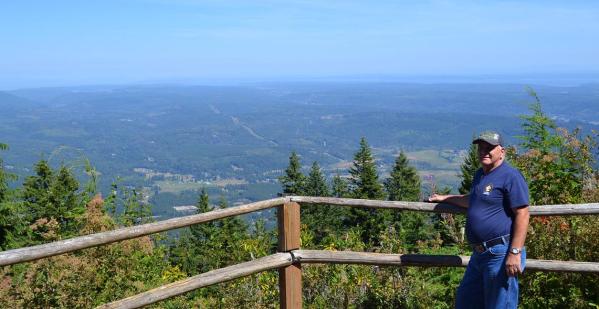
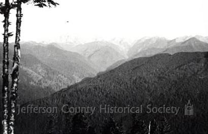
Hood Canal
Olympic Mountains
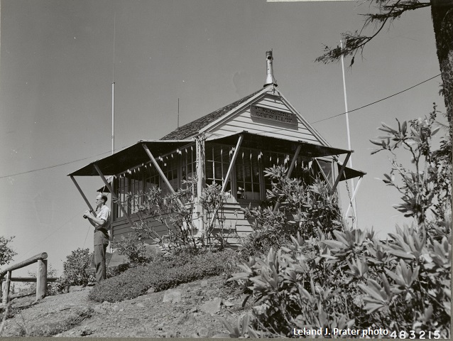
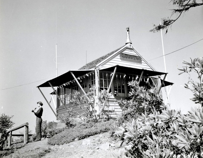
Charles Newlon in front of lookout spotting fires, taken by Leland J Prater July 19, 1957
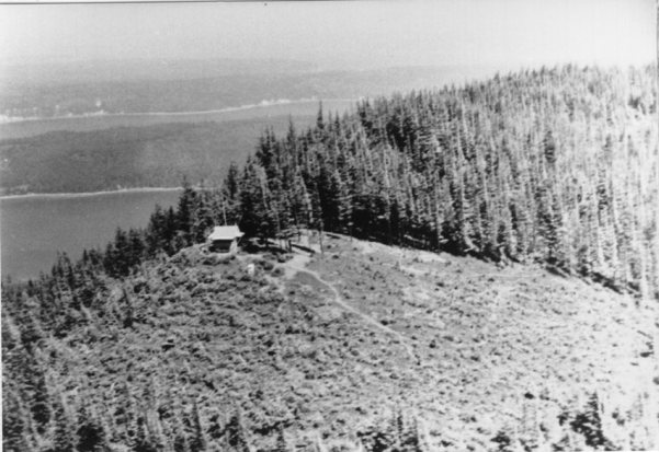
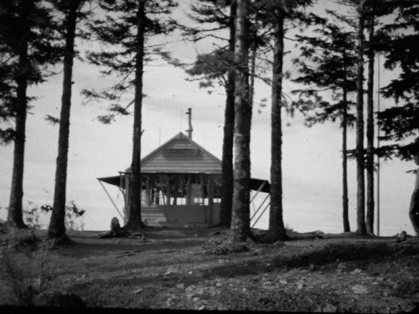
Mt. Walker by Dick B.
Walker Lookout aerial shot taken by Leland J. Prater 7-18-1957
Mt. Walker Lookout

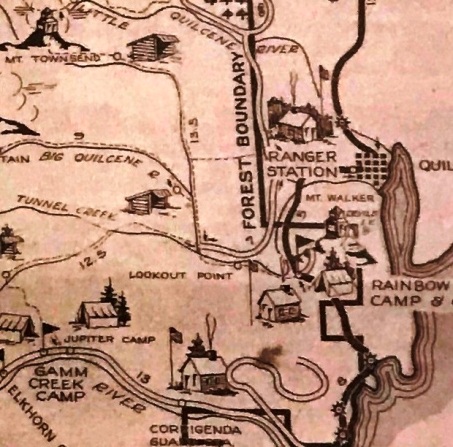
Recreation Map


AWS Observers
AWS access in 1942
AWS visit in 1942
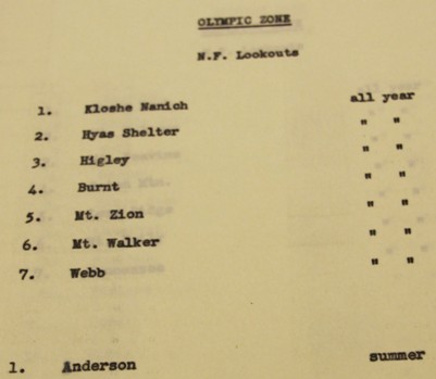
AWS station all year
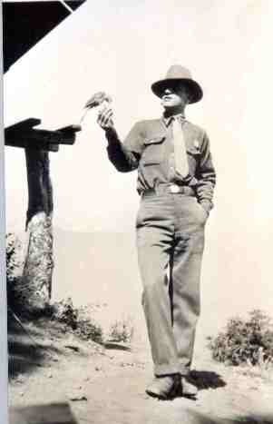
Guard at Mt. Walker
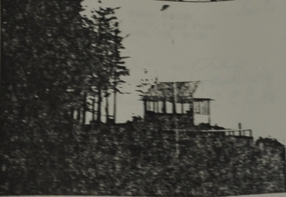
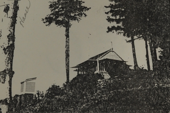
Written on back: Mt. Walker L.O. in 1936 before CCC boys built benches and railing.
(National Archives Collection)
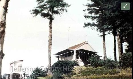
Written on back: Mt. Walker - after construction of railing, seats, etc. by CCCs in 1937. (National Archives Collection)
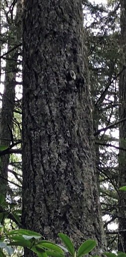
Phone insulator still there in 2020 on the ridge between the 2 lookout points.
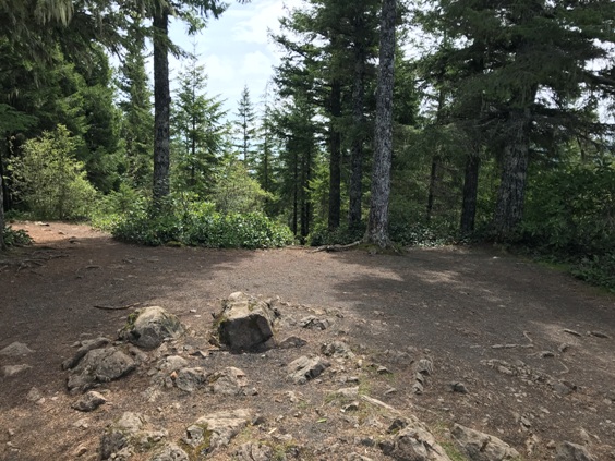
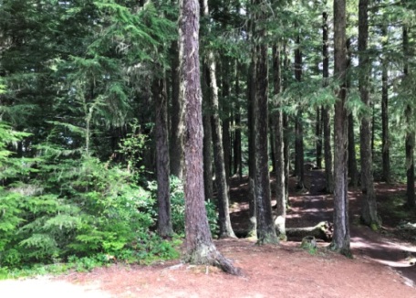
Same forest as panoramic on left
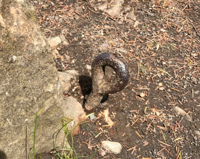

Eyebolt on the summit
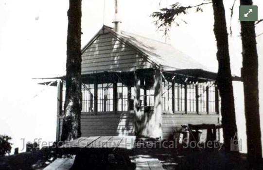
1937 view


