Jefferson Ridge Point Trail & Lookout
Washington Hiking
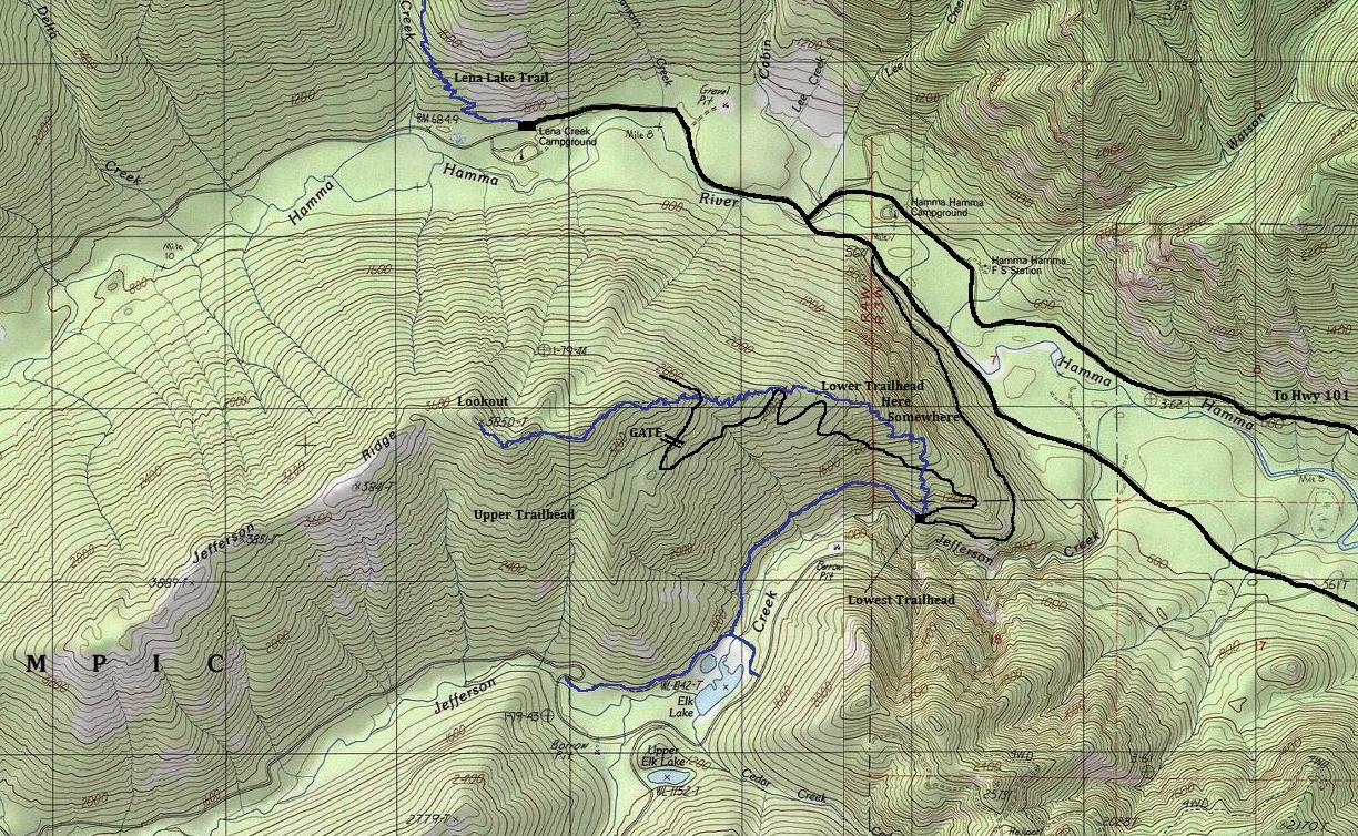
Jefferson Ridge is a forested wedge between the Hamma Hamma River and Jefferson Creek Valley. The ridge has one thing going for it, a high road and a former lookout site. The lookout was only used for a few years but much of it still remains with pieces everywhere. Old maps show the area as Jefferson Ridge Point so the lookout has been called that name in documents. The trail has three starting points at three different elevations. Trip reports are whacky crazy for this hike as nobody knows how to interpret a topo map so nobody knows where they started. To make matters worse, USGS maps are using both 40 & 80 foot contours along the road access. Here is the deal, you can hike from the bottom at the Elk Lake Trailhead on a faint path climbing to the "Lower Trailhead". If you drive to the Lower Trailhead, it is not signed, is at a sharp curve in the road and usually always missed while driving. Or you can just follow the road until it ends at a gate with plenty of parking. I have tried to show this on the map but I just drove to the gate so I have no idea where the middle (lower) trailhead or trail is located. The road to the upper trailhead isn't that bad but probably best for higher clearance vehicles.
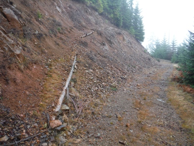
From Hoodsport, take 101 to FS Rd #25 (Hamma Hamma Recreation Area) 14 mi. north of Hoodsport. Follow FS Road #25 for 6.3 miles. Turn left on FS Road #2480 and go 0.2 miles to FS Road #2421. Turn right and follow this road for 3.3 mi. to trailhead, or continue on road another 0.8 miles to a gate and parking. The road is steep and rocky, best for high-clearance but a determined car could make it.
Access
Elevation: 3,850 feet
Distance: 1.5 miles
Elevation Gain: 1,000 feet
Road Access: Steep & Rocky Gravel
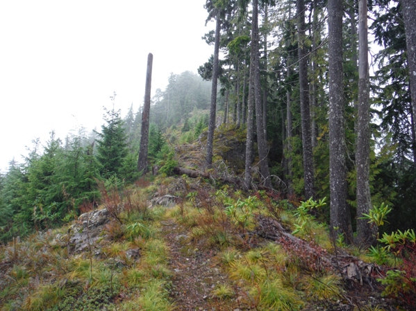
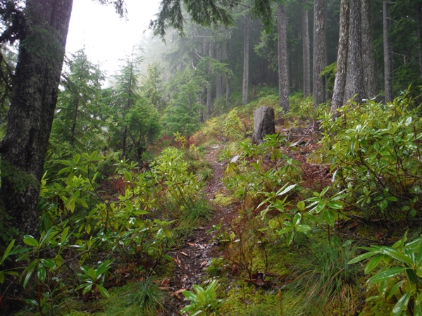
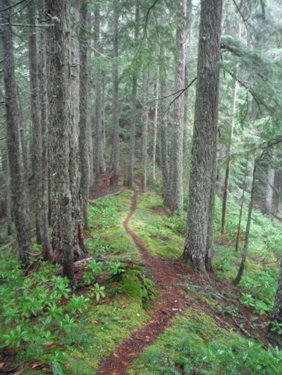
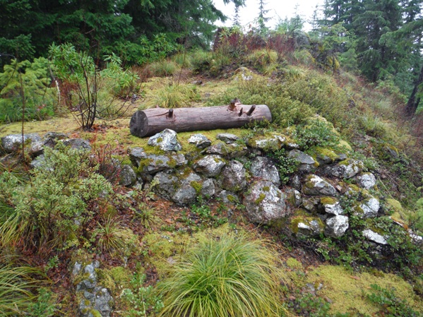
If you start at the upper trailhead, you are looking at 1.5ish miles with just under 1,000 foot gain. Based on the most reports, if you start at the lower trailheads, its anywhere from 2.5 to 2.8 miles with 2,350 to 2,732 gain. From the gate, walk the road uphill, then a bit of down to the trail-crossing. The trail will proceed uphill through many rhododendrons on minor switchbacks gaining the ridge proper. If the views are out, you will see out to Puget Sound and nearby peaks like Mt. Washington and the Brothers. Near the top, the forested ridge is cut on one side while older trees are on the other. Several spar poles line the ridge left from the logging. The final half mile enters all mature trees, traversing around a knob to the final little climb to the lookout location. The trail even passes a mini-cave around 8 feet deep, right along side the trail. At the top, its a bit disappointing as trees block so much of the view, the views are on the trail up. But, the old lookout foundation and much of the lookout is laying all around to explore.
Route
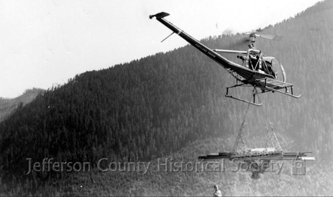
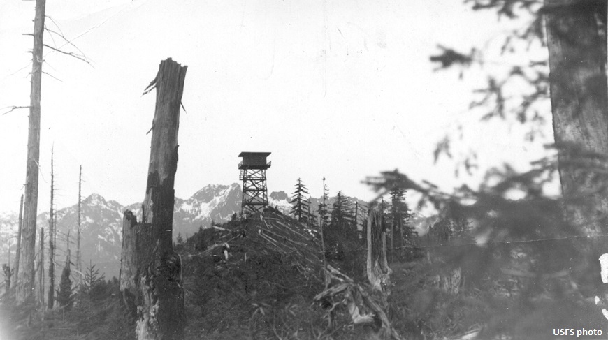
The Jefferson Ridge lookout was one of the last lookouts to be built in the Olympic National Forest. The parts for the lookout were flown up by helicopter in 1960 when a nearby forest fire had the helicopter staged at the Hoodsport Ranger Station. The ranger took advantage of the opportunity since the parts for the lookout happened to be stored at the ranger station. The Port Angeles Evening News reported in 1962 that the 40-foot tower lookout house was finished and had not the lumber been flown up, it would have taken five horses 33 days to deliver the lumber. In 1967 the lookout was no longer needed and burned. But, a June 1976 Shelton-Mason Co. Journal had an article about the Army helping with trail maintenance in the area. It specifically stated that they also disassembled and cleaned a partially burned lookout at Jefferson Ridge. Based on the debris there in 2014, they did not do a very good job cleaning the site. It is pretty obvious they just disassembled the structure, then tossed it in a pile and burned it again.
History
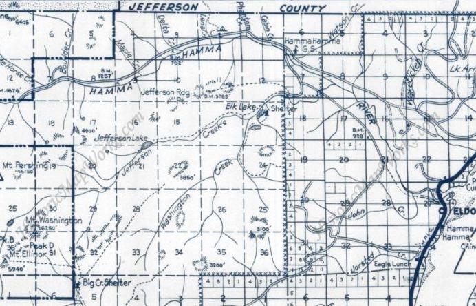
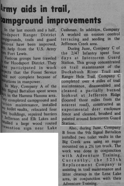
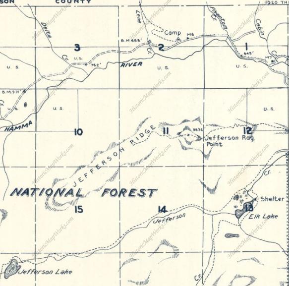
A trail existed in 1947 to a Jefferson Ridge Point Benchmark
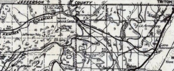
Metsker Map in 1980 showing the lookout
1955 Metsker showing the trail (pre-lookout)
Lower trail and road location is approximate
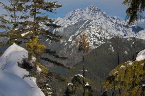
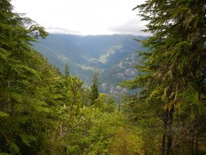
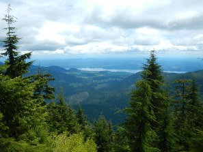
Mount Washington
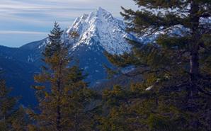
The Brothers
Four photos above on clear day: Taken by Joe Hendrecks & Olygrywolf who posted on WTA.org
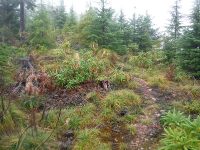
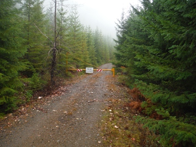
Gate at the high trailhead
Trail leaving the road
Trail is tropical looking
Getting near the top
The remaining cut area on the left, note spar pole tree
Almost into the old-growth
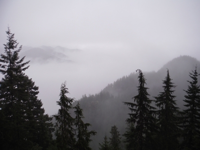
Best view of the day
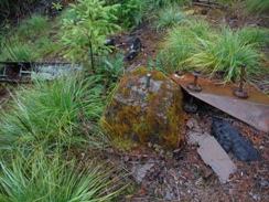
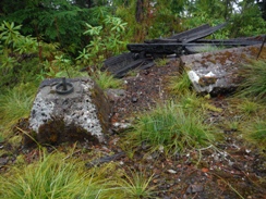
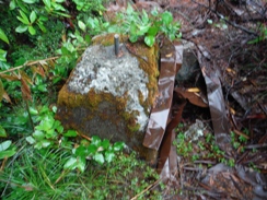
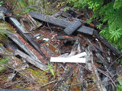
Main lookout pile
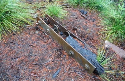
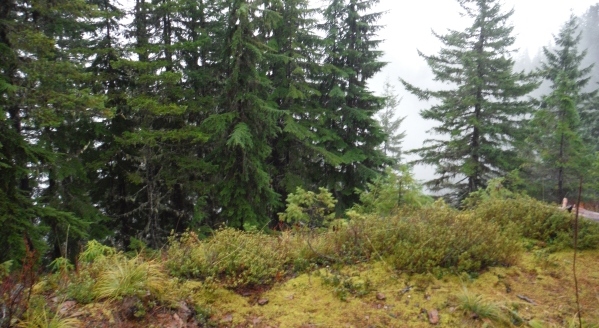
Trees growing into the view
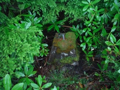
An old foundation near the lookout spot
Footing 1
Footing 2
Footing 3
Footing 4
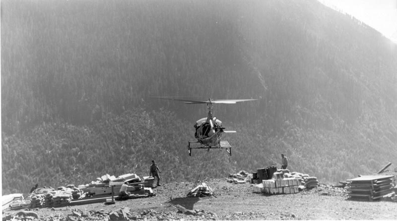
Arrival of materials for lookout 1960
Jefferson Ridge 1961
